CYCLONE for Junior Cycle Geography: Chapter 07 - Geographical Skills: Ordnance Survey Maps
1/17
There's no tags or description
Looks like no tags are added yet.
Name | Mastery | Learn | Test | Matching | Spaced | Call with Kai |
|---|
No analytics yet
Send a link to your students to track their progress
18 Terms
Map
A map is a scaled-down drawing or plan of all or part of the earth's surface.
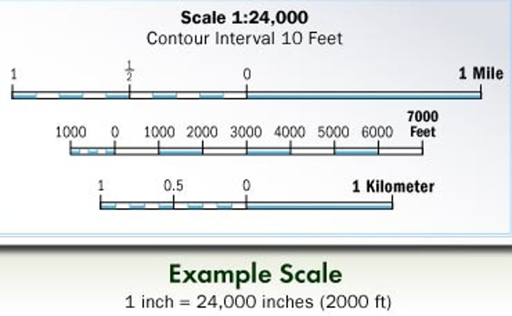
Scale
The relationship between a distance on a map and its corresponding distance on the ground.
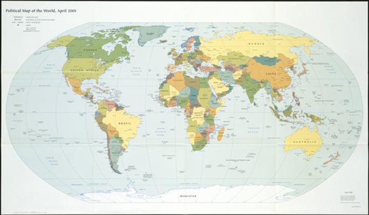
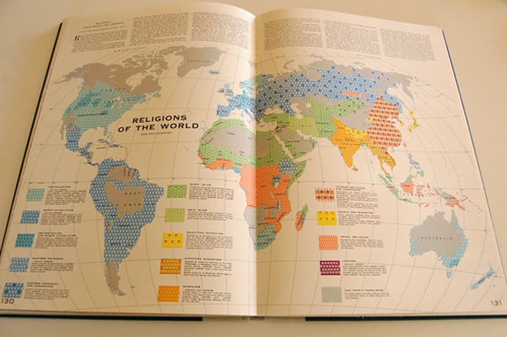
Atlas
A collection of maps.
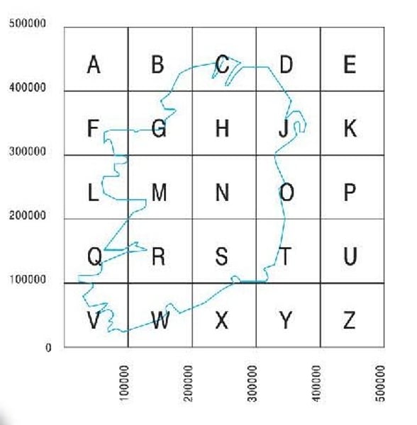
National Grid
Used to locate areas on Ordnance Survey maps.

Eastings
Vertical lines on an Ordnance Survey map.
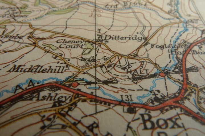
Northings
Horizontal lines on an Ordnance Survey map.

Grid reference
Used to denote a specific location on an Ordnance Survey map.
Altitude
Shown in metres above sea level on an OS map.

Triangulation stations
These are black triangles with the altitude measurement written beside them.
Spot heights
These are black dots with the altitude measurement written beside them.
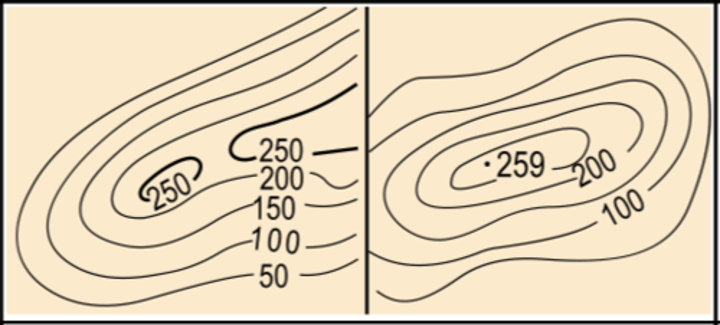
Contours
These are lines that join places of equal height.
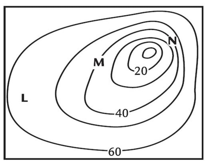
Slope
Describes the steepness of the land.
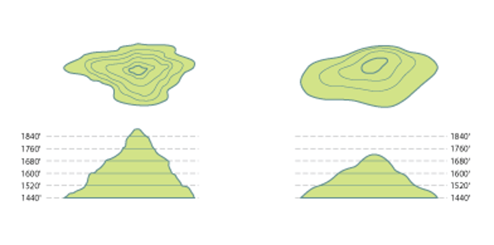
Cross-sections
A side view of the landscape.
Settlement
A place where people live.
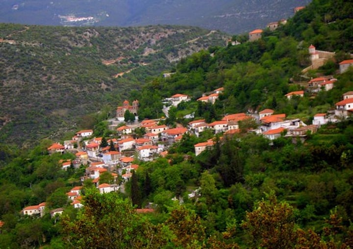
Density
The amount of settlement.
Dispersed
Houses isolated or spread around the countryside.

Linear
Buildings that follow a road or coastline in a direct style.
Nucleated
Buildings grouped together.