ap huge
1/15
There's no tags or description
Looks like no tags are added yet.
Name | Mastery | Learn | Test | Matching | Spaced | Call with Kai |
|---|
No analytics yet
Send a link to your students to track their progress
16 Terms
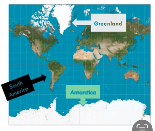
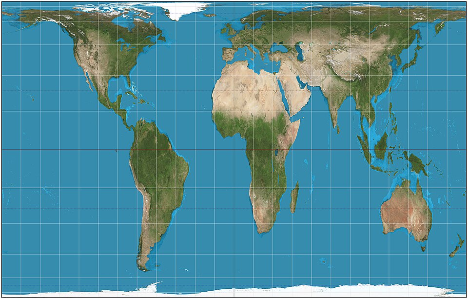
Mercator map projection
rectangular in shape
Used mostly for marine transportation
Shows true direction between places best
Land size is distorted or misrepresented near north and south poles
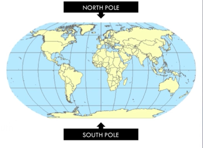
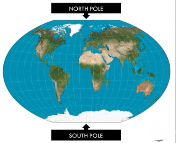
Robinson map projection
Rectangular in shape with rounded edges
Most commonly used map projection
Continents are shown most truest in size and shape
North and south poles are flattened
Winkel tripel map projection
rounder in shape
Minimal or small amounts of distortion in size of land distance, and direction
Distortion near North and south poles latitude lines are curved
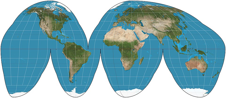
Goode homolosine projection
interrupted equal area map projection
Minimizes area distortion, but sacrifices, accurate shape, shapes, distances, and directions, especially in oceans
Continents connected breaking up, oceans
Ideal for showing global distribution of things
DTM stage 1
no country in stage
HBR / HDR
Very low/zero population growth
Pre -industrialized societies
Goode homosoline
DTM stage 2
HBR and rapidly falling DR
Rapid population growth
Better sanitation, medicine, etc
Industrial state
Most flights from LDC’s to MDC’s
Mercator
Robinson
galls-Peterson
equal-area map projection. Like all equal-area projections, it distorts most shapes. It is a cylindrical equal-area projection with latitudes 45° north and south as the regions on the map that have no distortion.
Peterson
Winkel tripel
DTM stage 3
Falling BR, falling DR
Slowing pop. growth/more urbanization
Woman’s roles/education increase
DTM Stage 4
Low BR, low DR
Stable or ZPG growth
Developed nations
DTM Stage 5
BR falls below DR, negative NIR
Population decline= aging population