Unit 4: Topography and Maps
1/14
There's no tags or description
Looks like no tags are added yet.
Name | Mastery | Learn | Test | Matching | Spaced | Call with Kai |
|---|

15 Terms
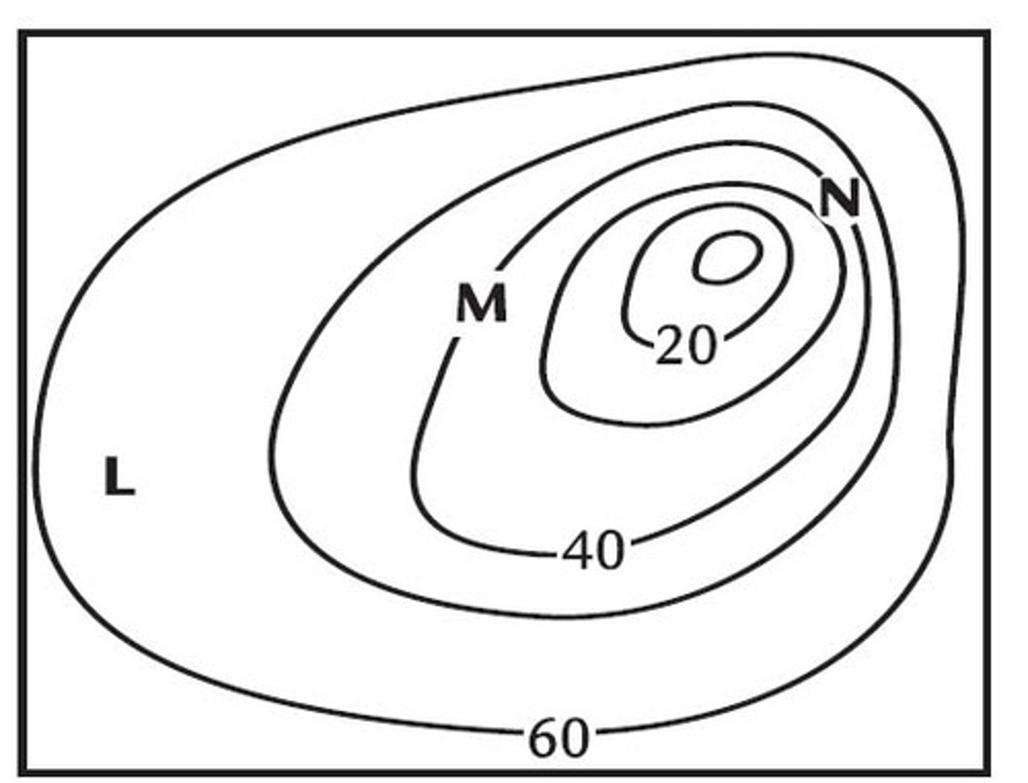
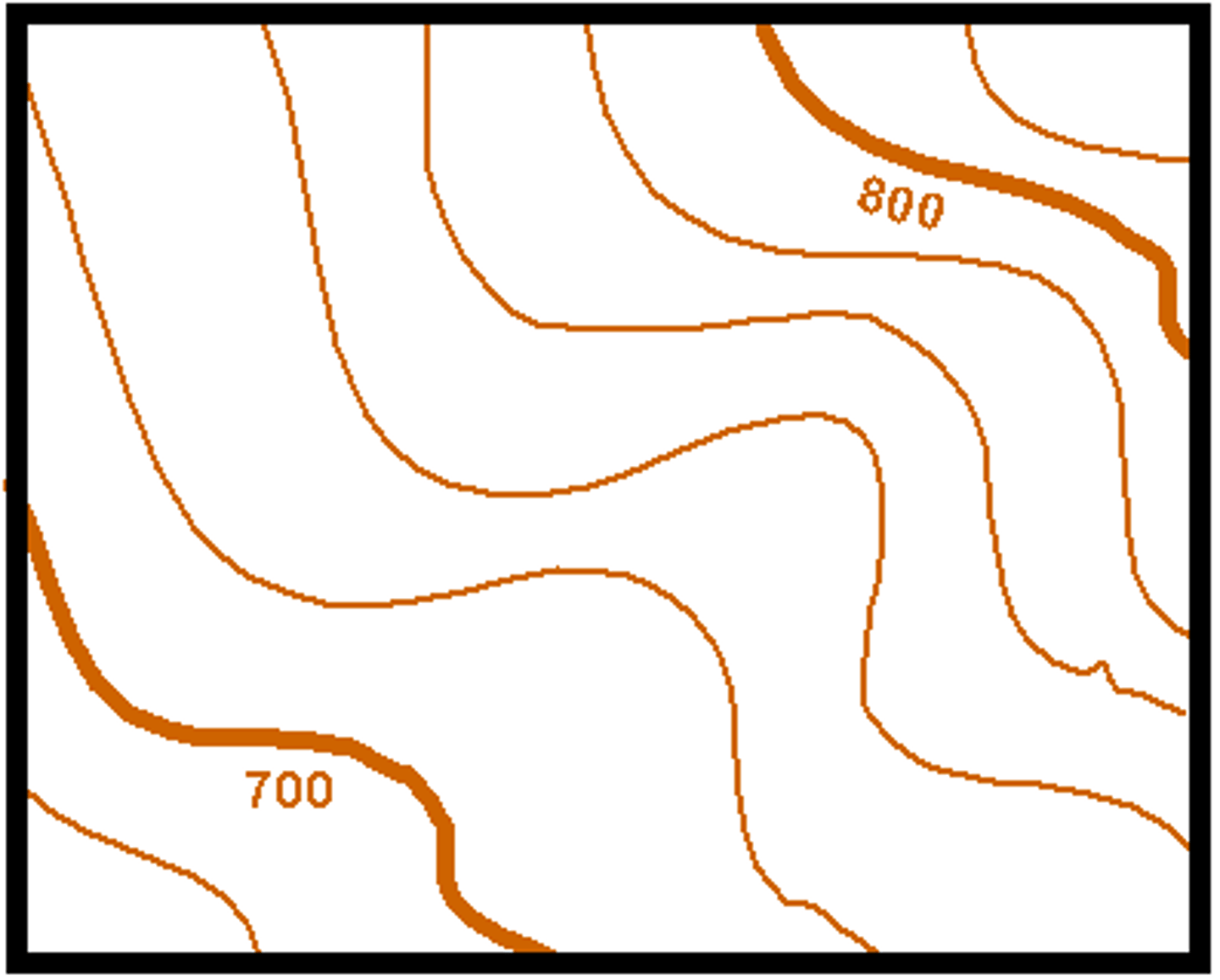
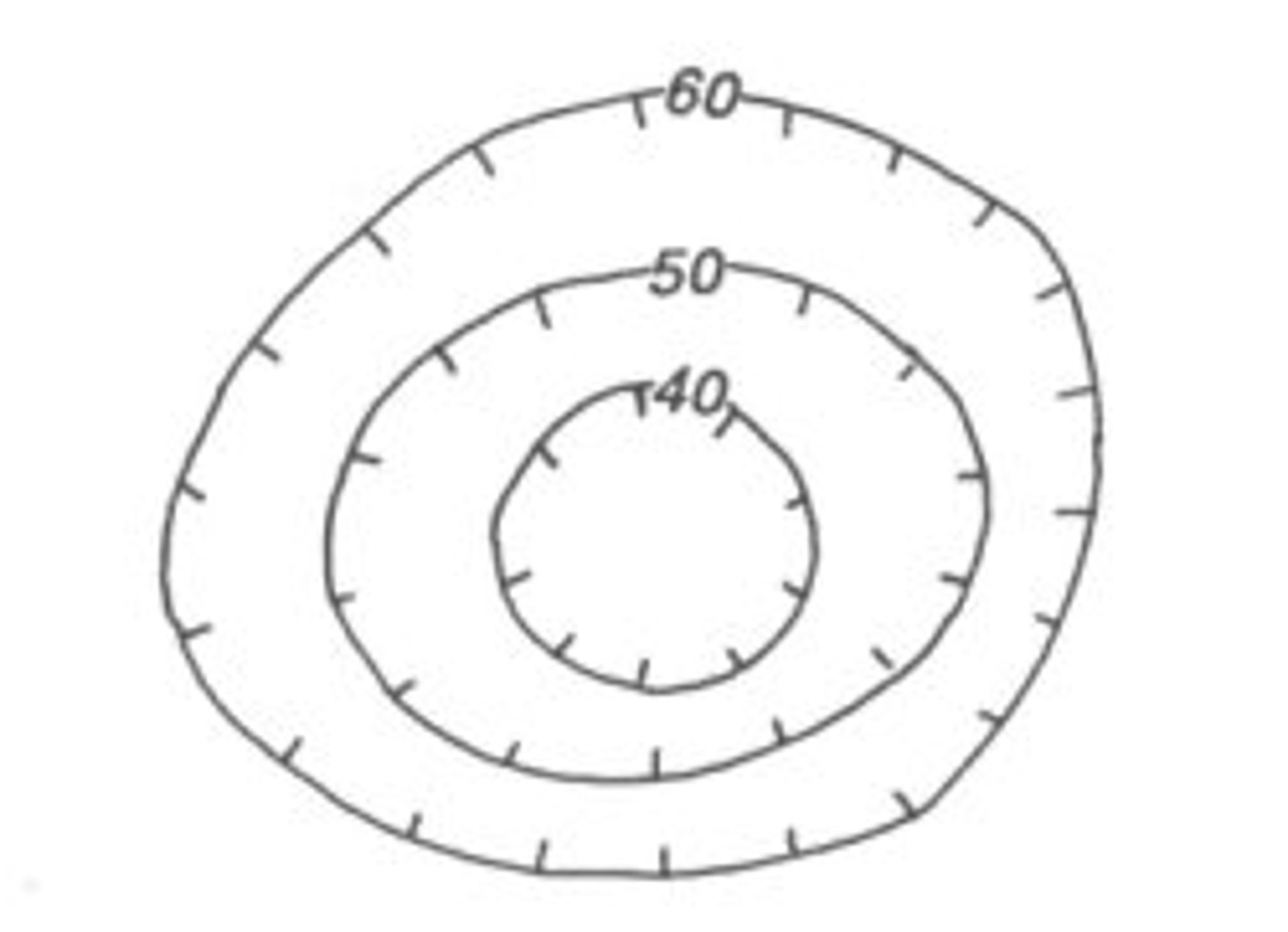
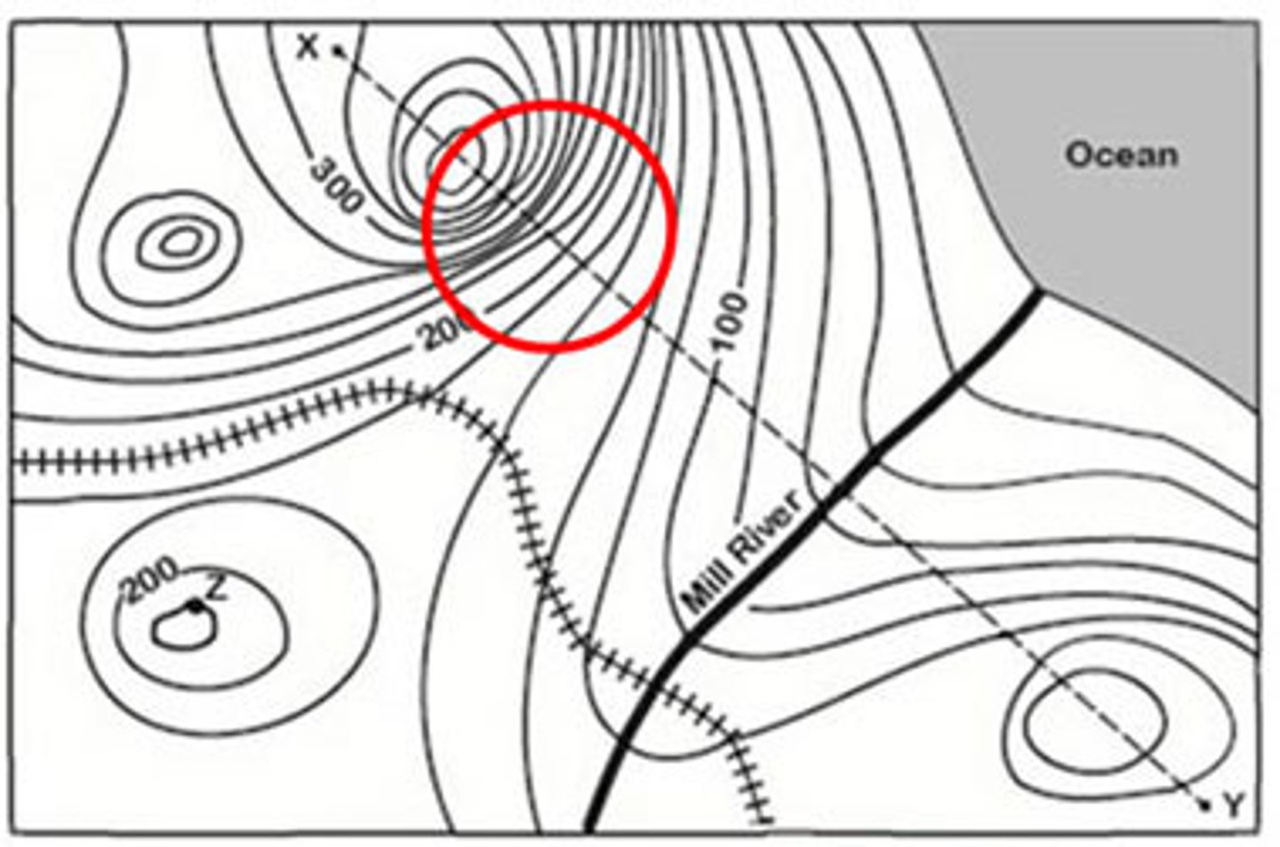
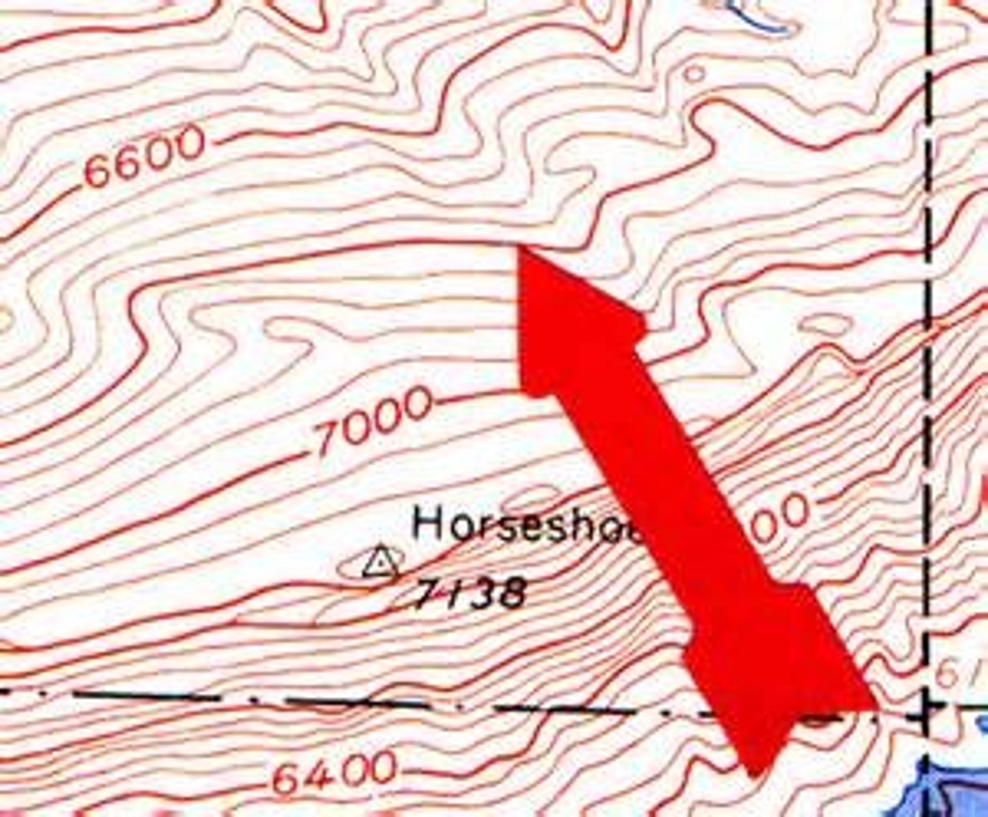
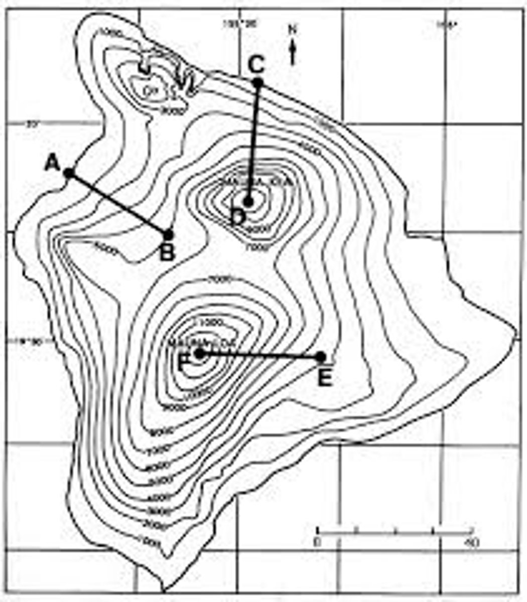
Contour interval
The difference in elevation between one contour line and the next.

Contour line
A line on a topographic map that connects points of equal elevation.
Depression contour lines
Have hachure lines or teeth on them and indicate a hole or crater in the Earths surface.
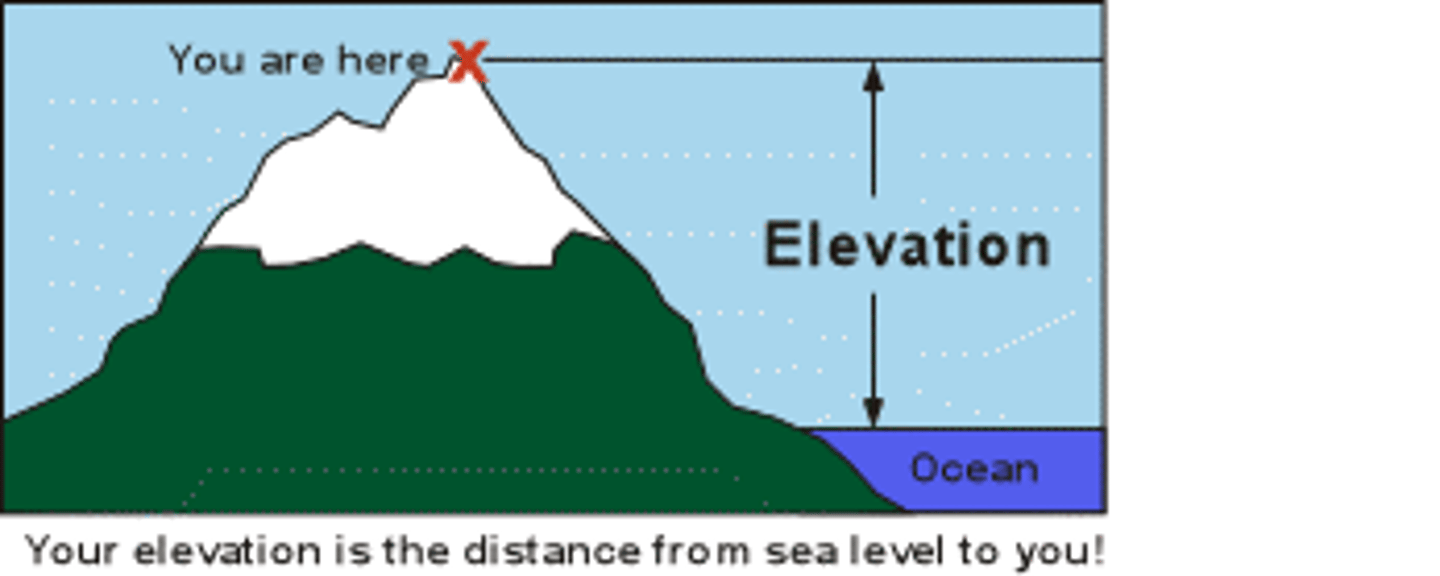
Elevation
Height above sea level.
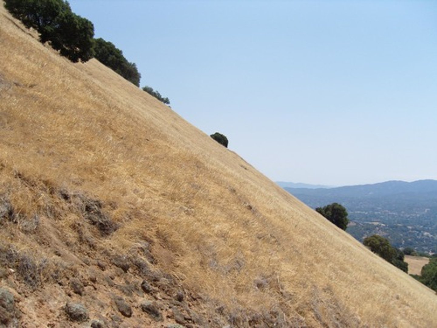
Steep slope
When the contour lines on a topographical map are close together.
Legend/Key
Explains the meaning of the symbols on the map.
Index contour
On a topographic map, a heavier contour line that is labeled with elevation of that contour line.
Sea level
The level of the surface of the ocean.
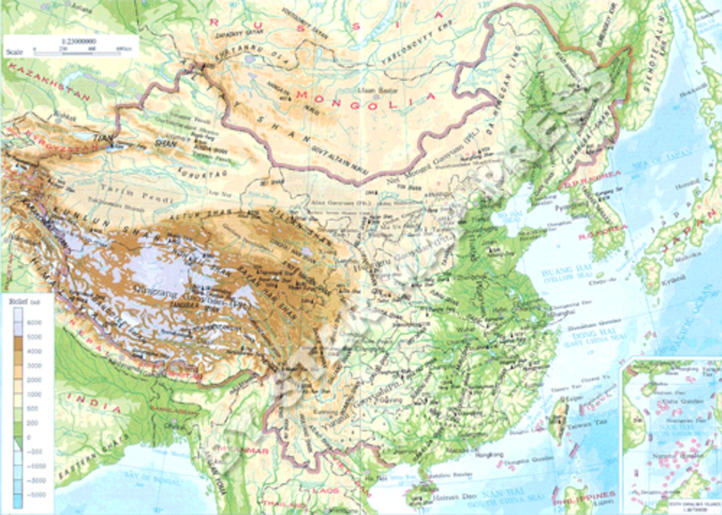
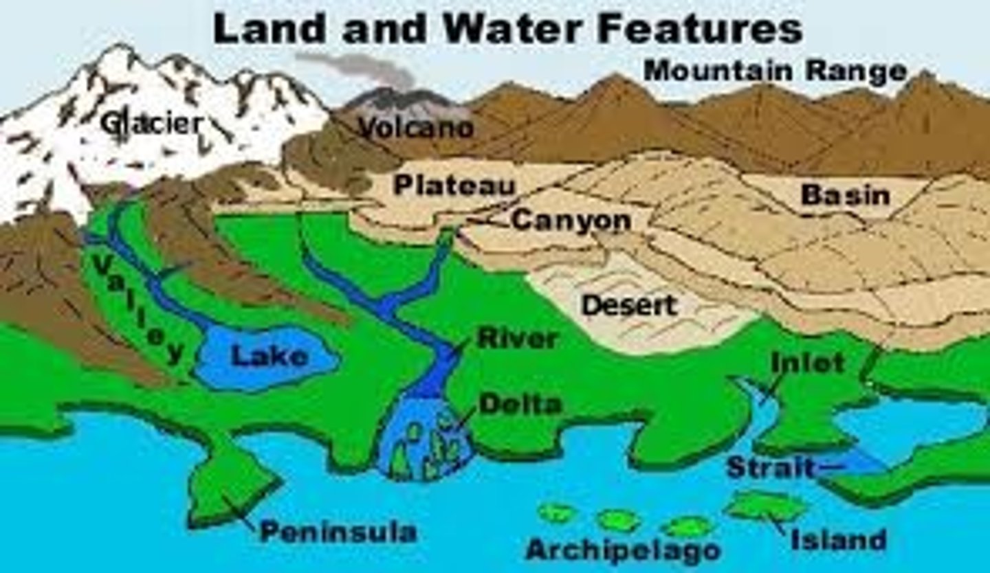
Topography
A description of surface features of land.
Surface features
Distinctive part, quality, or characteristic of the Earth's outer layer
Topographic map
A map that shows the surface features of an area.
Gradient
An incline or slope; the rate of incline
Latitude
Distance north or south of the equator
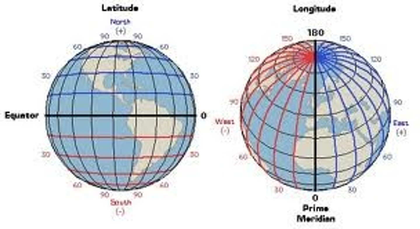
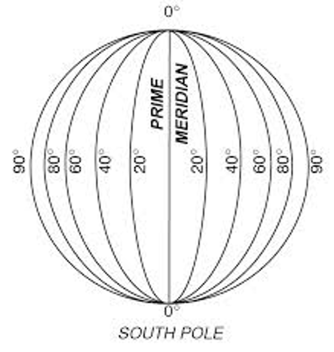
Longitude
Distance east or west of the prime meridian, measured in degrees.
Gentle slope
Shown by widely spaced contour lines.