AP Human Geography Review
0.0(0)
0.0(0)
Card Sorting
1/28
There's no tags or description
Looks like no tags are added yet.
Study Analytics
Name | Mastery | Learn | Test | Matching | Spaced |
|---|
No study sessions yet.
29 Terms
1
New cards
Aggregation
To come together into a mass, sum, or whole.
2
New cards
Anthropogenic
Human-induced changes on the natural environment.
3
New cards
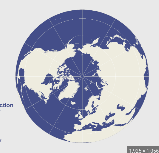
Azimuthal Projection
A map projection in which the plane is the most developable surface.
4
New cards
Breaking Point
The outer edge of a city’s sphere of influence, used in the law of retail gravitation to describe the area of the city’s hinterlands that depend on that city for it's retail supplies.
5
New cards
Cartogram Map
A type of thematic map
6
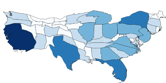
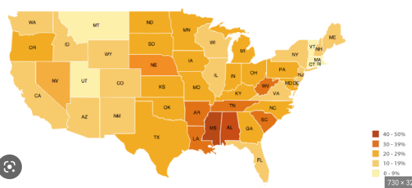
New cards
Chloropleth Map
Uses colors and tones to represent data
7
New cards
Contagious Diffusion
The spread of a disease, an innovation, or cultural traits through direct contact with another person or place
8
New cards
Cultural Ecology
The study of the interactions between societies and the natural environments in which they live.
9
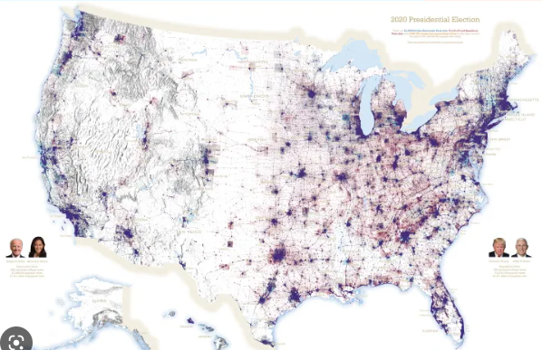
New cards
Dot Maps
Used to show specific observations and occurrences. Crimes, car accidents, births
10
New cards
Expansion Diffusion
The spread of ideas, innovation, fashion, other phenomena to surrounding areas through contact and exchange
11
New cards
Formal Region
Definition of regions based on common themes such as similarities in language, climate, land use, etc
12
New cards
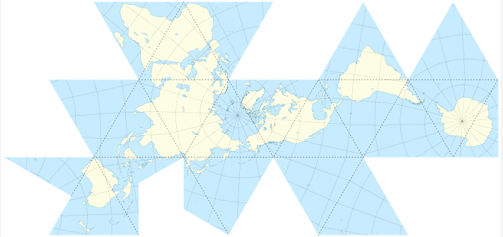
Fuller Projection
Maintains accurate shape and size but cardinal directions no longer have any meaning
13
New cards
Functional Region
Definition of regions based on common interaction (circulation of a particular newspaper)
14
New cards
GIS
Geographical Information System - computer tools to capture, store, transform, analyze, and display geographic data
15
New cards
Geoid
Actual shape of Earth, it's slightly squashed from top to bottom
16
New cards
GPS
Global Positioning System - Satellites to determine locations
17
New cards
Hierarchical Diffusion
A type of diffusion in which something is transmitted between places because of physical or cultural connections
18
New cards
Isoline
A map line that connects points of equal or very similar values (think topographic map)
19
New cards
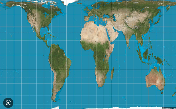
Mercator Projection
Useful for navigation, had distortion at the poles
20
New cards
Perceptual Region
Individualized definitions of regions based preconceived notions
21
New cards
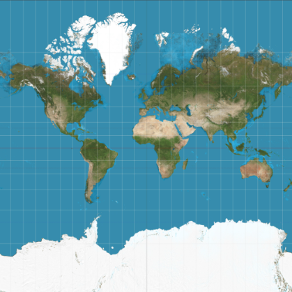
Peters Projection
Centered on Africa, equal area projection
22
New cards
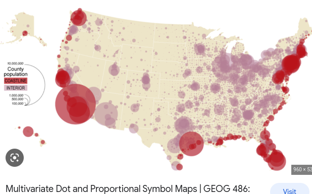
Proportional Symbols Map
The chosen symbol represents a statistic and gets bigger and smaller depending
23
New cards
Relocation Diffusion
The diffusion of ideas, innovation, etc through migration
24
New cards
Remote Sensing
The observation and mathematical measurement of Earth’s surface using aircraft and satellites. The sensors include photographic images, thermal images, multispectral scanners, and radar images.
25
New cards
Resolution
A map’s smallest discernable unit
26
New cards
Robinson Projection
It does not maintain area, shape, distance, or direction accurately but minimizes errors in each
27
New cards
Site
The absolute Location, characteristics of the absolute place
28
New cards
Situation
The relative location, how to connects and depends on other areas.
29
New cards
\