Geography
1/39
Earn XP
Description and Tags
Study Cards
Name | Mastery | Learn | Test | Matching | Spaced | Call with Kai |
|---|
No analytics yet
Send a link to your students to track their progress
40 Terms
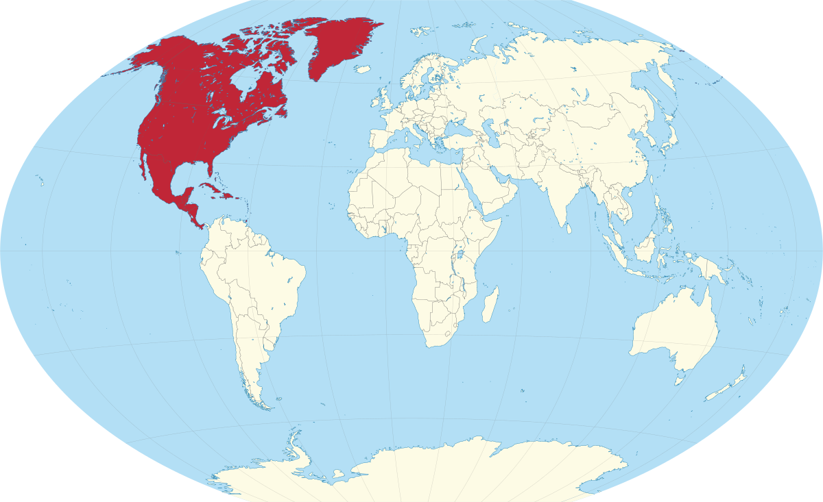
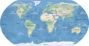
North America
The continent that includes the US.


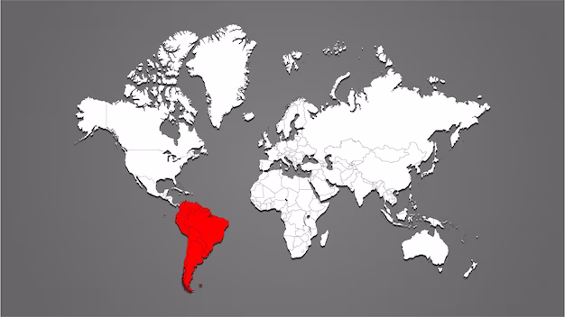
South America
The continent that is beneath North America
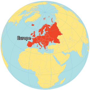
Europe
Attached to Asia


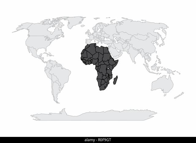
Africa
South of Europe
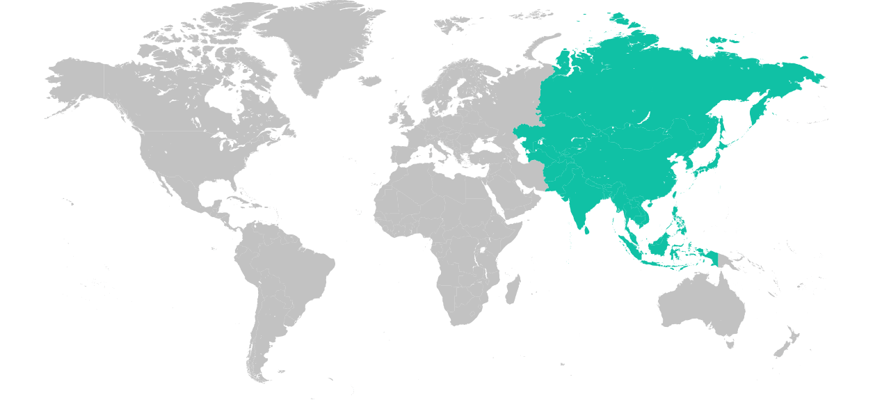
Asia
The biggest continent in the world

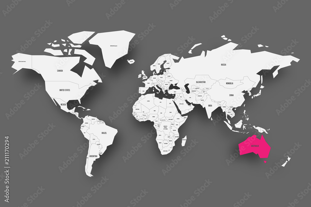
Australia
Southeast of Asia


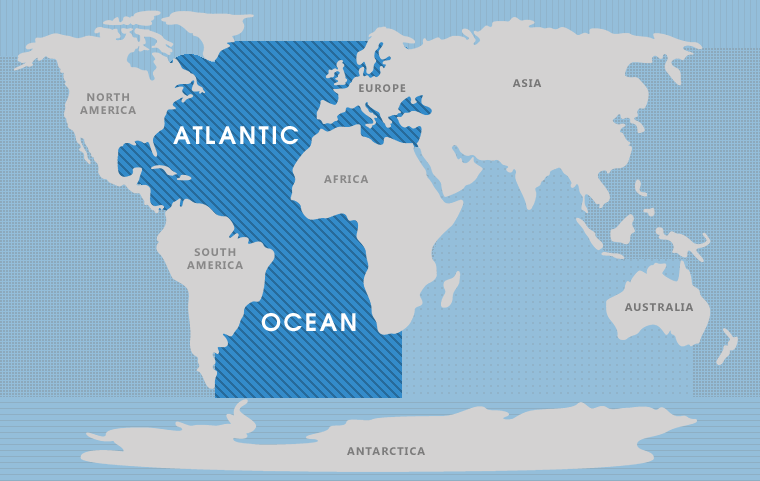
Atlantic Ocean
In between North America and Europe
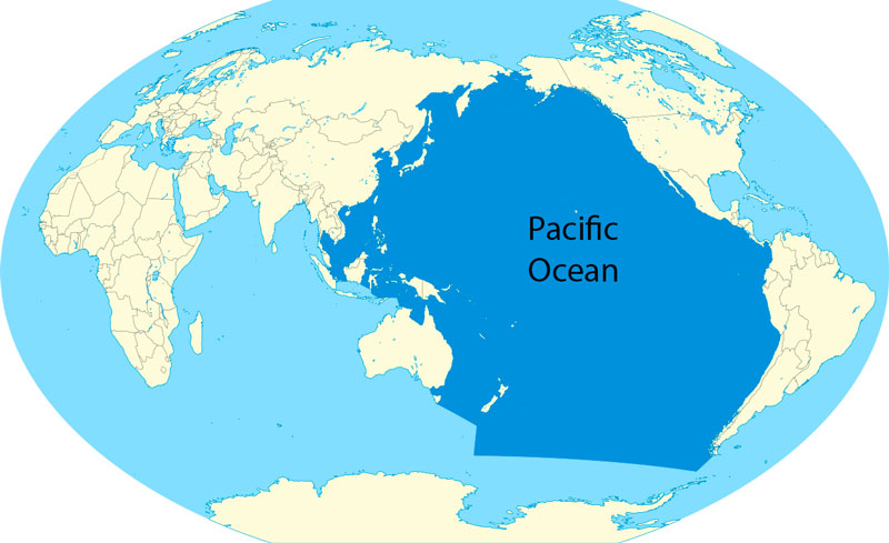
Pacific Ocean
In between North America and Asia


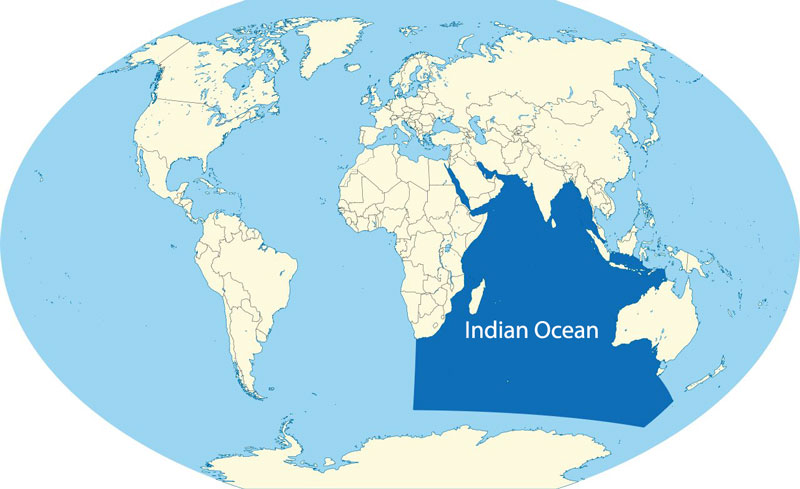
Indian Ocean
In between Africa and Australia

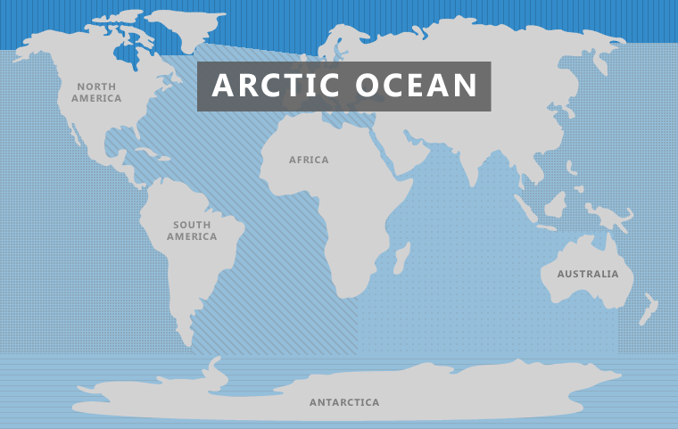
Arctic Ocean
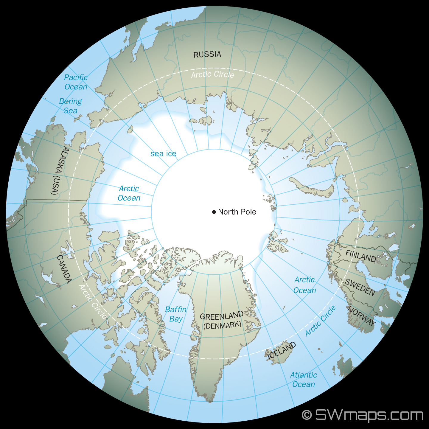
On top of the Earth

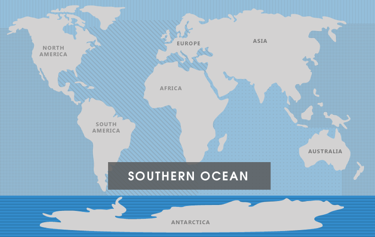
Southern Ocean
Above Antarctica
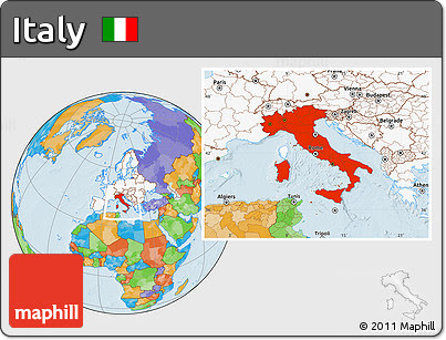
Rome
Long and skinny

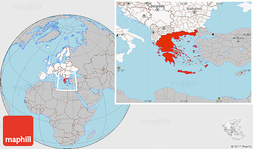
Greece
Fat and short

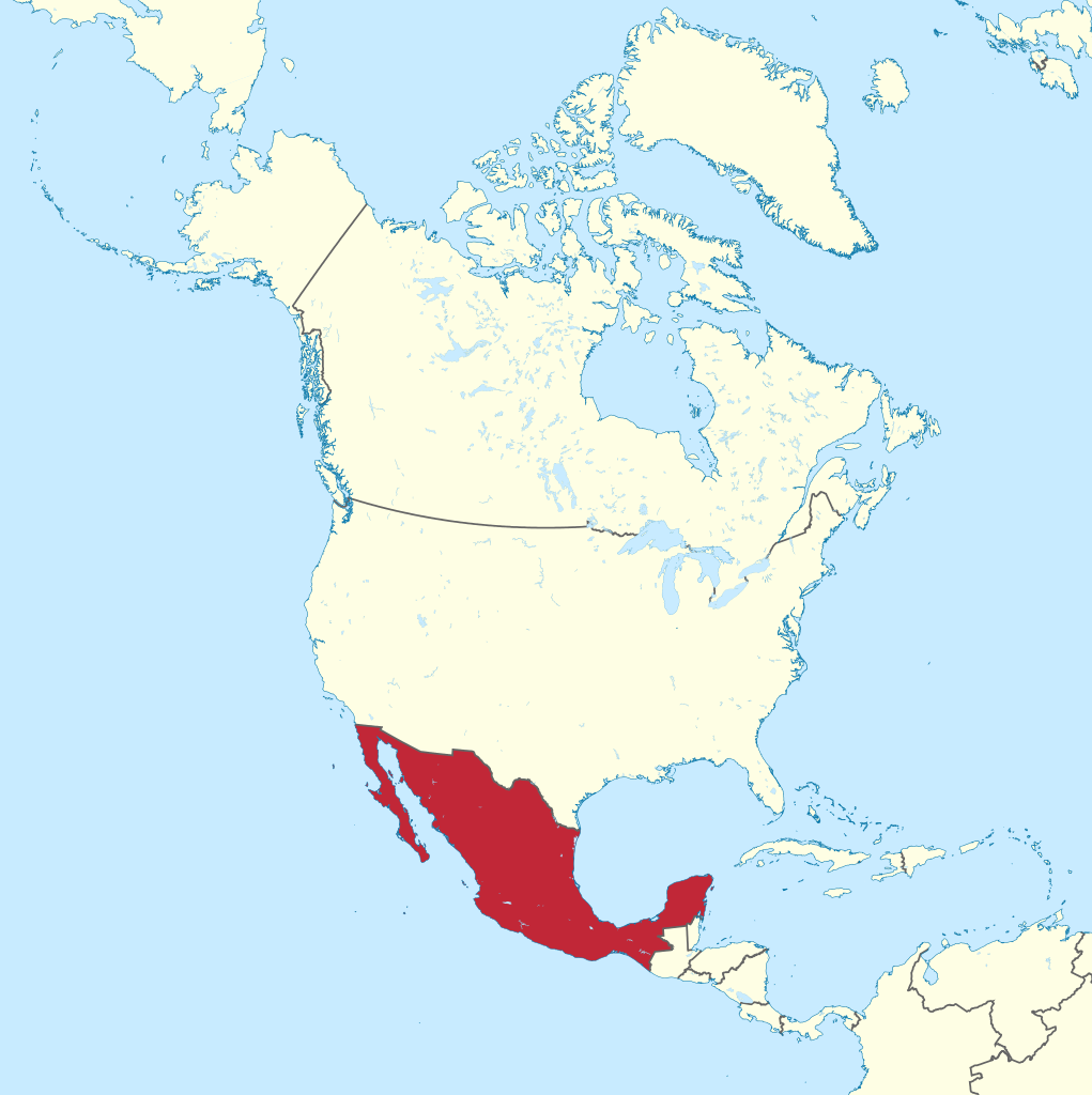
Mexico
In North America below US


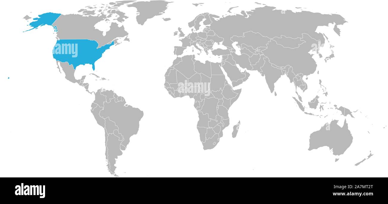
United States
In North America

Antarctica
The bottom of the Earth
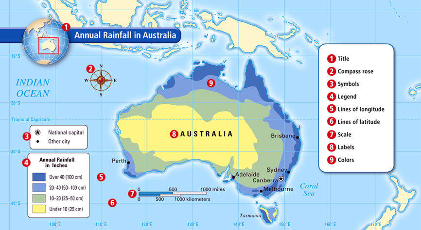
Title
Tells you what its about

Legend
Tells you what the symbols on the map mean


Inset Map
Gives a bigger picture of the surrounding area

Scale
Varies from map to map. Gives the distance between locations
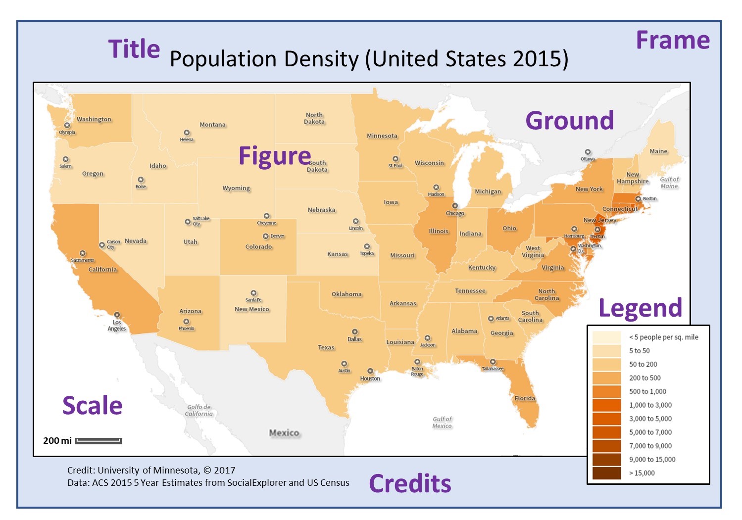

Compass Rose
Shows directions

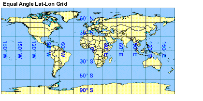
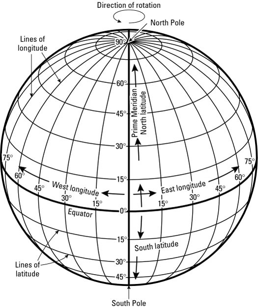
Degrees
Units of latitude or longitude.
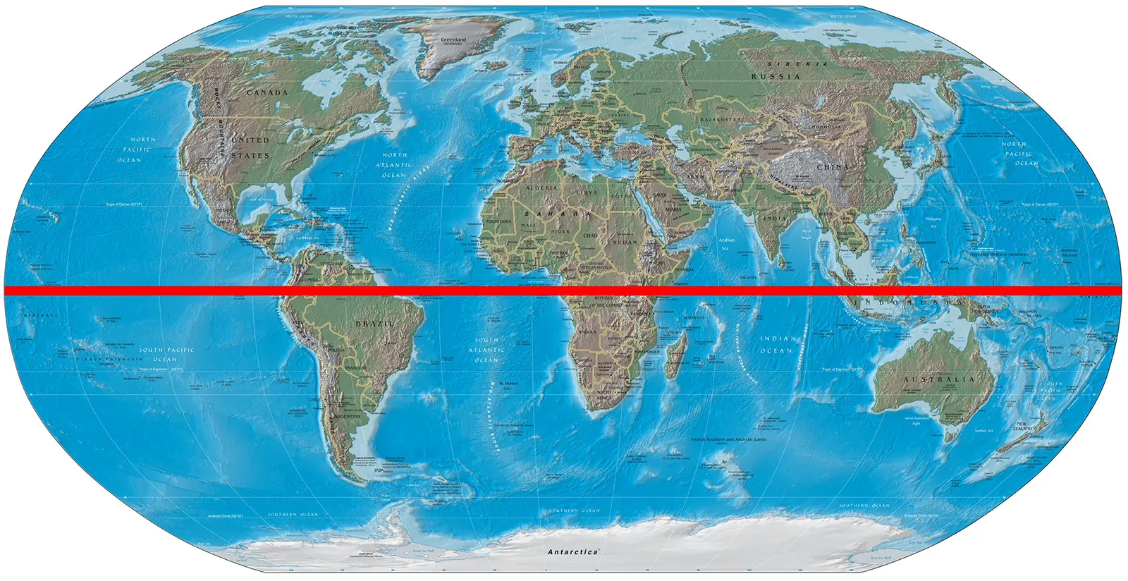
Equator
An imaginary line that runs around the center of Earth, halfway between the North and South Poles at 0 degrees latitude.


Meridians (Lines of Longitude)
Imaginary lines on Earth that run between the North and South Poles.
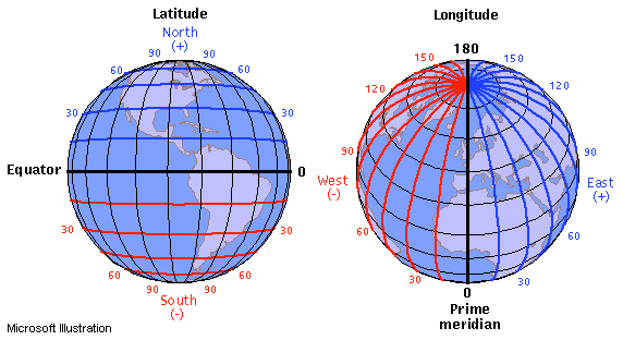

North Pole
The point on Earth located at 90 degrees north latitude, where the lines of longitude meet.

Parallels (Lines of Latitude)
Imaginary lines on Earth that run parallel to the equator.

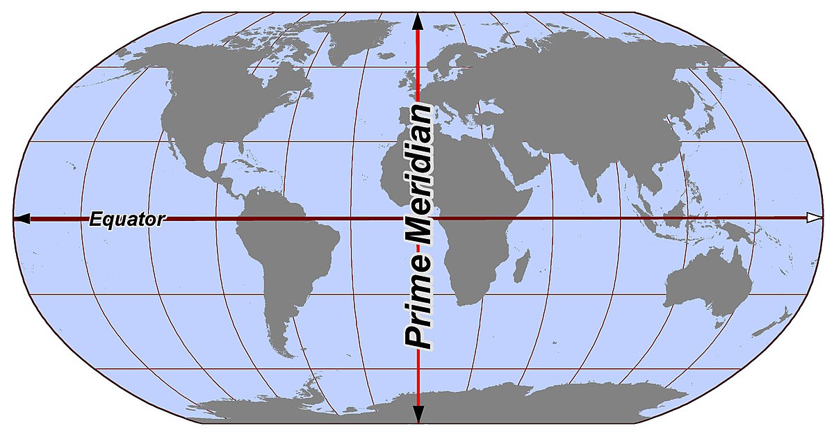
Prime Meridian
An imaginary line that runs from the North Pole to the South Pole of Earth at 0 degrees longitude.

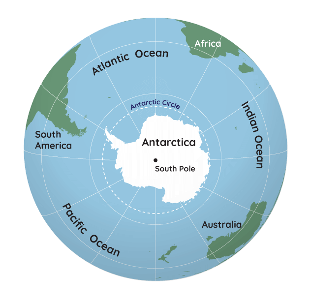
South Pole
The point on Earth located at 90 degrees south latitude where the lines of longitude meet.

Cartographer
A mapmaker


Hemisphere
Half of the earth
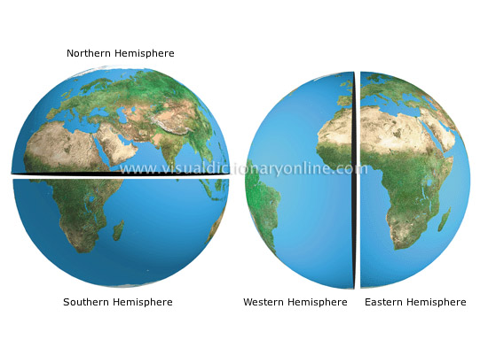

Northern Hemisphere (include which continents are in it?)
The northern part of the Earth. Includes North America, Africa, Europe, and Asia.
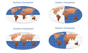
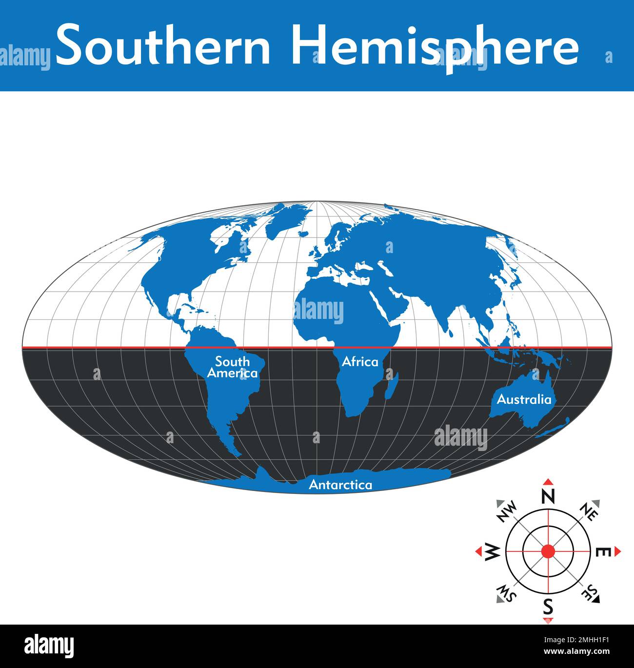
Southern Hemisphere (include which continents are in it?)
The southern part of the Earth. Includes Africa, South America, Australia, and Antarctica.


Eastern Hemisphere (include which continents are in it?)
The eastern part of the Earth. Includes Africa, Asia, Europe, Antarctica, and Australia.
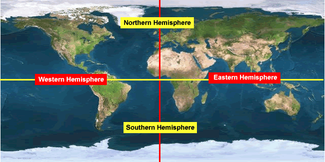
Western Hemisphere (include which continents are in it?)
The western part of the Earth. Includes Africa, North America, South America, and Antarctica.


Geographic Grid
The system of latitude and longitude used to find locations

Index
An indicator, sign, or measure of something
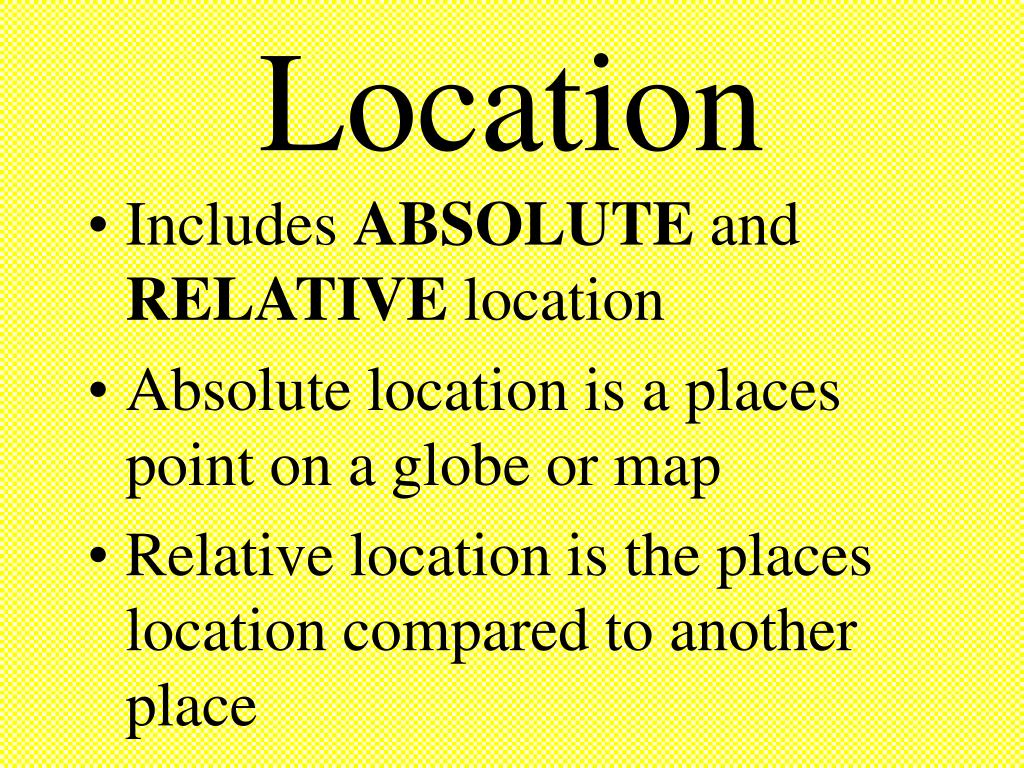
Relative location
A description of how a place is related to another place

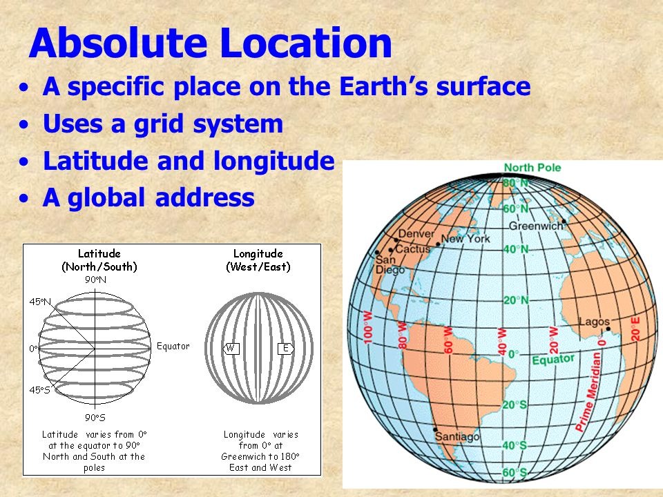
Absolute location
Describes the position of a place in a way that never changes, no matter your location


Grid
A network of lines that cross each other to form a series of squares or rectangles.


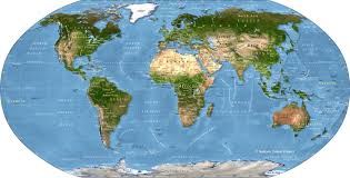
Physical Map
A type of map that represents the physical features of a particular area or region using contour lines.