Looks like no one added any tags here yet for you.
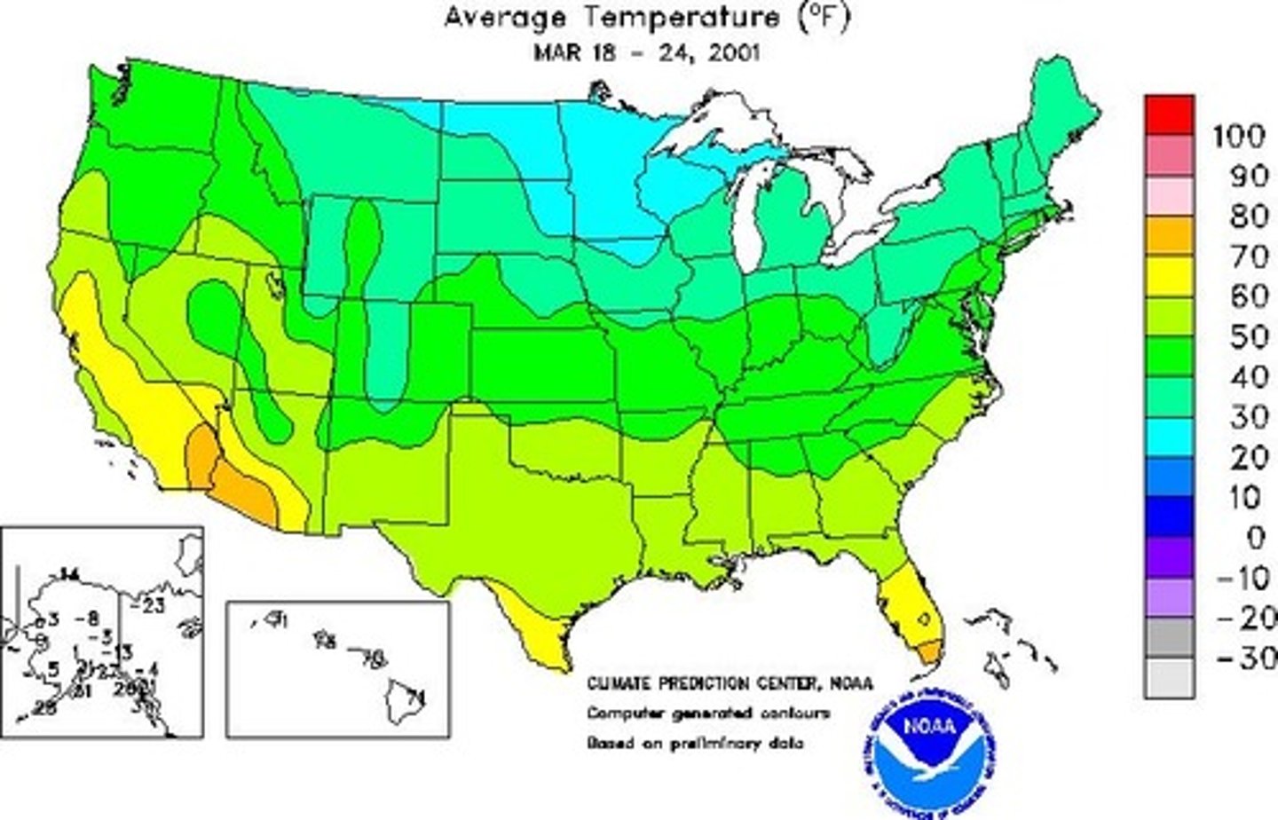
Isoline Map
A map that connects with lines all the places that have different values from each other.
Isoline Map Image
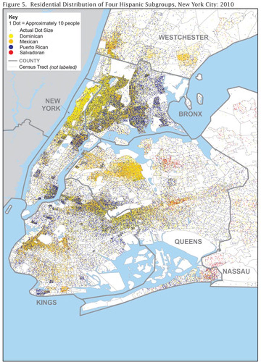
Dot Distribution Map
Maps that are used to show exact location and distribution of certain stuff across a map.
Dot Distribution Map Image
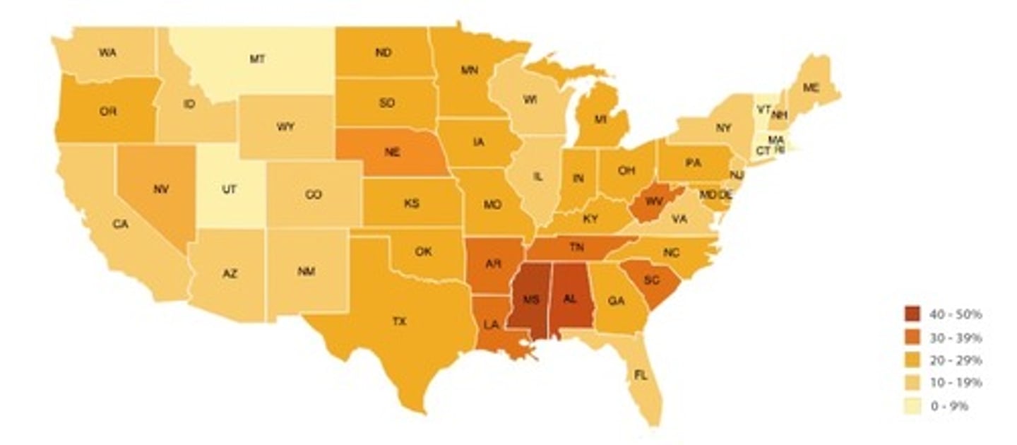
Choropleth Map
A map that uses various colors, different shades of one color, or patterns to show the location and distribution of geographical data.
Choropleth Map Image
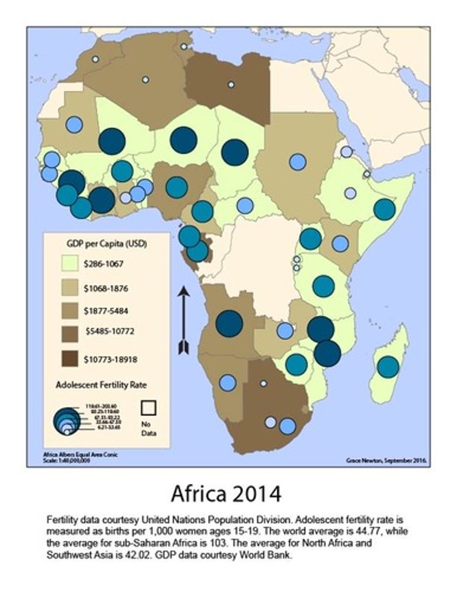
Graduated Symbol Map
A map that uses symbols of different sizes to show different amount of something.
Graduated Symbol Map Image
Cartogram
Maps that have them size of countries depend on a statistic.
Cartogram Image
Reference Maps
Maps for people to know about general things in places.
Political Maps
Maps that show human-created boundaries (countries, states, cities, etc.)
Physical Maps
Maps that show natural features of Earth.
Road Maps
Maps that show highways, streets, and alleys.
Plat Maps
Maps that show and label property borders and the details of the ownership.
Absolute Distance
Distance measured in feet, miles, meters, or kilometers.
Relative Distance
Distance measured based on time or money and it depends on the mode of travel.
Elevation
The distance of things above sea above sea level, usually measured in feet or meters.
Distribution
The way an event is spread out over an area.
Clustering Distribution
Events organized in a group or area close to each other.
Linear Distribution
Events arranged in a straight line
Dispersed Distribution
Events spread out over a big area.
Circular Distribution
Events that are equally spread from a central point, creating a circle.
Geometric Distribution
Events that are in a normal positioning
Random Distribution
Events that have no order at all.
Projection
The method of transferring locations on Earth to a flat map.
Shape Distortion
when the shape seems more elongated or squat than they actually are.
Distance Distortion
When the distance between to points is increased or decreased.
Relative Size (Area) Distortion
When an area seems larger than another on a map but its actually smaller.
Direction Distortion
When the direction from one place to another is distorted.
GIS (geographic information system)
A system that captures stores, queries and shows the geographic data.
GPS (global positioning system)
A system that determines the exact position of something on Earth.
Remote Sensing
Technology that gets information from satellites that orbit Earth or other devices.
Online mapping and visualization
Using the internet for mapping
Geovisualization
Using geospatial data to make 3D or 2D interactive maps.
Where can spatial information come from?
field observations, media reports, travel narratives, policy documents, personal interviews, landscape analysis, and photographic interpretation.
How may data be gathered?
in the field by organizations or by individuals
Explain the geographical effects of decisions made using geographical information
Geospatial and geographical data, including census data and satellite imagery, are used at all scales for personal, business and organizational, and governmental decision making purposes. For example, a nation's population is decreasing. The government realized this by looking at their census data. The government then decides to get more geographical data by doing personal interviews with citizens that plan on leaving the country. The government continues to do the interviews and realizes that the reason the nation's population is decreasing is because of the landscape and its looks. Because of this, they decided to build more and better looking buildings on unused landscape. This made some citizens stay, but the geographical effects were negative. First of, the population density of a specific area increased since more people from another side of the country moved to th
Landscape Analysis
defining and describing landscapes
Field observation
Visiting a location, place, or region and recording data there.
Aerial Photography
Images taken from places in the atmosphere.
Fieldwork
Observing and recording information on location.
Absolute Location
Exact location where something is according to a system.
Example of Absolute Location
Divine Savior Academy is located at 26N, 80 W
Relative Location
Description of where something is relating to other things
Example of Relative Location
The grocery store is three blocks down from my apartment.
Space
Area between two things
Place
Physical and human characteristics of a location different from others.
Flow
Patterns and movements of people, ideas, or things.
Distance decay
The relationship between distance and connection and how its decreasing.
Pattern
General arrangement of things being studied.
Concept of Sustainability
An overall theme of human geography that tries to use resources now so that in the future they can be used and have minimal negative impact.
Natural Resources
Items that are in nature that people can use
Land Use
The study of how land is used, modified or arranged by people.
Environmental Determinism
when people think that the way of land and weather affect how people act and societies grow is more important than the impact of their culture.
Example of Environment Determinism
When a hurricane comes, and people freak out and either leave the area or buy things to prepare and stay in their houses.
Possibilism
A view that recognizes the limits on the effects of the environment and focuses on the role that culture plays.
Example of Possibilism
When climate limits the crop, people can grow crops that are compatible with the climate.
spatial relationships
how one place is located in relation to another place
Scale of analysis
Looking at topics at the local, regional, country, or global scale.
Local scale of analysis.
Seeing maps or data of a community or neighborhood
Regional scale of analysis
Seeing maps or data of a city, province, or a state.
National scale of analysis
Seeing maps or data of a country or nation.
Global scale of analysis
Seeing maps or data of the whole world.
What does scale of analysis reveal?
The different levels at which problems or issues can be studied or understood.
Regions
space that boundaries and similar characteristics, and also created by people
How are regions defined?
the basis of one or more unifying characteristics or on patterns of activity
Formal Region
regions united by one or more traits
Example of Formal Region
Brazil being in South America
Functional Region
regions united by networks or communication, or something else
Example of Functional Region
An airport because of all the flights connecting to that airport
Perceptual Region
regions defined by the informal sense of place people ascribe to.
Example of Perceptual Region
people saying "Upstate New York" even though it is not a official named region.
What is another name for formal region?
uniform region or homogeneous region
What is another name for functional region?
nodal region
What is another name for perceptual region?
vernacular region
Regional boundaries are...
transitional and often contested and overlapping
Subregions
regions divided into smaller areas