AP Human Geography Unit 1
1/46
There's no tags or description
Looks like no tags are added yet.
Name | Mastery | Learn | Test | Matching | Spaced |
|---|
No study sessions yet.
47 Terms
spatial perspective
where something occurs
ecological perspective
relationships between living things and their environments
absolute location
exact location of an object
relative location
description f a location by its relation to other places or features
location
position that a point or object occupies on earth
place
location on earth that is distinguished by its physical and human characteristics
mental maps
internalized representations of portions of Earth’s surface
site
place’s absolute location + physical characteristics
situation
place’s location in relation to other places or its surrounding features
distributed
arranged within a given space
density
number of things(people animals or objects) in a specific area
environmental determinism
argues that human behavior is controlled by their physical environment
distance decay
key geographic principle that describes the effect of distance on interactions
possiblism
argues that humans make their surrounding (exact opposite of environmental determinism)
time space compression
key geographic principle that is related to friction of distance ex: the world feels smaller because the time it takes to get across the world is much less than it used to be
sense of place
emotion attached to an area based on certain experiences
scale
area of the world being studied
region
area of earth’s surface with certain characteristics that make it distinct from other areas
formal region
area that has one or more shared traits
functional region
area organized by its function area a focal point, or the center of an interest or activity
perceptual region
type of region that reflects people’s feelings and attitudes about a place
small scale
zoomed out (global is the smallest and regional is small)
large scale
zoomed in (local scale is the largest and national scale is large)
globalization
expansion of economic, cultural and political processes on a worldwide scale
theory
system of ideas intended to explain certain phenomena
world system theory
describes the spatial and functional relationships between countries in world economies
core
wealthier countries with higher education levels and more advanced tech
periphery
countries that have less wealth lower education levels and less sophisticated technology
semi-periphery
both core and periphery
sustainable
development that meets the needs of the present without compromising the ability of future generations to meet their own needs
quantitative
information measured by numbers (ex: population)
qualitative
information measured without numbers (ex: language)
census
official count of the number of people in a defined area
gis
captures, stores, organizes and displays geographic data that can then be used to configure both simple and complex maps
topography
shape and features of land surfaces
remote sensing
geospatial technology gathering data remotely without physical contact
gps
uses the time it takes to receive a transmitted signal to measure the distance to each satellite and uses the data to pinpoint the exact location of the reciever
absolute direction
north south east west
relative direction
left right up down front and behind
mercator
shows true direction/ good for navigation distorts area and size
gall peters
shows true direction/ area is relatively precise distorts shape
robinson
globe like appearance doesn’t distorts shape and size that much imprecise measurements
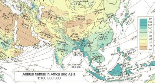
isoline maps
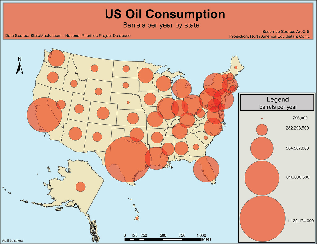
graduated symbols maps
cartogram
dot
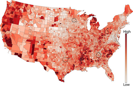
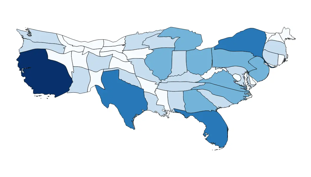
choropleth