Geo 4 - Depth Study 2
1/26
There's no tags or description
Looks like no tags are added yet.
Name | Mastery | Learn | Test | Matching | Spaced |
|---|
No study sessions yet.
27 Terms
Vision Zero Action Plan Overview
aims to prevent collisions, serious injury, and fatalities associated with cyclists and pedestrians
Aims to achieve this through combines education, enforcements, and engineering
Examples include expanding bike lanes, and implementing pedestrian priority areas
Vision Zero Action 2015 Plan Example
The 2015 plan designated priority intersections, corridors based on pedestrian killed or seriously injured
After 5 years the had addressed 90% of the priority areas, which led to a 36% drop in pedestrian deaths at these locations
Vision Zero Liveability - Evaluate
Overall Vision Zero has increased liveability through reduced cyclist and pedestrian fatalities, as well as by increasing mobility and quality of life for pedestrians and cyclists in NYC
Improves liveability to an extent however ongoing efforts and initiatives are needed to ensure outcomes continue to improve
Vision Zero Liveability - Factors
Gives New Yorkers, regardless of how they travel access to all boroughs safely and in a multitude of ways
The pedestrian priority areas provide safe routes and improves accessibility, which allows greater mobility regardless of age and experience commuting
Enhances quality of life through enhanced pedestrian and cyclist amenities, including the addition of green spaces
Improves overall health of NYC as it promotes activity which reduces likelihood of cardiovascular issues, and improves sleep and mental health
These positively influence every New Yorker, especially those who do not own a car
NYC DOT Carshare Overview
Aim is to spread cost effective shared mobility options citywide to benefit all New Yorkers
This program beings predictable pricing to user with reliable parking included in the fee
For every 1 carshare vehicle, 4 private vehicles are shed, which is important alongside the growth of ride share programs to keep traffic congestion and pollution to a minimum
NYC DOT Carshare Pilot Example
The pilot program designated 283 parking spaces in facilities and streets for the use of carshare organisations
This ride share pilot program includes ZipCar and Enterprise who gave on demand short term use of vehicles, with insurance and fuel included in the cost
NYC DOT Carshare Sustainability - Evaluate
Overall its somewhat sustainable by reducing costs, improving mobility access, cutting emissions, and freeing space for greener uses.
Its overall impact is limited by many residents still preferring private cars.
Its long-term success depends on increasing user uptake and addressing concerns around convenience and trust.
NYC DOT Carshare Sustainability - Social
Regardless of socio-economic status it provides inclusive transport means
Exposes other demographics to newer technology and educates them on newer ideas in society
NCY DOT Carshare Sustainability - Enviro
Reduces greenhouse gas emission and benefits NYC ecosystem services by limiting soil pollution through leaked fluid
Pilot program had a net reduction of 12,000 metric tonnes of GHG emissions per year
NCY DOT Carshare Sustainability - Econ
Cost effective in the short term due to less insurance, fuel, and parking costs for private cars
The programs include discounts for lower income earners and students making it more affordable, Zipcar = $90/year for 20miles/hr
Less congestion from cars on the road saves time, boosting productivity, benefiting the economy
People can also supplement their income and rent their vehicle to create passive income
Liveability Def
is the quality of space and the built environment
is linked to a range of factors such as the quality of life, health, sense of safety, air quality and mobility.
CBD
multi-cellular, financial district and midtown
characterised by agglomerations, intense land use competition, and easy access due to the converging of transport functions
this results in a densely packed CBD, with vertical zonation in high rise buildings, and high land values
IMZ
semi-intensive mixed land uses with dissimilar functions
land use competition and invasion/succession accounts for the constant changes in functions
Mixture occurs when some of the older functions are pushed out and replaced with new ones
SPZ
Scattered throughout NYC and align with key transport routes and serve many global cultural and recreational purposes
once established, inertia limits the movement or change in function due to their significance, investments, and planning protections.
RUF
Include areas such as Westcheser and Long Island
This area has no distinct boundaries due to the constant invasion and succession of urban land uses as they push out
ERZ
In Manhattan high density residential zones border central park along the waterfront has high rise apartments dominate
Renewal of this are has encouraged this growth and results in high land values
Lower density growth is seen in other boroughs where land use competition is not as fierce
IZ
16 main industrial zones, including Hunts Points, North Shore, and Brooklyn Navy Yard
Centrifugal forces have driven this zone away from the city’s core
Increased land competition has significantly impacted the size and location of industrial zones
Along the river land values are less and the extensive space required is easily accessible
NYC Demographic - Age
median age of 36.9 years, highlighting NYC ageing population due longer life expectancies and lower fertility rates
Accounted for by NYC’s high economic development and access to education/healthcare opportunities
64% of the population are between 18-64
Manhattan has highest 18-64 group (working age) highlighting work-oriented nature of those in theCBD
Outer borough have highest proportion of families and children, indicating more residential and family oriented lifestyles compared to Manhattan
Brooklyn having 22.7% of the under 18 population
Staten Island’s population is only 5.85 of the total yet have 17% of the over 65 population
NYC Demographic - Gender
Females are 52.3% of the population and males 47.7%
women significantly outnumber men in the the over 65 group, particularly in Staten Island the Bronx, higher female life expectancy
The gender ratio between the boroughs is similar, females on average being around 52% of the population across the board
NYC Demographic - Socio-economic
New York City's boroughs by median household income on average - Manhattan, Staten Island, Brooklyn, Queens, and The Bronx
Distinct income zones are apparent in New York with the inner zone - rich commute by foot or public transit. The second zone - the poor commute by public transit, and the tree change third zone - where the rich live and drive to commute
Manhattan has the highest per capita income in USA at over $100,000/capita
The wealth distribution is quite unequal with the wealthiest 20% earning 35-40x more than the poorest 20% (Manhattan)
NYC Demographic - Cultural
The white population accounts for 30.9%, Hispanic 28.3%, Black 20.2%, and Asian 15.6%, hasn’t dramatically changed over the 20th century
Staten Island is 56.1% white, due to isolated area which is undesirable to immigrants
The Bronx however is dominated by Hispanics 54.8%, and Black 28.5% populations most likely due to ethnic clustering
Scope of Transport Challenge
57% of all New Yorkers see transport as a significant challenge
1.6 million people commute to NYC daily, with 39% using the subway, and 23% using private vehicles
The NY DOT, Metropolitan Transit Authority, and NYC Transit Authority are three government bodies who work collaboratively to manage the city’s extensive transport systems
Cause of Transport Challenge
Ageing Infrastructure
Constant use of transport means with limited servicing makes it difficult for efficient transport
Of the 30,500km of roads in NYC, 40% of these are deemed in poor conditions, increased by 16% from 2000
ageing infrastructure has meant that in 2021only 65% of weekday trains meet their destinations on time
Delivery Vehicles
the surge in online retail has increased the number of delivery vehicles throughout NYC
they often double park blocking main roads which causes congestion and increases gridlock
Influx of Visitors
millions of people visit NYC daily which places pressures on all existing transport infrastructure
NYC is the most visited city in the western hemisphere will 66.6 million visitors/year
This adds to the overwhelming stress placed on transport not designed for the large number of people
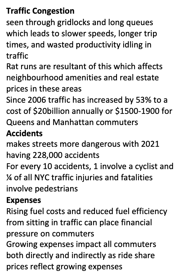
Impacts of Transport Challenge
Site of NYC
Atlantic coastal plain with generally flat, undulating land (0–80 m asl; Todt Hill 125 m)
Natural barriers include nearby Appalachian and Catskill Mountains
Sheltered deep-water harbour with multiple islands (Manhattan, Staten, Long Island)
Vegetation: chestnut, hickory, and oak
Soil: clay and glacial till
Geology: metamorphic schist
Major rivers: Hudson and East River (converging into Upper Bay); smaller rivers: Passaic, Hackensack, Raritan
Built on fault lines - quartz, feldspar, and mica
Situation of NYC
Located along the northeast of the United States
City is located 350km southwest of Boston
City is located 430km northeast of Washington DC
External Morphology
Multi-cellular
5 main boroughs make up the city’s urban border
21.6km in length and covers an area of 70km2