map projections + important terms
1/16
There's no tags or description
Looks like no tags are added yet.
Name | Mastery | Learn | Test | Matching | Spaced | Call with Kai |
|---|
No analytics yet
Send a link to your students to track their progress
17 Terms
choropleth
choropleth map is good to show density but not distribution
a dot map is good to show distribution but n
is good to show distribution but not density. Mcdonalds in USA
isoline map
Good for showing temperature but hard to read without color. A map that connects places of a particular value by lines
flow maps
a map that depicts movement through linear symbols
conformal projection
preserves distribution of shape land features but distorts their size
equal area projection
preserves size of land features but distorts their shape
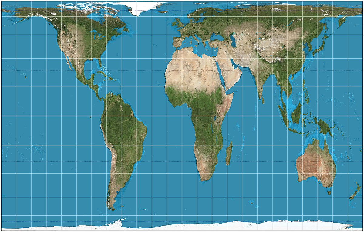
Gall-peters
preserves size and direction but distorts shape
Mercator
preserves shape but distorts size. Ex: africa and greenland
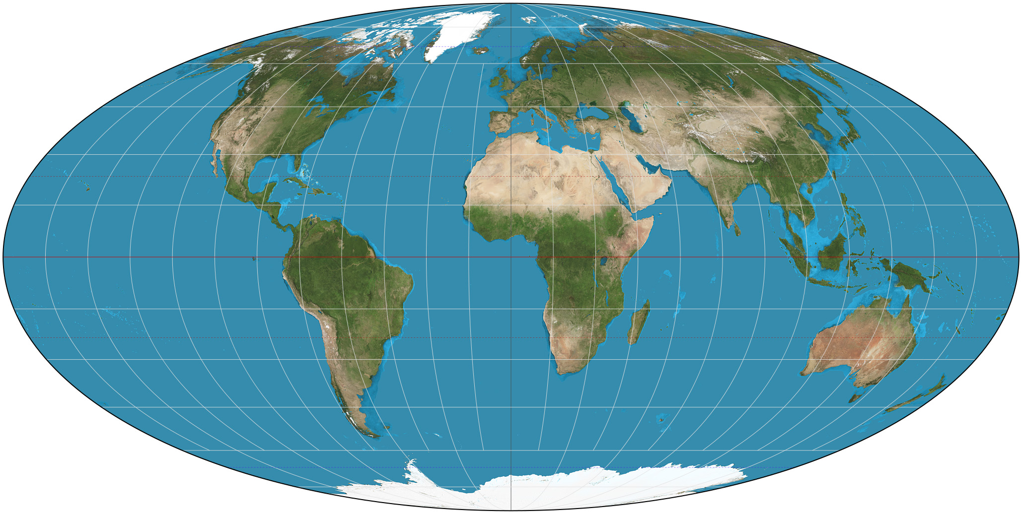
robinson
preserves shape, size but distorts polar areas. weird curves at the end
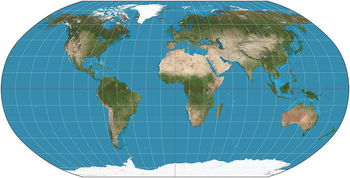
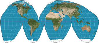
goode’s- homolosine
preserves size and shape but distorts oceans
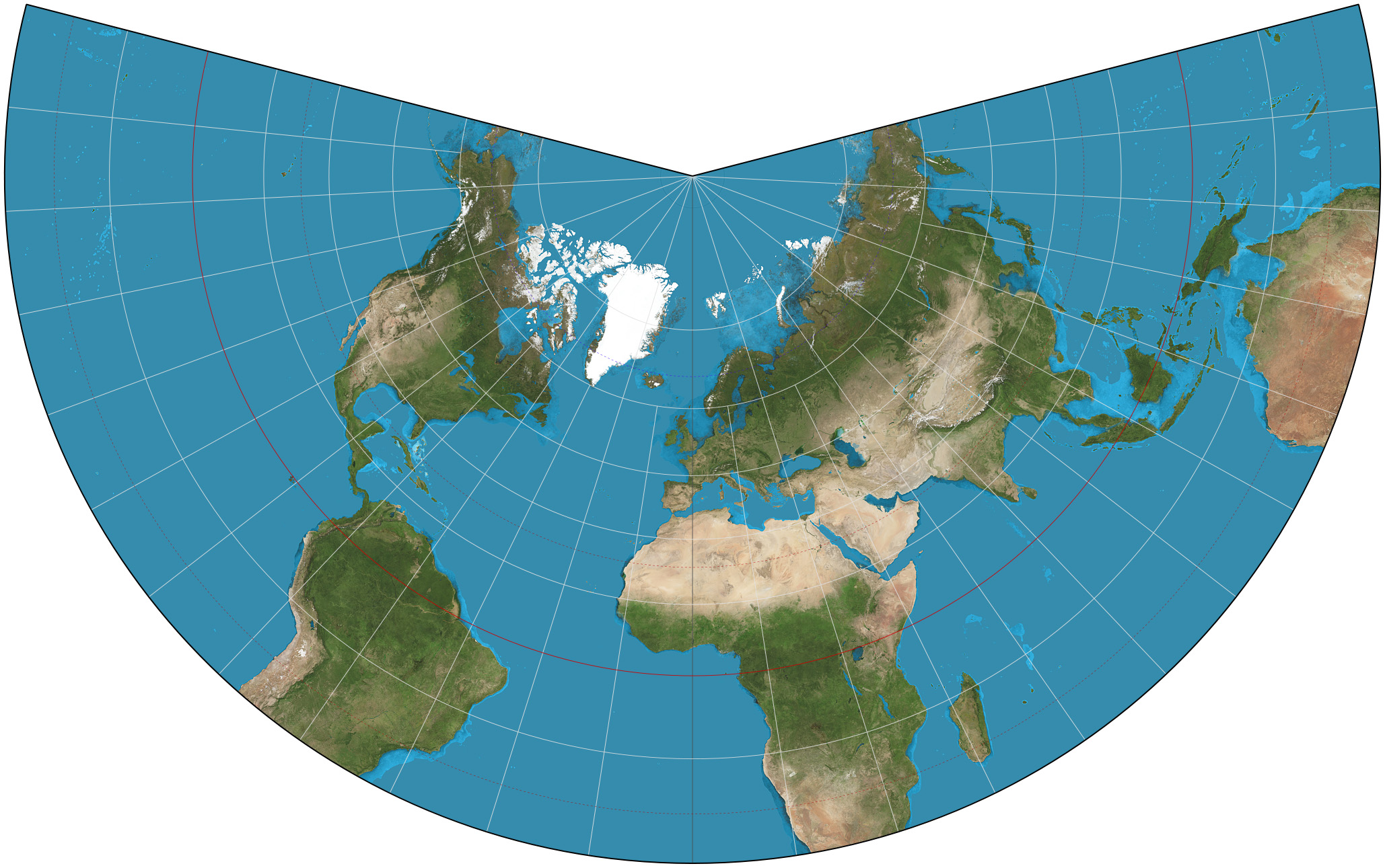
polar azimuthal
preserves direction distorts shape and area. only shows one half of the earth
spatial patterns.
how and where different geographic features occur on the earth’s surface
census
complete count of a population (as of a state)
geospatial
denoting data that is associated with a particular location .
cultural ecology
the geographic study of human-environment interaction
scale
1:2500 is a large scale (close up=more info) BHS is large scale 1:250000 small scale (far away=less info) Missouri is a small scale
region
geographic area with common characteristics and/or patterns of activity