Geo EOYT | Quizlet
1/25
There's no tags or description
Looks like no tags are added yet.
Name | Mastery | Learn | Test | Matching | Spaced |
|---|
No study sessions yet.
26 Terms
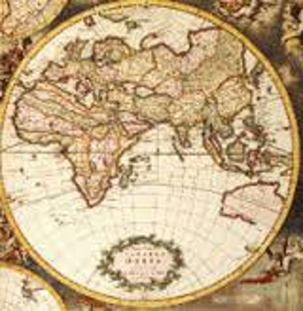
What are maps
maps are a diagramatic representation of an area of land or sea showing features like cities, rivers and roads
what is the function of a map
the function of a map today is visualization, exploration communication and direction. in the past they were used for propoganda, glory, exploration and power
what do maps represent
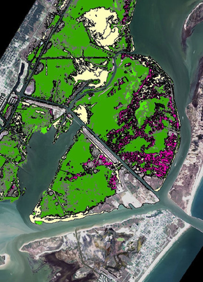
maps are the representation of statistical information. they make it easier to relate data to location and identify geographic trends
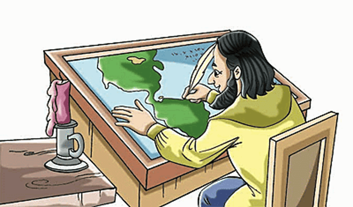
Cartography
is the art of map construction, they create maps for plotting routes, preparing forecasts and city planning
Map features
present info about the world in a simple way to display cultural and physical features like size and distance.
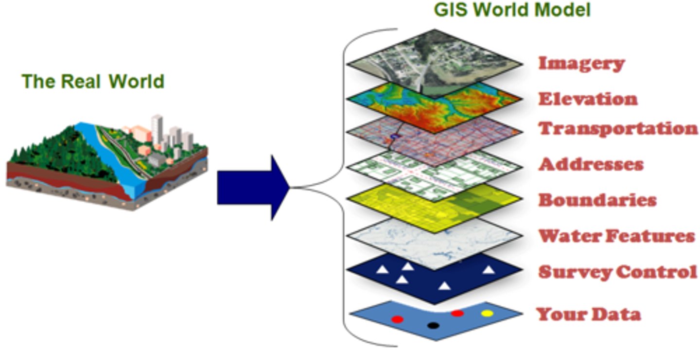
GIS system
is a computer based system designed to capture, store, analyze, manage and present all types of geographical data.
GIS system layers
imagery, elevation, transportation, address, boundaries, water features, survey control, your data
future of cartography
future is hard to predict, as technology improves the tools related to it are bound to aswell
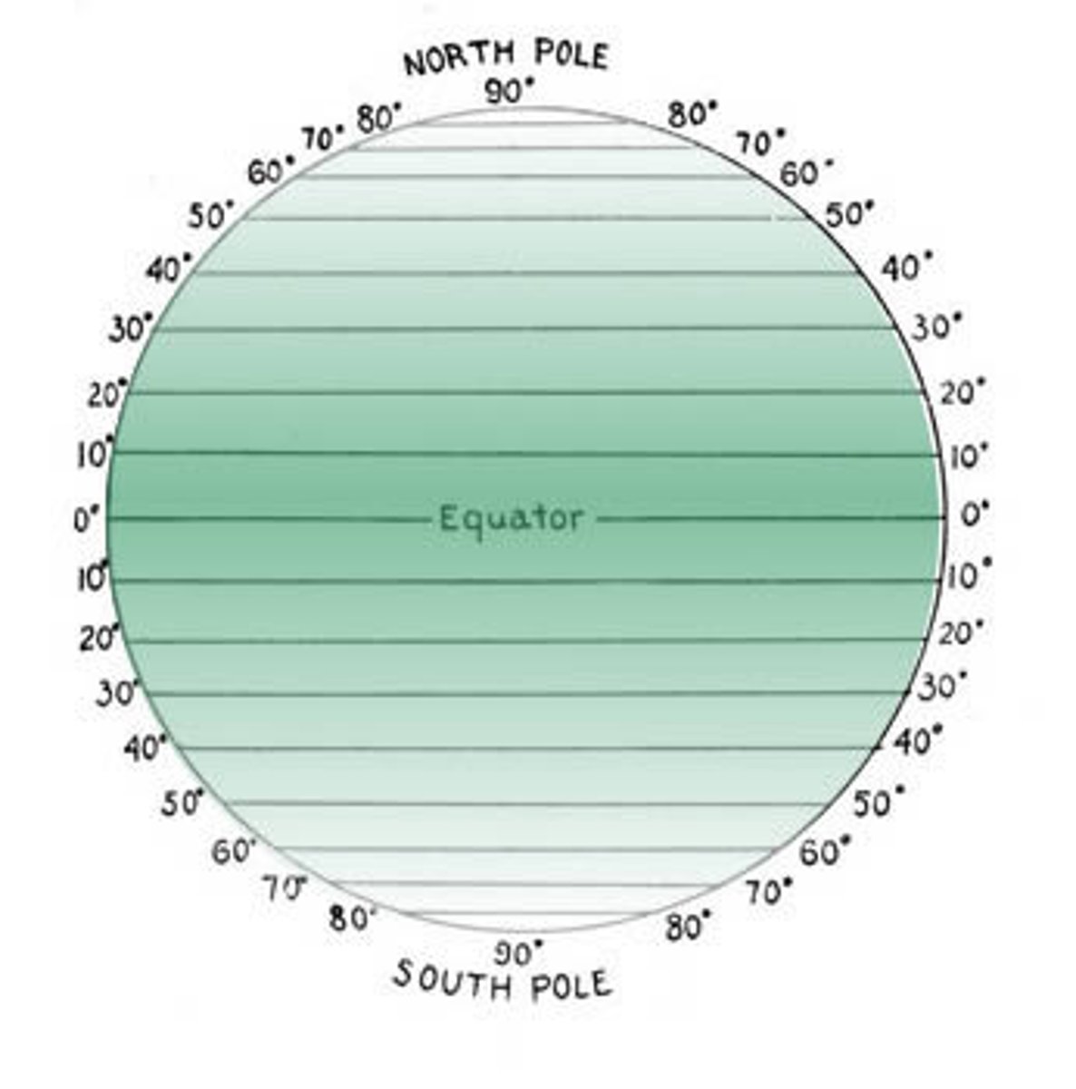
lattitude
the measurement of a location north or south of the equator
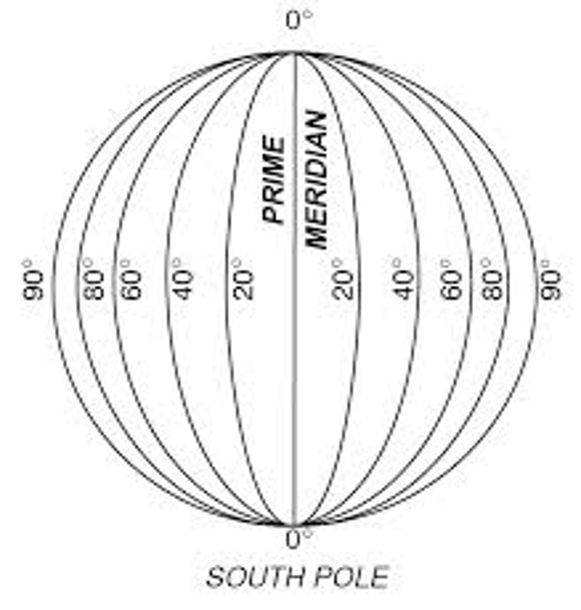
longitude
the measurement of a location west or east of the prime meredian
what are lattitude and longitude used for
in cartography they are a coordinate system used to determine and describe the position of any place on earths surface
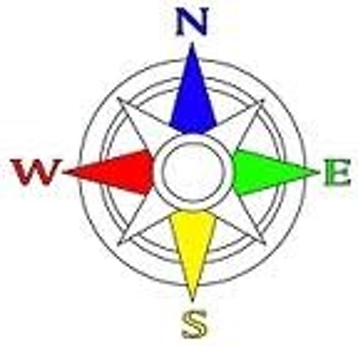
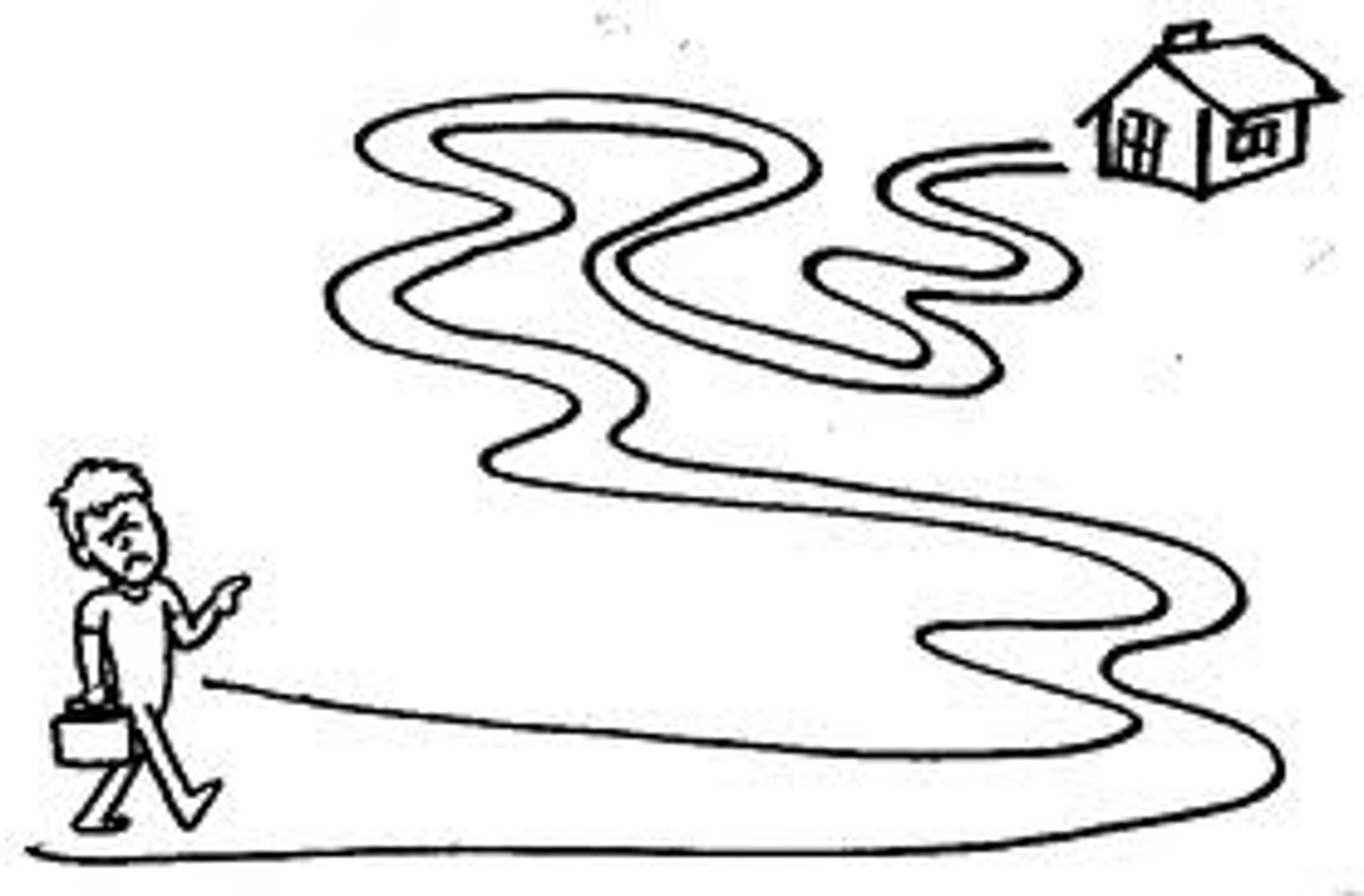
direction
consists of cardinal and intermediate points, tells us which way we are facing or moving on a map or in the real world. essential for navigation
distance
refers to the spatial seperation between 2 or more points
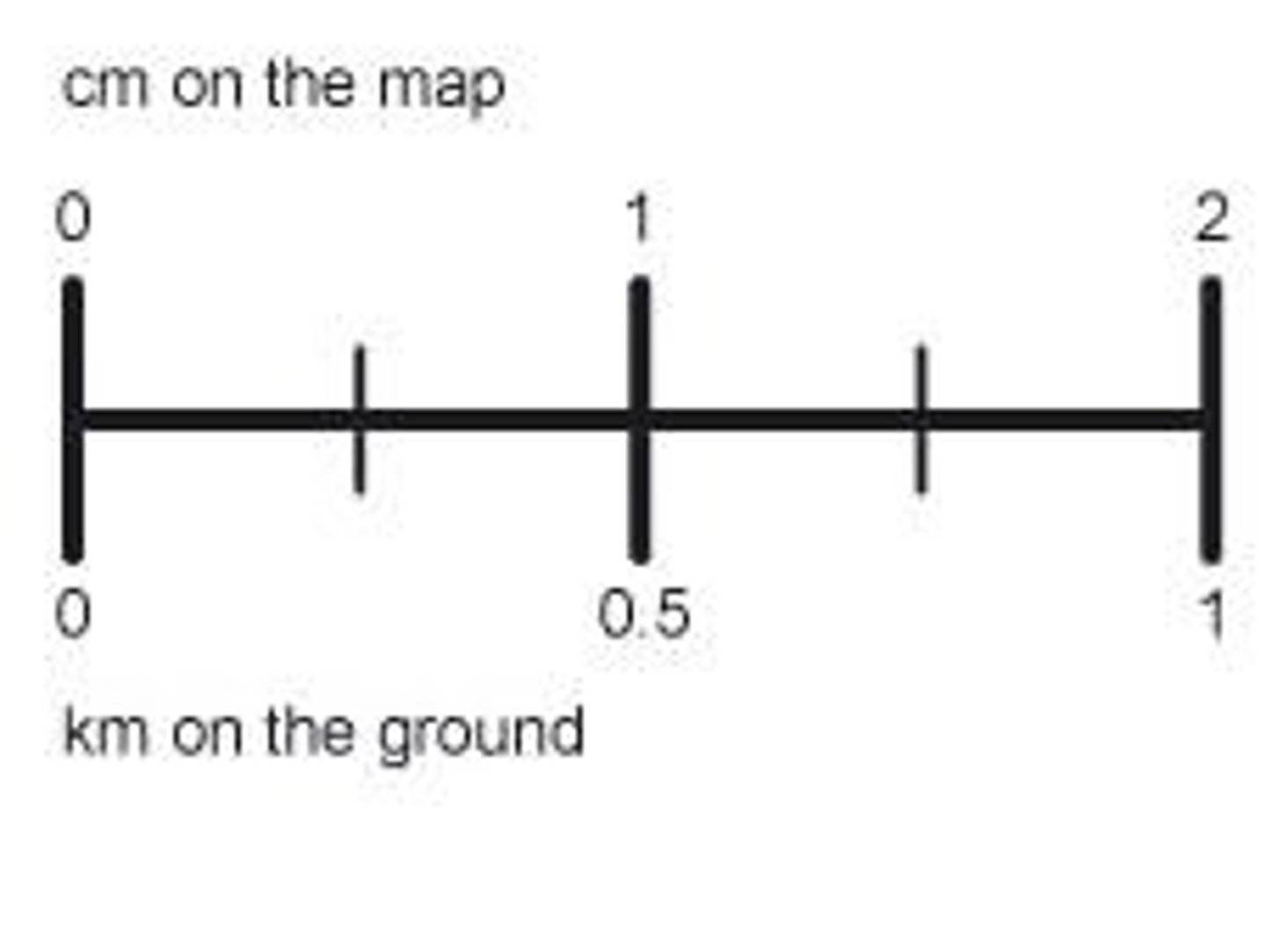
scale
is the relationship between distance on a map or model and the corresponding distance on earths surface
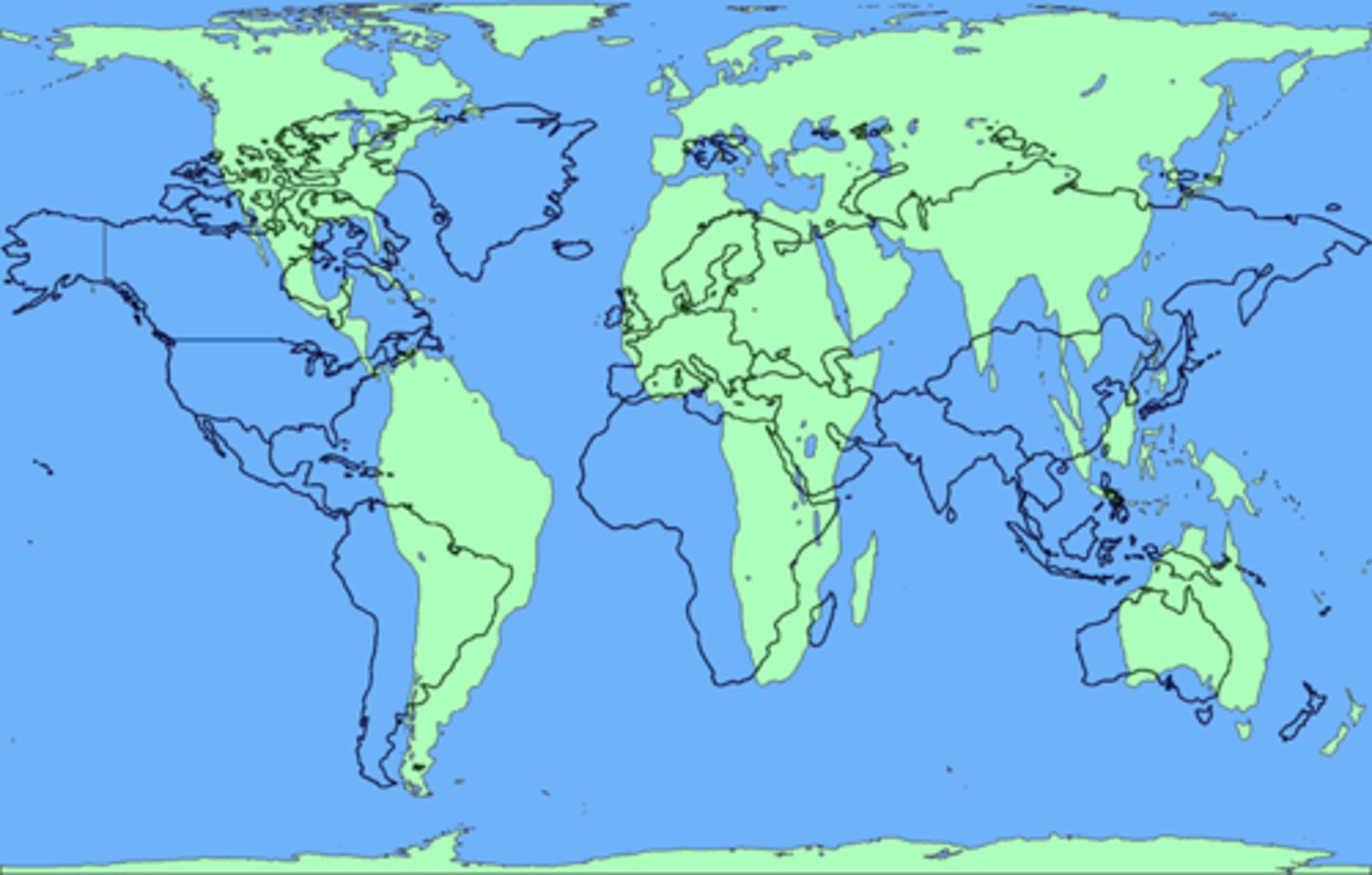
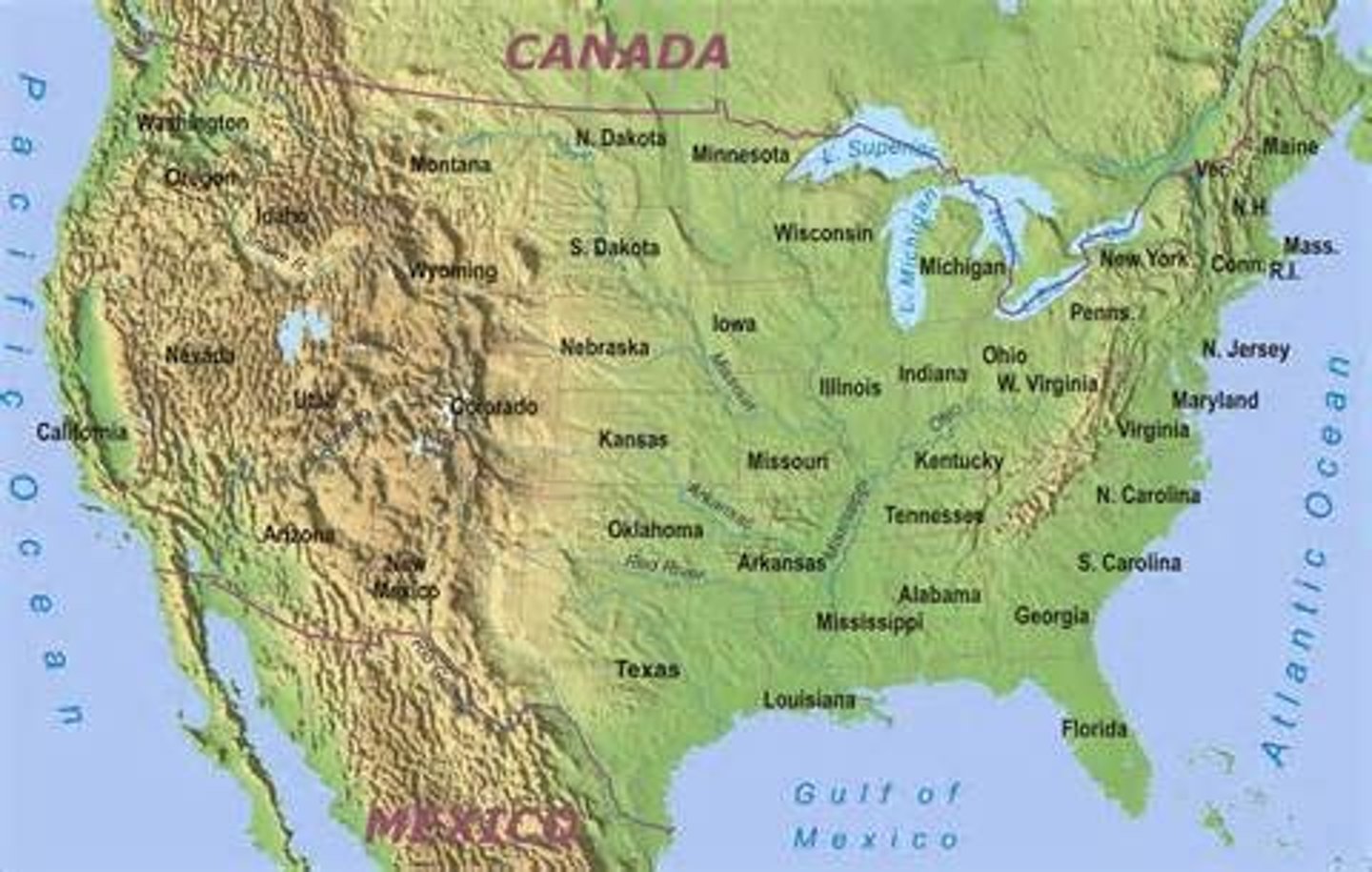
what is a reference map
primarily display natural and human made objects from the geographical environment with an emphasis on location
such as maps found in atlases and topographic maps
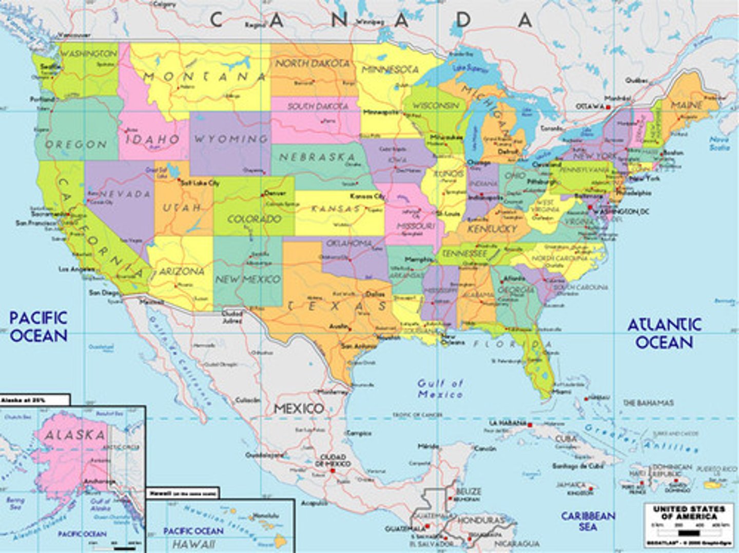
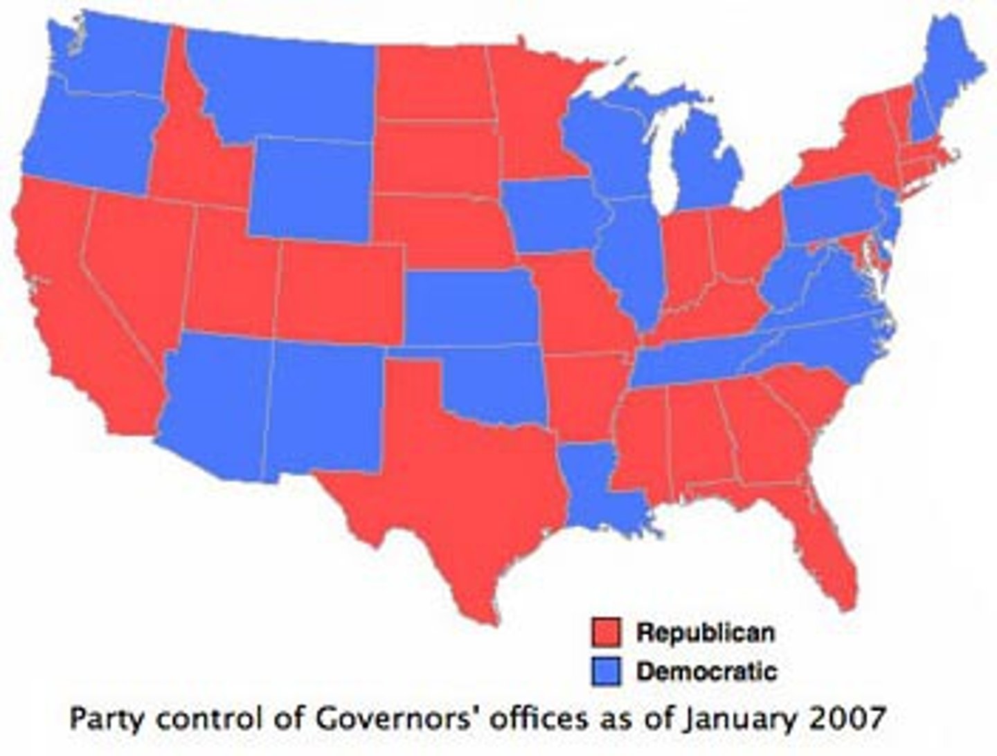
political map (type of reference map)
focuses solely on the state and natural boundaries of a place
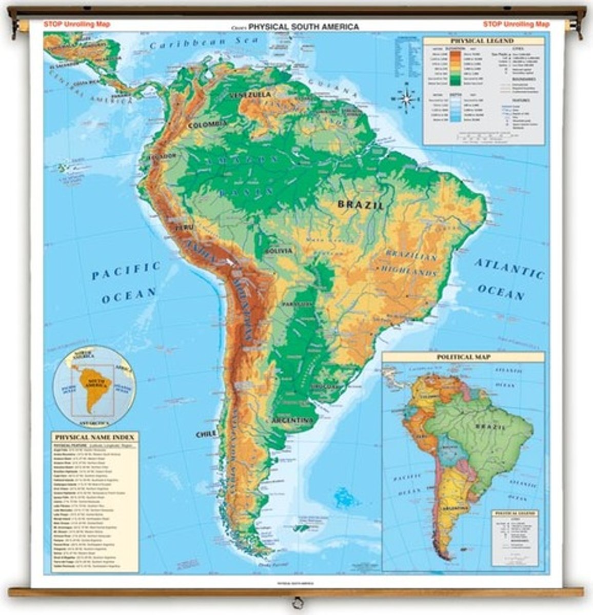
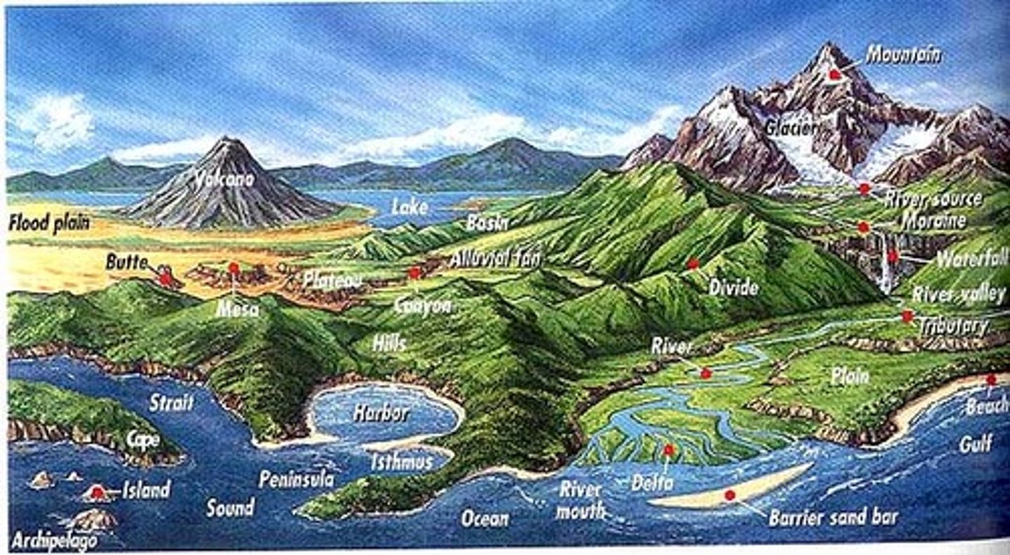
physical map (type of reference map)
shows the physical landscape features of a place. like mountains rivers and lakes
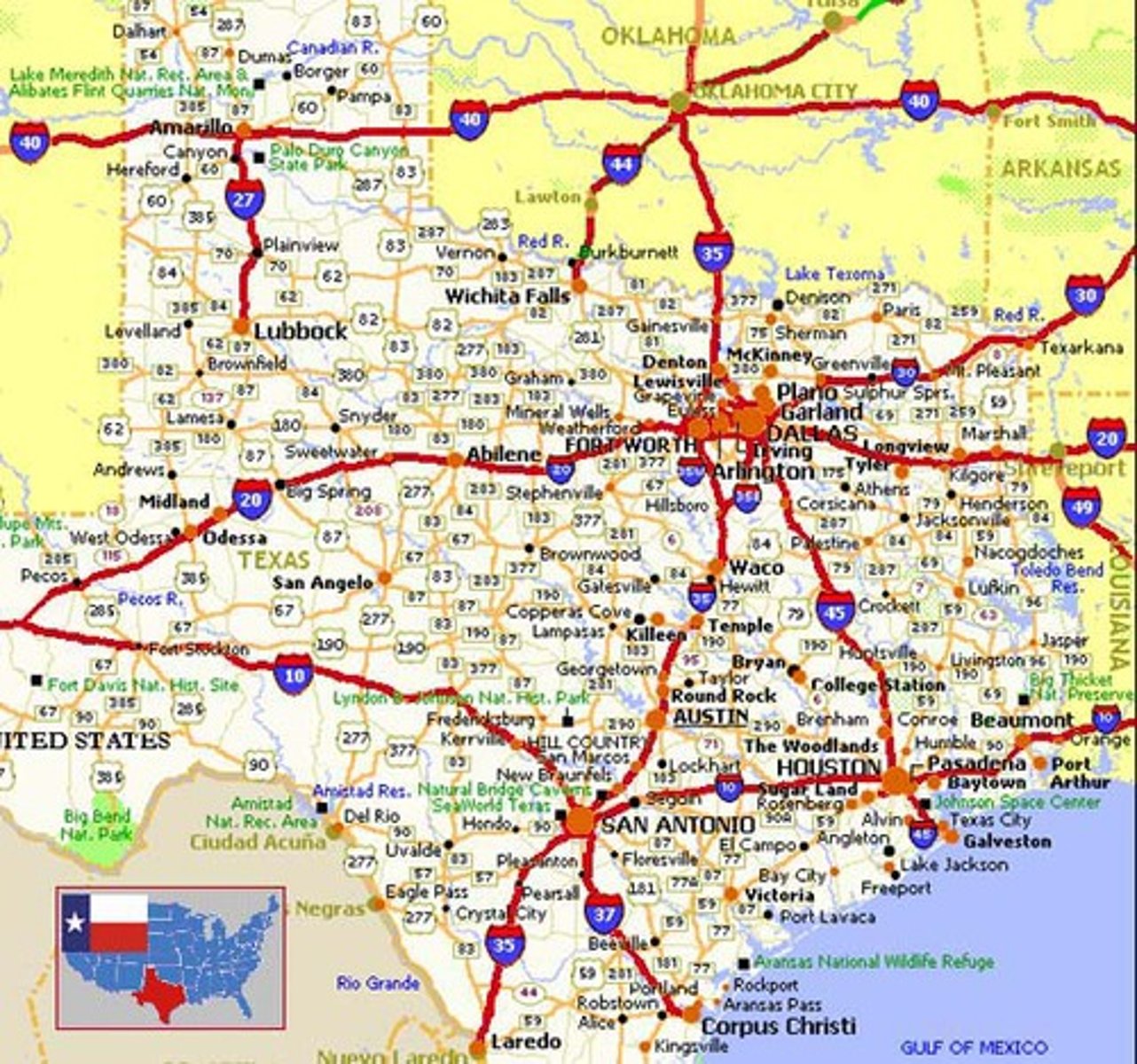
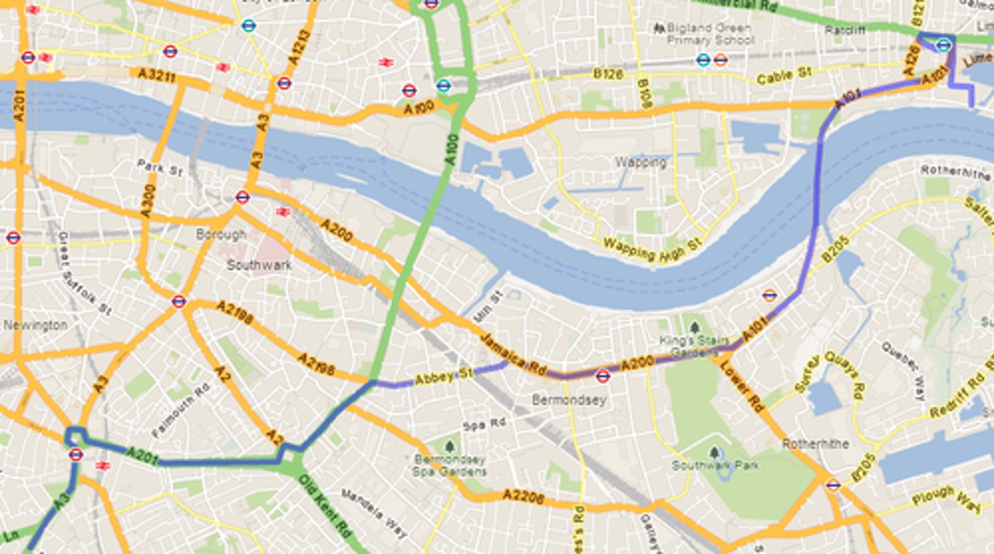
road maps (type of reference map)
these maps show major and minor highways and roads aswell as points of interest such as airports, city locations, parks or monuments
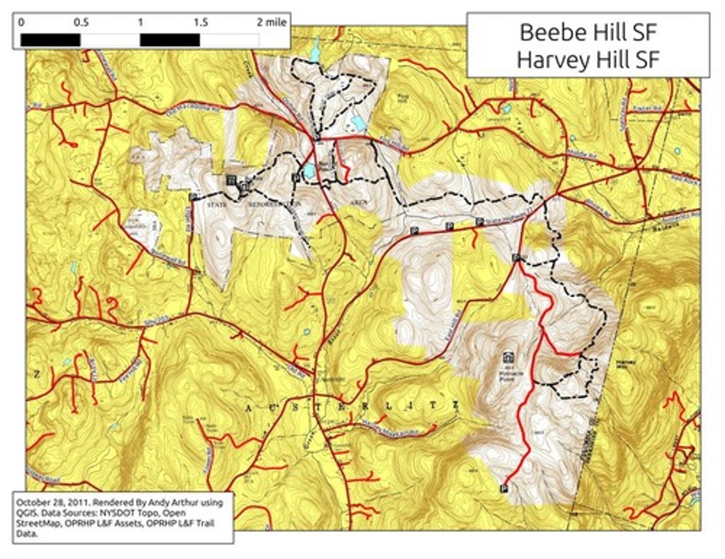
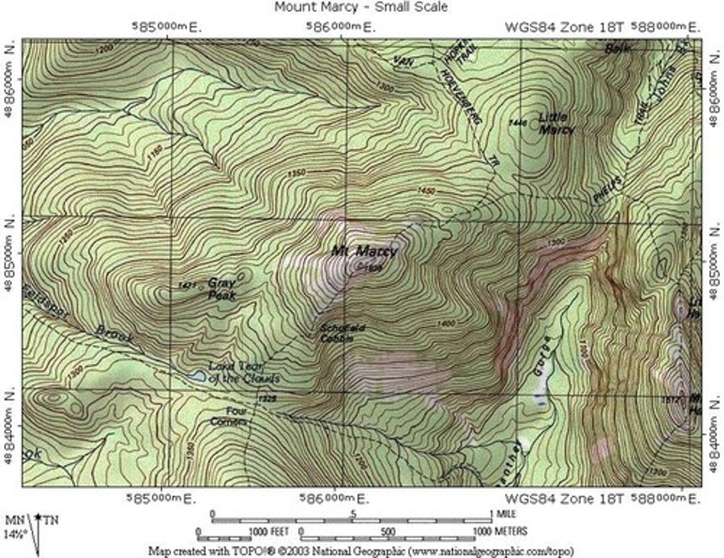
topographic map (type of reference map)
similar to a physical map as it shows different physical landscape features. yet they differ due to their contour lines
what is a thematic map
is a map designed too display info bout a specific topic or theme within a geographical area
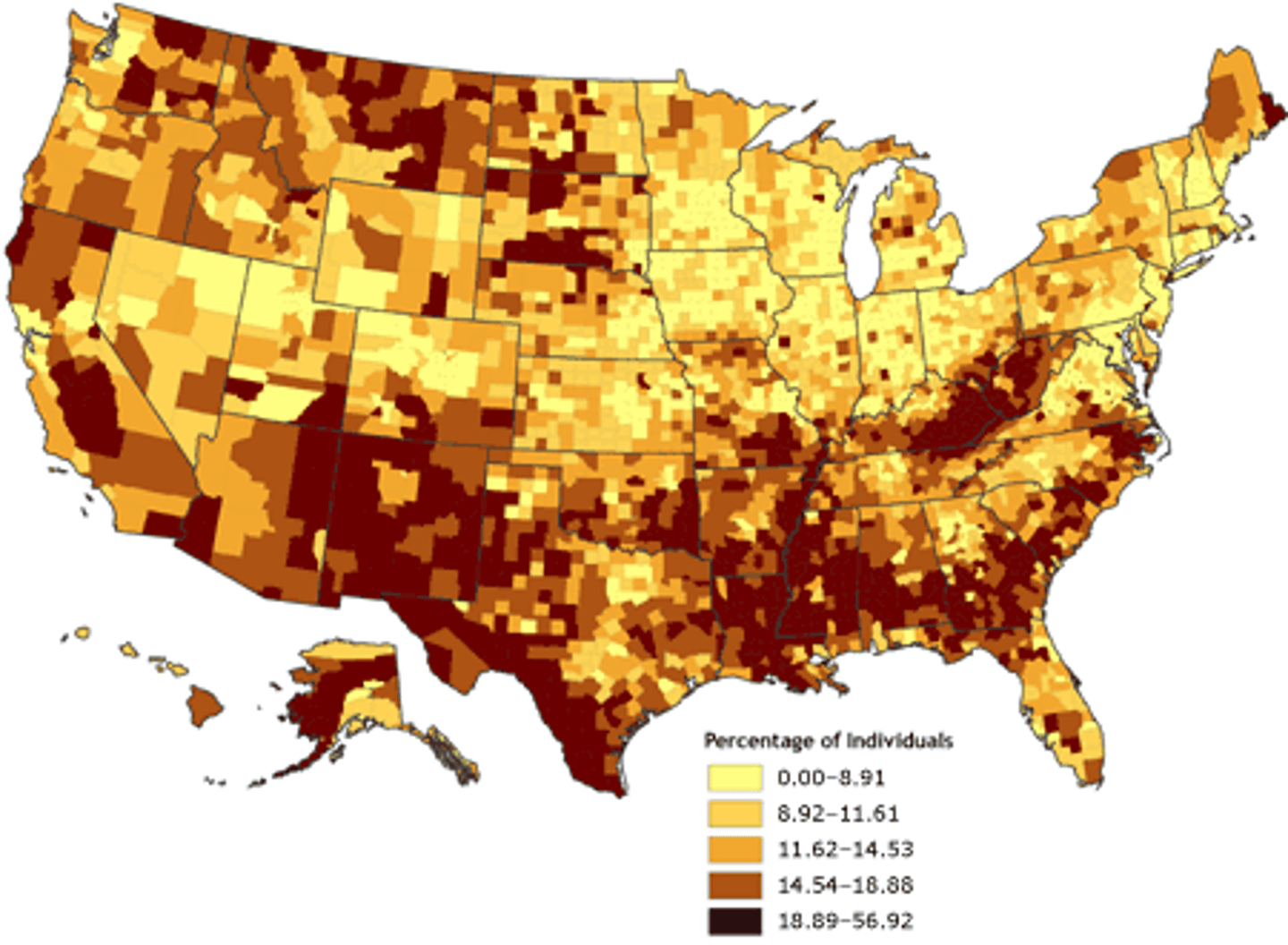
cloropleth map (type of thematic map)
map that is shaded according to a range of values presented in a key, used to represent statistical data
isoline map (type of thematic map)
a map that uses contour lines to represent points of an equal value like a elevation or isobars map
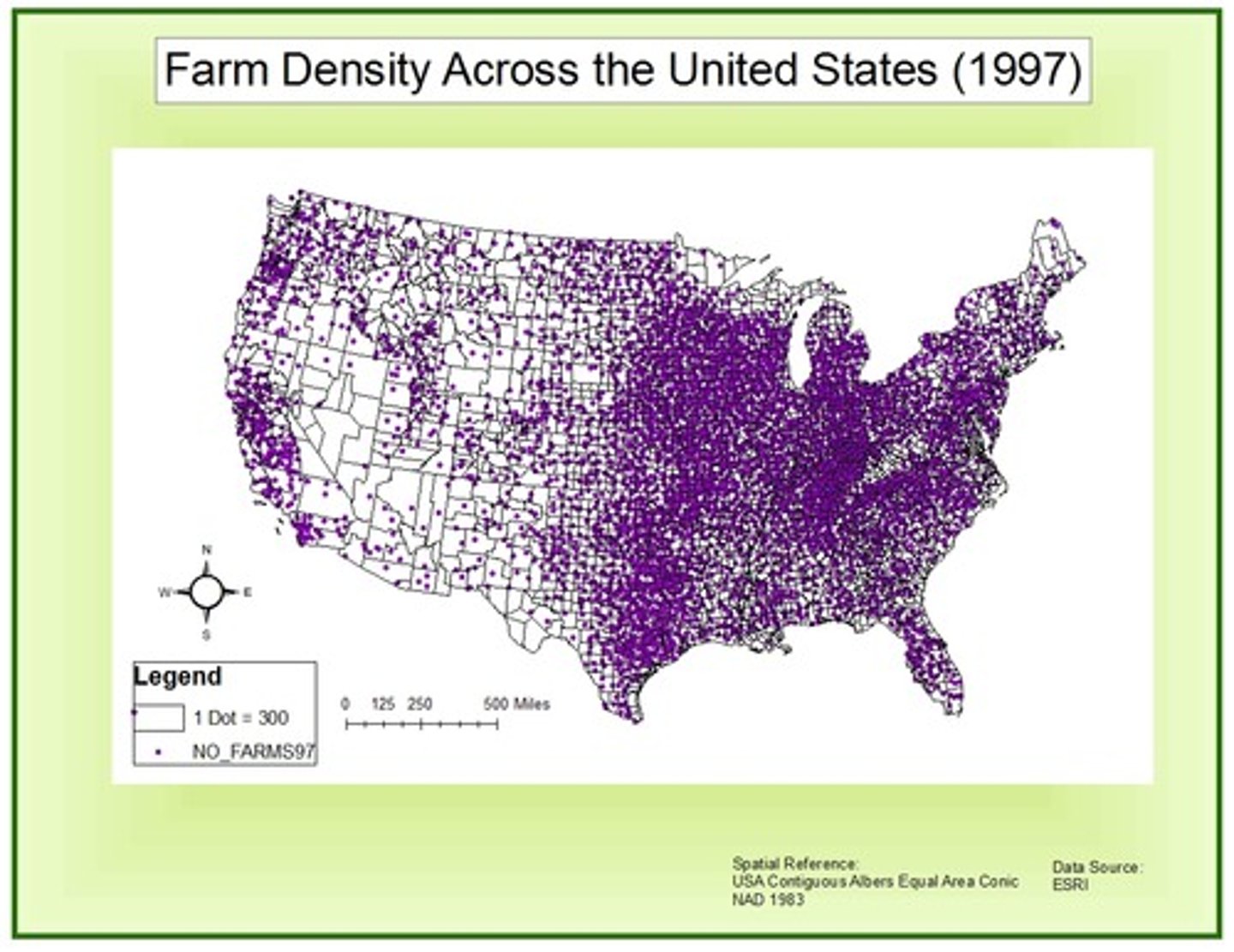
dot map (type of thematic map)
type of thematic map that uses dots to represent the geographical distribution of a phenominon, represents location and distribution
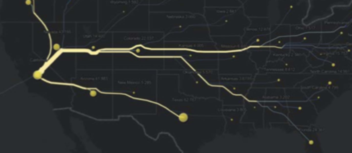
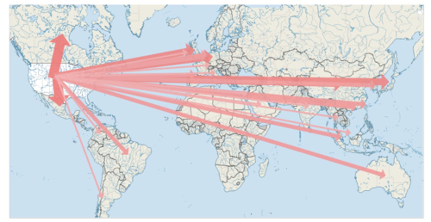
radial flow map (type of thematic map)
lines radiate from an origin point to a single or multiple destination nodes, each hub links the movement of a phenomenon with a directional flow line
network flow map (type of thematic map)
shows movement along an established network, usually based on transportation or communication inter connectivity
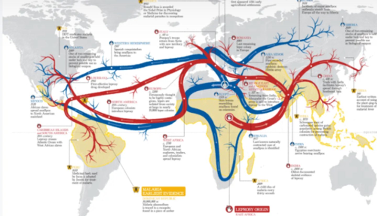
distributive flow map (type of thematic map)
these flow maps branch off into their own destination. it is not the necessary route being traveled, rather an abstract representation of how the info travels from an origin to multiple destinations