Earth Science Geography Vocab Review: Key Terms & Definitions
1/17
There's no tags or description
Looks like no tags are added yet.
Name | Mastery | Learn | Test | Matching | Spaced |
|---|
No study sessions yet.
18 Terms
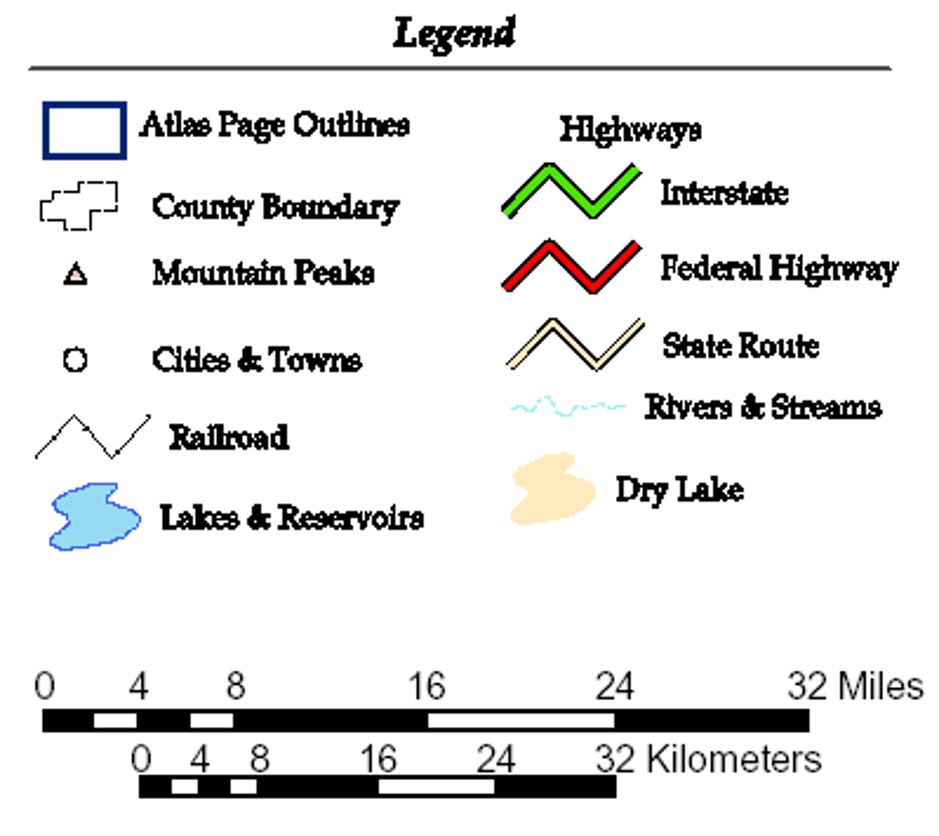
legend (key)
explains the meaning of the symbols on the map
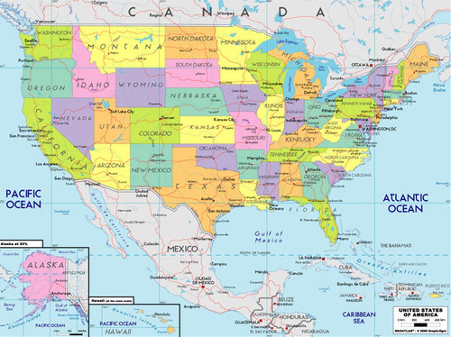
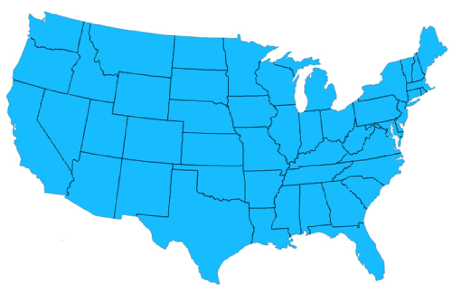
political map
A map that shows man-made features such as boundaries, countries, and cities.
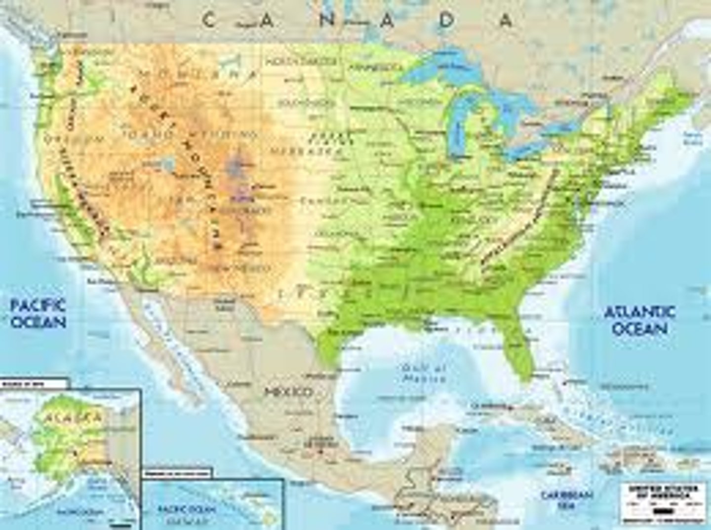
physical map
a map that shows natural landforms and waterways on Earth's surface
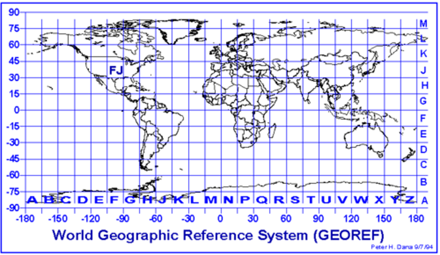
geographic grid
the intersecting pattern formed by the lines of latitude and longitude
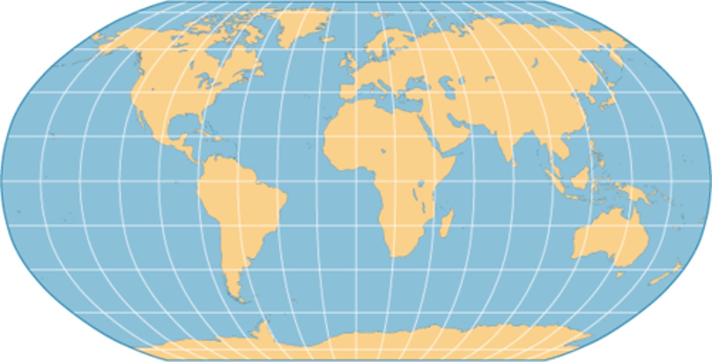
projection
The system used to transfer locations from Earth's surface to a flat map.
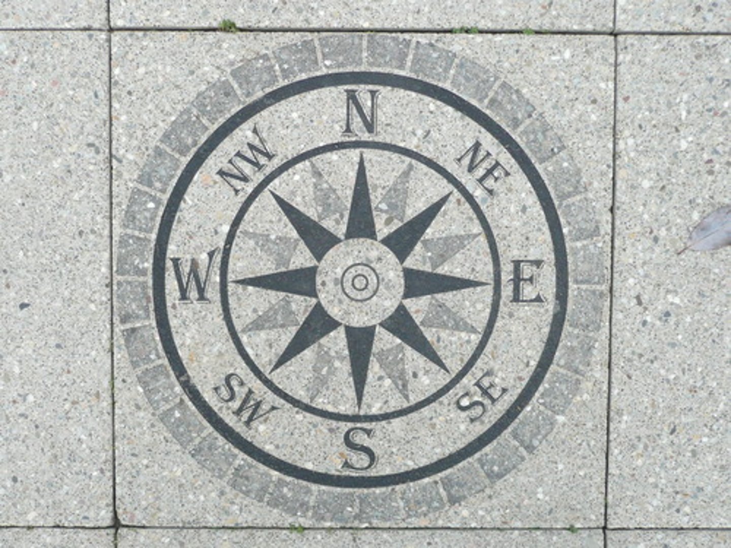
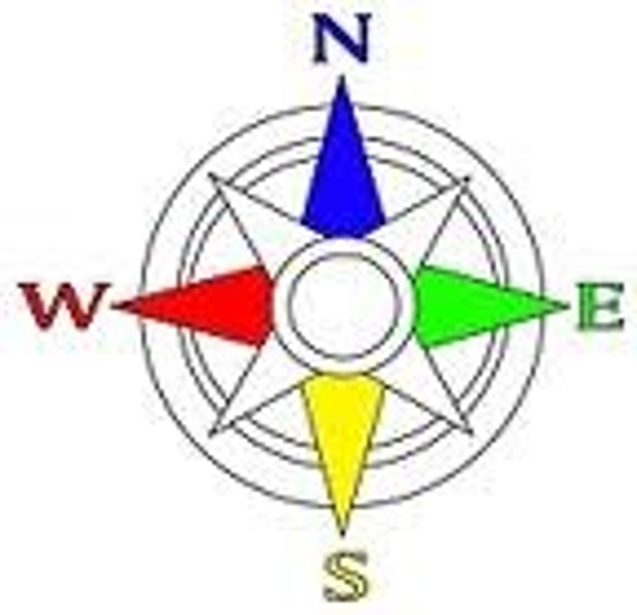
cardinal directions
North, South, East, West
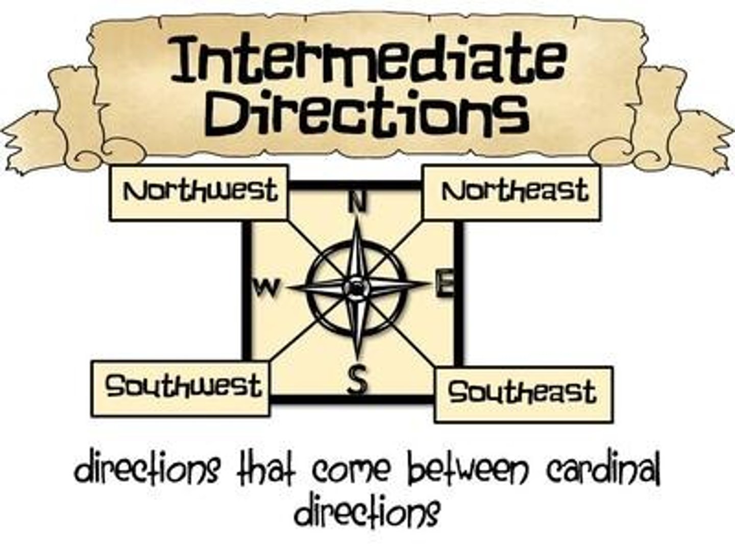
intermediate directions
Northeast, Northwest, Southeast, Southwest
meridians (lines of longitude)
imaginary lines on Earth that run between the North and South Poles
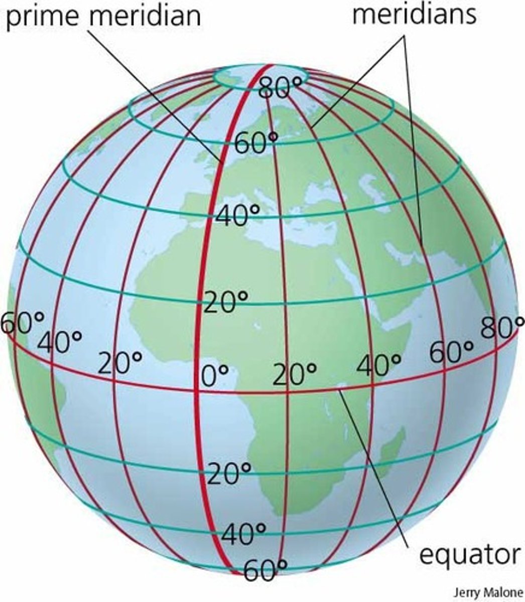
parallels (lines of latitude)
imaginary lines on Earth that run parallel to the equator
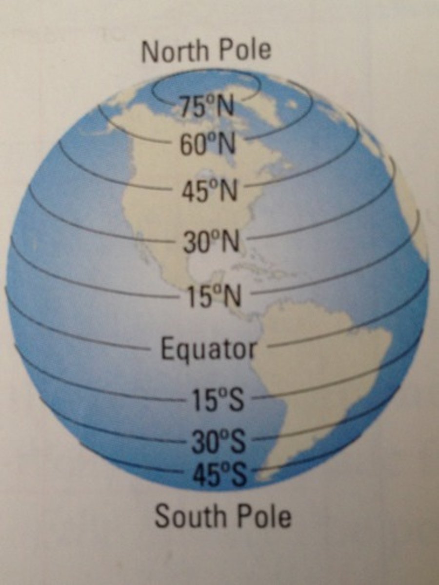
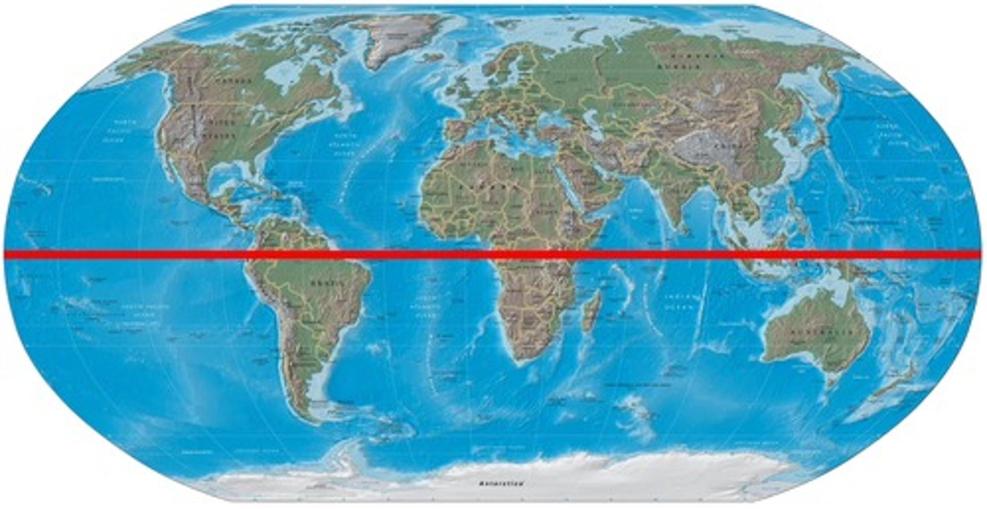
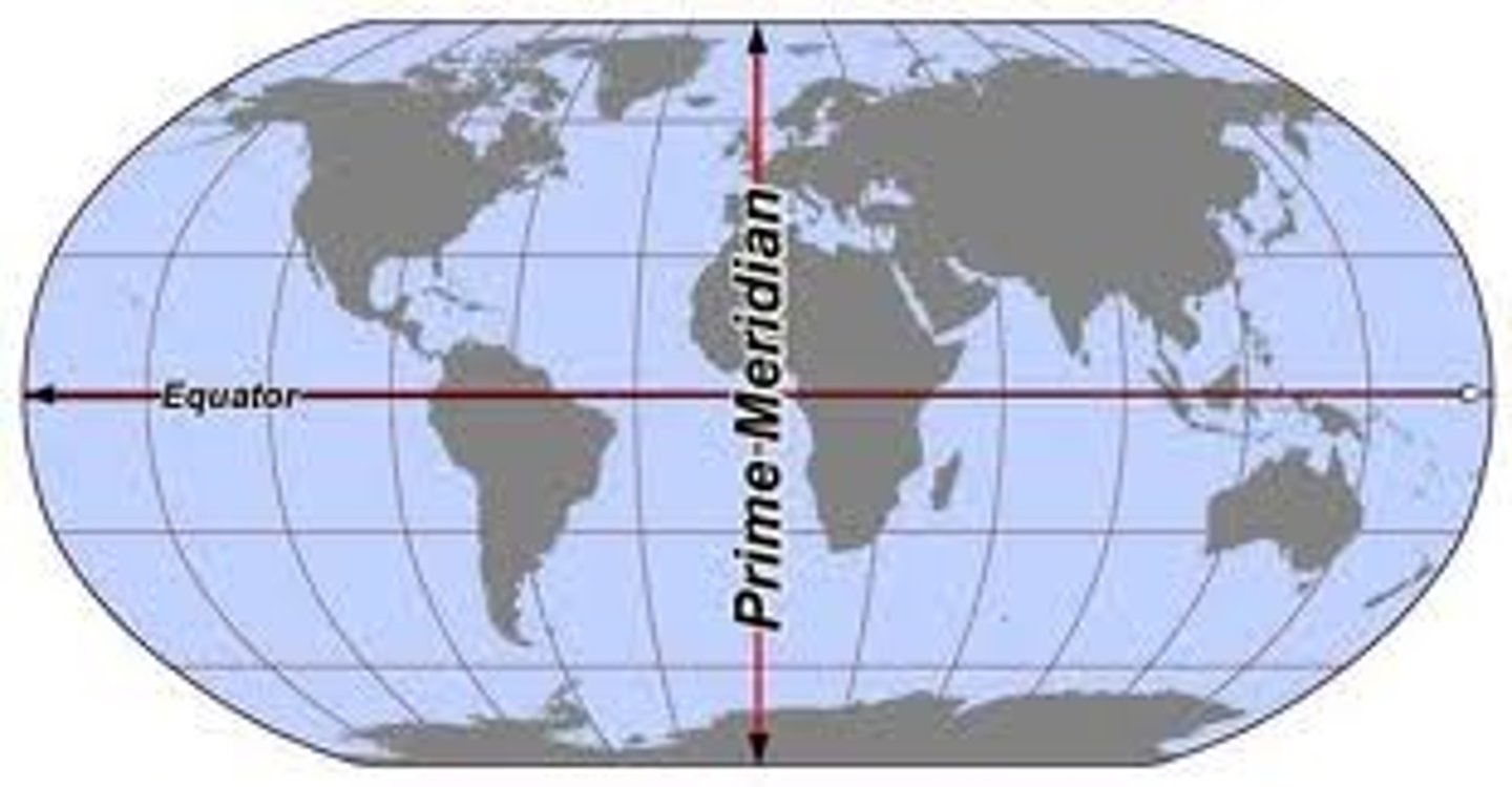
equator
An imaginary circle around the middle of the earth, halfway between the North Pole and the South Pole; 0 degrees latitude
Prime Meridian
0 degrees longitude; an imaginary line that runs from the North Pole to the South Pole
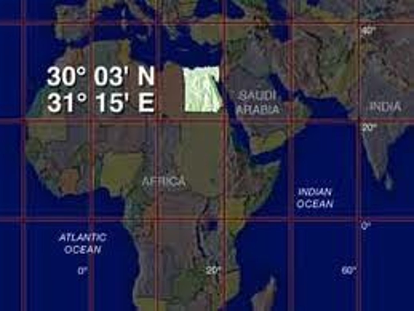
coordinates
the latitude and longitude address of a place on a map
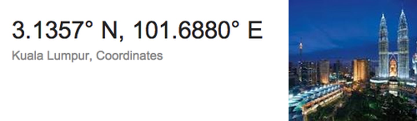
absolute location
Exact location of a place on the earth described by grid coordinates (latitude and longitude)
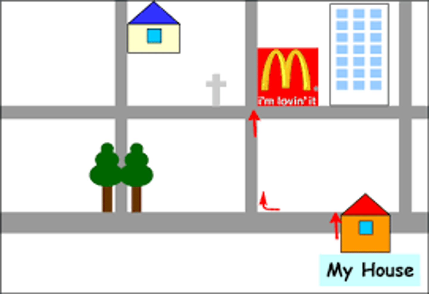
relative location
where a place is located in relation to another place
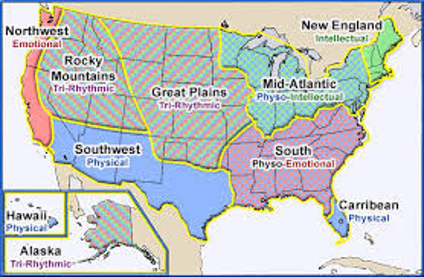
region
an area of Earth distinguished by a distinctive combination of cultural and physical features
cartographer
mapmaker
contiguous
sharing an edge or boundary; touching
compass rose
A tool on a map showing cardinal (N,E,S,W) and intermediate (NE,SE,NW,SW) directions.