APHG Unit One
1/23
There's no tags or description
Looks like no tags are added yet.
Name | Mastery | Learn | Test | Matching | Spaced |
|---|
No study sessions yet.
24 Terms
Political Maps
shows political units
Physical map
shows natural features
Road map
shows highways and rail lines
Thematic Maps
communicate information about a place - spatial aspects
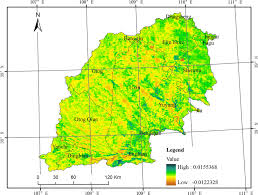
Choropleth
uses various colors, shades, patterns to show the location and distribution of spatial data
Dot density
each dot (or other symbol) represents a specified quantity of a spatial characteristic
Graduated/Proportional Symbol
use symbols of various sizes to indicate different amount of a variable
Isoline map
use lines that connect points of equal value to depict variations in the data across space
Cartogram
the size of countries are shown according to a specific varaible
Absolute location
exact, precise. Uses latitude and longittude
Relative location
relationship to another place
Absolute distance
miles, km, feet
Relative distance
measure in time, technology has reduced it
Absolute direction
cardinal directions
relative direction
“turn left at the next light”
Density
the number of something in a designated area
dispersed

clustered

distribution
the way a phenomenon is spread out over an area. Typically described as clustered or dispersed
patterns
linear, geometric, random
linear