Geography
1/41
Earn XP
Name | Mastery | Learn | Test | Matching | Spaced |
|---|
No study sessions yet.
42 Terms
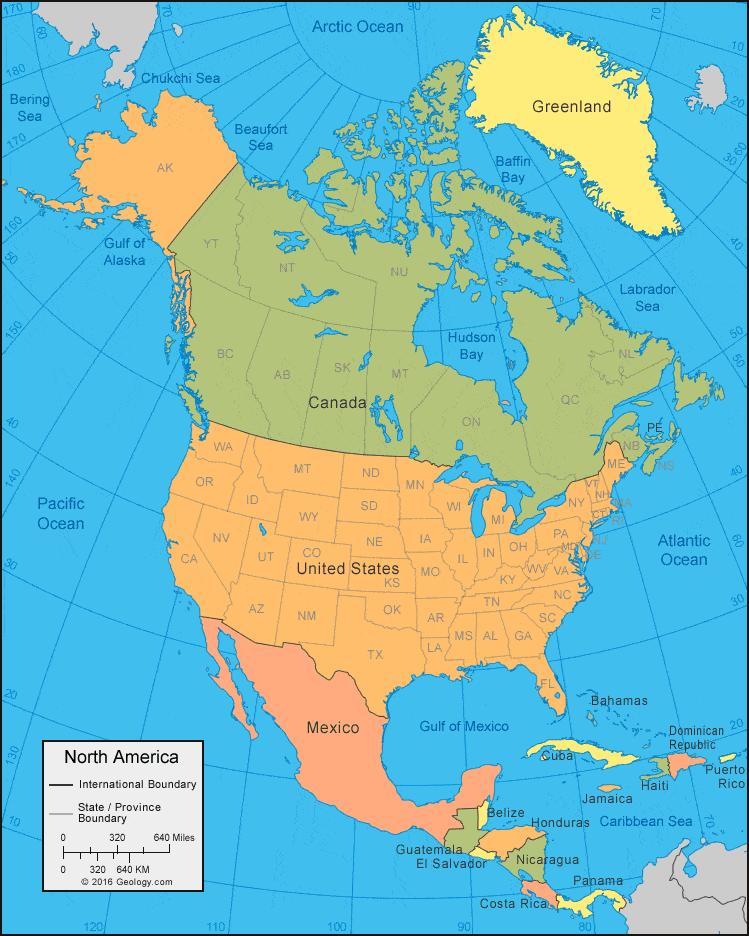
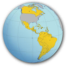
North America
The continent that includes the U.S.

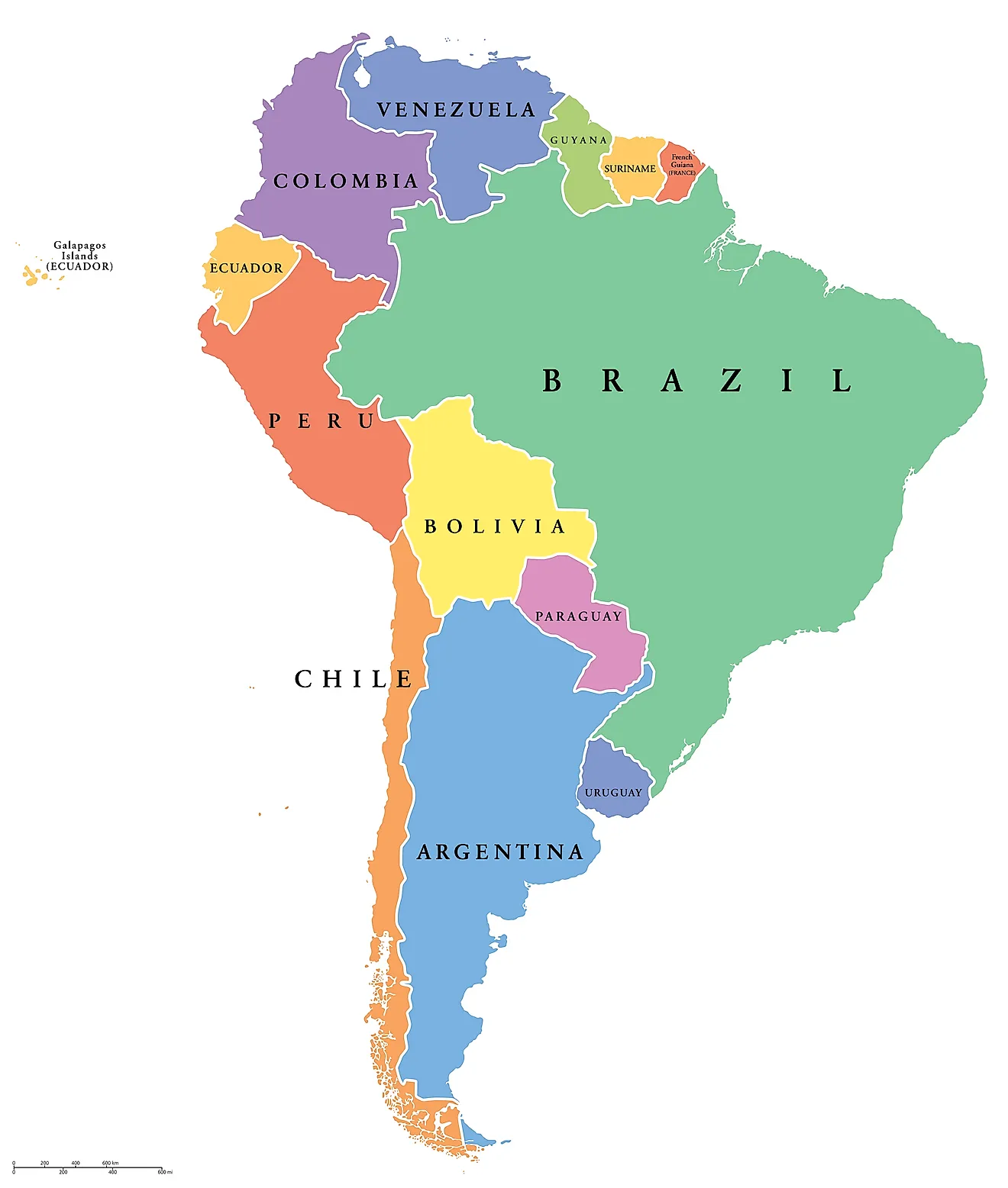
South America
The continent that includes Brazil.


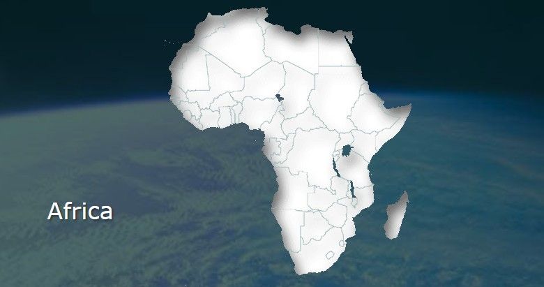
Africa
East or across the Atlantic Ocean from N. and S. America.

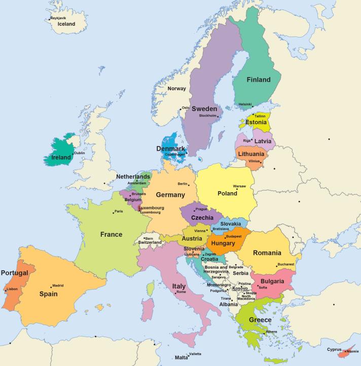
Europe
Above Africa and east of Canada.

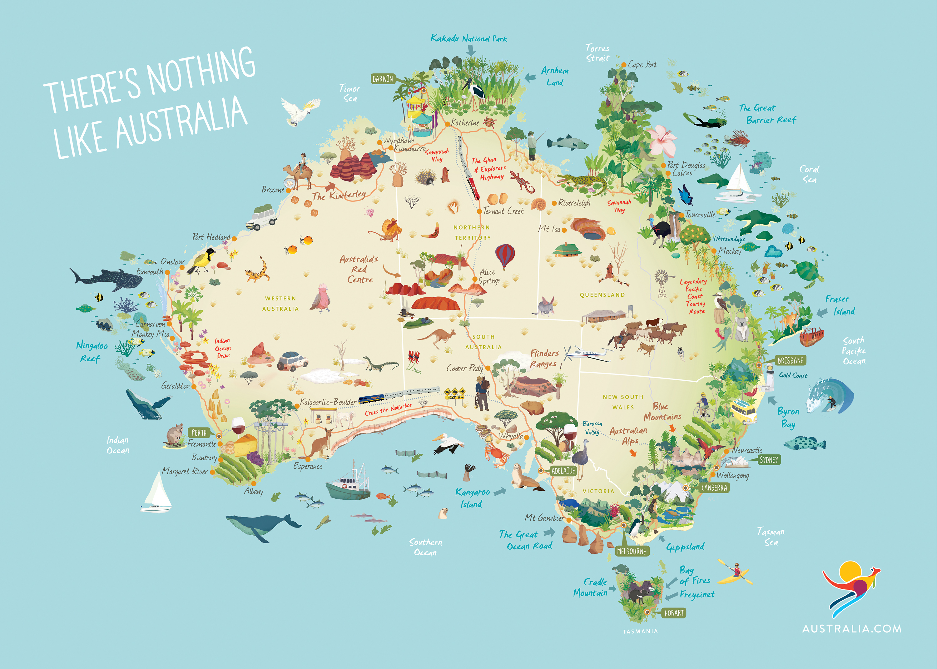
Australia
The small Continet under Asia and above Antarctica.

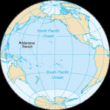
Pacific Ocean
The biggest Ocean that is wrapped around from the America’s to Asia
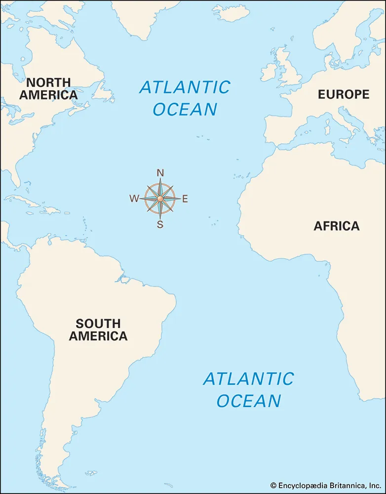
Atlantic Ocean
The Ocean in between Africa, Europe, and the America’s.


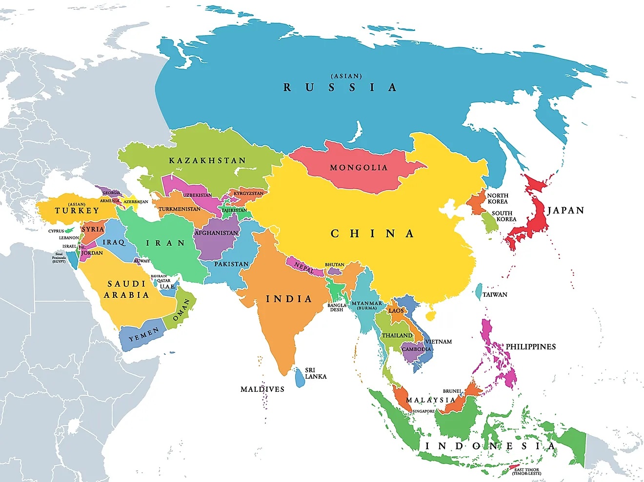
Asia
The big Continet that is east if Europe and North of Africa.
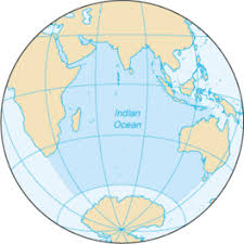
Indian Ocean
South of Asia beside Africa

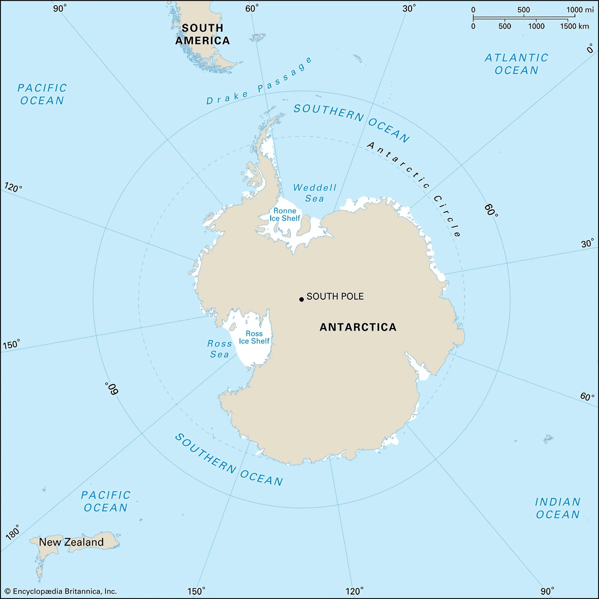
Southern Ocean
The ocean that is just above Antarctica


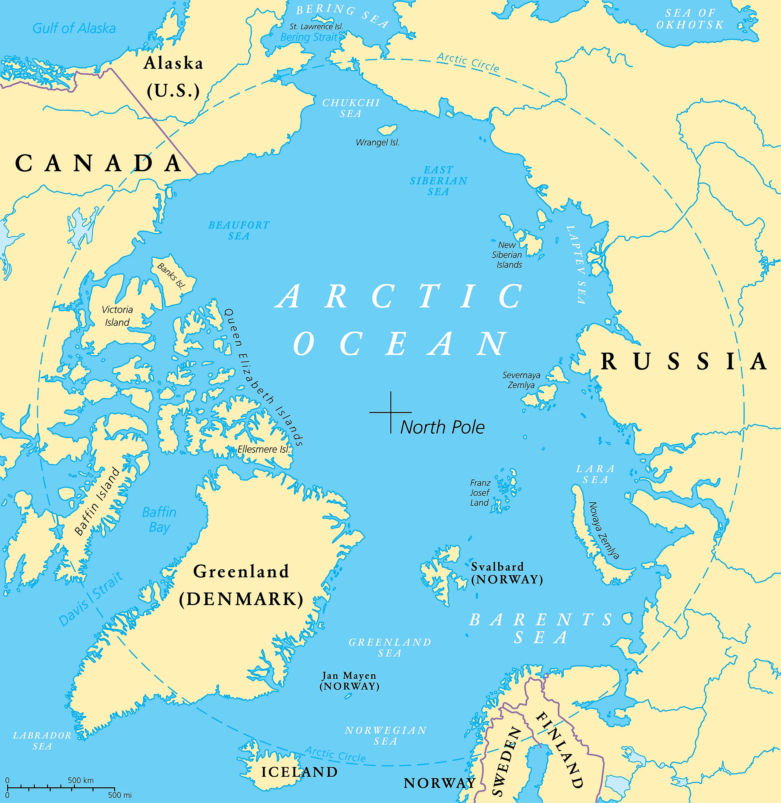
Arctic Ocean
The Northern-most Ocean.
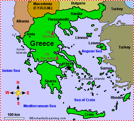
Greece
A country in Europe kind of towards Aisa.


Rome
A country near Greece but a little bit west.

U.S.A.
The middle country in North America

Mexico
The southern country in North America

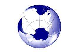
Antarctica
The Continet that is all the way south.


Title
The part that says what your looking at
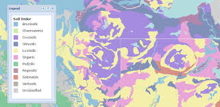
Legend/key
Tells what symbols/lines are on the paper

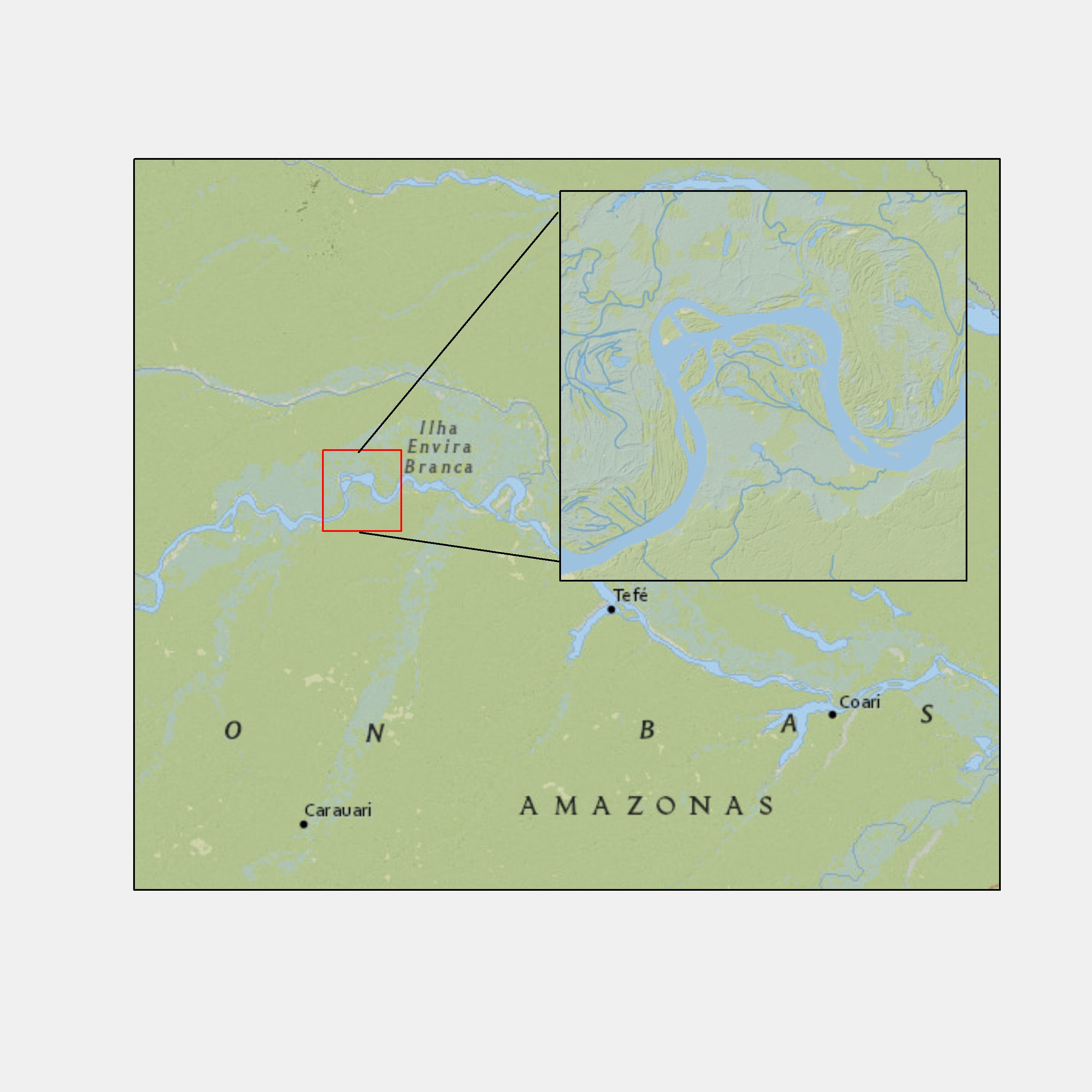
Inset Map
GIves a bigger picture of the surrounding area on the map.

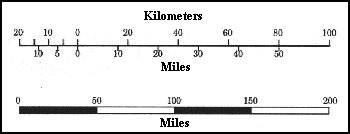
Scale
Varies to map to map and gives an estimate of distance.


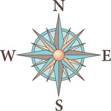
Compass Rose
Shows directions

Degrees
Units of ladditude or longitude.


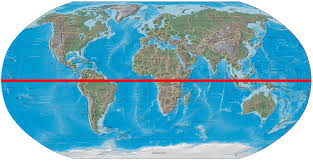
Equator
An imaginary line that runs through the center of Earth between the north and south poles.

Meridans
Imaginary line on Earth that run between the north and south poles.

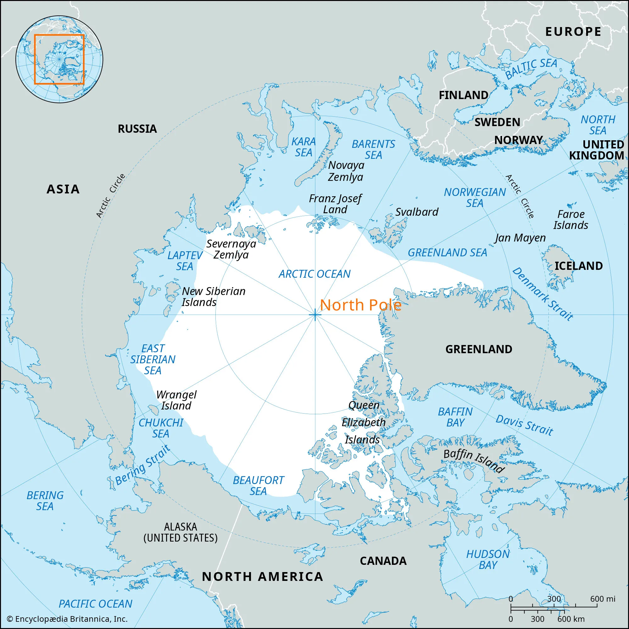
North Pole
The point on Earth located at 90 degrees north ladditude.

Parralells
Imaginary lines that run parralells to the equator.


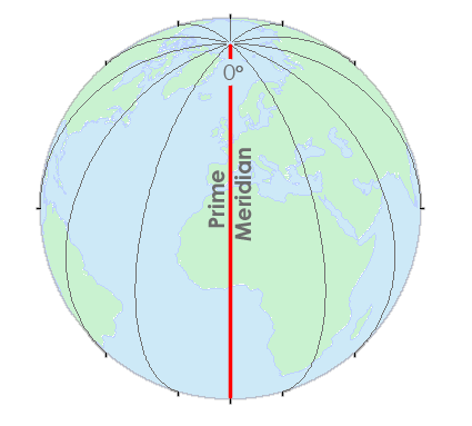
Prime Meridian
An imaginary line that runs from the north pole to the south pole at 0 degrees longitude
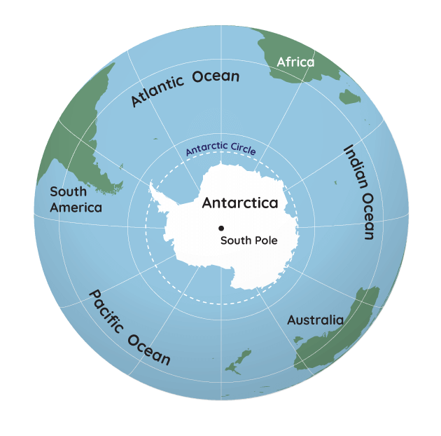
South Pole
The point on Earth located at 90 degrees south ladditude where the lines of longitude meet.


Cartogropher
A person who makes or designs maps.


Hemisphere
A part of earth
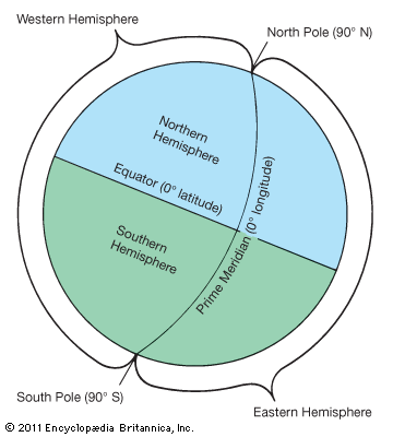

Northern Hemisphere
North America, the northern part of South America, Europe, the northern two-thirds of Africa, and most of Asia.


Southern Hemisphere
South America, one-third of Africa, Australia, Antarctica, and some Asian islands.
Eastern Hemisphere
Europe, Africa, Asia, the entire continent of Australia, and a large part of Antarctica.

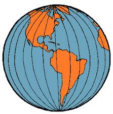
Western Hemisphere
All of North and South America and parts of Africa, Europe, Asia, and Antarctica.

Geographic Grid
The coordinate system of latitude and longitude that is used to locate positions uniquely anywhere on the surface of the Earth
Index
A list of items that identifies coordinates and landmarks.
Relative Location
A location that is near or a landmark close to a spot.
Absolute Location
A location that is accurate and is shown by grid points or a certain address.
Grid
A network with spaced lines of ladditude and longitude.
Physical Map
A map that shows the physical features of an area like mountains or rivers.
Coordinates
Latitude and longitude degree names from where they are.
Projection
the method of transferring the graticule of latitude and longitude on a plane surface