Geography Class 9 - Drainage
1/14
There's no tags or description
Looks like no tags are added yet.
Name | Mastery | Learn | Test | Matching | Spaced |
|---|
No study sessions yet.
15 Terms
Indus Water Treaty
India can have 20% of total water carried by Indus. The rest 20%is of Pakistan.
Indus River System
Source (start): West of lake Mansarowar
Mouth (end): Arabian Sea
Length: 2900km
Tributaries: Zaskar, Nubra, Shyok and Hun join in India and The Satluj, The Beas, The Chenab, The Ravi and The Jhelum join at Nithankot in Pakistan
Drainage Basin: Himachal Pradesh, J&K, Ladakh, Punjab and rest in Pakistan
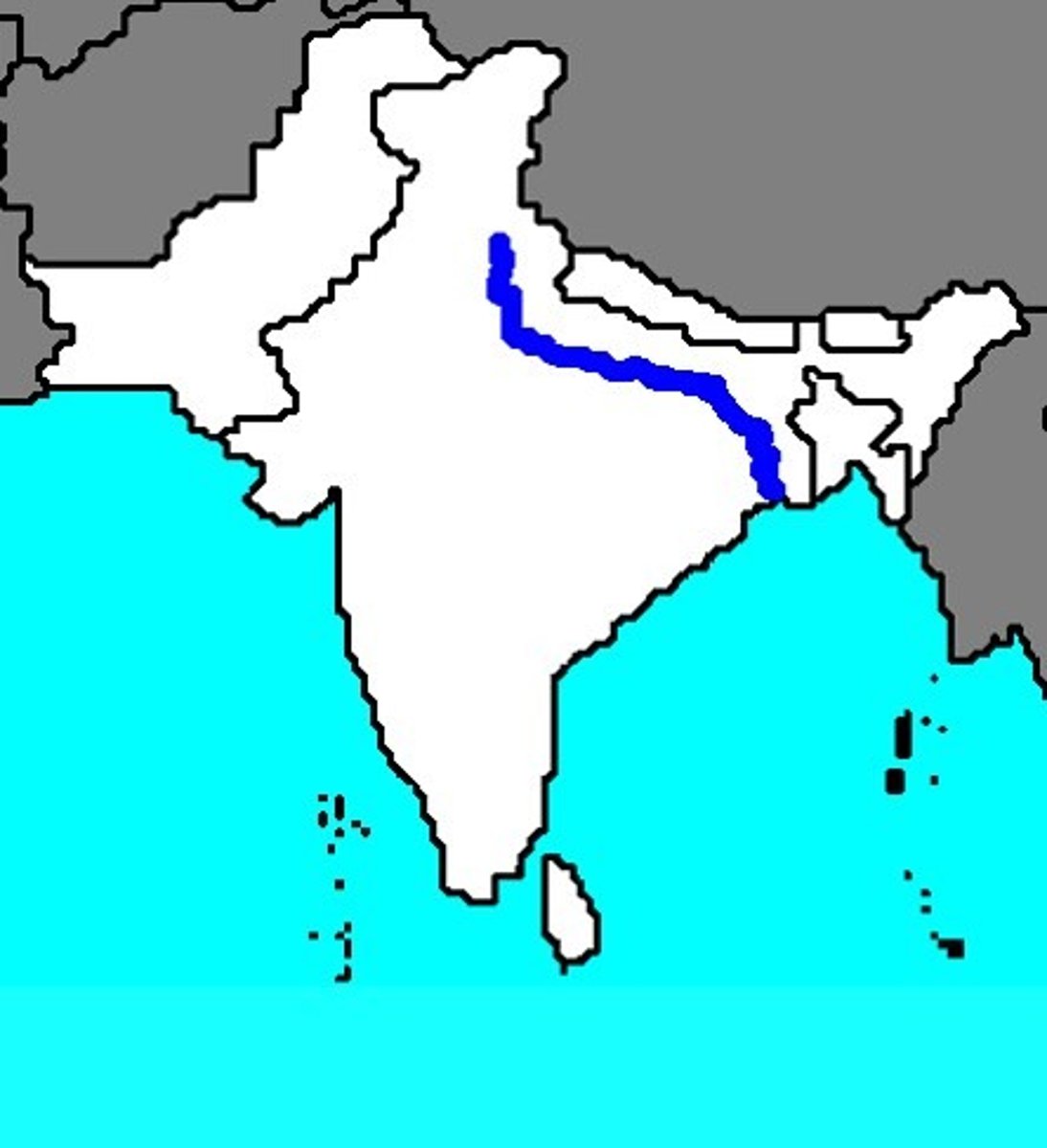
Ganga River System
Source (start): Bhagirathi fed by the Gangotri Glacier and then joined by Alaknanda at Devprayag in Uttrakhand
Mouth (end): Bay of Bengal
Length: 2500 km
Tributaries: Left Bank Tributaries are Ghagra Gandak Kosi and Right Bank Tributaries are Chambal Betwa Son Yamuna only Yamuna is perennial in the right bank
Drainage Basin: UK, UP, Bihar, Jharkhand, WB, MP
Features Of Ganga RIver System
Very gradual - fall in its slope - hardly 300m
Forms large meander
World's largest delta - The Sundarban Delta
Monsoon - Floods
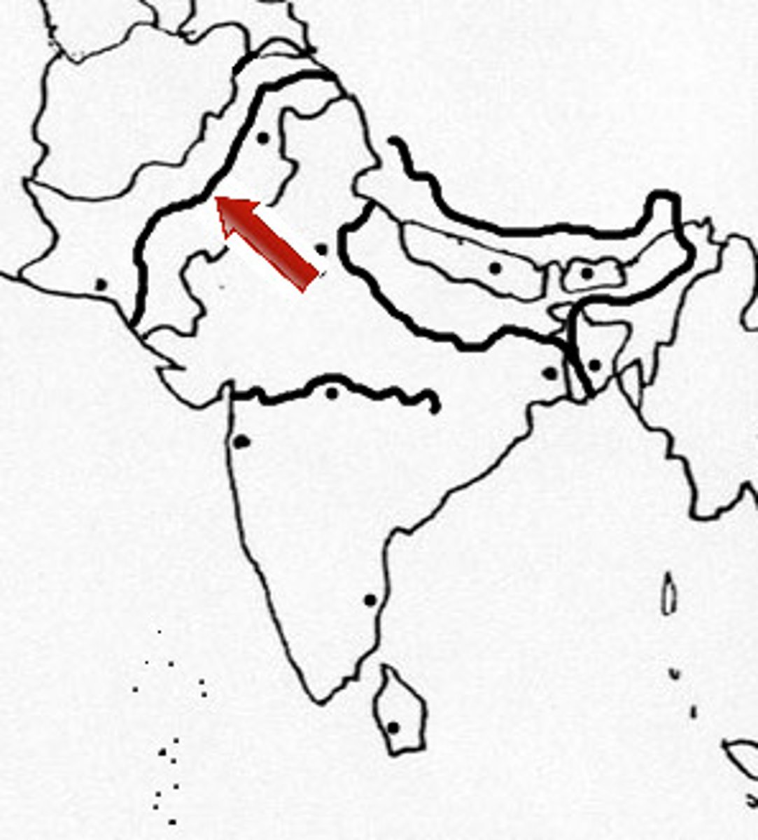
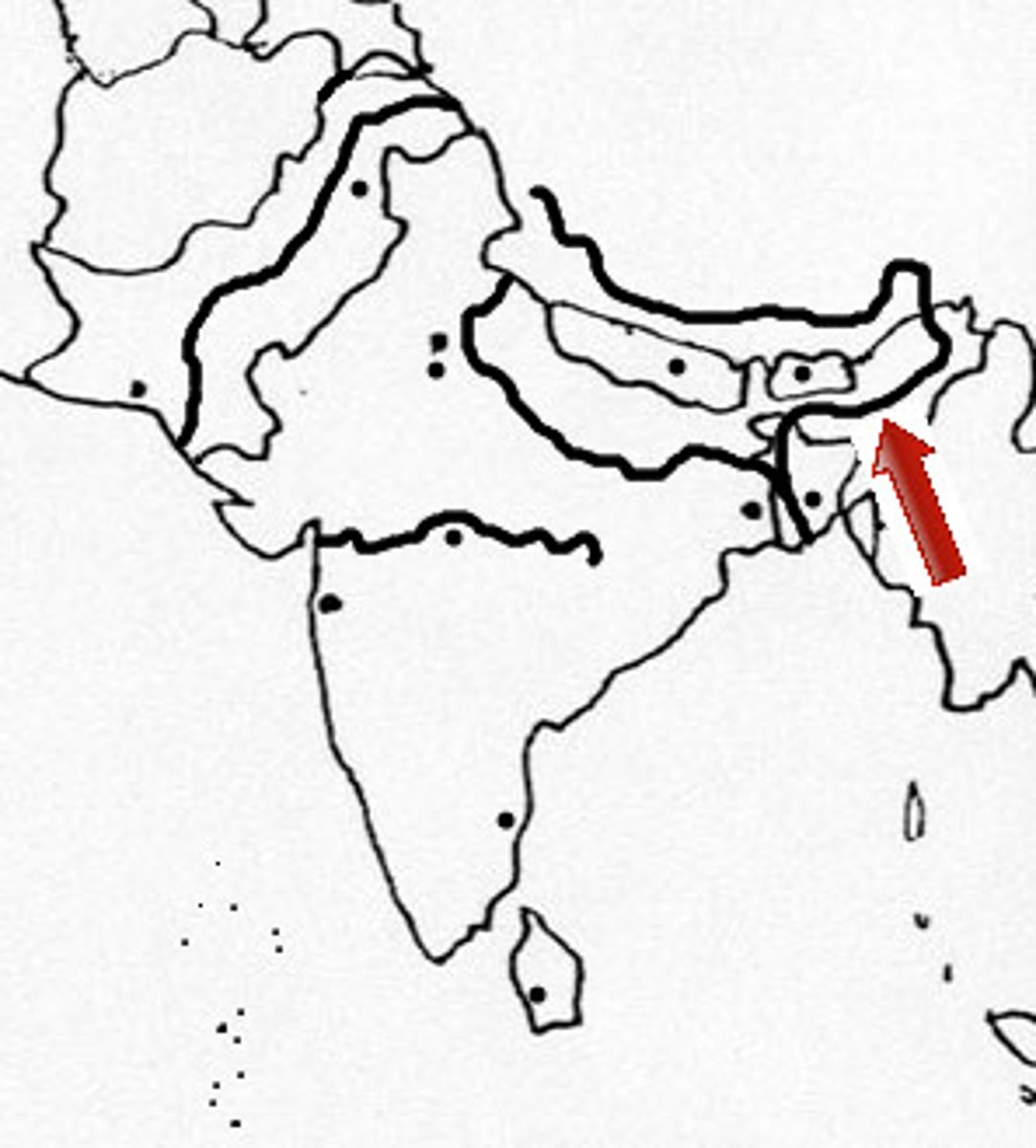
Brahmaputra River System
Source (Start): East of Mansarowar lake
Mouth (End): Bay of Bengal
Length: Longer than Indus
Distributaries: Deepang and Lohit
Drainage Basin: Arunachal Pradesh, Assam and Meghalaya
Left Bank Tributaries Of Ganga
Arise In Nepal Himalayas
Perennial
A Longer Course
E.g. Ghagra, Gandak and Kosi
Right Bank Tributaries Of Ganga
Arise In Peninsular Plateu
Seasonal
A Shorter Course
E.g. Chambal, Betwa, Son and Yamuna (Perennial)
East Flowing Rivers
Drain - Bay Of Bengal
Longer Course
Form Deltas
Compartively Slower
E.g. Mahanadi Godavri Krishna and Kaveri
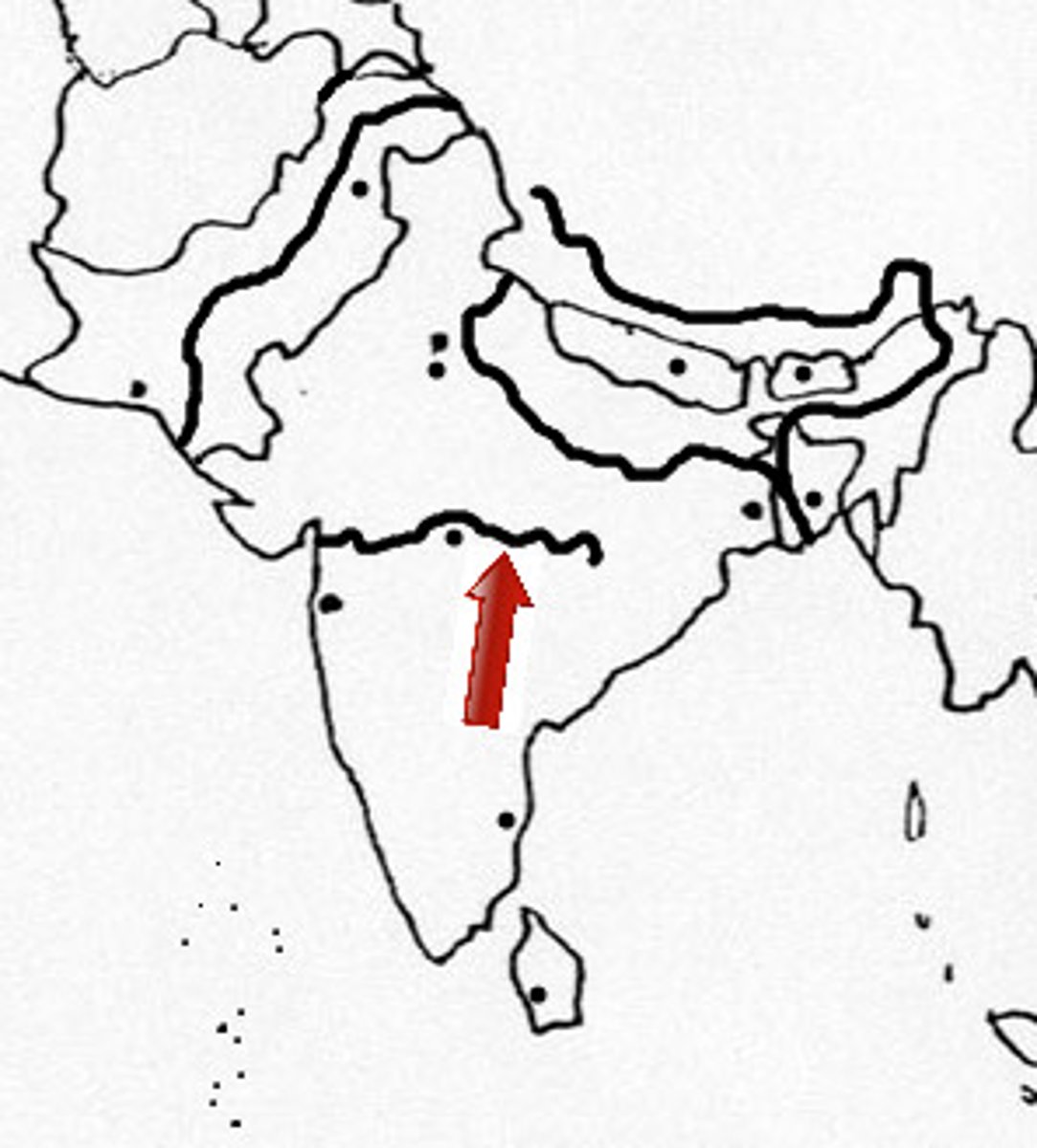
West Flowing Rivers
Drain into Arabian Sea
Shorter Course
Forms Estuaries
Fast flowing RIvers
E,g, Narmada and Tapi
Namami Gange Programme
Learn from NB
Narmada River System
Source (start): Amarkantak Hills, Madhya Pradesh
Mouth (End): Arabian Sea
Length: Not given
Tributaries: Not given
Drainage Basin: MP and Gujrat
Features Formed: The Marble Rocks and The Dhuandhar falls
Tapi River System
Source: Satpura ranges, Betul District, MP
Mouth: Arabian Sea
Drainage Basin: MP, Gujrat, Maharashtra
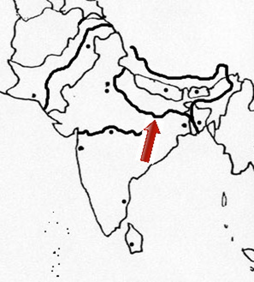
The Mahanadi Basin
Highlands Of Chattisgarh to Bay Of Bengal
About 860km
Maharashtra, Chattisgarh, Jharkhand And Odisha
The Krishna Basin
A spring near Mahabaleshwar to Bay Of Bengal
1400km
Tributaries are Tungabhadra, Koyana, Ghataprabha, Musi, Bhima
Drainage Basin:Maharashtra, Karnataka and AP
The Kaveri Basin
Brahmagiri Range of Western Ghats to Bay of Bengal
760km
Tributaries are Amravati, Bhavani, Hemavati and Kabini
Drainage Basin is Karnataka, Kerala and Tamil Nadu