I don't know what my teacher is teaching me But I am ok. They keep telling me to add more flashcards and that is ok.
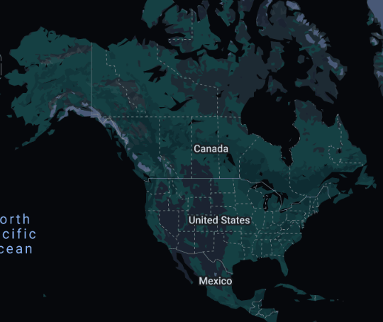
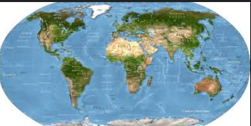
North America
Continent is at Top left
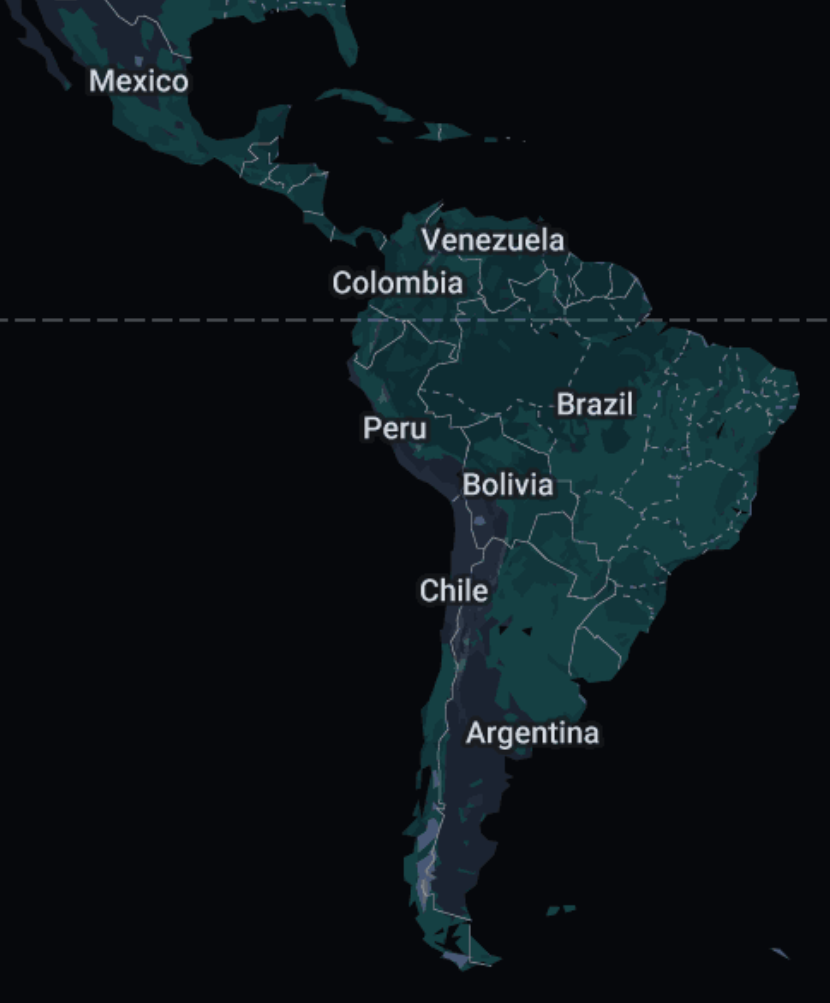
South America
Continent is at bottom left
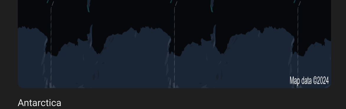
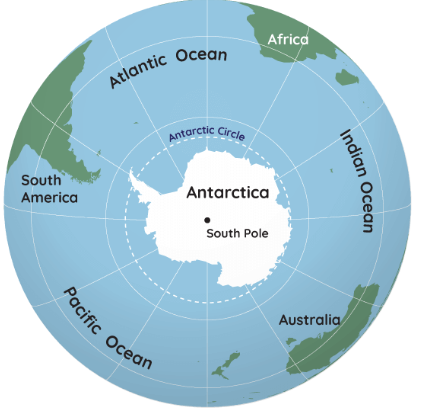
Antarctica
CONTINENT AT THE BOTTOM
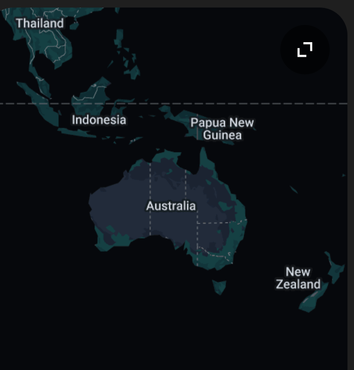
Australia
Near Asia.Only continent that is a state
Pacific Ocean
Near America
Southern Ocean
Near Antarctica
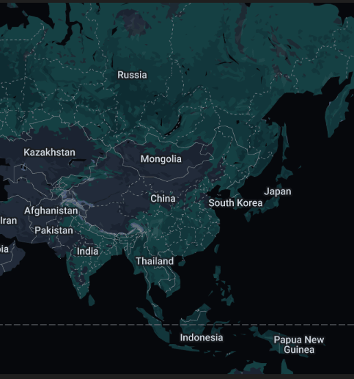
Asia
Near Australia Africa and Europe.
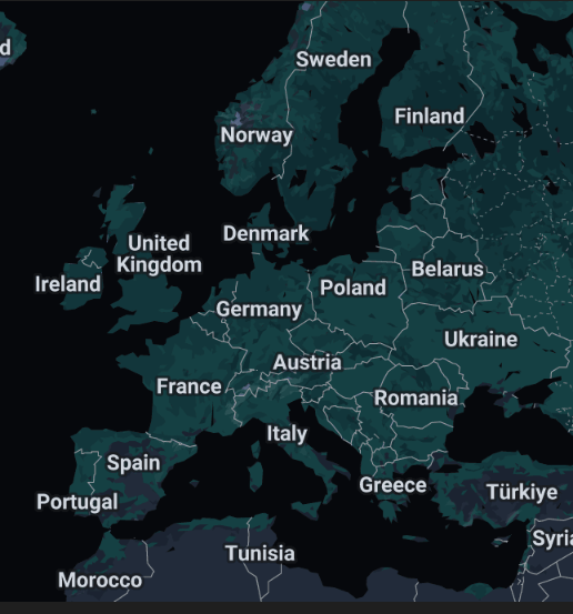
Europe
Near Asia and Africa
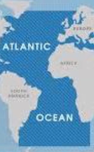
Atlantic Ocean
Near North America, South America, Africa, and Europe
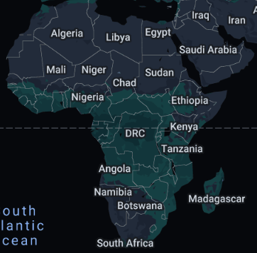
Africa
Near Europe and Asia
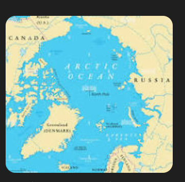
Arctic Ocean
On top, near Europe and Asia
Indian Ocean
Bottom of Asia
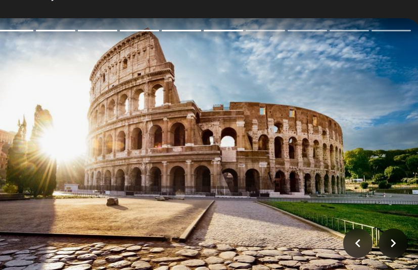
Rome
Somewhere in Europe
Greece
Somewhere near Europe
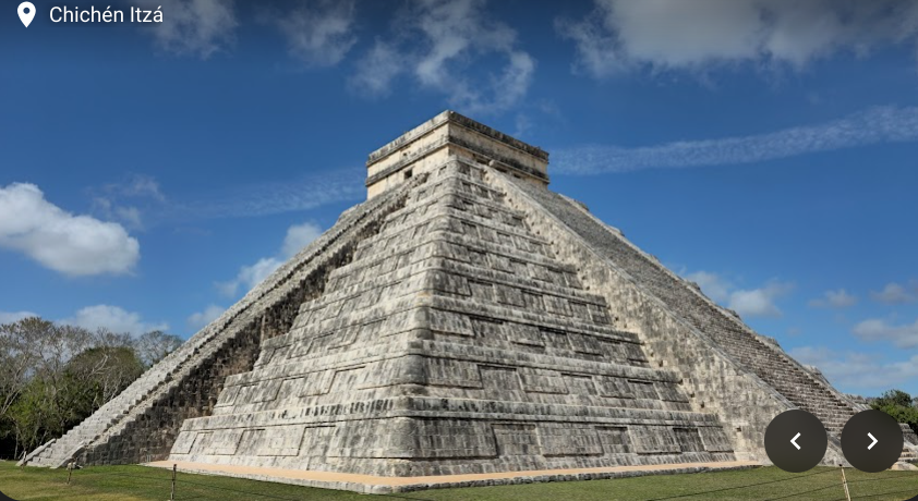
Mexico
Bottom of the United Australia States of America near South America,
United States
North America is ware
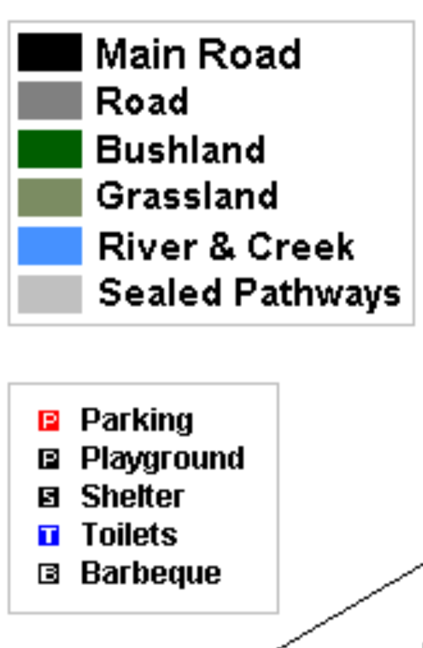
Legend/Key
tell us the symbols/ the map meaning
Title
tells you what is it about (contiguos: together or connected)
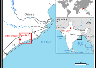
Inset map
gives a bigger picture of the surrounding
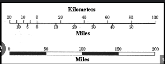
Scale
The ratio of the distance on a map to the corresponding distance on the surface the map represents.
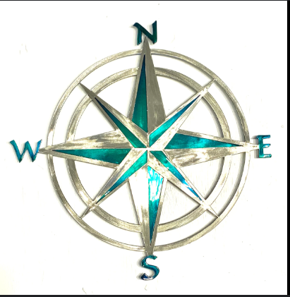
Compass rose
Shows directions ( Carddirections and Intemedliate diretilons ( middle))
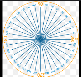
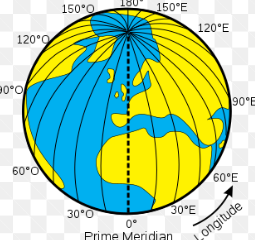
Degrees
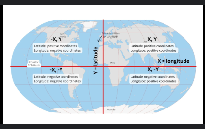
Units of Latitude and longitude ( Symbol for degrees)
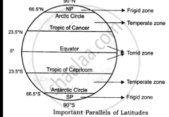
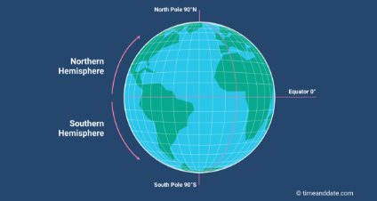
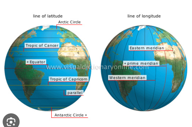
Equator
An imaginary line that runs through the Earth between the South Pole north pole at zero degrees latitude.
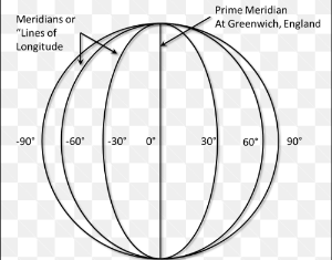
Meridians ( lines of longitude)
Imaginary lines that run between North and the South Poles
North Pole
Since the point is 90° North when the latitude meets longitude
Parallels (Lines of latitude)
Imaginary lines that is parallel to the equator
Prime meridian
An imaginary lines that runs from North poles to the South pole of longitiued.
South Pole
the Point on Earth 90° South latitude when the lines meet longitude
Cartographer
draw maps
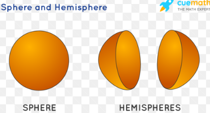
Hemisphere
a half of the earth, usually as divided into northern and southern halves by the equator, or into western and eastern halves by an imaginary line passing through the poles.
Northern Hemisphere (include which continents are in it?
North America, the northern part of South America, Europe, the northern two-thirds of Africa, and most of Asia.
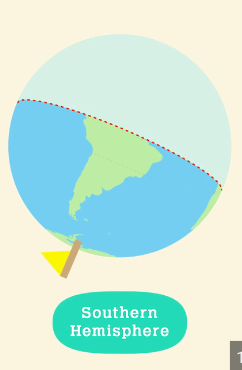
Southern Hemisphere (include which continents are in it?)
most of South America, one-third of Africa, Australia, Antarctica, and some Asian islands
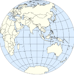
Eastern Hemisphere (include which continents are in it?)
Europe, Africa, Asia, Australia, and the islands of Oceania
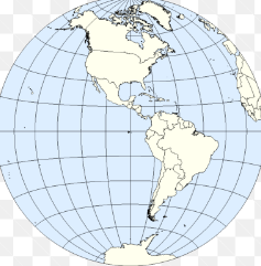
Western Hemisphere (include which continents are in it?)
all of North and South America, as well as parts of Africa, Europe, Asia, and Antarctica.
Geographic Grid
The spherical coordinate system of latitude and longitude used to locate positions uniquely anywhere on the surface of the Earth.
Index
Identifies quadrangle areas by map name and scale.
Relative location
A description of how a place is related to other places.
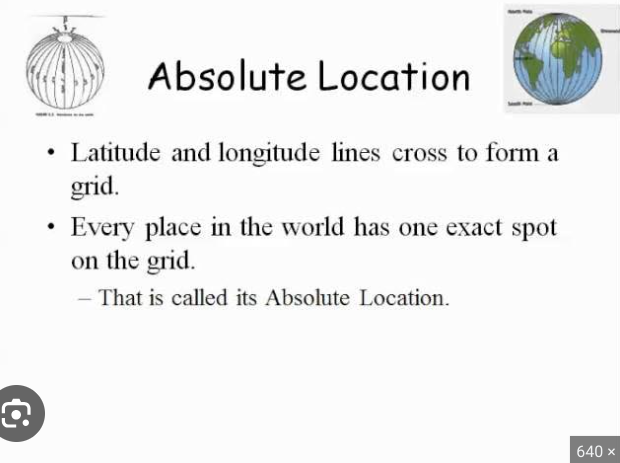
Absolute location
Its exact place on Earth, often given in terms of latitude and longitude
Grid
a pattern of horizontal and vertical lines that cross each other to make a set of squares
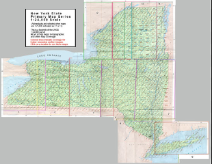
Physical Map
A physical map is a two-dimensional representation of the physical features of a particular area or region.