AP HUG - Unit 1 (Thinking Geographically)
1/73
There's no tags or description
Looks like no tags are added yet.
Name | Mastery | Learn | Test | Matching | Spaced | Call with Kai |
|---|
No analytics yet
Send a link to your students to track their progress
74 Terms
Human Geography
The study of the physical features of the world and of human activity as they affect/interact with one another.
Physical Geography
The branch of geography dealing with natural features and processes, such as: rocks and minerals, landforms, soils, animals, plants, water, atmosphere, rivers and other water bodies, environment, climate and weather, and oceans.
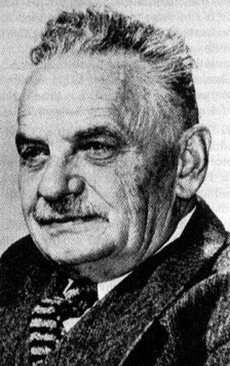
Carl Sauer
Father of human geography. He was the first to study human patterns and the "why of where" ("Why are those people living there? Where did they migrate from? How has the environment shaped their cultural practices").
Two Geographical Perspectives
1. Spatial perspective
2. Ecological perspective
-While the spatial perspective is about patterns and location, the ecological perspective is about interactions between humans and nature.
Spatial Perspective
A geographical perspective that focuses on where things are located, how they are arranged on Earth's surface, and why those patterns exist.
Ecological Perspective
A geographical perspective that looks at the relationship between people and the environment.
-It explores how humans adapt to, depend on, and change their surroundings, such as how farmers irrigate land in dry areas or how pollution affects local ecosystems.
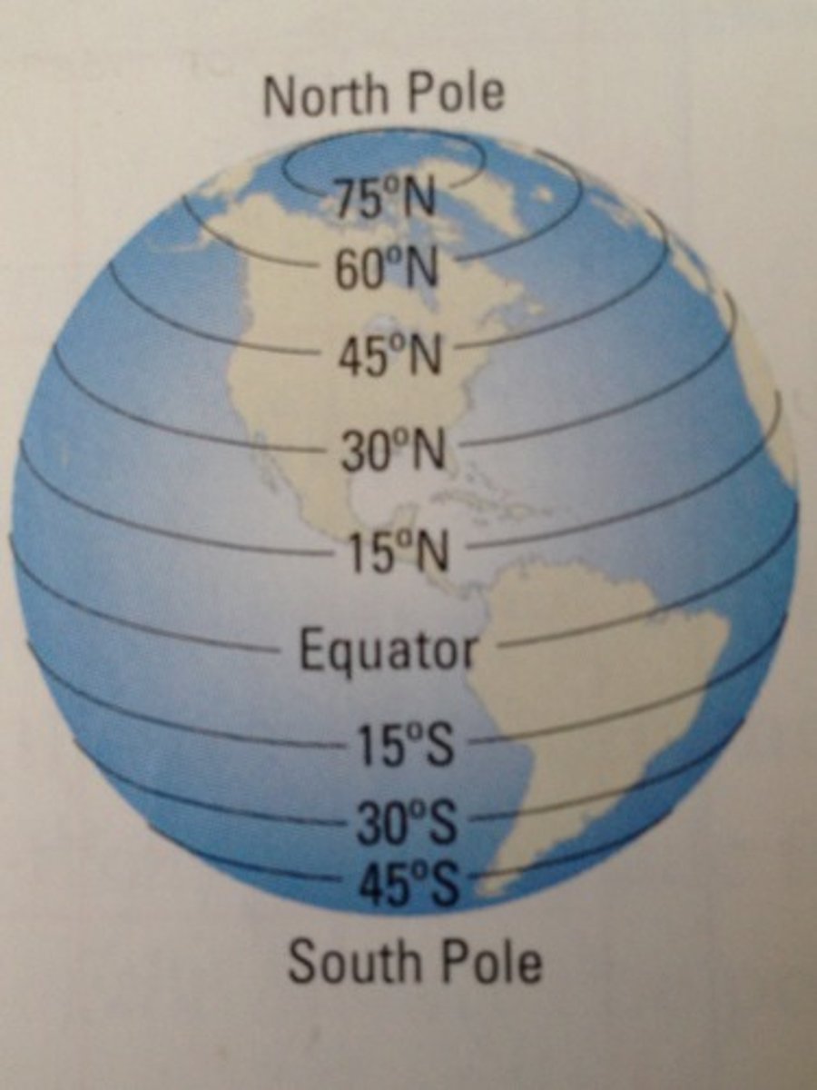
Latitude
Lines that run horizontally on a map and measure North/South.
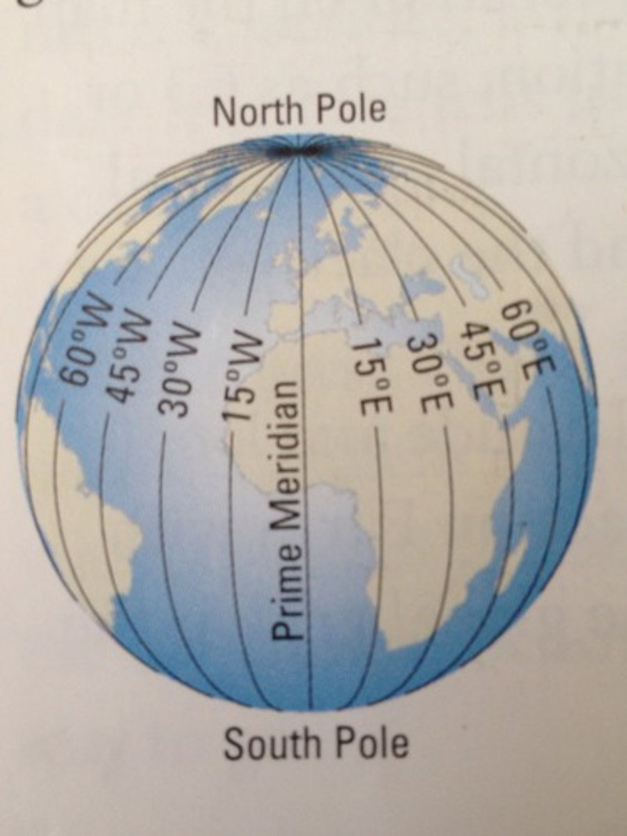
Longitude
Lines that run vertically on a map and measure East/West.
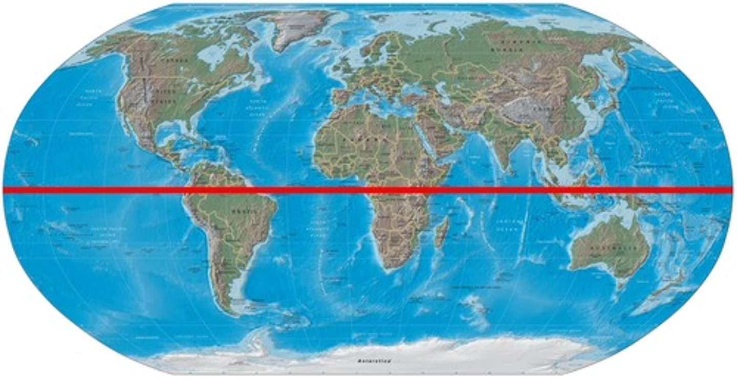
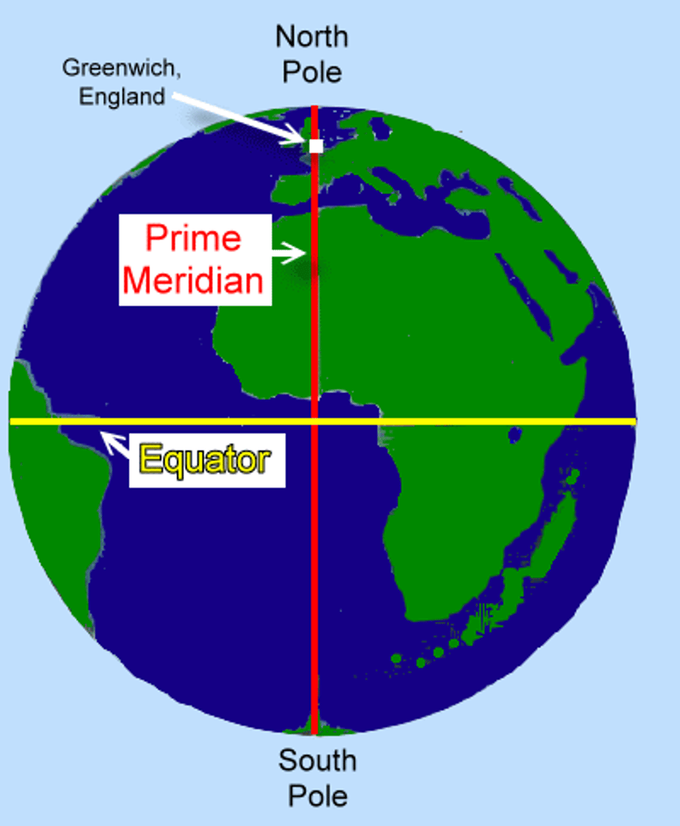
Equator
An imaginary HORIZONTAL line drawn around the middle of the earth, dividing the earth into northern and southern hemispheres, at 0 degrees latitude.
Prime Meridian
An imaginary VERTICAL line at 0 degrees longitude
Absolute Location
Describes the exact position of a place on Earth using a coordinate system, typically latitude and longitude.
Relative Location
Describes where a place is in relation to other places like nearby landmarks.
Absolute Distance
The exact measurement of space between two points, typically expressed in standard units such as meters, kilometers, or miles.
Relative Distance
Distance measured in terms such as time, effort, or cost, rather than a fixed measurement.
Cartographer
A person who makes maps.
Reference Maps
Maps that tell us what is where.
Thematic Maps
Maps that tell us what it's like / how it's like in a specific area.
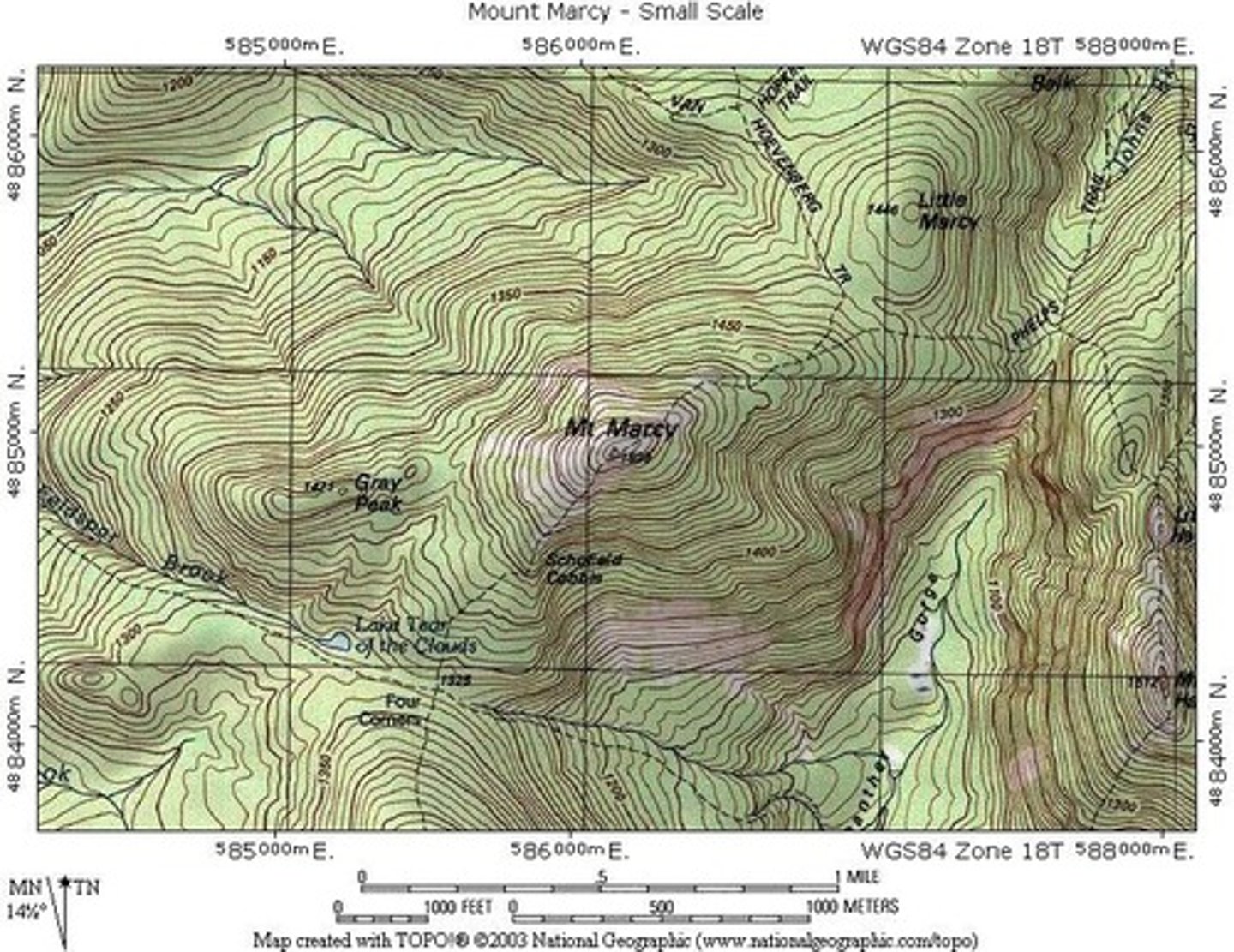
Topographic Map
A reference map that shows the surface features of an area.
-Strength: Shows accurate location of things.
-Weakness: Doesn't show what / how a place is like.
6 Types of Thematic Maps
1. Choropleth
2. Cartogram
3. Isoline
4. Dot distribution
5. Flow Map
6. Proportional/Graduated Symbol Map
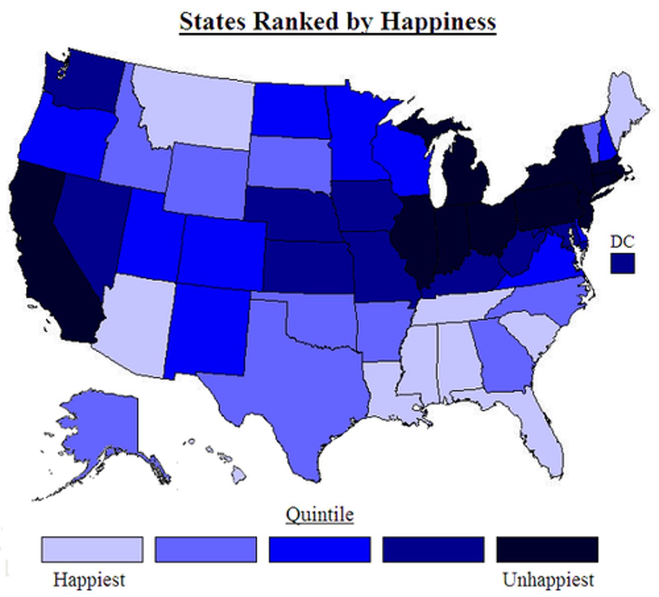
Choropleth Map
A thematic map that uses colors/shading to represent quantifiable data.
-Strengths: Shows great density, visually easy to see.
-Weaknesses: Doesn't show accurate distribution, not specific enough, can be misleading.
Dot Distribution Map
Isoline Map
Cartogram Map
Flow Map
Proportional/Graduated Symbol Map
Site vs. Situation
Map Projection
Distortion
Mercator Projection
Robinson Projection
Goode Homolosine Projection
Fuller Projection
Peters Projection
Mental Maps
Density
Clustered
Dispersed
Space
Pattern
Flow
Scales of Analysis
Interdependence
Distance Decay (caused by friction of distance)
Time-Space Compression
Diffusion
Hierarchical Diffusion
Reverse Hierarchical Diffusion
Stimulus Diffusion
Relocation Diffusion
Contagious Diffusion
"Why of the where"
Large Scale Maps (zoomed in for more detail)
Small Scale Maps (zoomed out for less detail)
Local Level of Analysis
Regional Level of Analysis
National Level of Analysis
GLOBAL Level of Analysis
GLOCAL Level of Analysis
Formal Region (aka Uniform or Homogenous)
Functional (aka Nodal)
Perceptual (aka Vernacular)
Border Region / Transition Zones (aka Border Zone)
Regional Identity
Qualitative Data
Quantitative Data
Models
Census
Geographic Information Systems (GIS)
Geospatial Data
Remote Sensing
Global Positioning System (GPS)
Environmental Determinism
Possibilism
Sustainability