Module's 3-5 Quizzes
1/13
There's no tags or description
Looks like no tags are added yet.
Name | Mastery | Learn | Test | Matching | Spaced | Call with Kai |
|---|
No analytics yet
Send a link to your students to track their progress
14 Terms
On a standard map projection, what direction does the y-axis point toward?
a) East
b) North
c) South
d) West
b) North
What is the significance of the coordinate point (0°, 0°)?
a) It is located at the intersection of the Prime Meridian and the Equator
b) It is located at the Greenwich Observatory
c) It is located at the South Pole
d) It is located at the North Pole
a) It is located at the intersection of the Prime Meridian and the Equator
An equidistant projection preserves:
a) Distances from certain points
b) Only areas
c) Distances everywhere perfectly
d) Only directions
a) Distances from certain points
What is a major characteristic of the UTM projection system?
a) It shows true direction globally
b) It uses a single global projection
c) It divides the world into multiple narrow zones with minimal distortion
d) It is only used in the United States
c) It divides the world into multiple narrow zones with minimal distortion
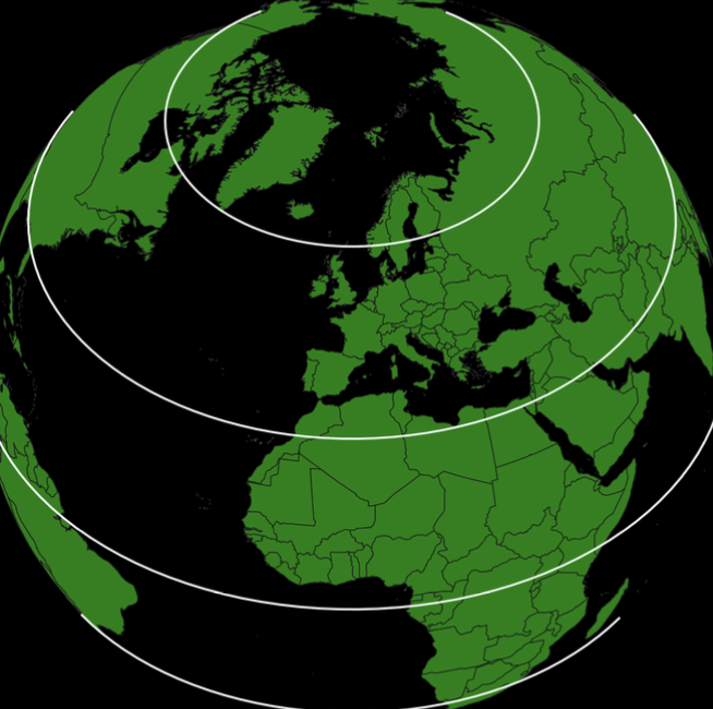
What are the White Lines?
Lines of Latitude
What is a "rover" in the context of GPS and DGPS?
a) A correction data broadcast tower
b) A mobile GPS receiver whose position is being determined
c) A satellite that moves across the sky
d) A stationary GPS unit used for calibration
b) A mobile GPS receiver whose position is being determined
What is the basic principle behind GPS positioning?
a) Triangulating satellite angles
b) Calculating distances from satellites using signal travel time
c) Tracking satellite visual paths
d) Measuring signal strength from satellites
b) Calculating distances from satellites using signal travel time
In differential GPS, if the base station has a known position and measures the satellites' ranges, what does it send to the rover?
a) Correction data for the rover to apply to its own calculations
b) The base station's own GPS coordinates
c) Raw satellite signals
d) New satellite coordinates
a) Correction data for the rover to apply to its own calculations
Which method typically provides the highest GPS accuracy?
a) Float RTK
b) Standard single-point GPS
c) Assisted GPS (A-GPS)
d) Fixed RTK
d) Fixed RTK
Why are 4 satellites necessary for accurate GPS positioning?
a) To correct the receiver’s clock bias
b) To improve signal strength
c) To determine receiver’s altitude
d) To account for atmospheric interference
a) To correct the receiver’s clock bias
What is a "rover" in the context of GPS and DGPS?
a) A correction data broadcast tower
b) A mobile GPS receiver whose position is being determined
c) A satellite that moves across the sky
d) A stationary GPS unit used for calibration
b) A mobile GPS receiver whose position is being determined
What is the basic principle behind GPS positioning?
a) Triangulating satellite angles
b) Calculating distances from satellites using signal travel time
c) Tracking satellite visual paths
d) Measuring signal strength from satellites
b) Calculating distances from satellites using signal travel time
In differential GPS, if the base station has a known position and measures the satellites’ ranges, what does it send to the rover?
a) Correction data for the rover to apply to its own calculations
b) The base station’s own GPS coordinates
c) Raw satellite signals
d) New satellite coordinates
a) Correction data for the rover to apply to its own calculations
Which method typically provides the highest GPS accuracy?
a) Float RTK
b) Standard single-point GPS
c) Assisted GPS (A-GPS)
d) Fixed RTK
d) Fixed RTK