Climate Test Review
1/55
Earn XP
Description and Tags
Name | Mastery | Learn | Test | Matching | Spaced | Call with Kai |
|---|
No analytics yet
Send a link to your students to track their progress
56 Terms
What is climate?
weather conditions in an area over a long period of time
What factors are climate affected by?
latitude, elevation, global winds, ocean currents, proximity to water
Which two factors determine the climate in a particular region?
temperature and precipitation
At which latitude would you expect to find the warmest air temperatures?
0°
At which latitude would you expect to find the coldest air temperatures?
66.5°N
What areas are located between 66.5°N and the North Pole and 66.5°S and the South Pole. They have low temperatures and very little precipitation.
Polar Climate Zones
What is elevation?
the height above sea level
What climate zone is located near the equator where the sun is directly overhead all year?
tropical
What temperature are currents on the east coast of continents and why?
warm because they typically travel from the equator to the poles, carrying warm water from tropical regions
Which of the five major climate zones has the highest annual rainfall and stays warm all year with little seasonal change?
tropical
Which of the five major climate zones tends to have the most extreme seasonal changes?
continental
What causes wind?
differences in air pressure
What causes differences in air pressure?
uneven heating of the earth
What is wind?
the movement of air from areas of high pressure to areas of low pressure
In which direction do prevailing westerlies flow?
from west to east
Winds that come from the east and occur between 60 and 90 degrees north and south latitude are known as the ________.
Polar Easterlies
Early trade commerce to the America's depended on these steady winds that blow between the equator and 30 latitude north and south are known as the ______.
Trade Winds
What temperatures do temperate climates have?
Moderate (medium) temperatures
What climate zone is this?
Dry
What climate zone is this?
Polar
What climate is warm and rainy year round and is found near the Amazon rain forest in South America?
Tropical Wet
What climate zone has warm summers, cool winters, and average precipitation?
temperate
What temperature are currents on the west coast of continents and why?
cold because they typically travel from the polar regions towards the equator
What is weather?
The state of the atmosphere at a specific time and place
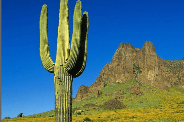
What is a hot and dry climate region that is typically near 30' latitude?
dry
What latitudes do the trade winds have?
0’-30’
What latitudes do the polar easterlies have?
30’-60’
What latitudes do the prevailing westerlies have?
30’-60’
What does warm air rising create?
clouds and precipitation
What is the difference between the highest and lowest temperature?
temperature range
If fresh water is added to salt water it will ___
float
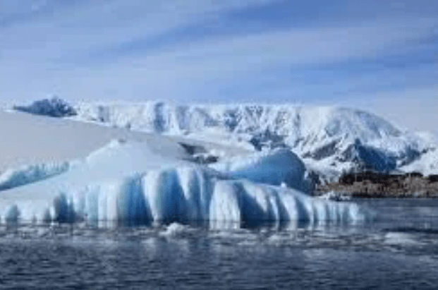
What climate region is cold all year long and very dry?
polar
What can help cause a region’s temperature to be cooler or warmer if they are located near the ocean?
ocean currents
A coordinate that measures how far north or south a point is on Earth
latitude
What climate region has hot summers, cold winters, and the most drastic temperature range?
continental
How do landforms like mountains affect climate?
Mountains can block rainy weather from reaching the other side of the mountain.This is called a rain shadow, which is when the air that reaches the other side of the mountain is warm and dry.
How does latitude affect climate?
If an area is near the equator, it will be hotter because there are direct sun rays on it. If an area is farther away from the equator, such as the poles, they will be colder.
How do ocean currents affect the climates of the continents?
If a continent is near a cold ocean current, then it will have a colder relative temperature. If a continent is near a warm ocean current, then it will have a warmer relative temperature.
What is the temperature range for tropical climate regions and why?
Small temperature range because it’s always hot with similar temperatures.
What is the relative temperature for tropical climate regions and why?
hot because it’s close to the equator, where there is lots of sun
What is the amount of precipitation for tropical climate regions and why?
Lots of precipitation because it’s close to bodies of water and it’s so hot the water can evaporate.
What is the temperature range for polar climate regions and why?
Small temperature range because it’s always freezing
What is the relative temperature for polar climate regions and why?
The relative temperature is cold because it’s farthest from the equator
What is the amount of precipitation for polar climate regions and why?
Little precipitation because it isn’t hot enough for water to evaporate.
What is the temperature range for temperate climate regions and why?
Moderate temperature range, temperatures don’t change much but there are still seasons.
What is the relative temperature for temperate climate regions and why?
Relative temperature is cold because of the cold ocean current.
What is the amount of precipitation for temperate climate regions and why?
Average precipitation because it isn’t too hot or cold and it is a moderate climate.
What is the temperature range for continental climate regions and why?
Large temperature range because they have all seasons and experience drastic seasonal changes.
What is the relative temperature for continental climate regions and why?
Relative temperature is warm because of the warm ocean current.
What is the amount of precipitation for continental climate regions and why?
Average amount because they have all seasons
What is the temperature range for dry/arid climate regions and why?
Little temperature range because it’s always hot
What is the relative temperature for dry/arid climate regions and why?
Relative temperature is hot because they don’t have much water
What is the amount of precipitation for continental climate regions and why?
Average Precipitation because it gets all 4 seasons
What are surface currents caused by?
wind
What is the Coriolis Effect?
Makes things that travel long distances around Earth appear to move at a curve
If salt water is added to fresh water it will ___
sink