AP Human Geo
 Note
Note Call Kai
 Learn
Learn Practice Test
 Spaced Repetition
 Match
Match Flashcards
 Knowt Play
1/24

There's no tags or description
Looks like no tags are added yet.
Name | Mastery | Learn | Test | Matching | Spaced | Call with Kai | Chat |
|---|
No analytics yet
Send a link to your students to track their progress
25 Terms
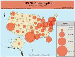
Graduated symbols
Size of symbol relates to frequency or total number of a phenomenon.
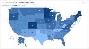
Choropleth
Color gradients represent the density or prevalence of a phenomenon.
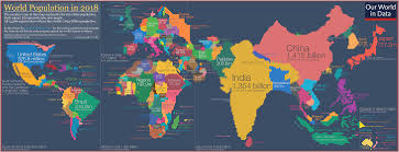
Cartogram
Size of a place is distorted to reflect the density or frequency or total number of a phenomenon.
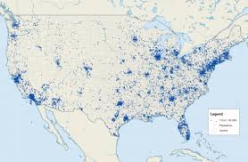
Dot distribution
Dots represent frequency and location of a phenomenon.
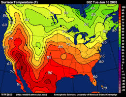
Isoline
Color gradients denote the general boundaries of a particular phenomenon.
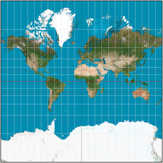
Mercator projection
90-degree right angles, true to direction, accurate in small areas, with parallel lines of longitude and latitude.
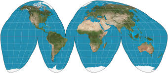
Interrupted projection
Depicts continents accurately by leaving blank space in less important areas like oceans.
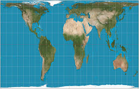
Gail-Peters projection
Cylindrical equal area map that distorts longitude to provide a more accurate size comparison of countries.
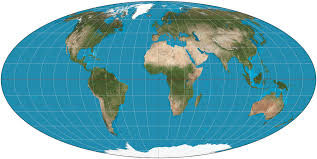
Mollweide projection
Equal area projection that preserves area but distorts shape, distance, and size.
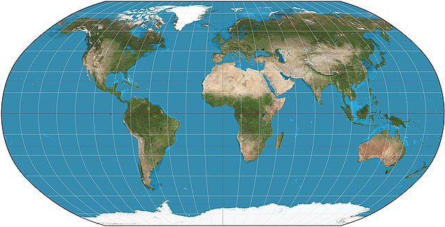
Robinson projection
Most preferred map projection, a compromise that distorts in all four ways but is true to size.
Sense of place
Characteristics that give a place a specific identity, such as geography and street layout.
Vernacular architecture
Building materials and styles popular in an area, reflecting social customs and local resources.
Toponyms
Place names that indicate who has settled or controlled an area, often providing historical context.
Cultural landscape
Anything built by humans that reflects cultural practices and values.
Change over time
Changes in cultural landscape due to immigration, technology, and cultural shifts.
Sequent occupancy
Layers of changes in a location over time.
Absolute location
Precise location defined by a coordinate system, such as GPS.
Relative location
Location measured in distance or time relative to other locations, which can change over time.
Latitude
Lines that run parallel to the equator.
Longitude
Lines that run parallel to the prime meridian, which passes through Greenwich, England.
point of view
birds eye
reduced scale
not actual size
generalized representation
map doesnt show everything
symbolized representation
not everything is drawn to scale, different cities are represented by different size dots