APHG Ch. 1 Vocab
1/42
There's no tags or description
Looks like no tags are added yet.
Name | Mastery | Learn | Test | Matching | Spaced | Call with Kai |
|---|
No analytics yet
Send a link to your students to track their progress
43 Terms
cartography
science of mapmaking
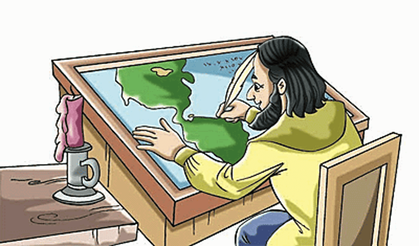
projection
scientific method of transferring locations on Earth's surface to a flat map
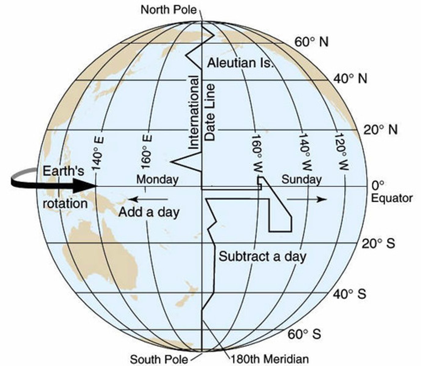
International Date Line
on 180 degrees longitude for the most part. going east across it, turn clock 24 hours back. Going west across it turn clock 24 hours forward
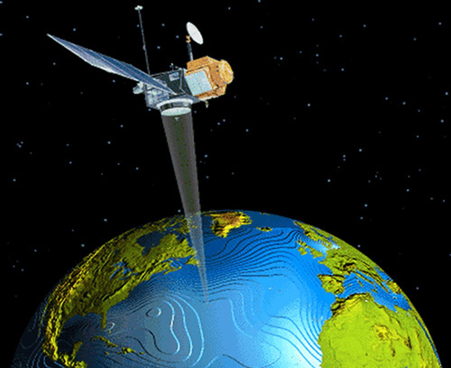
remote sensing
acquisition of data about Earth's surface from orbiting of satellites or other long distance methods
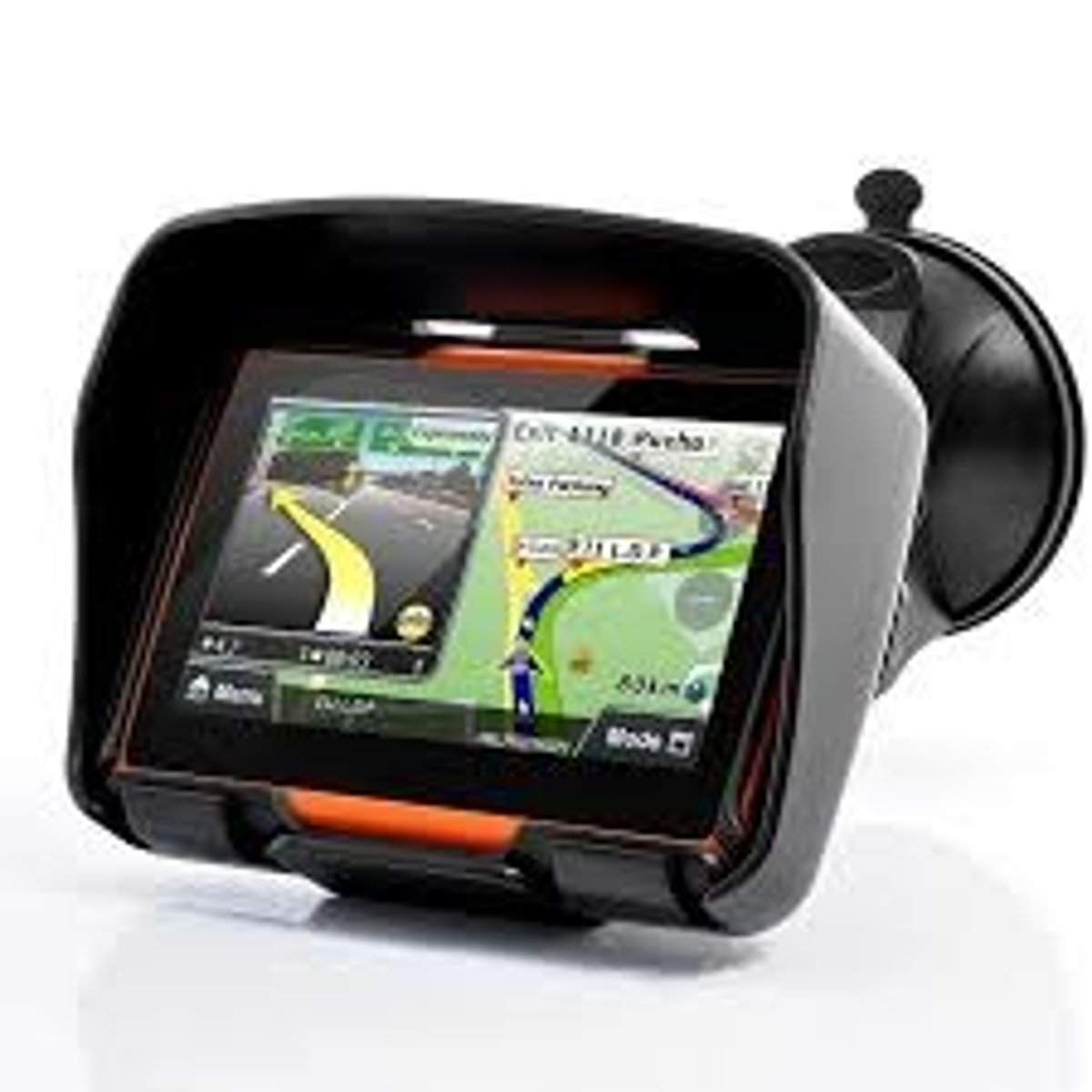
Global Positioning System
A system that determines the precise position of something on Earth through a series of satellites, tracking stations, and receivers.
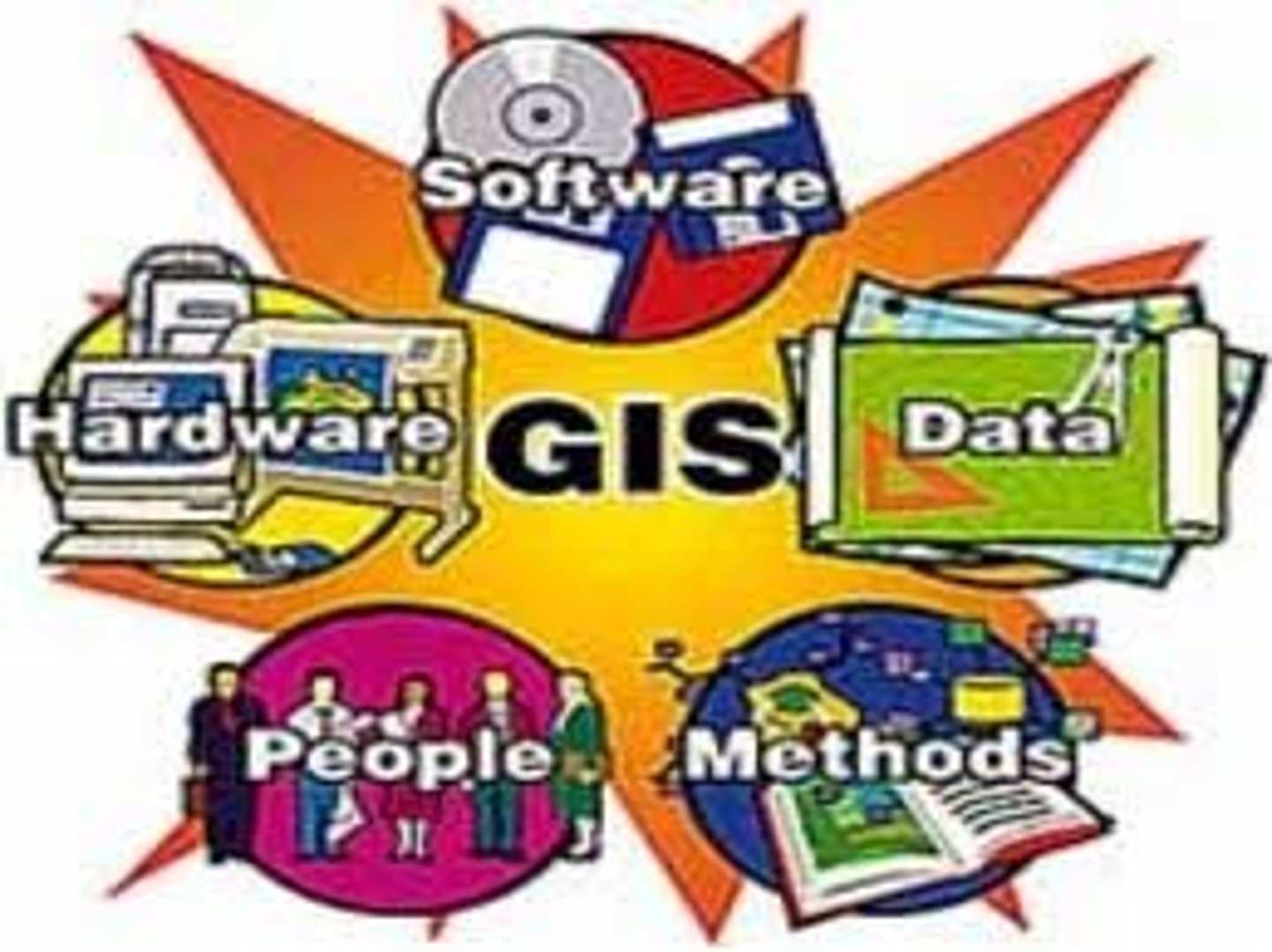
Geographic Information System
development and analysis of data about Earth acquired through satellite and other electronic information technology
toponym
name given to a place on Earth
formal region
an area within which everyone shares in common one or more distinctive characteristic
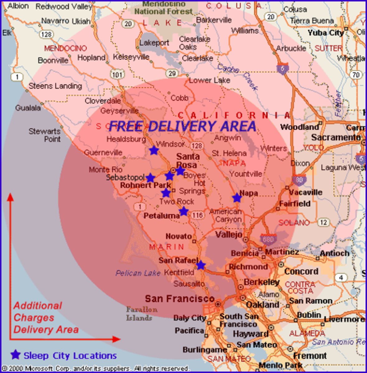
functional region
an area organized around a node or focal point
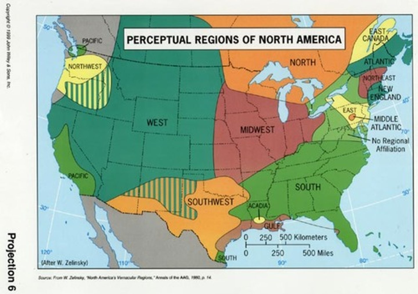
vernacular/perceptual region
an area that people believe exists as part of their cultural identity
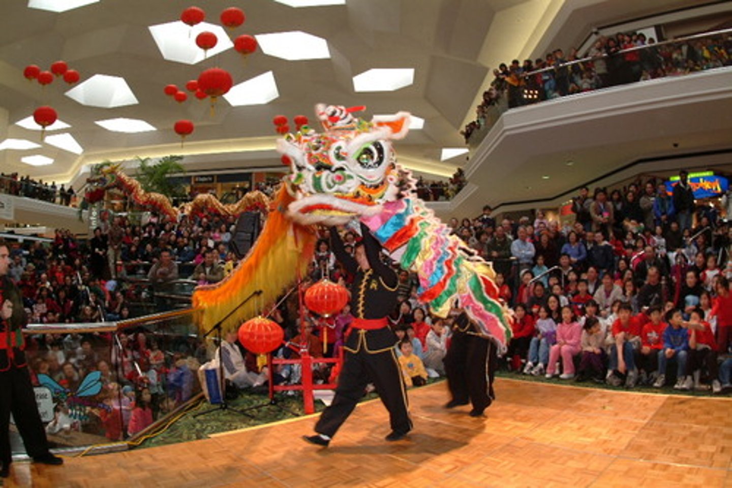
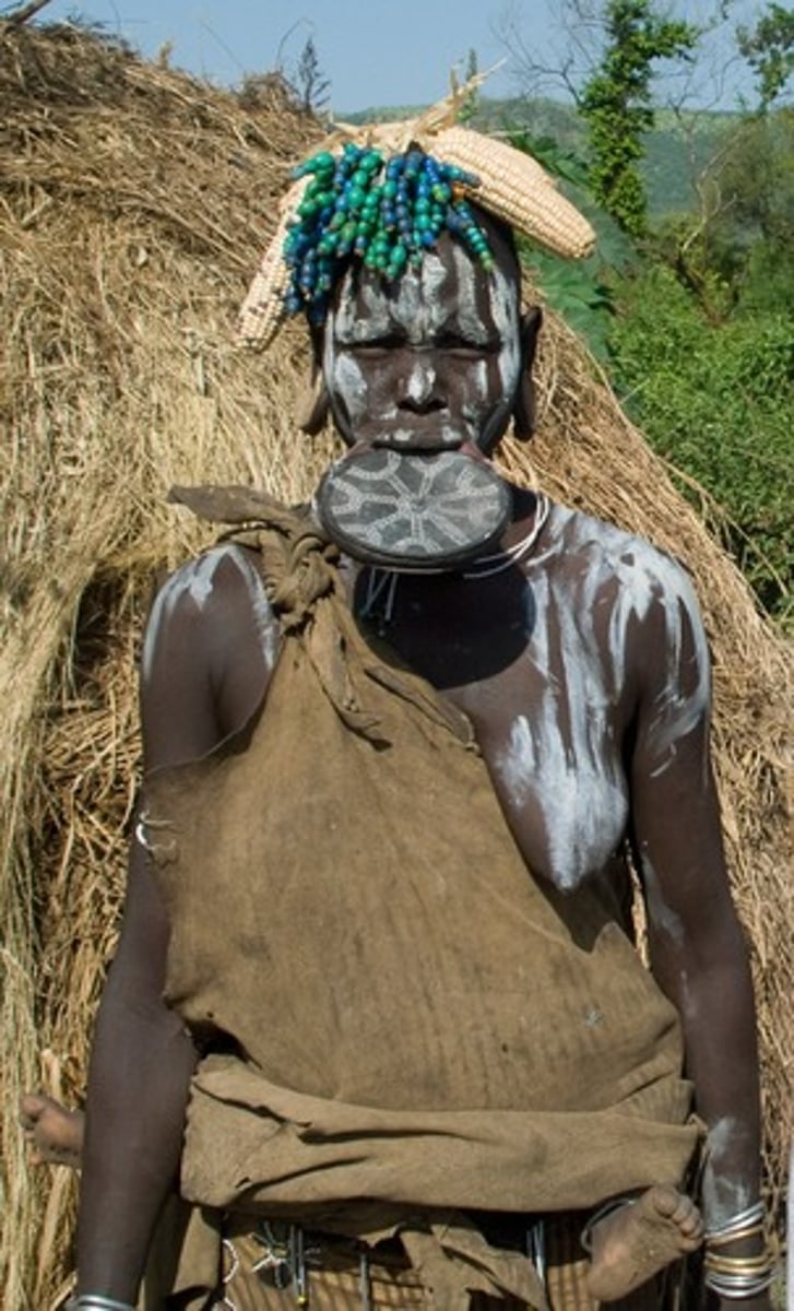
culture
body of customary beliefs, material traits, and social forms that together constitute distinct tradition of a group of people
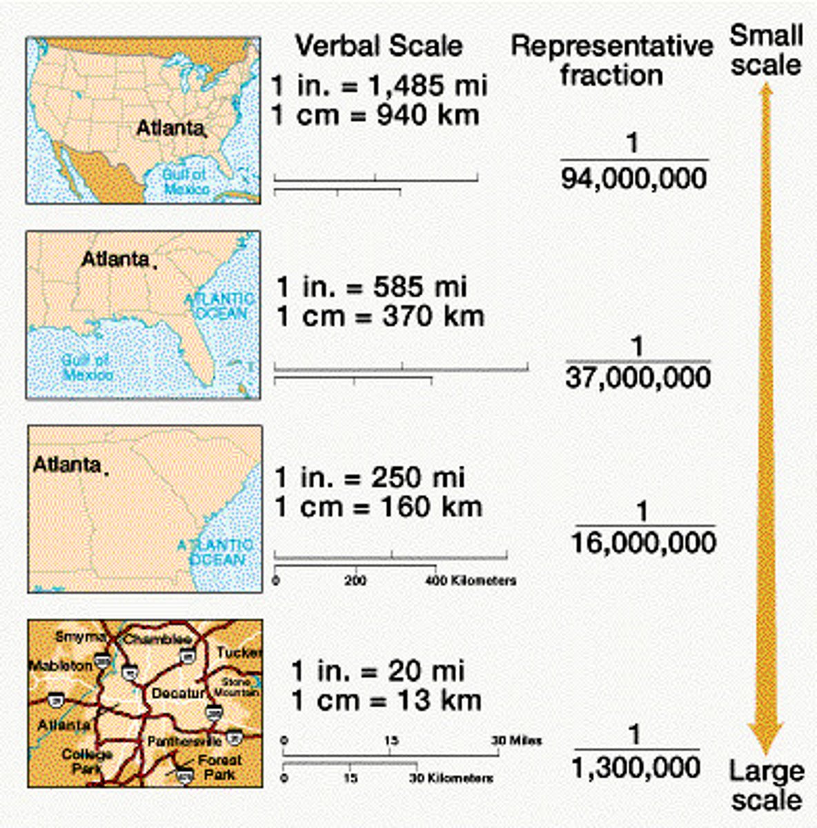
scale
generally, the relationship between the portion of Earth being studied and Earth as a whole
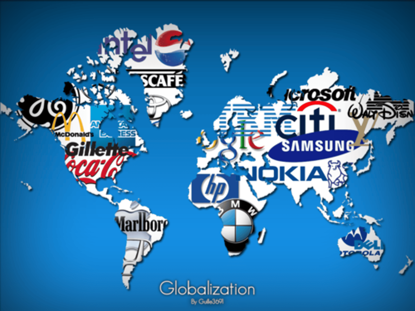
globalization
a force or process that involves the entire world and results in making something worldwide in scope
space
physical gap or interval between two objects
distribution
the arrangement of a feature in space
density
the frequency with which something occurs in space
connection
relationships among people across the barrier of space

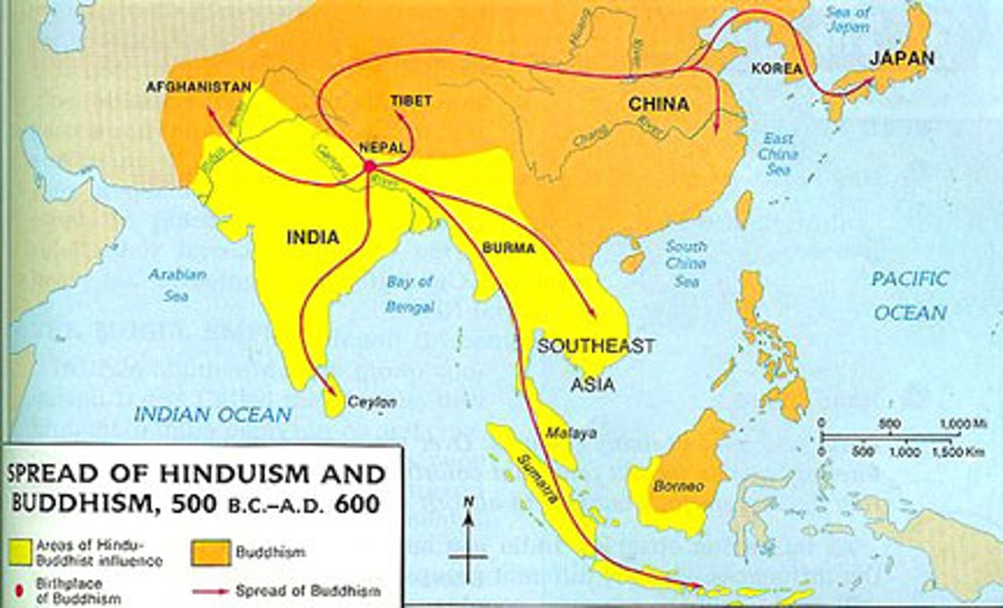
diffusion
the process by which a characteristic spreads across space over time
relocation diffusion
spread of an idea through physical movement of people from one place to another
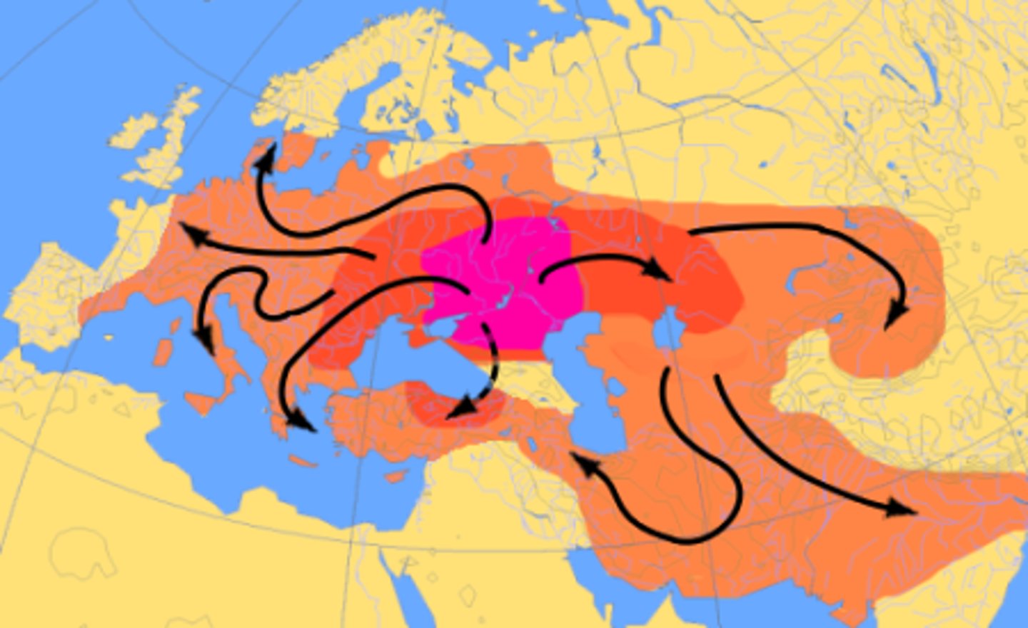
expansion diffusion
spread of a feature from one place to another in an additive process
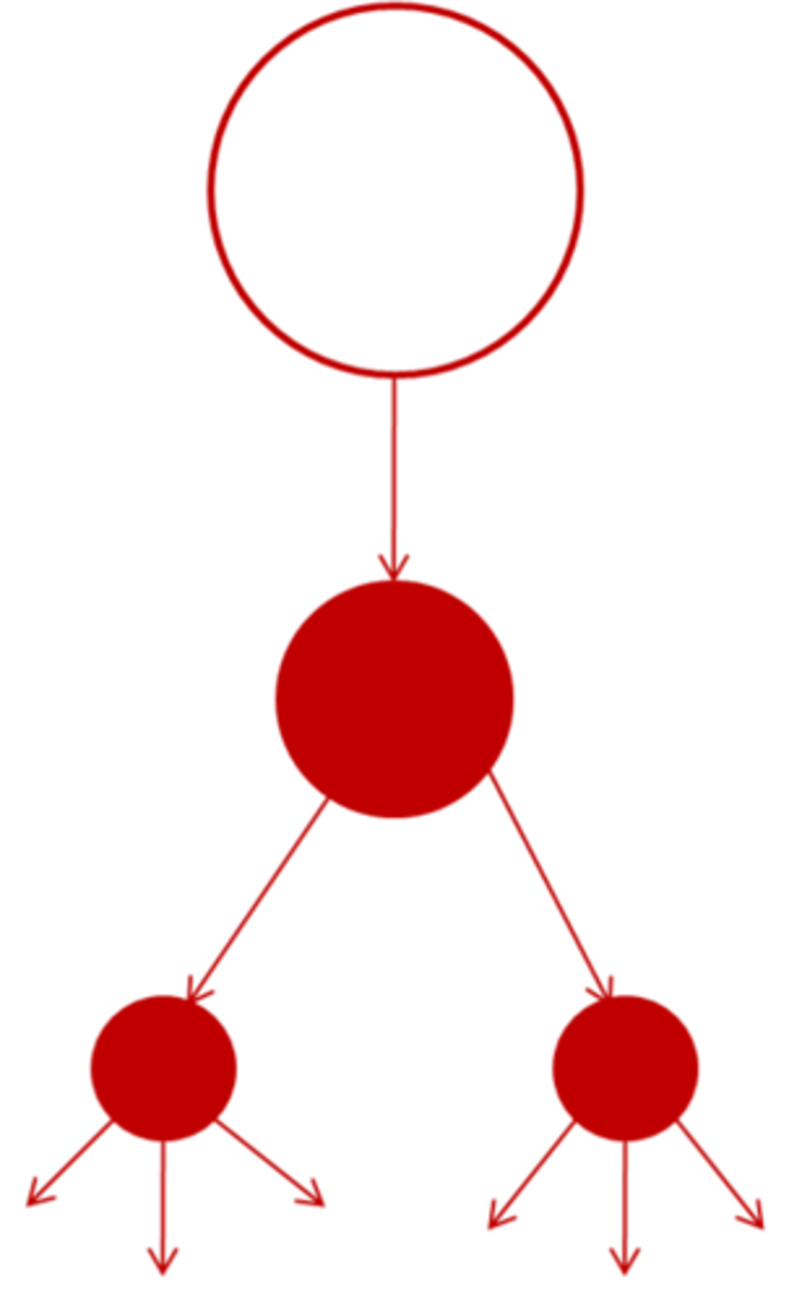
hierarchical diffusion
spread of an idea from persons or nodes of authority or power to other persons or places
contagious diffusion
rapid, widespread diffusion of a characteristic throughout the population
stimulus diffusion
spread of an underlying principle even though a characteristic itself apparently fails to diffuse

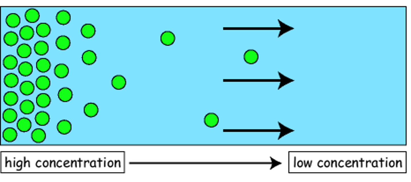
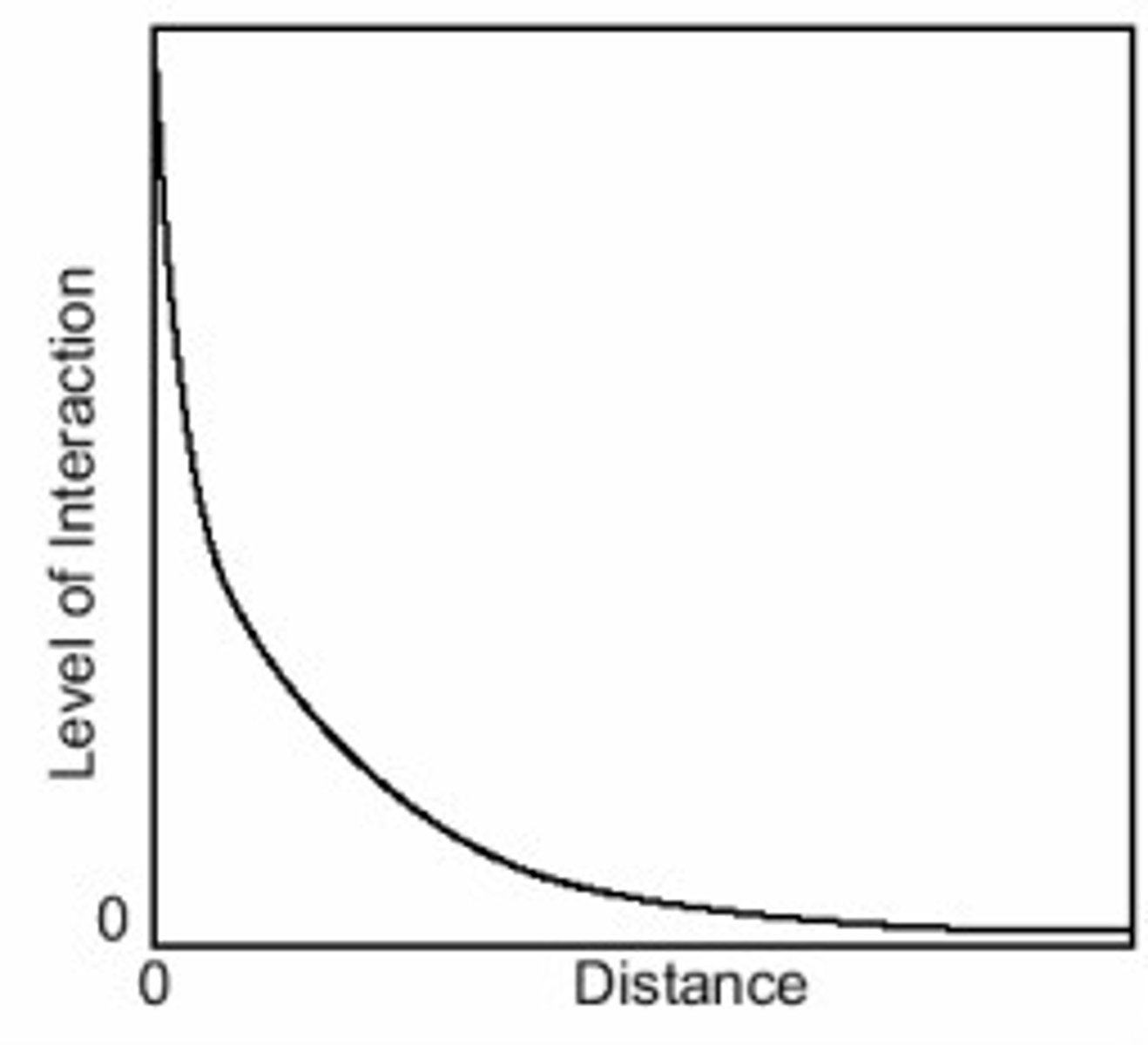
distance decay
phenomenon of contact diminishing with increasing of distance and eventually disappearing
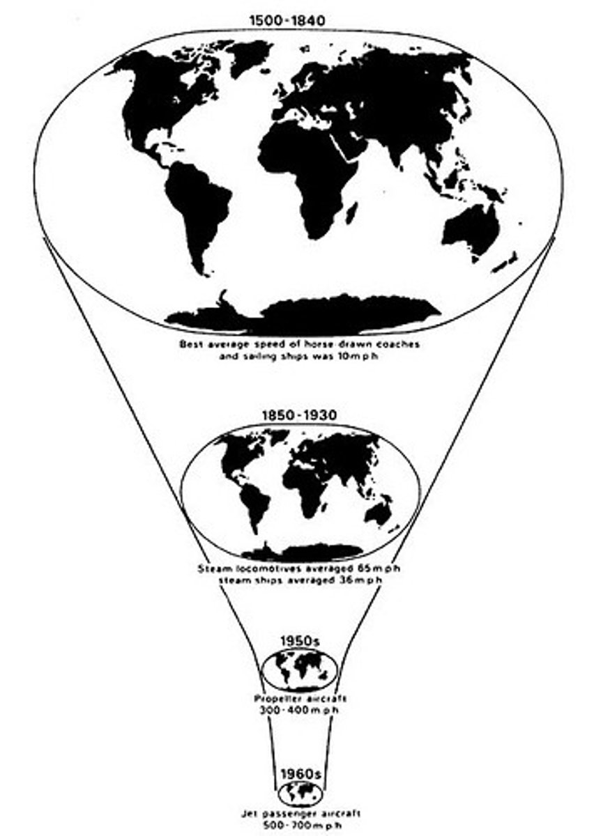
space-time compression
reduction in time it takes for something to reach another place
cultural ecology
the geographic study of human-environment relationships
environmental determinism
belief that physical environment caused social development
possibilism
belief that the physical environment may limit some human actions, but people have the ability to adjust their environment
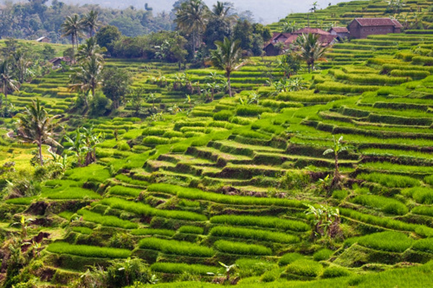
region
an area or division, especially part of a country or the world. Not always having fixed boundaries
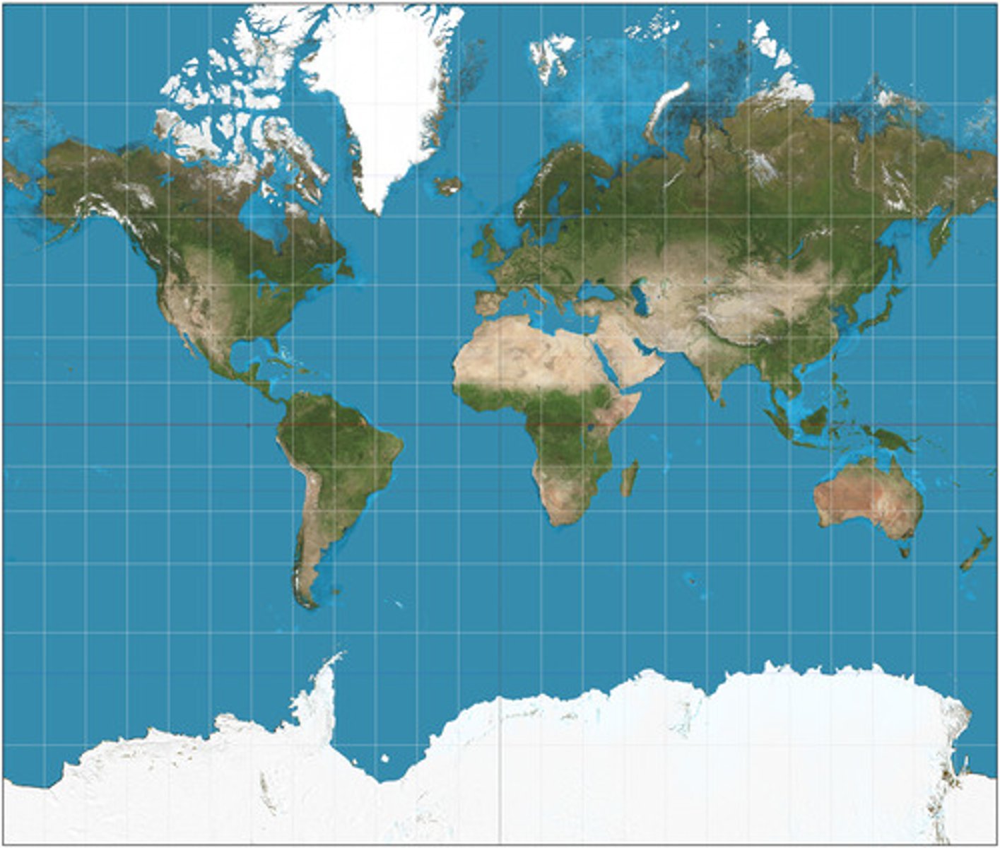
Mercator Projection
is particularly useful for navigation because it maintains accurate direction. Mercator projections are famous for their distortion in area that makes landmasses at the poles appear oversized.
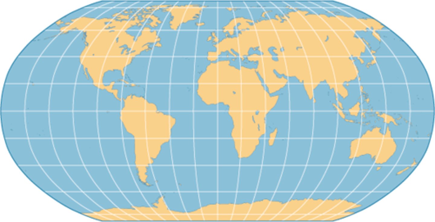
Robinson Projection
A projection that maintains overall shapes and relative positions without extreme distortion. Most classrooms use this projection.
absolute distance/location
measurement using a standard unit of length, actual measured distance to a location or place
connections/connectivity
relationships among people and objects across the barrier of space
friction of distance
a measure of how much absolute distance affects the interaction between two places
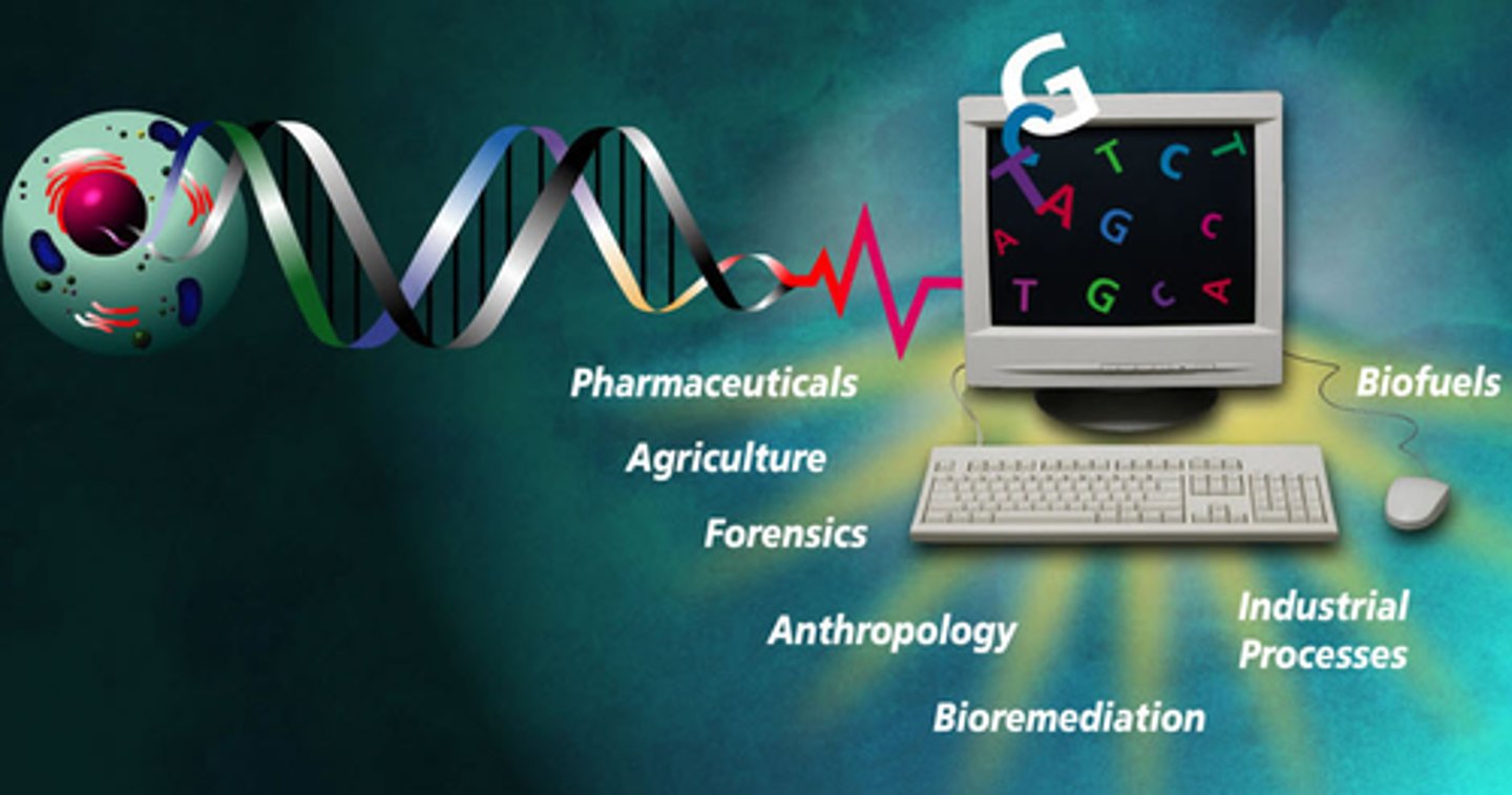
Geospatial Technologies
technology that provides geographic data that is used for personal (navigation), business (marketing), and governmental (environment planning) purposes
gravity model
a model which holds that the potential use of a service at a particular location is directly related to the number of people in a location and inversely related to the distance people must travel to reach the service
hearth
the region from which innovative ideas originate
landscape analysis
a process of studying and describing a landscape (portion of the earth's surface), generally with the goal of assessing the impact of humans on that space. This research is used to provide physical context to concepts of human-landscape interaction and help plan for future land or use restoration.
model
an abstract representation of reality created to simplify complex systems
relative distance/location
measurement of the social, cultural, and/or economic connectivity between places (how connected or disconnected).
space-time convergence
the reduction in the time it takes to diffuse something to a distant place, as a result of improved communications and transportation systems
spatial analysis
examines places and features on Earth's surface along with their characteristics, locations, and relationships with each other to explain human behavior patterns in geographic space
Tobler's First Law
all things are related, but near things are more related than far things