Geography 2
1/76
There's no tags or description
Looks like no tags are added yet.
Name | Mastery | Learn | Test | Matching | Spaced |
|---|
No study sessions yet.
77 Terms
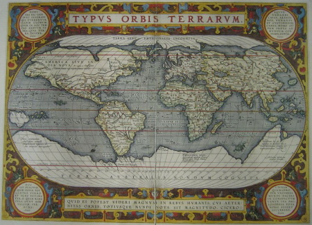
cartographer
a person who draws or produces maps
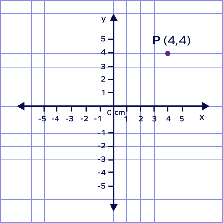
coordinates
form a coordinate bond to
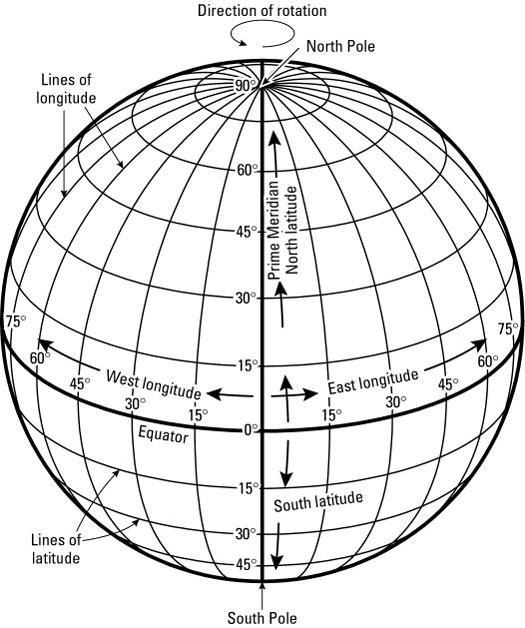
geographic grid
the spherical coordinate system of latitude and longitude used to locate positions uniquely anywhere on the surface of the Earth
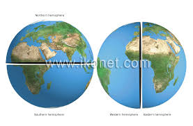
hemisphere
a half of the celestial sphere
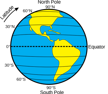
lines of latitude
imaginary lines that divide the Earth
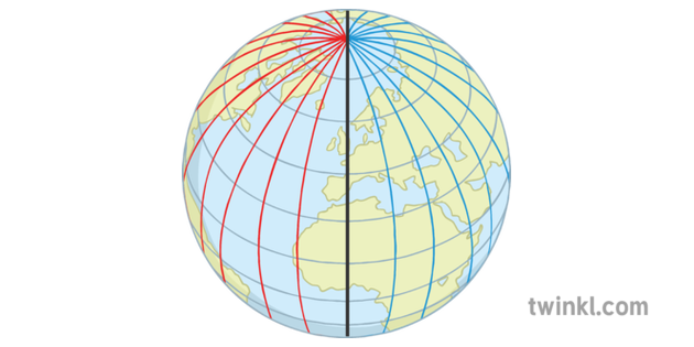
Lines of longitude
imaginary lines that divide the Earth
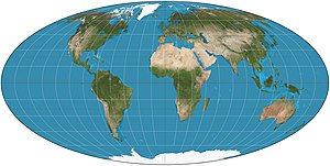
Projection
the representation on a plane surface of any part of the surface of the earth or a celestial sphere
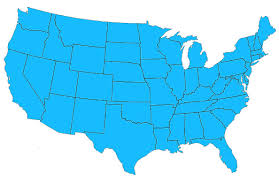
contiguous
sharing a common border; touching
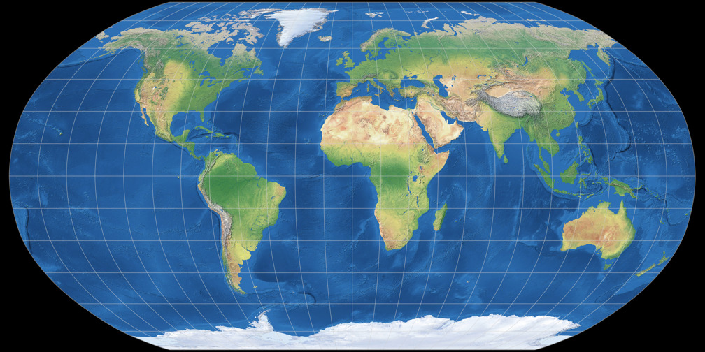
Robinson Projection
Oval shaped map; distorted near the poles
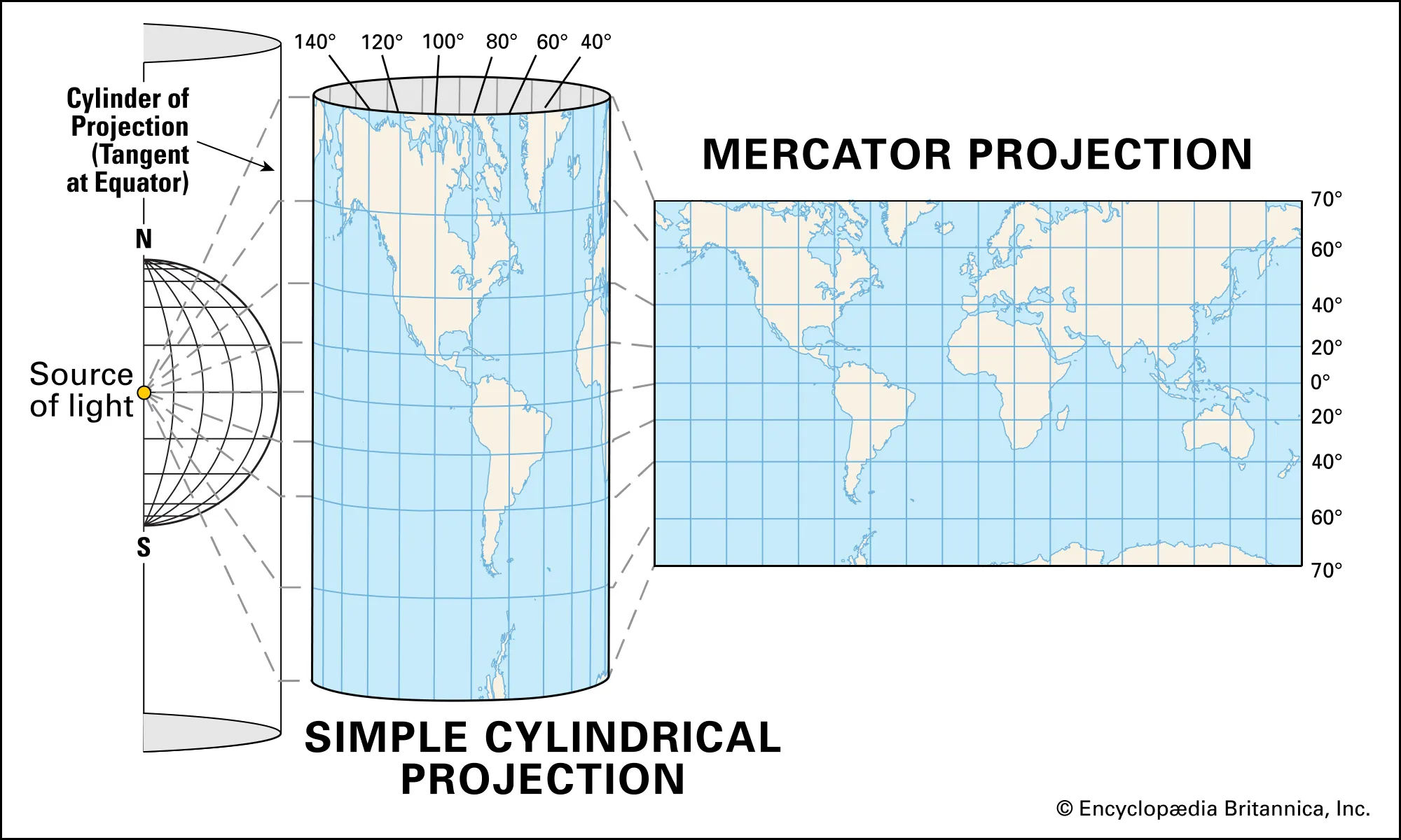
Mercator Projection
cylinder shape;longitude lines look straight;size of land and water distorted
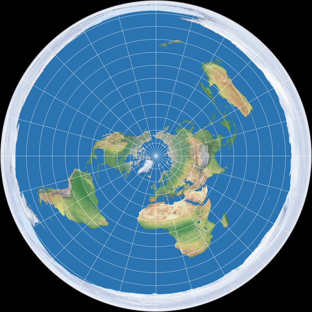
Equidistant Projection
A projection that shows land and water in relation to a central point
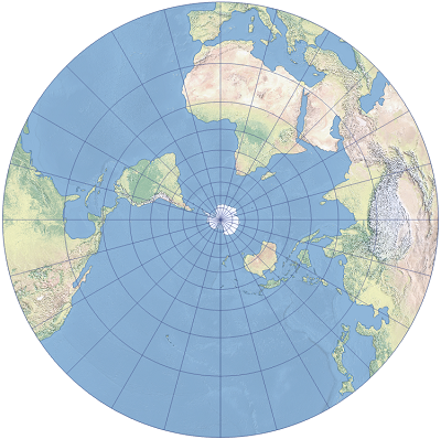
A polar projection
shows land and water in relation to a central point. They show distance and direction accurately. Size and shape become distorted as you move away from the center.
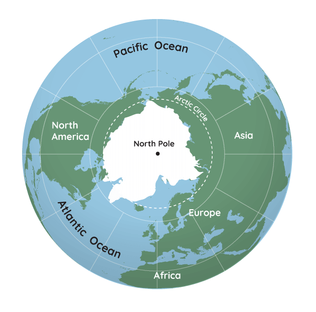
North Pole
he northernmost point on Earth
Artic Circle
an imaginary line drawn parallel to the equator, at 23°28′ S
Artic Region
the area within the Arctic Circle, a line of latitude about 66.5° north of the Equator
Central America
dependency
Greater Antilles
Lesser Antilles
Political map
West Indies
sea
a body of salt water that is part of an ocean, yet is partially enclosed by land
map sketch
a rough drawing of a mental map
Eurasia
a landmass made up of the continents of Asia and Europe
mental map
a map that a person pictures in his or her mind
relative location:
bar scale
highway interchange
interstate highway
mileage
road map
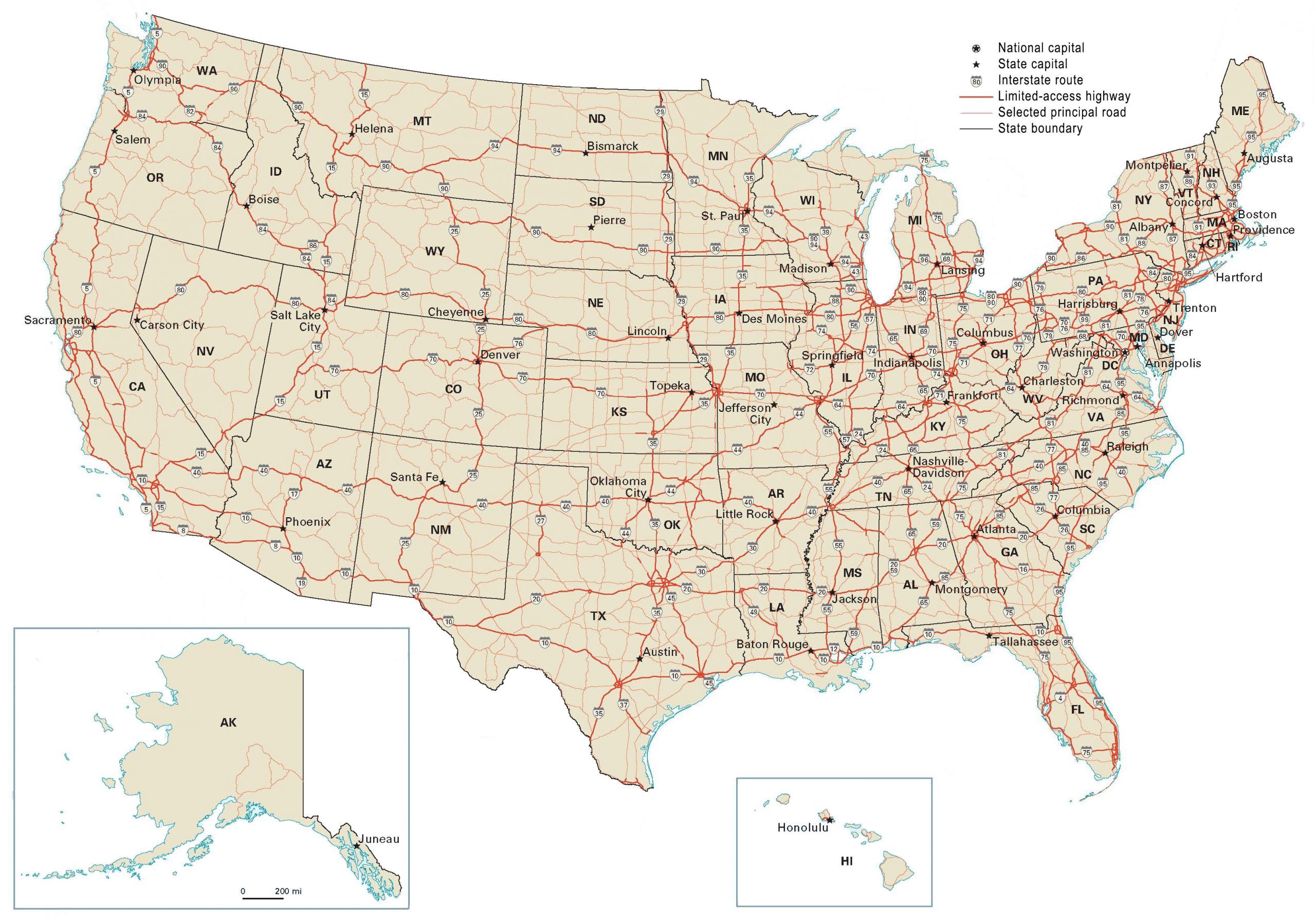
U.S. Highway
East-west roads get even numbers, while north-south roads get odd. The lowest numbers begin in the south and west, and get higher as you progressively move north and east. The most important cross-country interstates get numbers divisible by five, meaning they end in zero or five
air carrier airport
airport that serves planes of commercial (carry people) airlines
Cargo
all freight, except baggage, carried by an airplane
concourse
Gate
An airport terminal entryway used for boarding or leaving an airplane
terminal
a main airport building for passenger services
traffic pattern
a pattern of flight around an airport for arriving and departing aircraft
control tower
a tall building at an airport from which the movements of air and runway traffic are controlled
archipelago
a group of islands
basin
a depression, or dip, in the Earth's surface.
cape
the pelt from the head and neck of an animal, for preparation as a hunting trophy.
elevation
height above a given level, especially sea level.
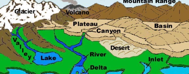
mountain range
a series of mountains or hills arranged in a line and connected by high ground
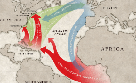
passage
the act or process of moving through, under, over, or past something on the way from one place to another.
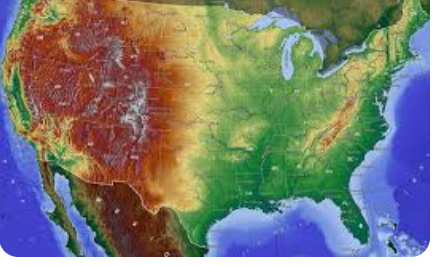
physical map
a type of map that shows the physical features and sometimes elevation of a particular area or region in a two-dimensional format
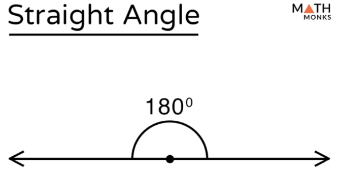
straight
extending or moving uniformly in one direction only; without a curve or bend
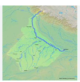
tributary
a river or stream flowing into a larger river or lake
Canadian Shield
the exposed portion of the continental crust underlying the majority of North America
desert
abandon (a person, cause, or organization) in a way considered disloyal or treacherous
gulf
a deep inlet of the sea almost surrounded by land, with a narrow mouth
isthmus
a narrow strip of land with sea on either side, forming a link between two larger areas of land
mountain range
a series of mountains or hills arranged in a line and connected by high ground
artesian basin
a low-lying region where groundwater is cramped under pressure from surrounding layers of rock
cartographer
a person who draws or produces maps
coral
a sedentary coelenterate of warm and tropical seas, with a calcareous, horny, or soft skeleton. Most corals are colonial and many rely on the presence of green algae in their tissues to obtain energy from sunlight
coral reef
a ridge of rock in the sea formed by the growth and deposit of coral.
bright
living out or reflecting a lot of light; shining
elevation
the action or fact of elevating or being elevated
gulf
a deep inlet of the sea almost surrounded by land, with a narrow mouth
mountain range
a group or chain of mountains located close together
physical map
a type of map that shows the physical features and sometimes elevation of a particular area or region in a two-dimensional format
strait
a narrow passage of water connecting two seas or two other large areas of water
Tableland
broad level elevated area
Political map
shows legal, jurisdictional, political, or administrative boundaries
butte
an isolated hill with steep sides and a flat top
desert
abandon (a person, cause, or organization) in a way considered disloyal or treacherous
dune
mouth
orifice through which food and air enter the body
physical map
a type of map that shows the physical features and sometimes elevation of a particular area or region in a two-dimensional format
river system
A river system is also called a drainage basin or watershed
source
a place, person, or thing from which something comes or can be obtained
tributary
a river or stream flowing into a larger river or lake.
West Indies
large group of islands between North America & South America
region