representing the surface of the earth (exer #1)
 Call Kai
 Learn
Learn Practice Test
 Spaced Repetition
 Match
Match Flashcards
 Knowt Play
1/16

Earn XP
Description and Tags
🍂🌻
Name | Mastery | Learn | Test | Matching | Spaced | Call with Kai | Chat |
|---|
No analytics yet
Send a link to your students to track their progress
17 Terms
planimetric map
TYPES OF MAP:
simplest and most common type of map;
contains the location of important geographic and cultural features like towns, cities, rivers, & roads

political map
TYPES OF MAP:
shows political boundaries surrounding countries, cities, & states

topographic map
TYPES OF MAP:
shows elevation through contour lines;
using elevation plotted on this map, one can properly delineate geomorphological features like mountains, valleys & ridges

bathymetric map, topographic
TYPES OF MAP:
similar to ____ map, this utilize contour lines to represent depth, or elevations if you are viewing it from the sea floor, at the bottom of a body of water;
trenches, ridges, & underwater plateaus can be viewed using this

geologic map, lithologies
TYPES OF MAP:
shows the distribution of rock types (also called _____) as they are seen on the surface of the earth;
various colors & symbols are used to represent these rocks and their spatial distribution within the contained area;
essential for uses in mineral exploration, resource estimation, & hazard assessment

map title
PARTS OF A MAP:
particular portion of the earth represented;
may also include the type of map (ex. Topographic Map of Angat)
legend
PARTS OF A MAP:
list which defines or explains the symbols appearing in the map
scale bar
PARTS OF A MAP:
graphical representation of the relation between the map distance & the actual distance of the area on the map
compass arrow or north arrow
PARTS OF A MAP:
direction of the north & other main points of the compass
region or series name
PARTS OF A MAP:
____ where the featured area belongs to
index / quadrangle name / sheet name
PARTS OF A MAP:
indirect shortcut pertaining to the name of the map as listed in the database of the source
coordinate grid system / latitude & longitude
PARTS OF A MAP:
provides measurements on degrees, minutes or seconds to pinpoint the exact location of features using latitude & longitude
projection, reference ellipsoid / reference datum
PARTS OF A MAP:
transformation of latitude & longitude of a sphere into a plane;
mathematically defined space that approximates a geoid;
a standard position or level that measurements are taken from
magnetic declination or deviation
PARTS OF A MAP:
angle on the horizontal plane between the magnetic north & true north
true north - where the lines of longitude meet at the geographic pole)
magnetic north - where a compass needle points
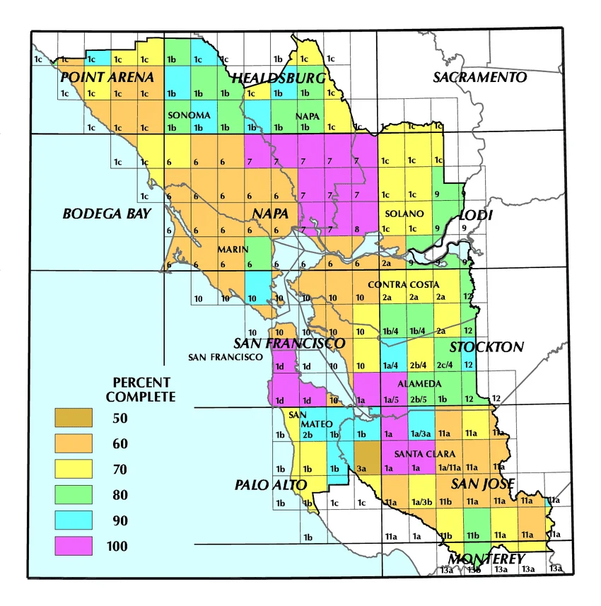
index map / index to adjoining sheets or quadrangle location
PARTS OF A MAP:
position of the map with respect to adjoining sheets
source / credit / metadata
PARTS OF A MAP:
states the source of the map;
gives validity to the map (may include the publishing date & publisher)
map scale
this represent the relationship of the distance on the map with that of the actual distance;
usually noted as ratios (i.e. 1:500) or illustrated as scale bars
both sides of the ratio represent the same units