2 Representing the world spatially
 Call Kai
 Learn
Learn Practice Test
 Spaced Repetition
 Match
Match Flashcards
 Knowt Play
1/45

There's no tags or description
Looks like no tags are added yet.
Name | Mastery | Learn | Test | Matching | Spaced | Call with Kai | Chat |
|---|
No analytics yet
Send a link to your students to track their progress
46 Terms
Model connecting signs, thoughts and reality
Semantic triangle
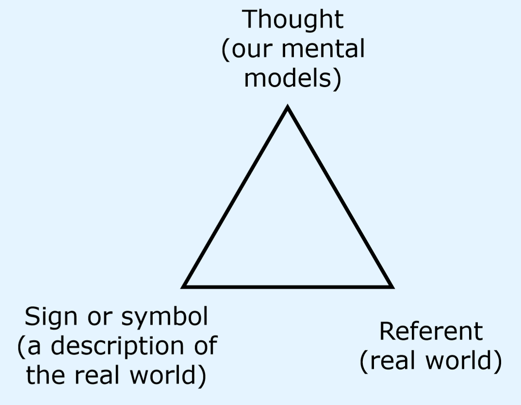
What does the semantic triangle explain?
We always abstract from the real world and abstractions are mediated by thought. These representations may be influenced by culture, experience or language
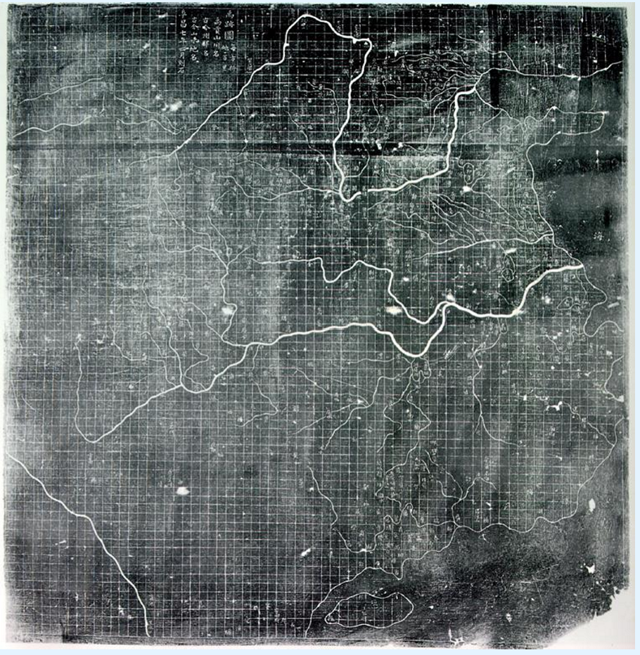
What do the historical examples show us?
There are many ways of representing geographic information
Ancient Chinese map carved into stone
Grid
Yu Ji Tu
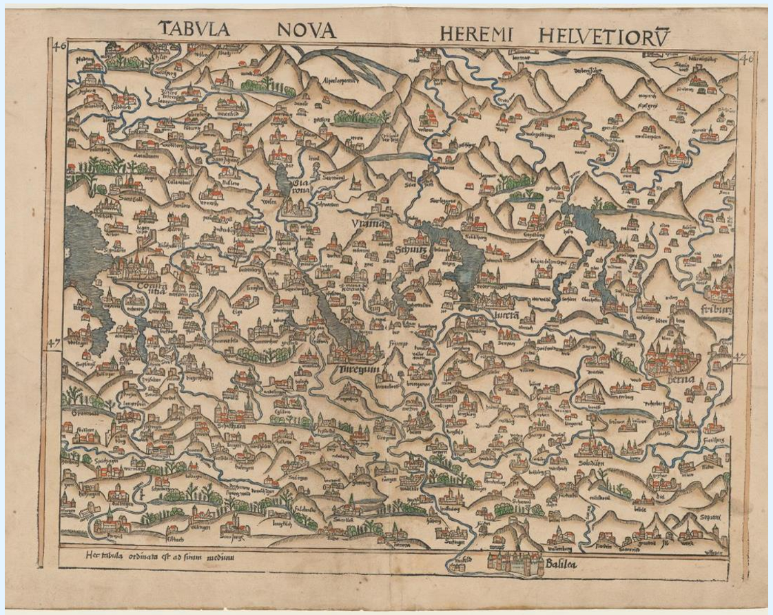
Printed Swiss map
South at the top
Tabula Nova Heremi Helvetorium
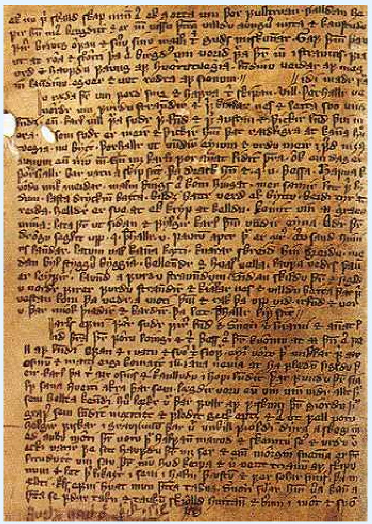
Written text describing Norse exploration of North America using place names, routes and descriptions of places
Icelandic saga
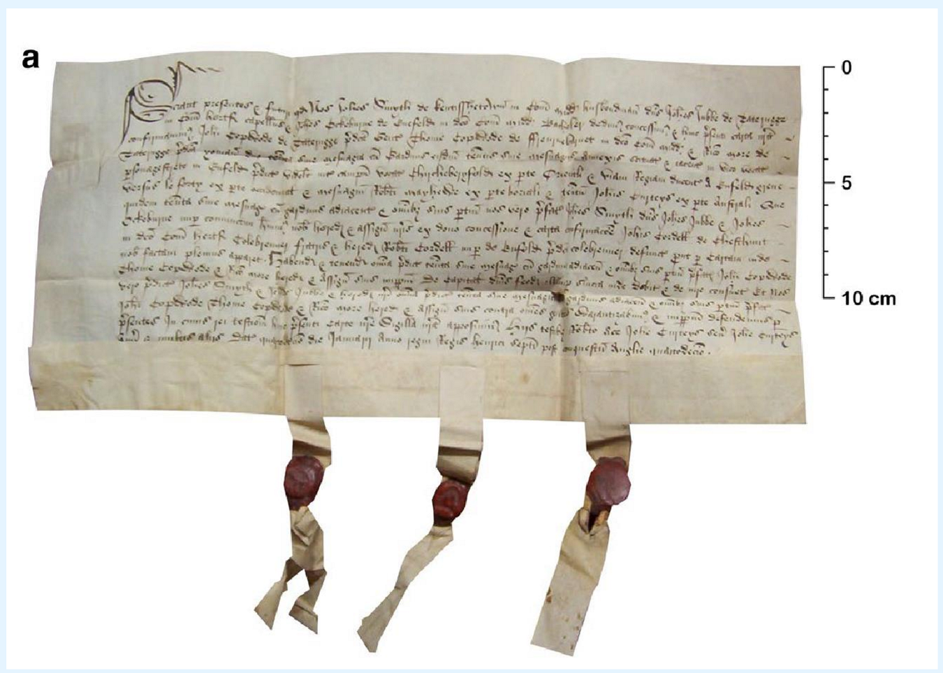
Document describing ownership of a land parcel
Property deeds on sheepskin
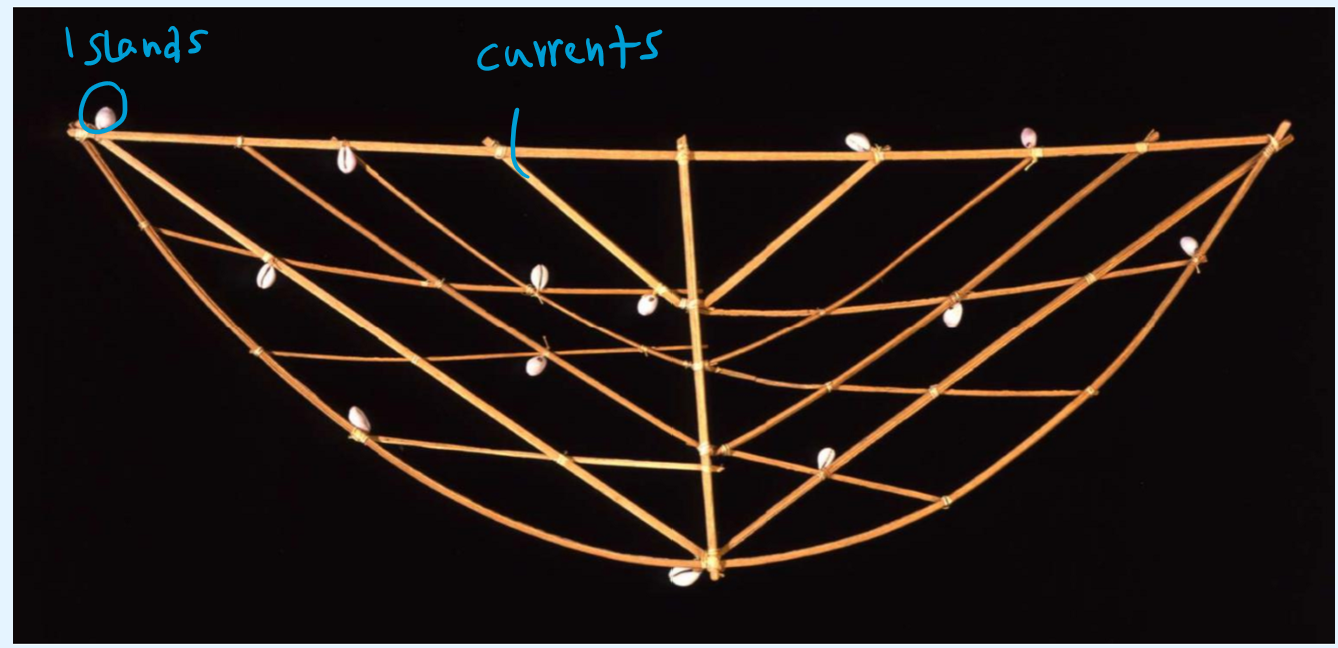
Marshallese charts tracking island locations, currents and swells of the Pacific, used to memorise the locations beforehand
Rebbelib
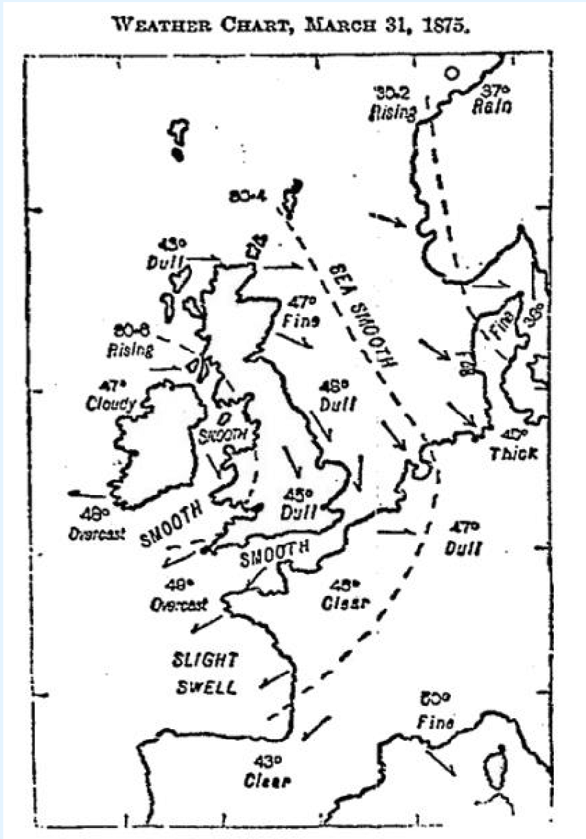
Newspaper print describing the previous day’s weather with isobars
Early weather map
What do these representations have in common?
communicate geographic information
abstract real world with signs or symbols
influenced by culture and mental models
decisions were made to decide how to represent what
How do these representations differ?
intents and purposes
What two key choices have to be made when describing objects?
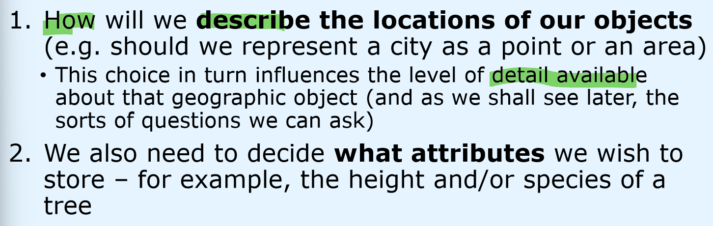
Multidimensional building blocks of geographical information
Atoms of geographic data a = < l, t, d >
What are the two conceptual models of space?
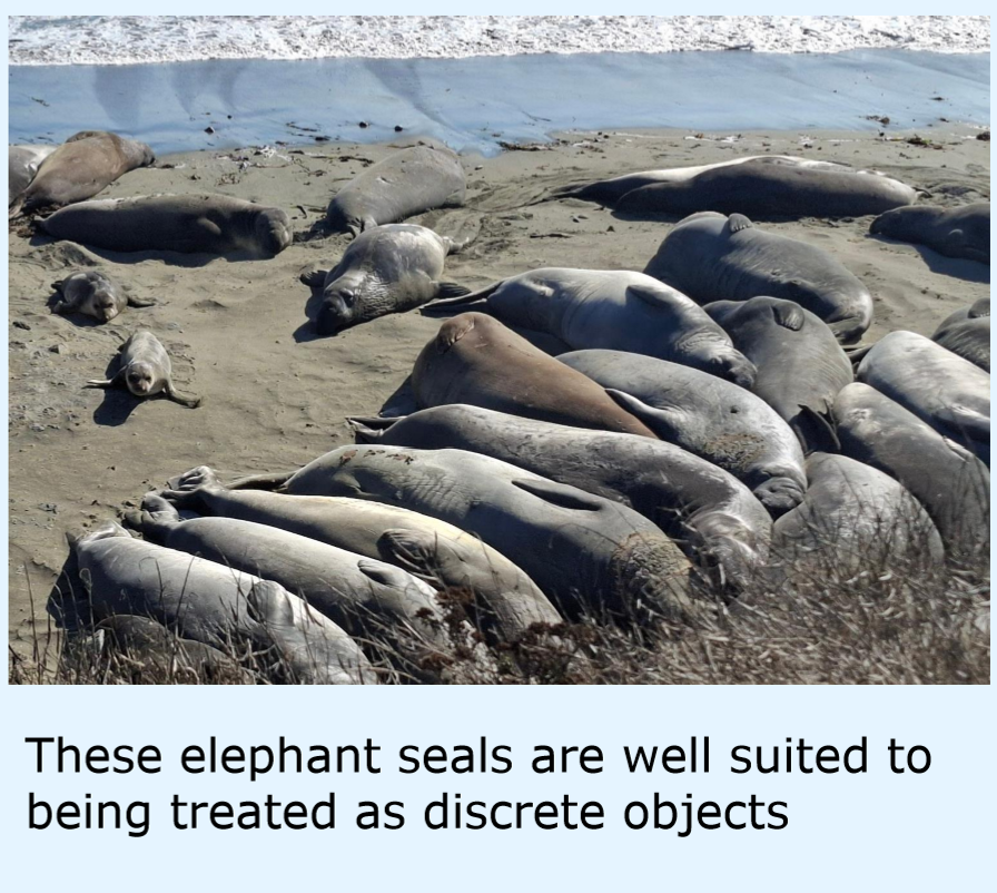
Discrete objects
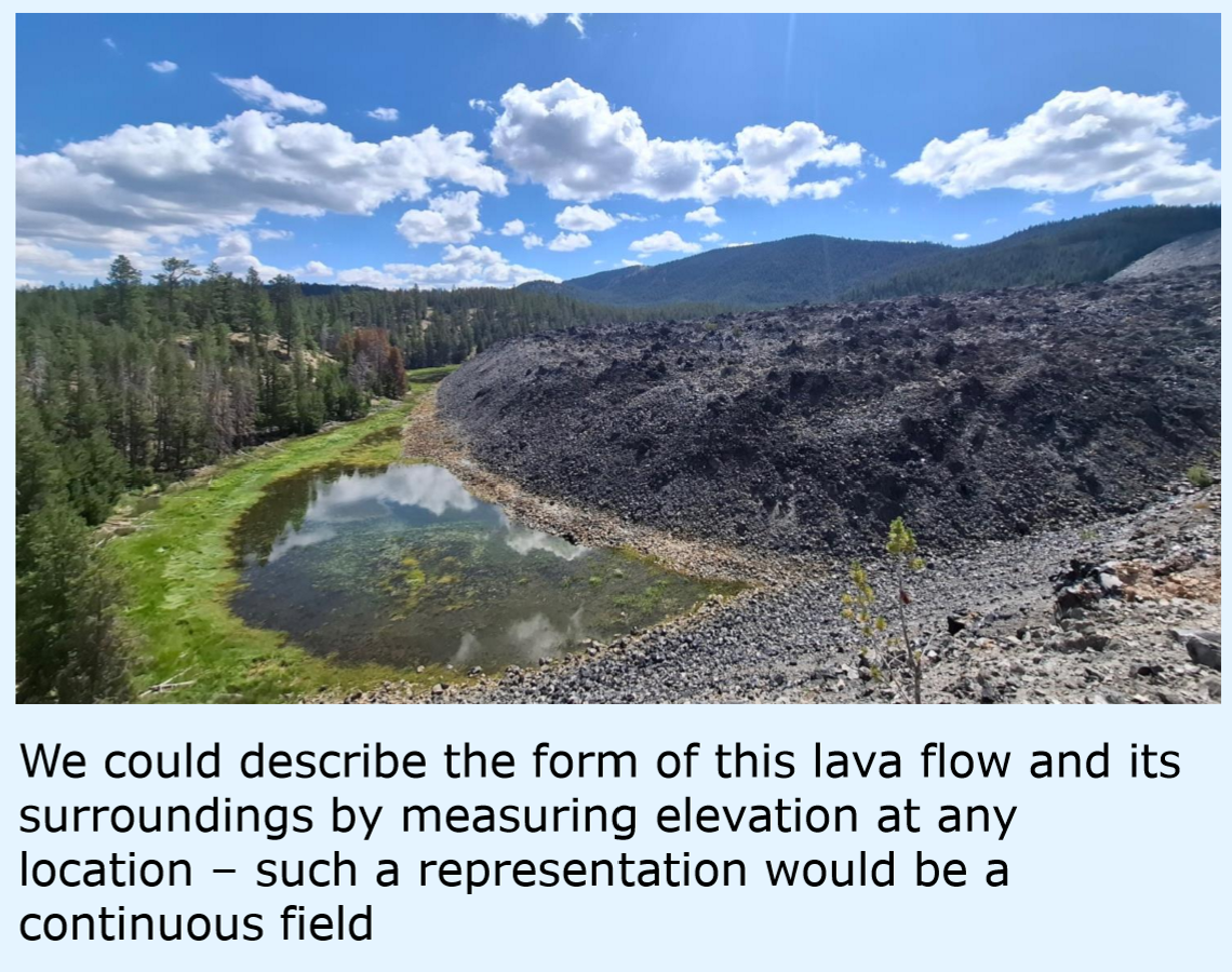
Continuous fields
What do conceptual models help us with?
understand ways of describing space
What is the limit of conceptual models?
no direct solution for digital representation
Features with clear,
definable boundaries
Discrete objects
Geographic phenomena measurable everywhere
Continuous fields
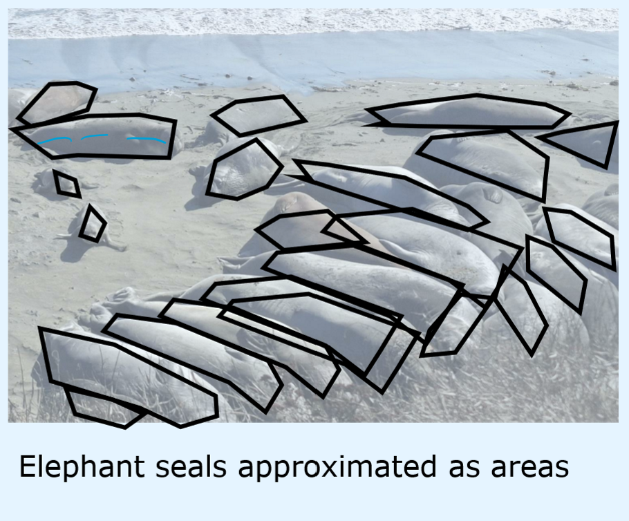
Conceptual model for counting distinct entities
Discrete objects
Conceptual model for elevation or temperature
Continuous fields
Core triplet elements of geographic data
Location
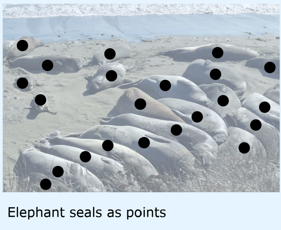
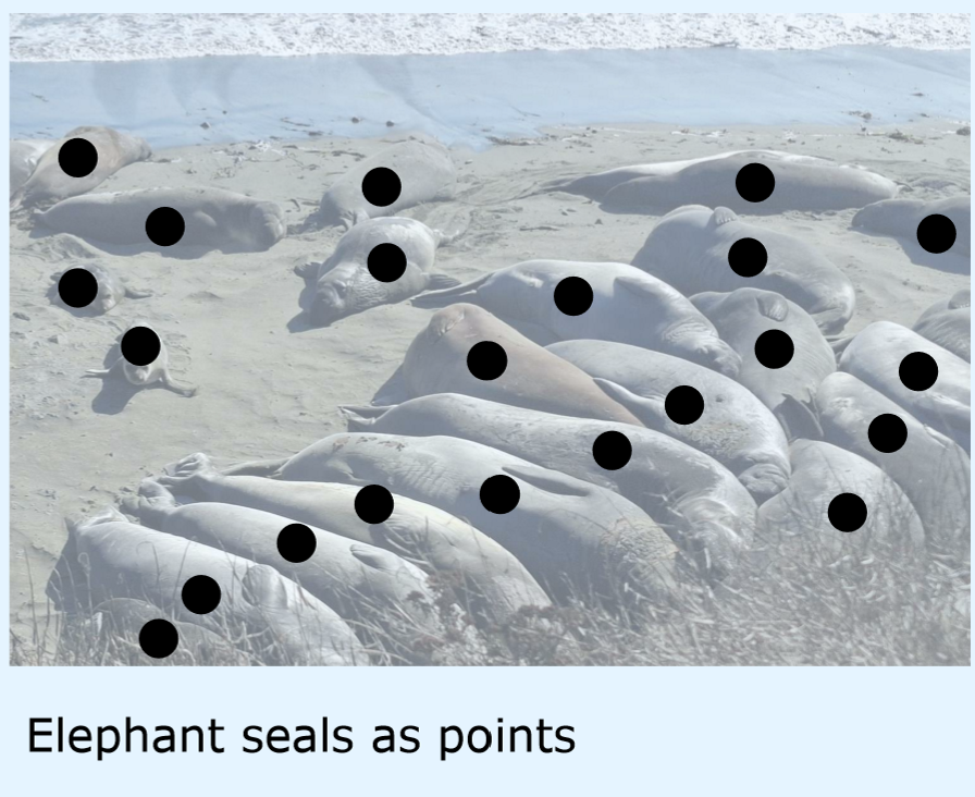
Dimensionality of point data features
0D
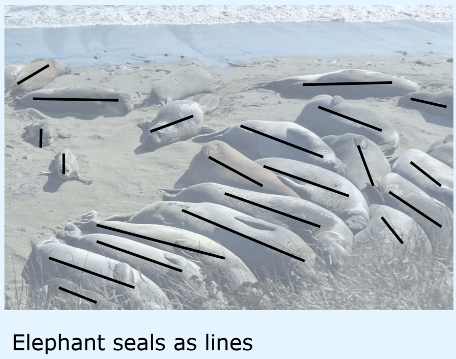
Dimensionality of line data features
1D
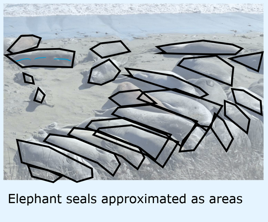
Dimensionality of area or polygon data
2D
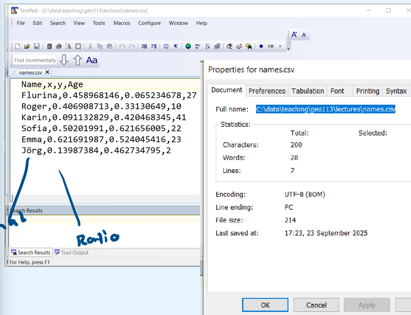
Attribute type used for IDs or names
Nominal
Attribute type with true or false choices
Binary
Attribute type with naturally ranked values
Ordinal
Attribute type where differences can be calculated
Interval
Attribute type that can be ranked and used to calcualate percentiles
Ratio
Data structure dividing space into regular cells with a given resolution, each cell has values e.g. height or RGB values
Raster
Data structure storing discrete objects as points, liner or areas, each object has at least one attribute
Vector
Which data structure is used for continuous fields?
raster
How to model choosing routes?
data structure
attributes
vector: discrete objects (lines)
attributes: nominal (road names or IDs), ratio (speed limits)
How to model managing and dispatching resources?
data structure
attributes
vector: discrete objects (points representing accident, helicopter and hospital locations)
attributes: vary, nominal (names of those involved), ordinal (severity of injuries)
How to model managing and dispatching resources?
data structure
attributes
raster: continuous field
attribute: ordinal (priority of sites)
How to model managing and dispatching resources?
data structure
attributes
raster: continuous field
attributes: ratio (measure spectral signals)
How to model monitoring deforestation?
data structure
attributes
continuous field or discrete object
continuous field: total deforestation
discrete object: identifying patches
How can you add the third dimension?
represent elevation with raster
add attributes to represent information about volume
(simplified)
Human-readable aspatial data file format
CSV
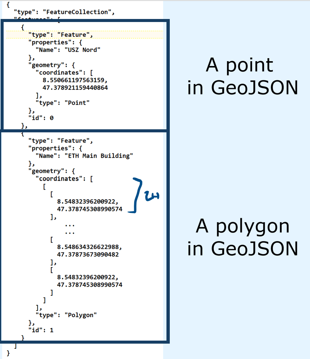
Human-readable vector data file format
GeoJSON
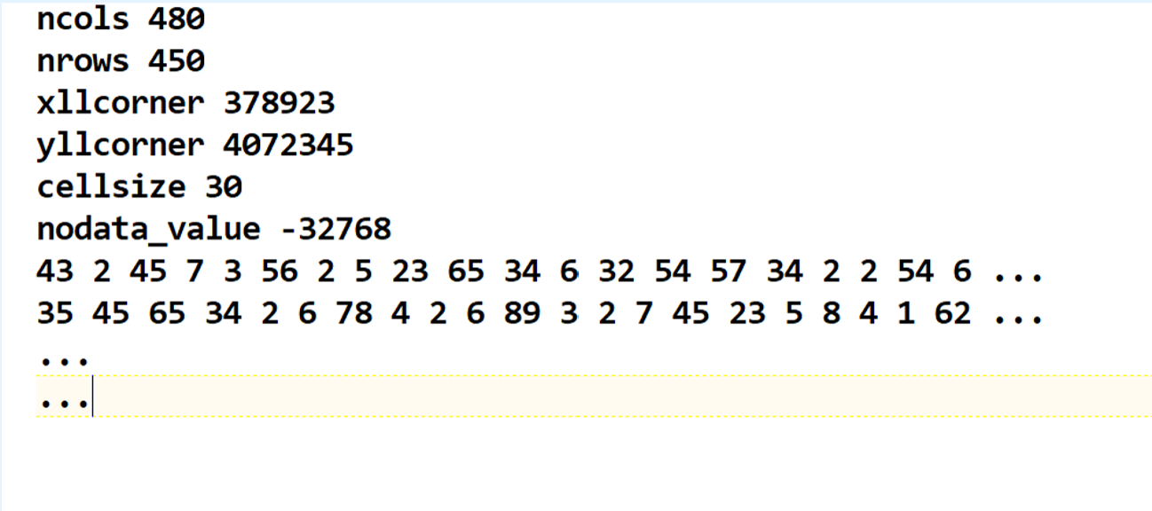
Human-readable raster format with a text header
ESRI ASCII raster
Proprietary vector format (from ESRI) requiring three files
Shapefile
Non-human-readable raster format for remote sensing, used for sharing raster data
GeoTIFF
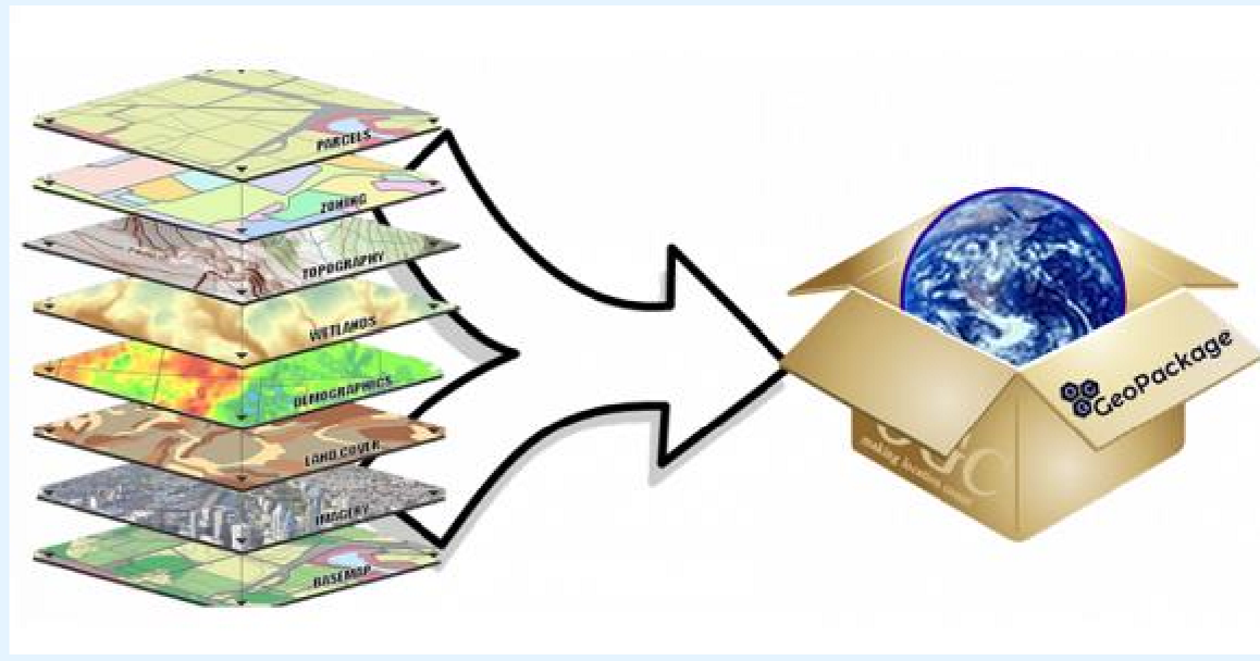
Database format storing both vector and raster, default in QGIS
GeoPackage
Which files are exclusively for raster data?
ESRI ASCII
GeoTIFF
Which files are exclusively for vector data?
Shape files
GeoJSON