Unit 1: Thinking Geographically
1/25
There's no tags or description
Looks like no tags are added yet.
Name | Mastery | Learn | Test | Matching | Spaced | Call with Kai |
|---|
No study sessions yet.
26 Terms
Geography
The study of Earth's physical features and how people interact with them.
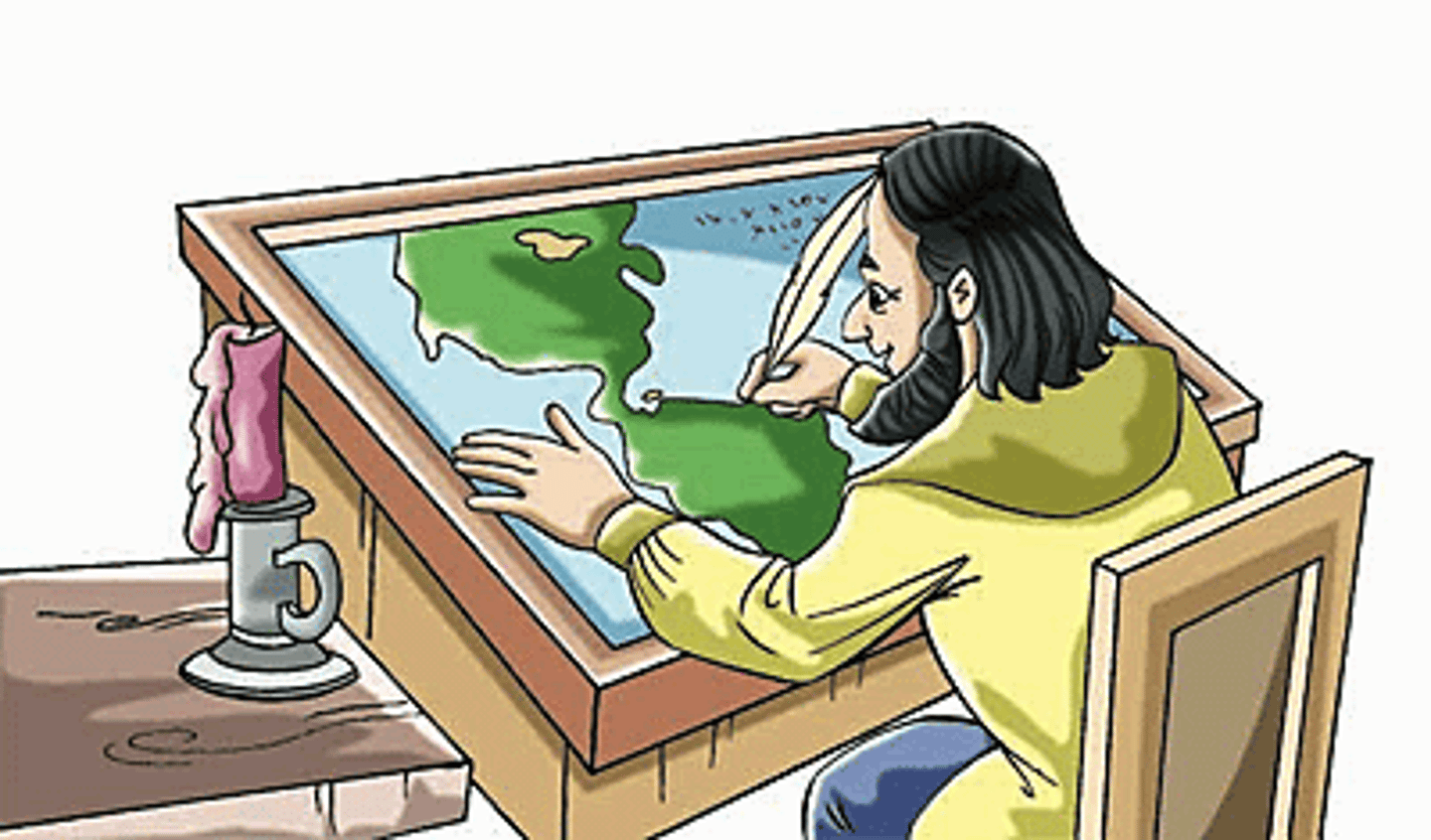
cartography
the science or practice of drawing maps.
mental map
A representation of a geographic space or area based on personal understanding of that area.
physical maps
Maps that shows landforms like mountains, rivers, and deserts.
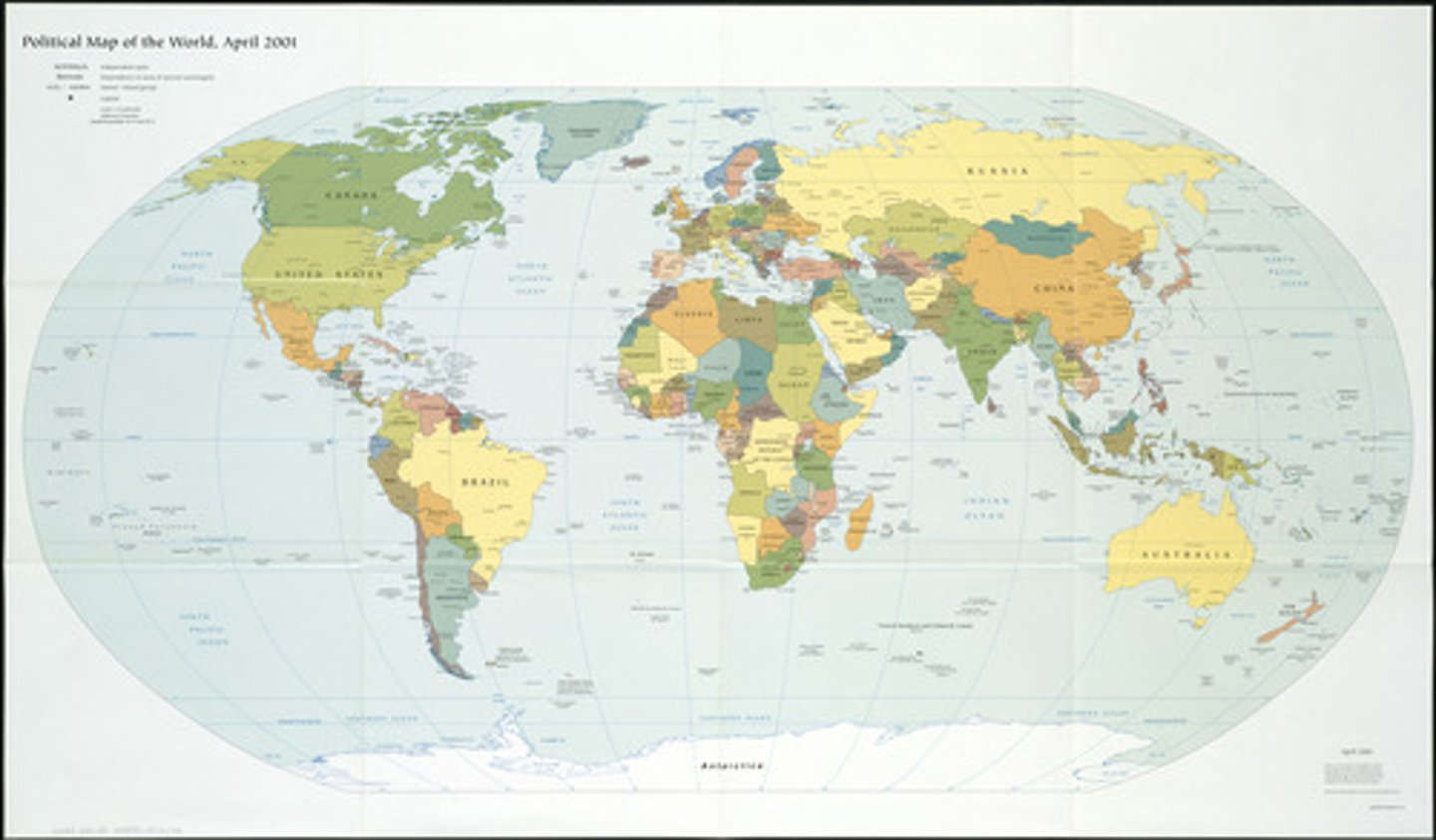
political maps
Maps that shows borders, countries, and cities.
region
An area defined by common features like culture, language, climate, or geography.
reference map
A map that show general information about places, including boundaries, cities, and major physical features.
thematic map
A map that focus on specific topics or themes, such as population density, climate, or economic activity.
formal region
an area defined by one or more shared characteristics, such as language, culture, climate, or political system.
functional region
an area defined by a central point or node that has a strong influence on surrounding areas.
perceptual region
a geographic area defined by people's shared perceptions, feelings, and attitudes about a place, rather than by any objective criteria.
megacity
a very large city, typically one with a population of over ten million people
map projection
A way to show the round Earth on a flat surface, which causes distortions.
distortion
A change in shape, size, distance or direction that happens when representing Earth on a map.
map scale
Shows the relationship between distances on a map and real-world distances.
urban
relating to, or characteristic of a town or city.
Rural
relating to, or characteristic of the countryside rather than the town.
population density
The number of people living per unit of area.
place
A specific point on Earth distinguished by particular physical and human characteristics.
site
The physical characteristics of a place.
situation
A place's location relative to other places.
quantitative Data
Information that can be measured and written down with numbers (e.g., population statistics).
qualitative Data
Descriptive information that is not measured in numbers (e.g., interviews, descriptions of places).
bias
Reflecting prejudice in favor of or against one thing, person or group, reflecting a certain perspective or opinion, often unintentionally.
Environmental Determinism
The idea that the environment shapes human behavior and culture to a high degree.
Environmental Possibilism
The idea that humans are highly adaptable to their environment and can successfully change it according to their needs.