Geography Part TWO Vocabulary Words
5.0(8)
5.0(8)
Card Sorting
1/33
Study Analytics
Name | Mastery | Learn | Test | Matching | Spaced | Call with Kai |
|---|
No study sessions yet.
34 Terms
1
New cards
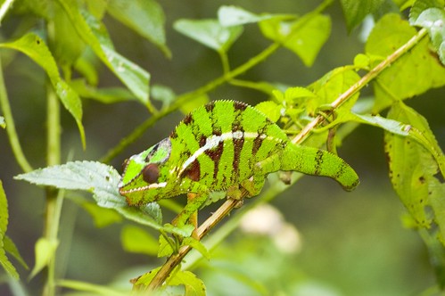
adapt
to change in order to fit new conditions
2
New cards
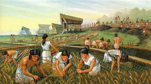
agriculture
the practice of farming, raising animals and growing crops.
3
New cards
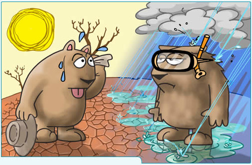
climate
local weather conditions of an area over time like temperature, precipitation, humidity, sunshine, wind
4
New cards
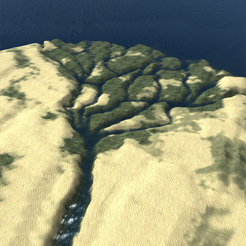
delta
a low, watery land formed at the mouth of a river. Formed from the silt, sand, and small rocks that flow downstream in the river and deposit in the delta.
5
New cards
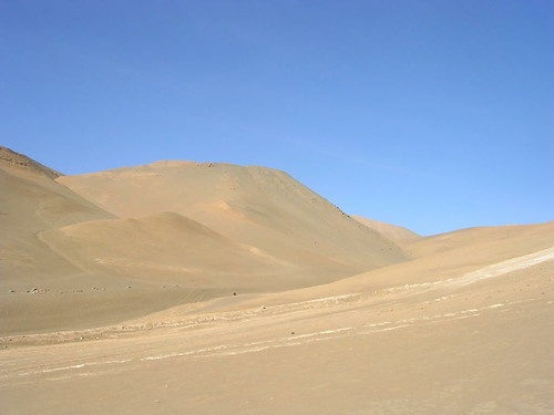
desert
an area with less than 10 inches of rain per year and a rocky, sandy surface.
6
New cards
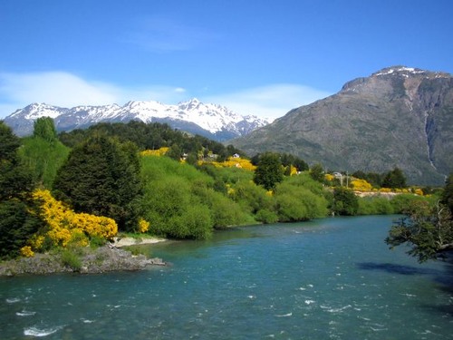
environment
the geographic characteristics that surround and affect the way people live.
7
New cards
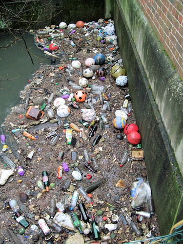
environmental concerns/issues
interests people have about the care of the natural environment
8
New cards
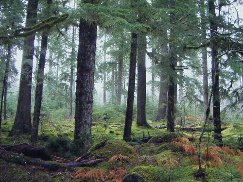
forest
an area where coniferous and deciduous trees are the most dominant plant. Deciduous trees share their leaves in the fall. Coniferous trees include trees that have pinecones such as fir and spruce.
9
New cards
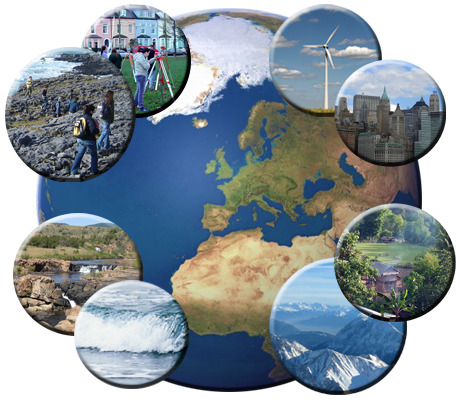
geographic characteristics
things that distinguish one place from another. These are divided into two groups: physical and human.
10
New cards
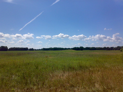
grasslands
flat or rolling areas of land covered with grasses If located in North America, they are called prairies. In South America they are called pampas.
11
New cards
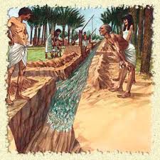
irrigation
the act of taking water from a source and directing it to an arid or dry region in order to water crops
12
New cards
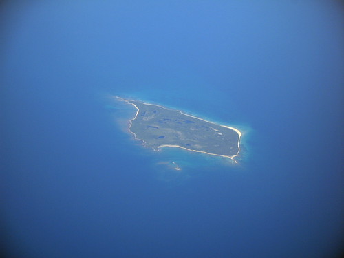
island
a piece of land that has water all around it
13
New cards
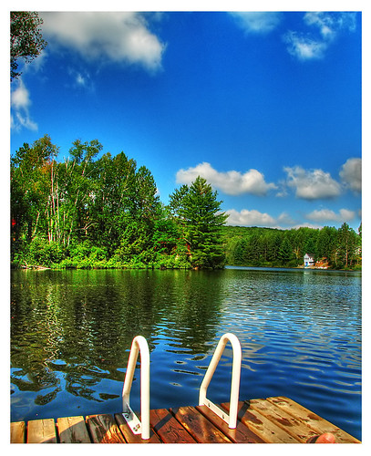
lake
a body of salt or fresh water surrounded by land
14
New cards
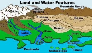
landforms
the different shapes of Earth's surface - mountains, hills, plateaus, plains, valleys, peninsulas, and islands are examples of landforms
15
New cards
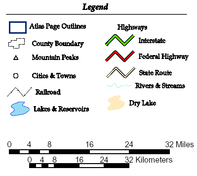
legend/key
explains the meaning of the symbols on the map
16
New cards
migrate/migration/immigration
to move from one country or region to another with the intent of staying at the place for a long period of time.
17
New cards
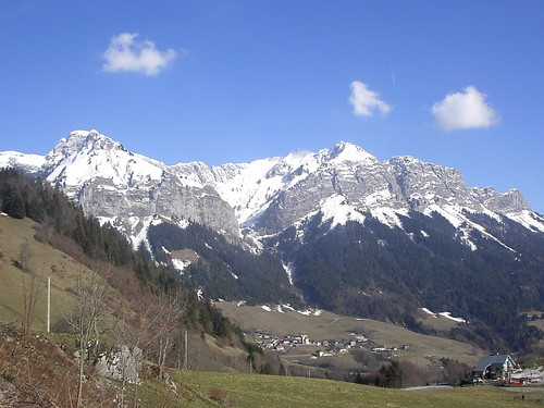
mountain
a land form that is very high and steep; They are usually wide at the bottom and rise to a narrow peak or ridge
18
New cards
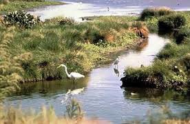
natural environment
the physical setting of a place including the land, air ,water, plants, and animals
19
New cards
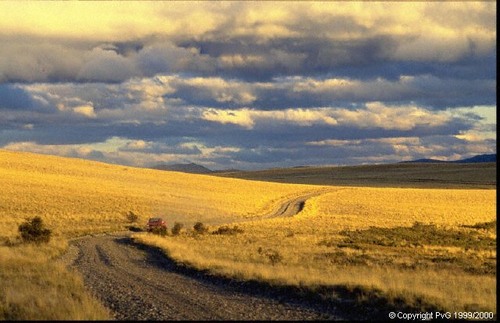
pampas
the vast fertile grassy plains of southern South America
20
New cards
peninsula
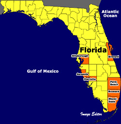
a body of land surrounded by water on three sides
21
New cards
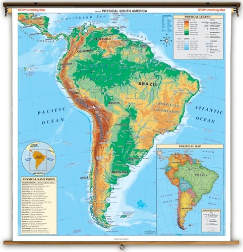
physical map
a map that shows landforms
22
New cards
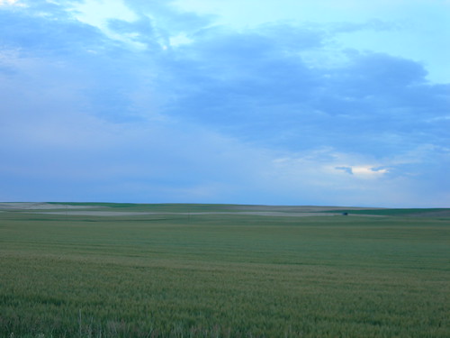
plains
a large area of flat land
23
New cards
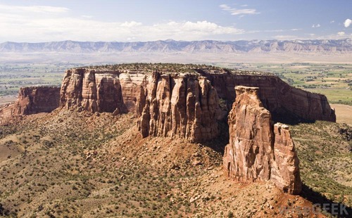
plateau
high, flat land
24
New cards
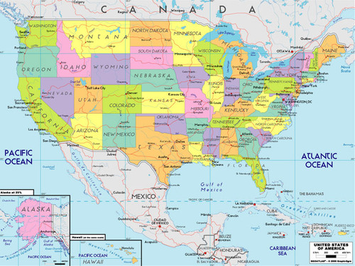
political map
a map that shows the names and borders of countries
25
New cards
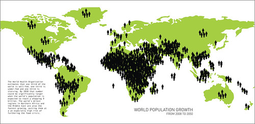
population density
the number of people living per square mile
26
New cards
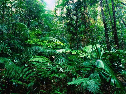
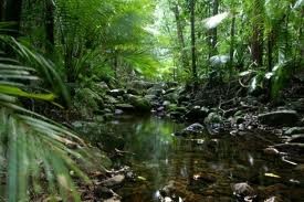
rainforest
a dense either tropical or temperate forest that receives lots of rain year round
27
New cards
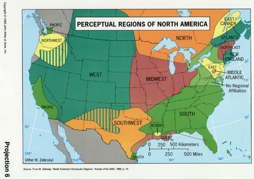
region
a broad geographic area
28
New cards
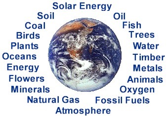
resources
things that people can use, such as oil, lumber and water that come from nature
29
New cards
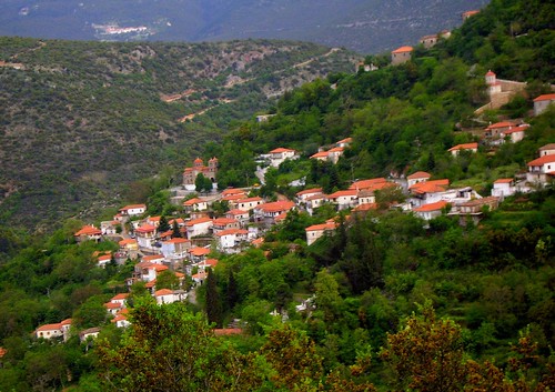
settlement
an arrangement of places where people live, including rural and urban centers
30
New cards
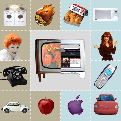
Technology
skills, methods, tools, machines, and other things used to perform activities. Technology changes over time and affects the way we live, work and play
31
New cards
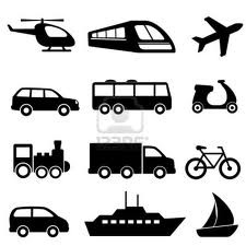
transportation
ways goods and people move from place to place thereby linking communities
32
New cards
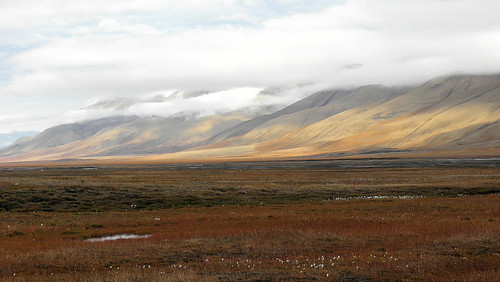
tundra
a cold, dry region covered with snow for more than half the year, vast treeless plain where the topsoil is always frozen
33
New cards
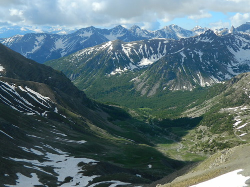
valley
area of low land with mountains or hills on either side, often having a river or stream along the bottom.
34
New cards
vegetation
all the plant life in an area
