1.2.2 Study - Maps and More
1/22
Earn XP
Description and Tags
environmental science
Name | Mastery | Learn | Test | Matching | Spaced |
|---|
No study sessions yet.
23 Terms
Planimetric map
A map that shows the geographic location of features on a (flat plane) horizontal plane but does not show the elevation.
Planimetric Useful for
two-dimensional relationships of points
Thematic map
A map that conveys specific information about an area, usually with colors, patterns, or symbols.
Thematic Useful for
geographic distribution of other kinds of variables, such as vegetation or soil types
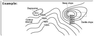
Topographic map
A map depicting the features and elevation of the land surface./The features and elevation of the land surface.
topographic Useful for
portrays the vertical dimension
Contour lines
Lines on a topographic map connecting points of equal elevation.
Loops
a process where the end product of a system influences its own initial state, either amplifying or diminishing the original change
Steep slopes
inclined land
Gentle slopes
slight change in elevation
relief
The difference in elevation between the high and low points of a landscape.
Remote sensing
The process of gathering information about land and water through images taken at a distance.
Infrared
Light that is redder than the red visible to humans. This wavelength of light transfers heat energy.
Planimetric maps are useful for ____ trips:
road
Topographic maps are useful for visualizing:
the lands topography
Thematic maps are for organizing:
info about specific variable
todays maps use this for collecting data for maps:
remote sensing
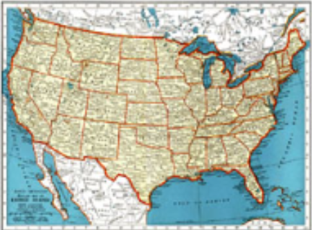
what kind of map is this?
planimetric
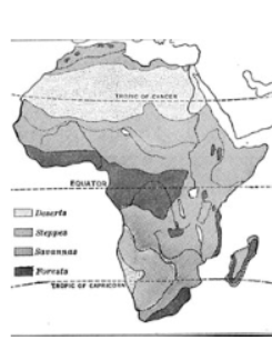
what kind of map is this?
Thematic
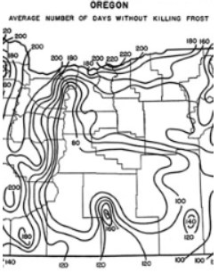
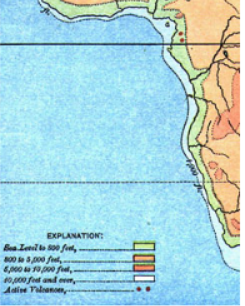
what kind of map is this
Thematic
what kind of map is this
topographic
what kind of map is this
topographic