AP human geography chapter 1, KI 1
 Call Kai
 Learn
Learn Practice Test
 Spaced Repetition
 Match
Match Flashcards
 Knowt Play
1/24

Earn XP
Description and Tags
Test Wednesday over ALL key issues, don't mainly study this one (number 4)
Name | Mastery | Learn | Test | Matching | Spaced | Call with Kai | Chat |
|---|
No analytics yet
Send a link to your students to track their progress
25 Terms
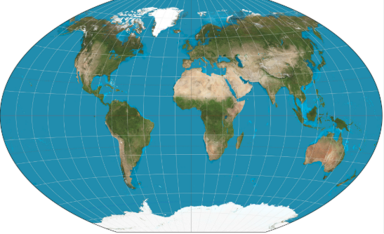
what map is this?
winkle

what map is this?
goode homolosine
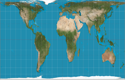
what map is this?
gall peters
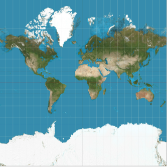
what map is this?
mercator
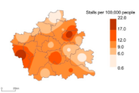
Connects with lines all the places that have particular values. Ex: A certain region (not a state alone, even crossing borders) is filled with color, some lighter, some darker (figure 1-23). The darker the color, the more important the region for corn production.
isoline
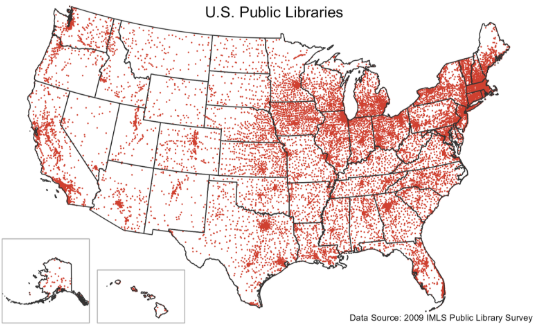
Depicts data as points and shows how those points are clustered together or spread out over an area. Ex: More dots means more corn in that area.
dot distribution
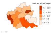
Recognizable areas of a map are shaded to stand out with the portion of the measurement. Ex: The darker the state, the more corn population
choropleth
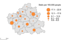
A symbol that changes in size according to the value or how much is there. Ex: The larger the circle, the more in that state.
graduated symbol
An area of earth defined by one or more distinctive characteristics (shape, size, etc.)
region
Specific point on earth, distinguished or told apart by a particular characteristic.
place
Relationship between the portion of earth being studied and earth as a whole.
scale
Refers to the physical gap or interval between two objects
space
Refers to relationships among people and objects across the barrier of space
connection
Two-dimensional or flat-scale model of earth’s surface or a part of it
map
mapmaking, or the process of how maps are made
cartography
Analysis of data about earth acquired through satellite and other electronic information technologies
GIS
Data collected from a sensor or satellite from far away about earth’s surface
remote sensing
determines the precise location on earth
GPS
Level of detail and the amount of area covered on a map depend on this
map scale
Scientific method of transferring locations on earth’s surface to a flat map is this
projection
The vertical line pinpointed to point out a specific spot. Longitude being the numerical number and the Meridian being the line doing such
meridian+longitude
Parallel is the track, same as Meridian while latitude is the address, the number
parallel+latitude
0 degrees longitude
prime meridian
shows large amount of detail in a smaller area
large scale

shows smaller detail yet on a much bigger scale
small scale