AP Human Geography Types of Map Projections
1/5
There's no tags or description
Looks like no tags are added yet.
Name | Mastery | Learn | Test | Matching | Spaced |
|---|
No study sessions yet.
6 Terms
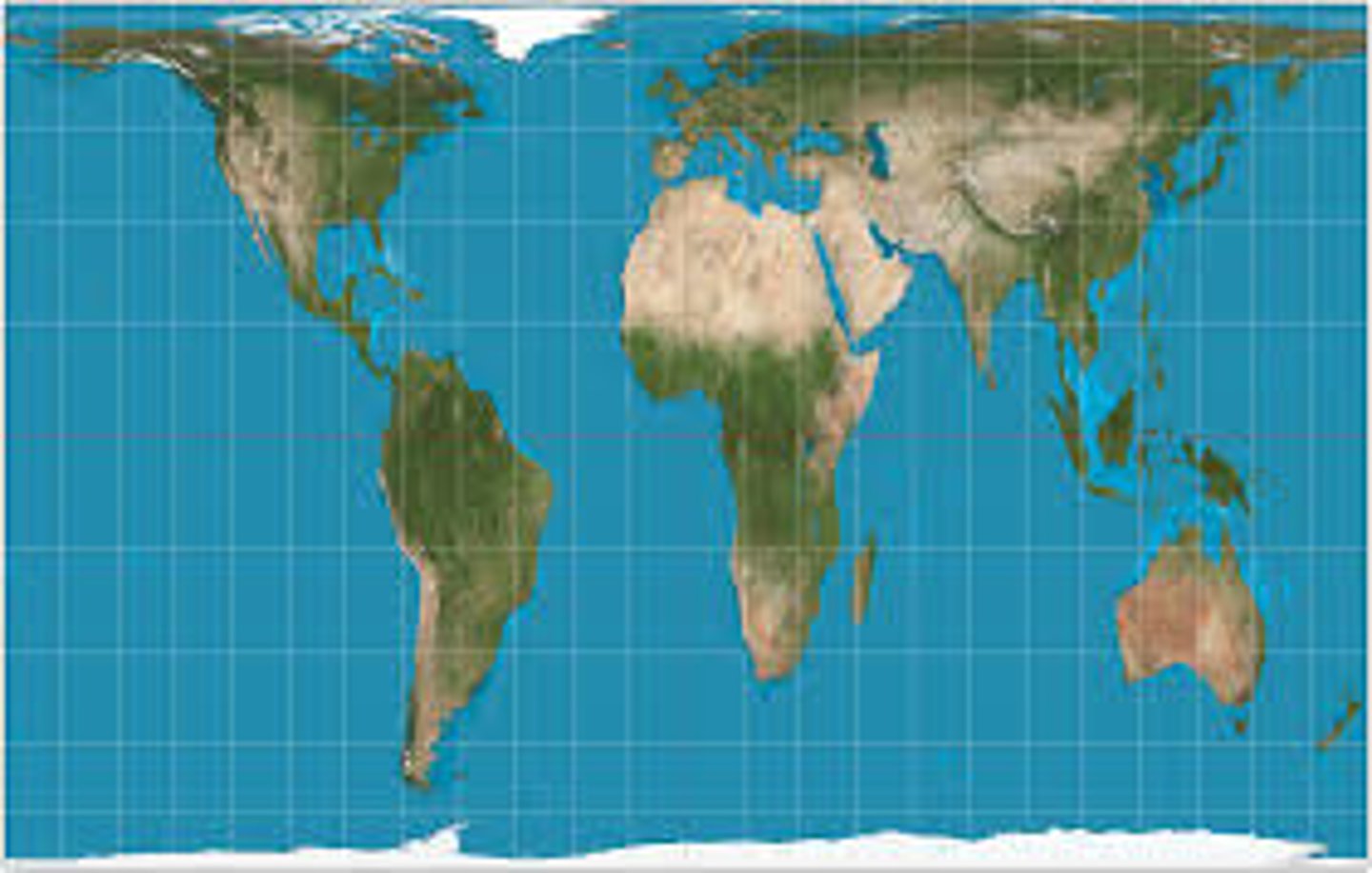
Mercator
a map projection that fairly accurately shows shape and direction, but distorts distance and size of land masses.
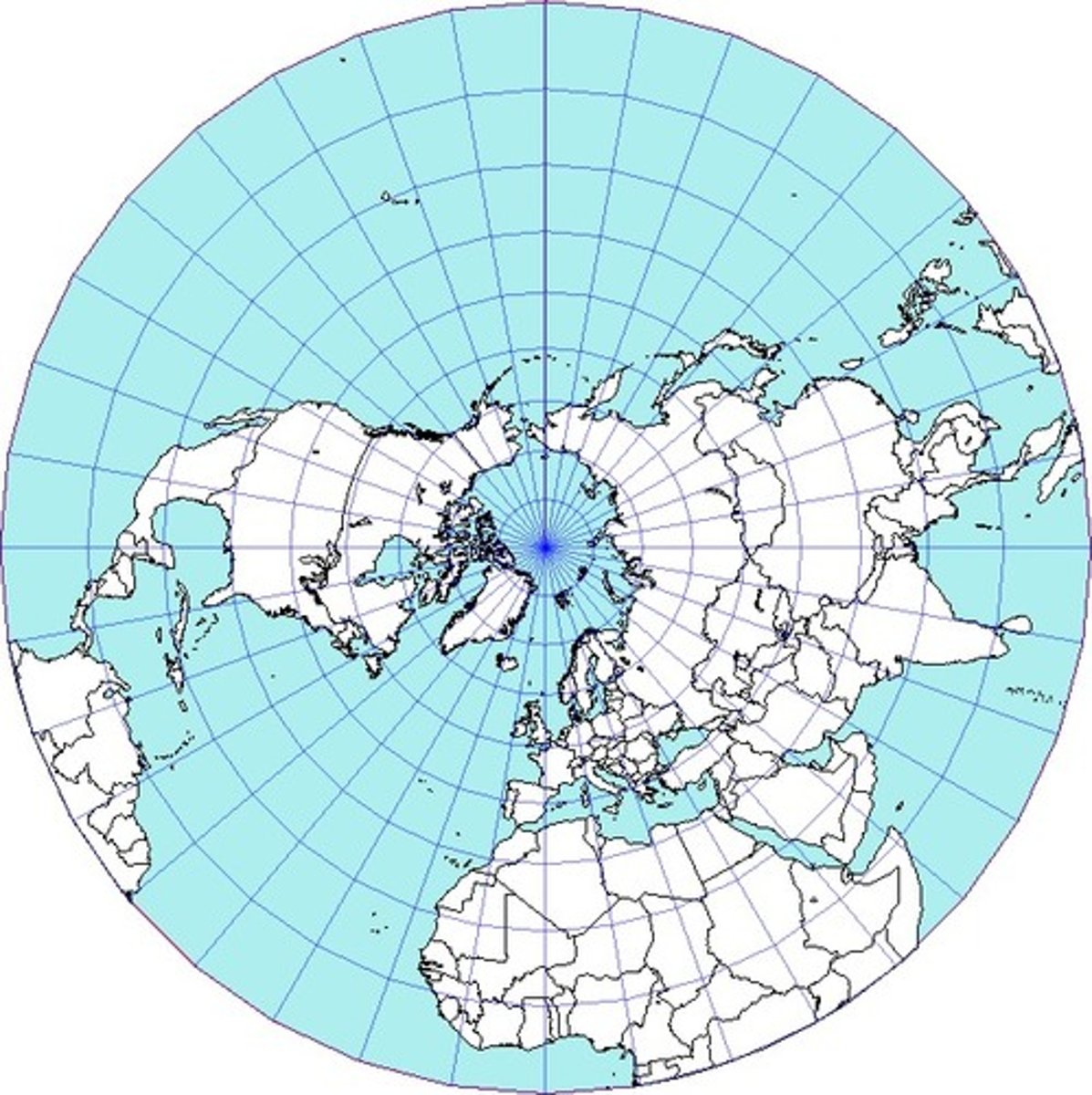
Azimuthal (polar)
a map which shows true compass directions; longitude lines are straight and latitude lines are circles; distorts shape and size more toward the outer edges.
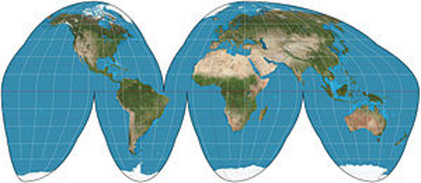
Goode's Interrupted Equal Area
Area Projection; shows true size and shape of earth's landmasses
Fuller-Dymaxion
displays the entire world at once with minimal distortion. It looks like a bunch of triangles put together.

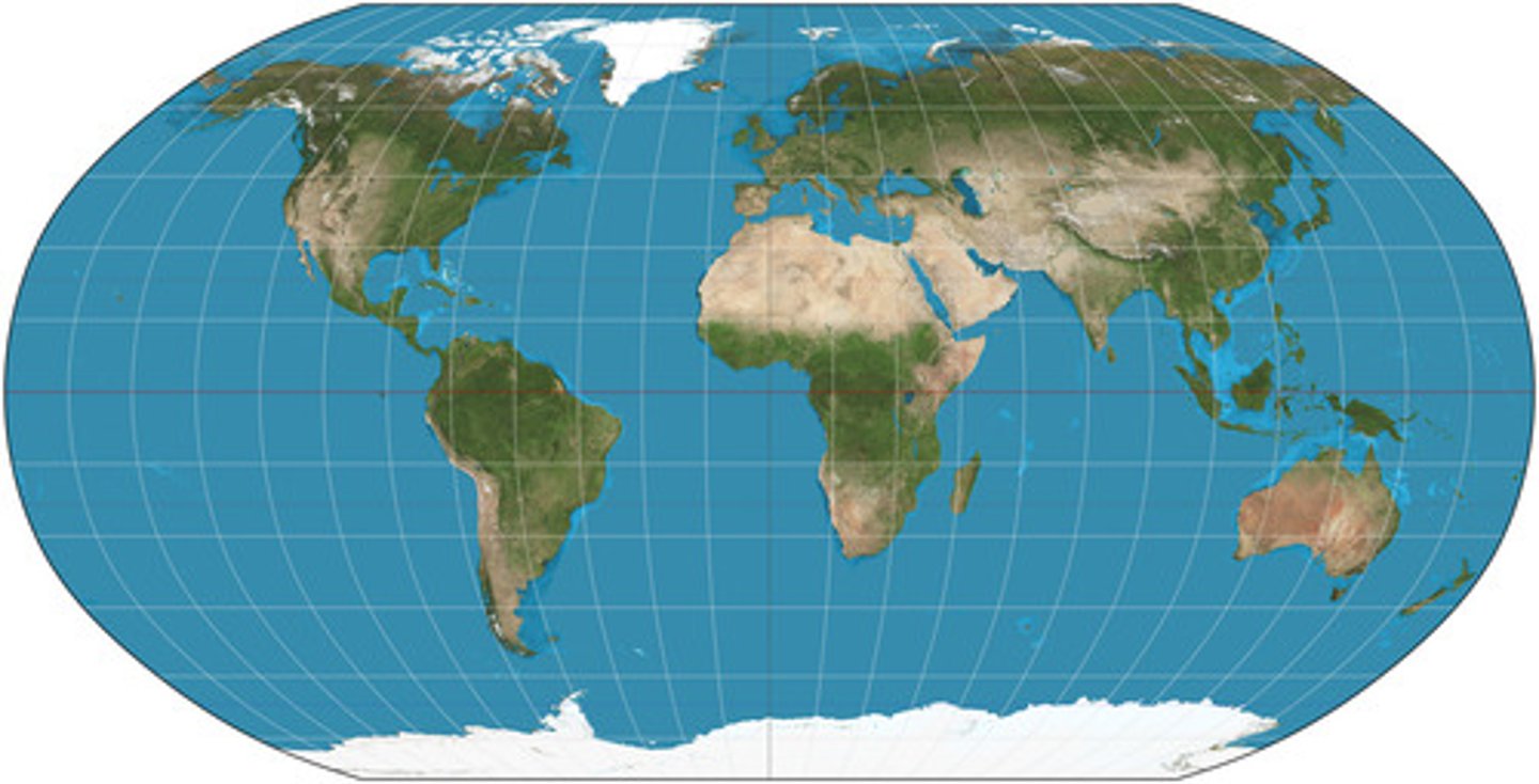
Robinson
a projection that maintains overall shapes and relative positions without extreme distortion.
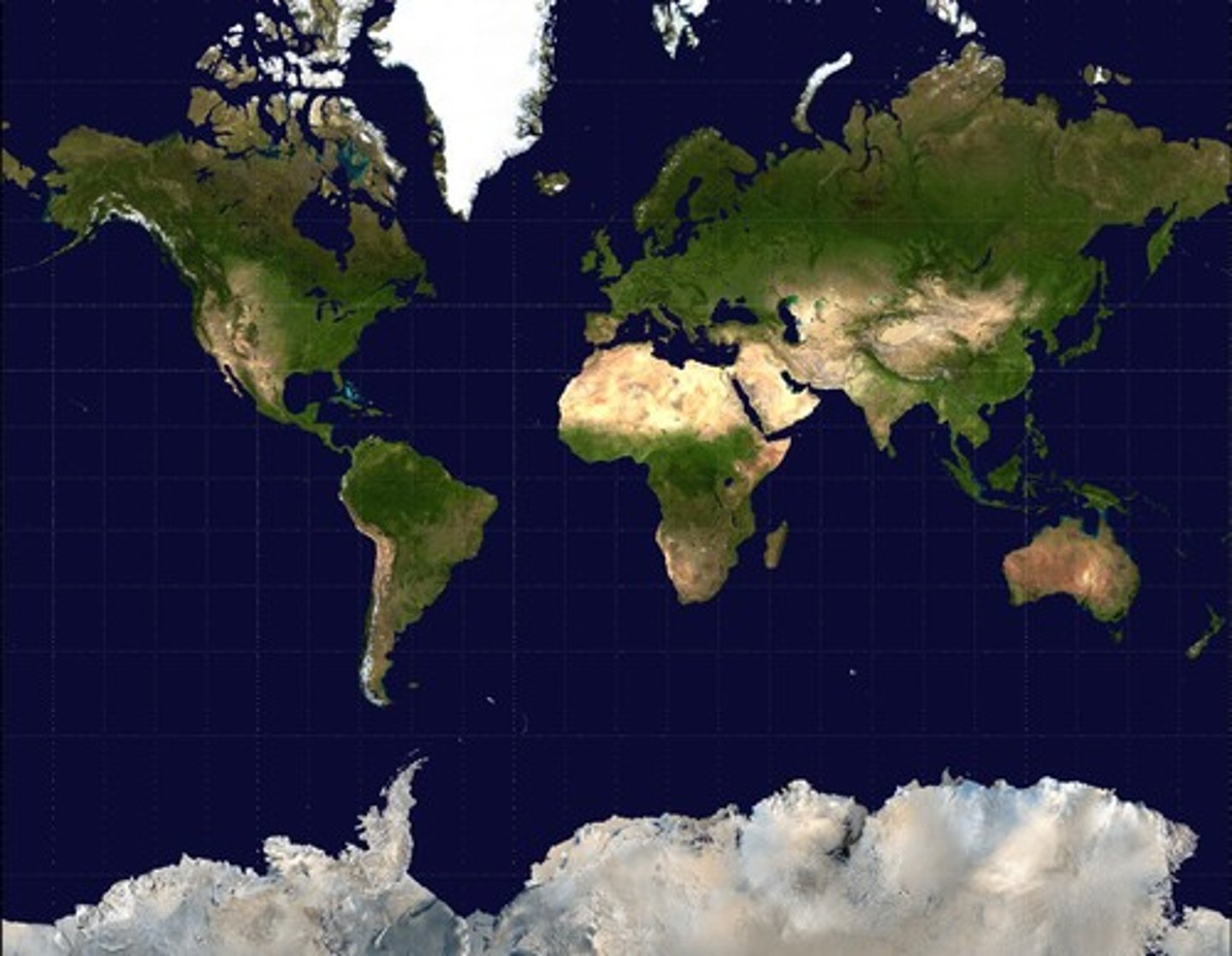
Gall Peters
a projection that displays accurate axes, but shapes are distorted. They are hard to navigate when the shapes are not accurate