Looks like no one added any tags here yet for you.
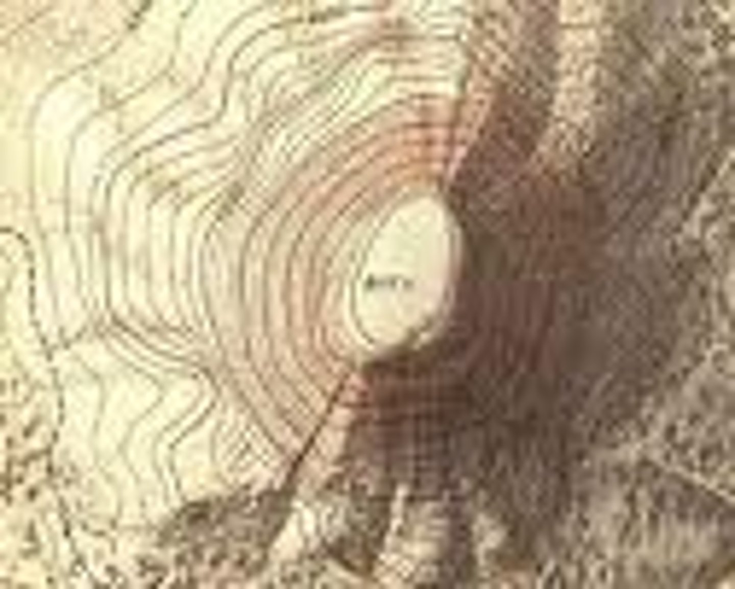
Topographic map*
A map that uses contour lines to show the shape and elevation of the land.
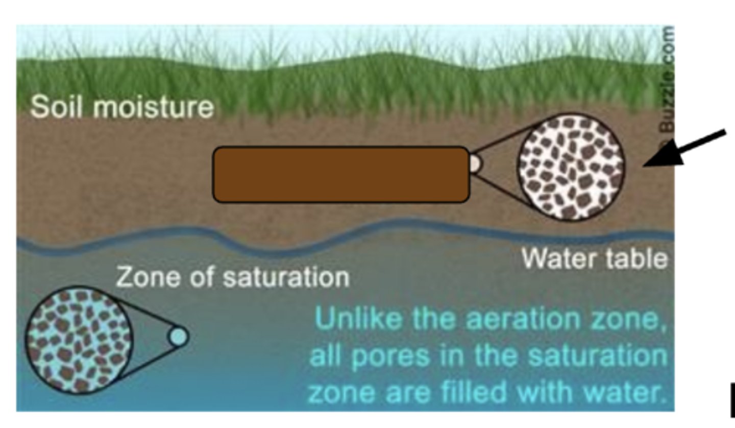
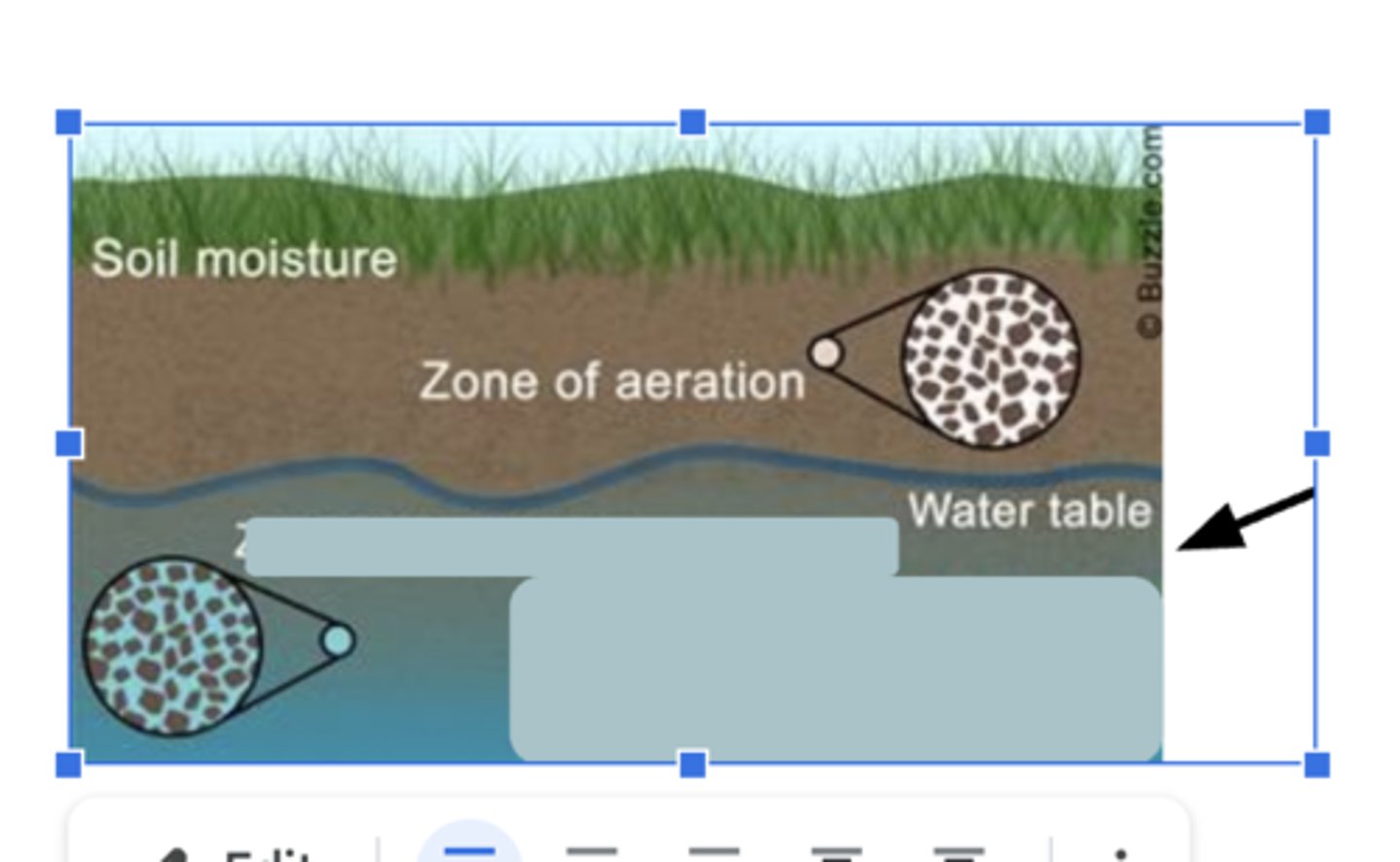
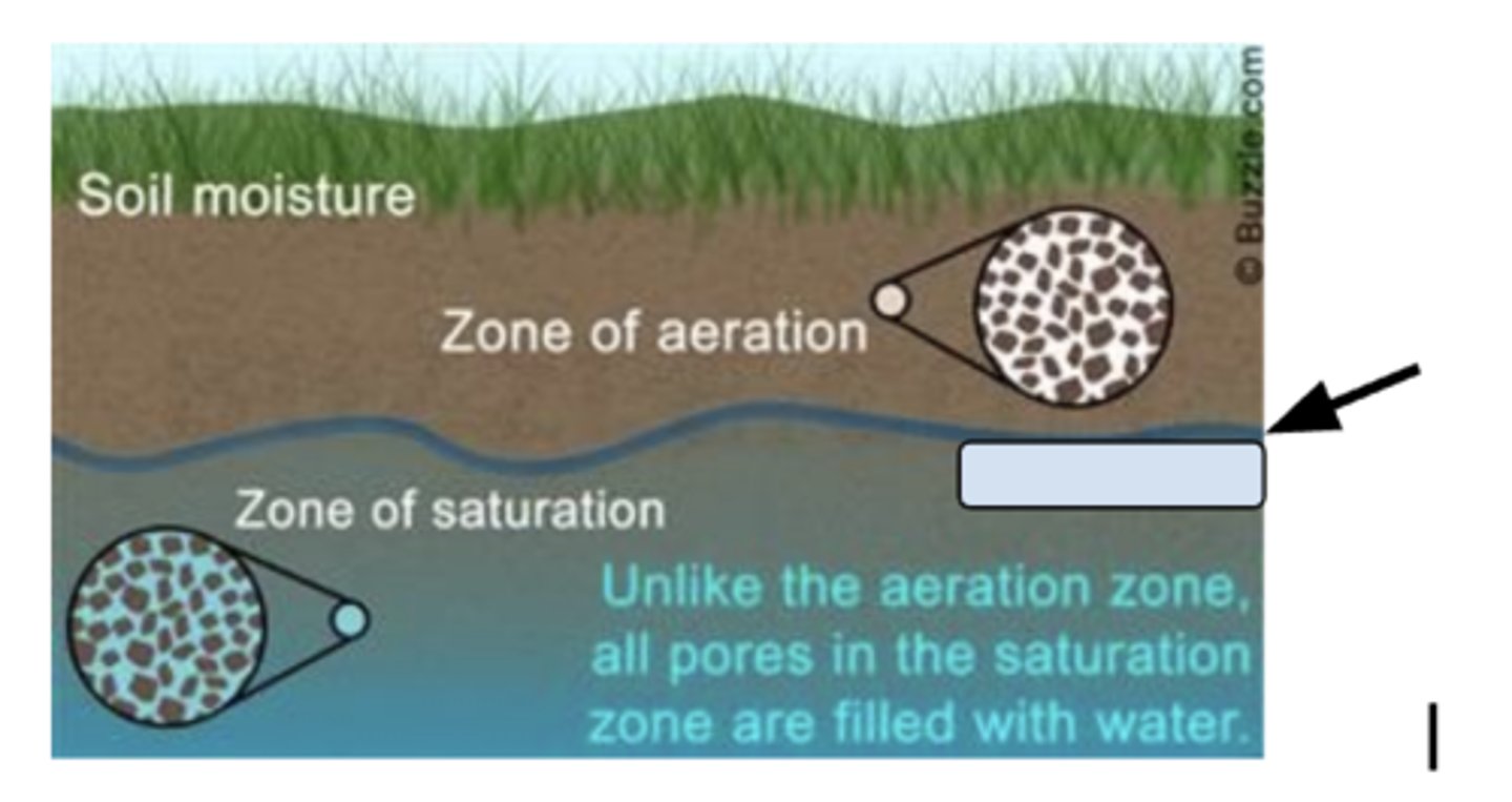
Zone of aeration
The upper soil layer where air and water fill spaces between particles.
Zone of saturation
The underground area where spaces between rocks and soil are completely filled with water.
Water table
The top of the zone of saturation; where groundwater begins.
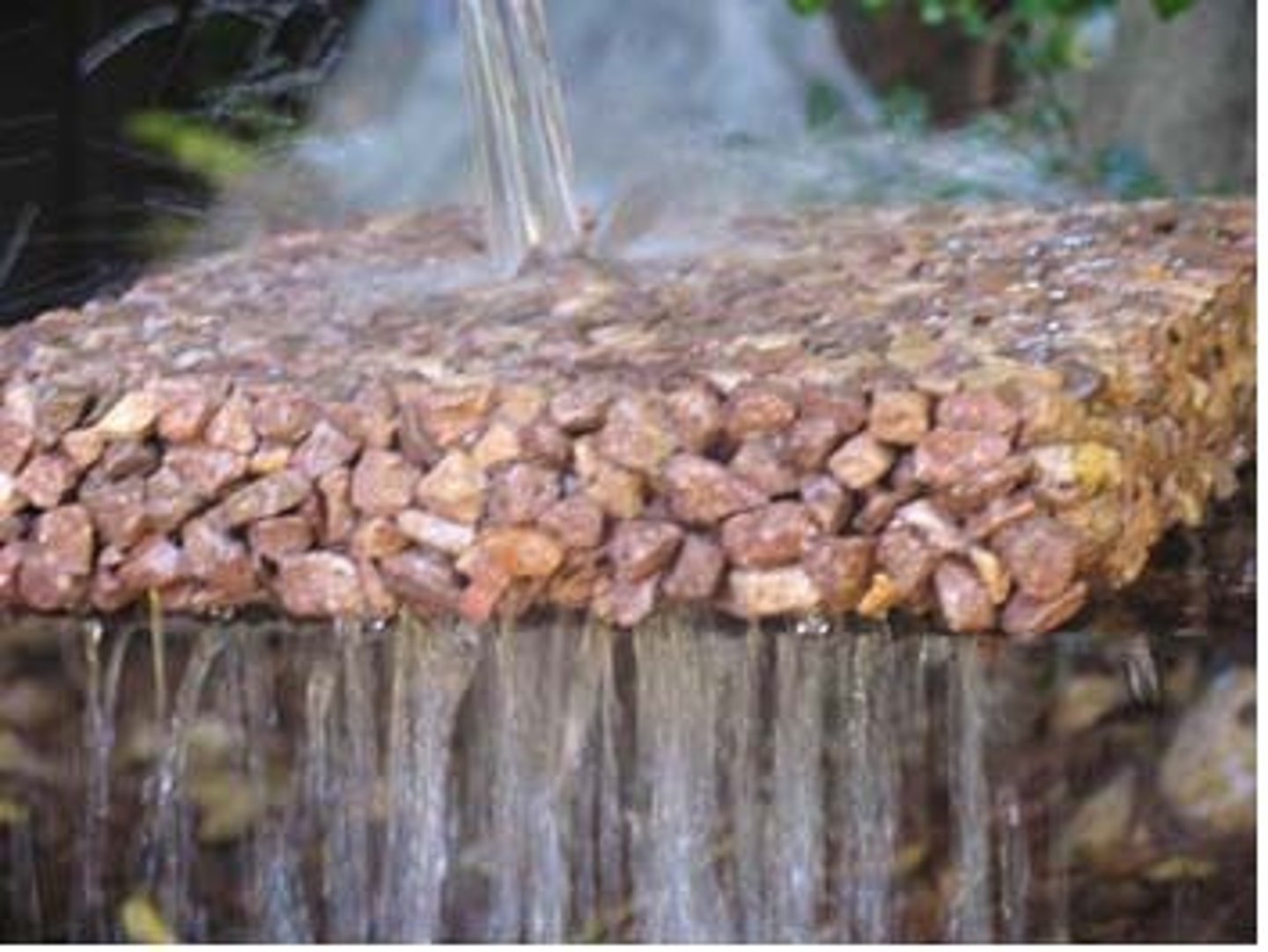
Permeable
A material that allows water to pass through it easily.
Impermeable
A material that water cannot pass through.
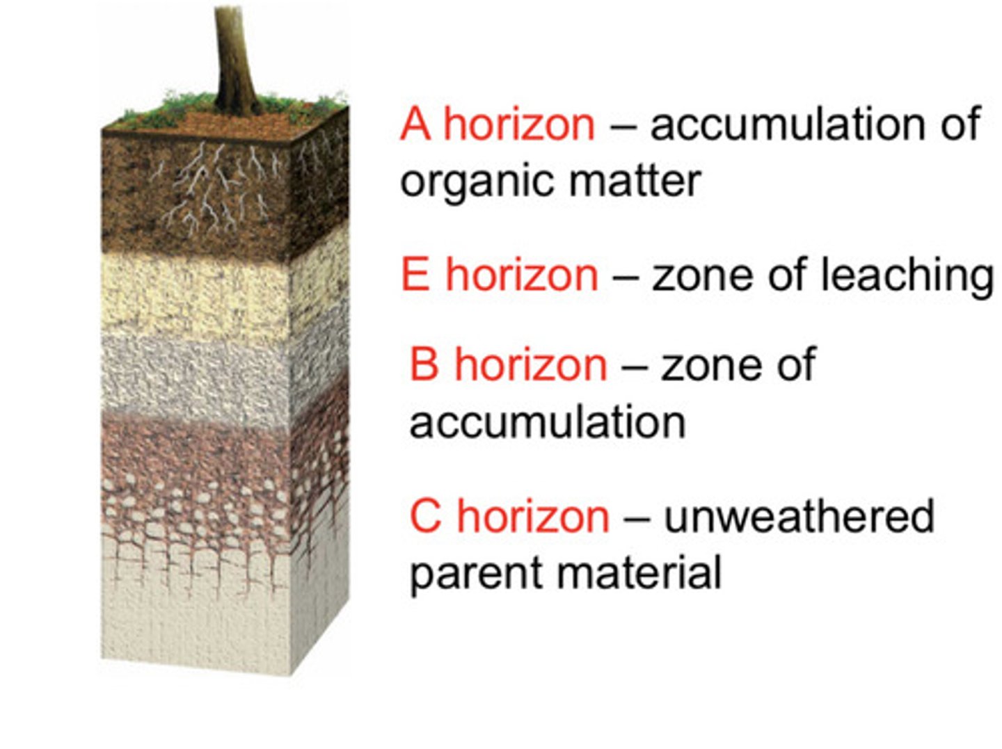
Soil development
The process of forming soil from weathered rock and organic material
Karst topography
Land shaped by the dissolving of rocks like limestone, forming caves and sinkholes.
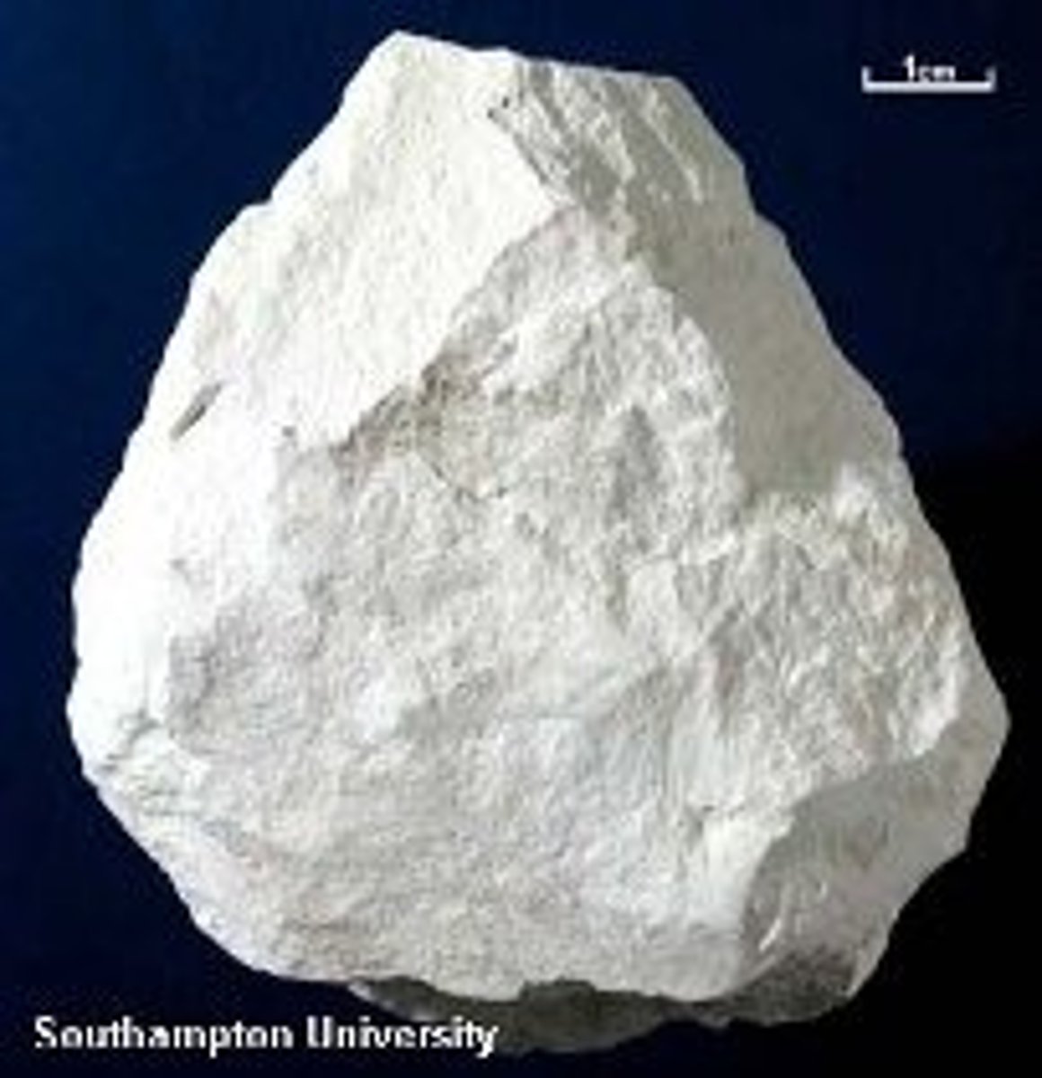
Carbonate rocks*
Rocks like limestone and dolomite made from minerals that dissolve in slightly acidic water.
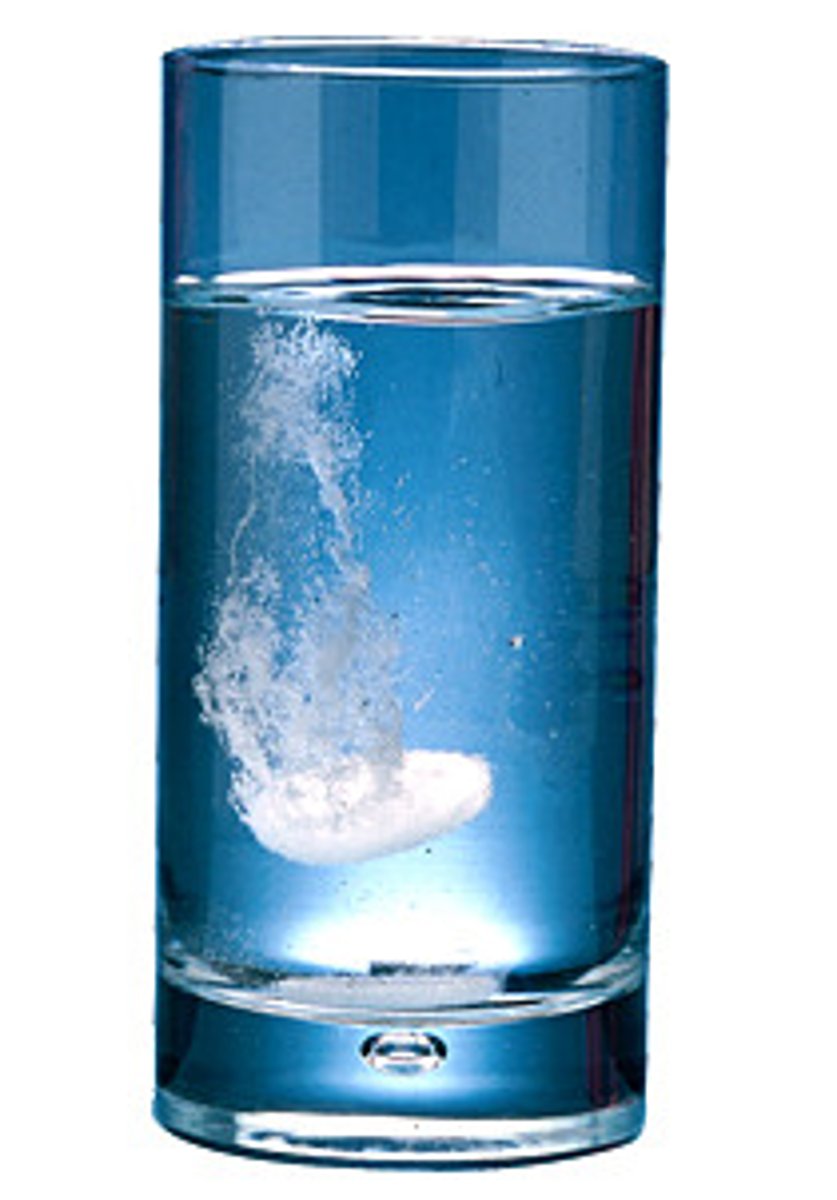
Solubility*
How easily a substance (like a rock or salt) can dissolve in a liquid, such as water.
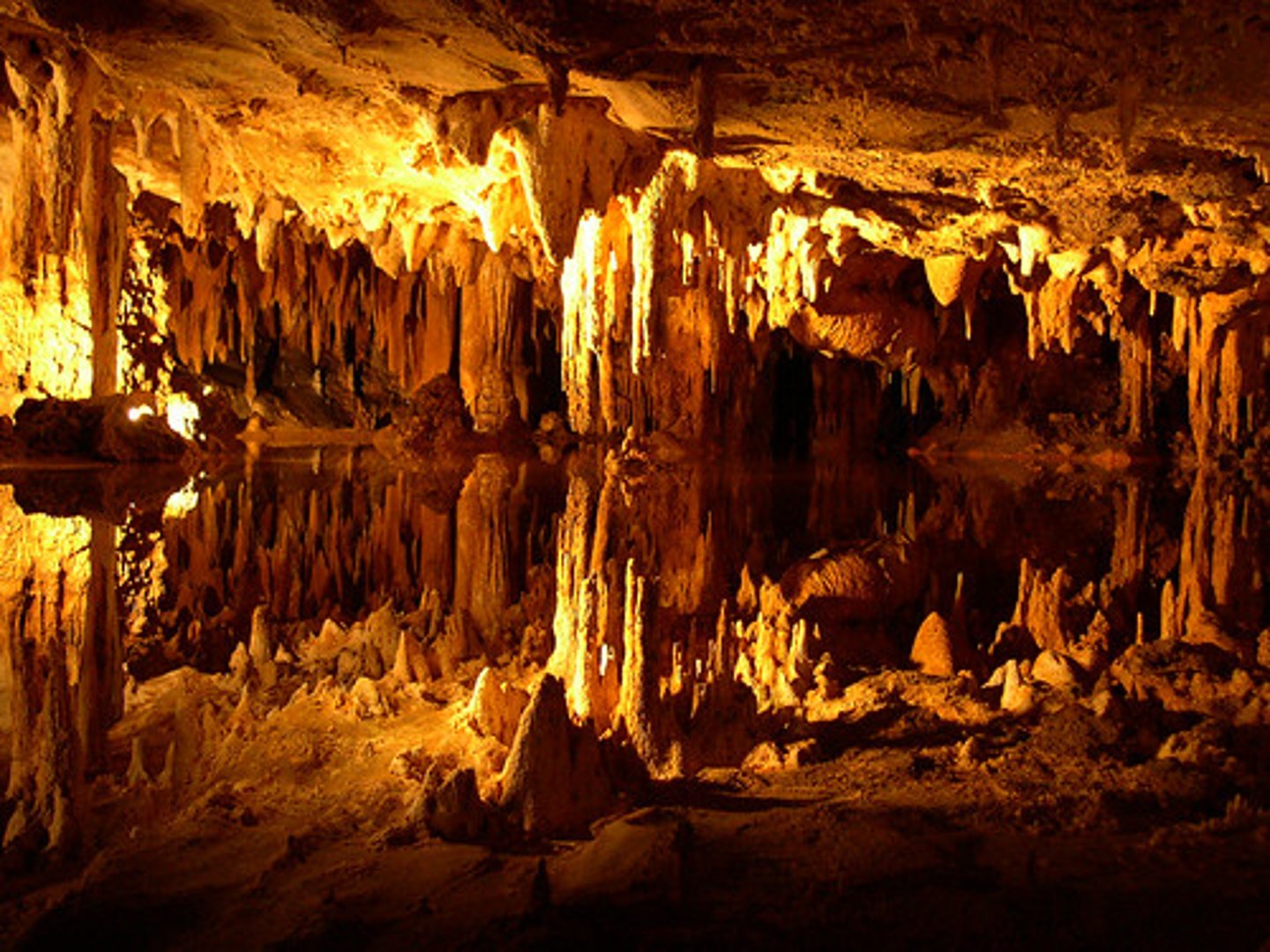
Cave/Cavern
A large hollow space underground formed by the dissolving of rocks.
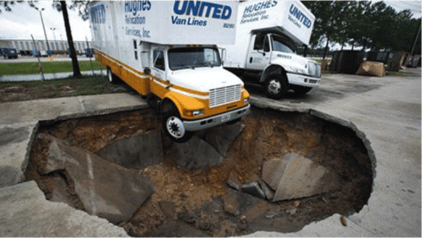
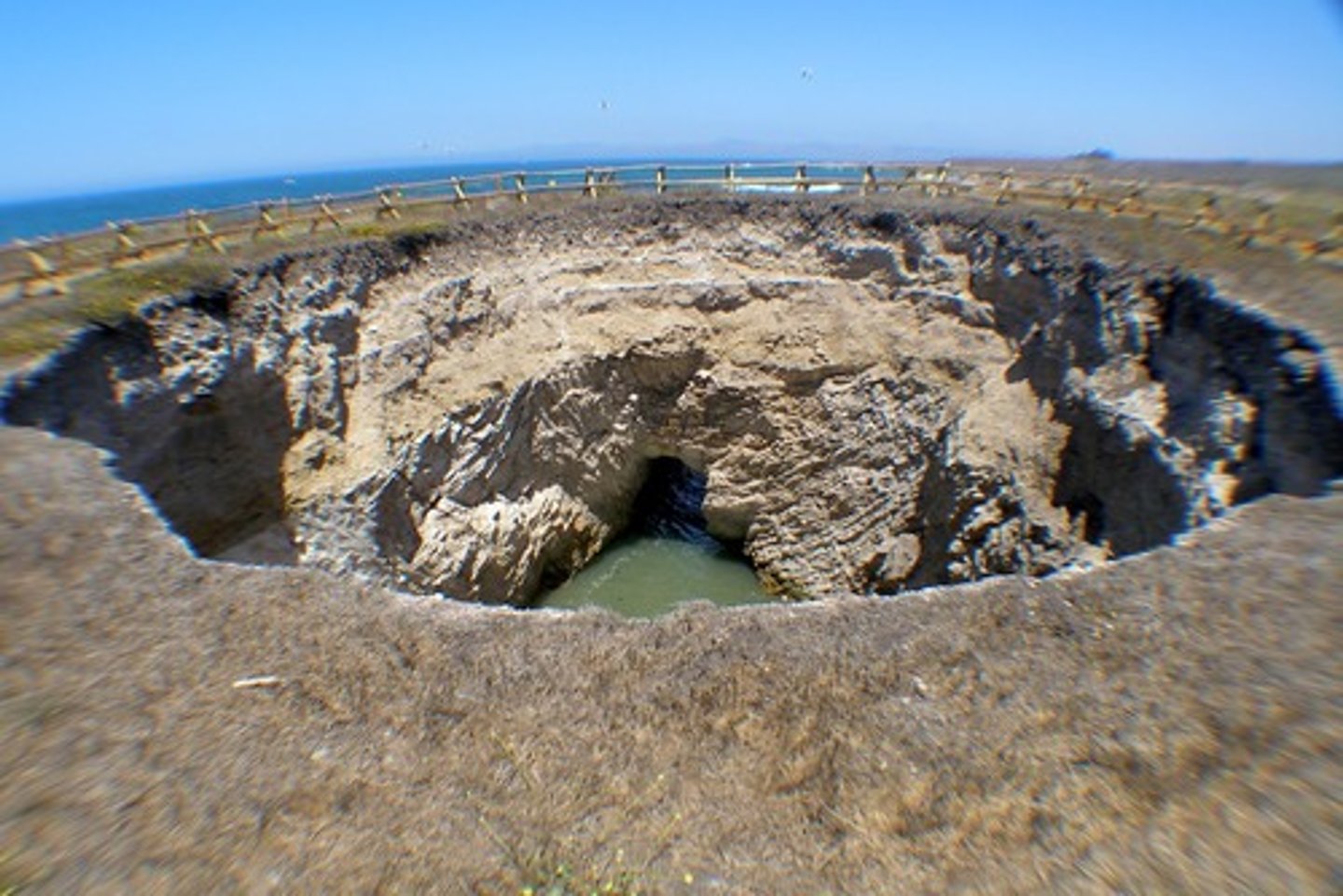
Sinkhole
A hole in the ground formed when the land above a cave collapses.
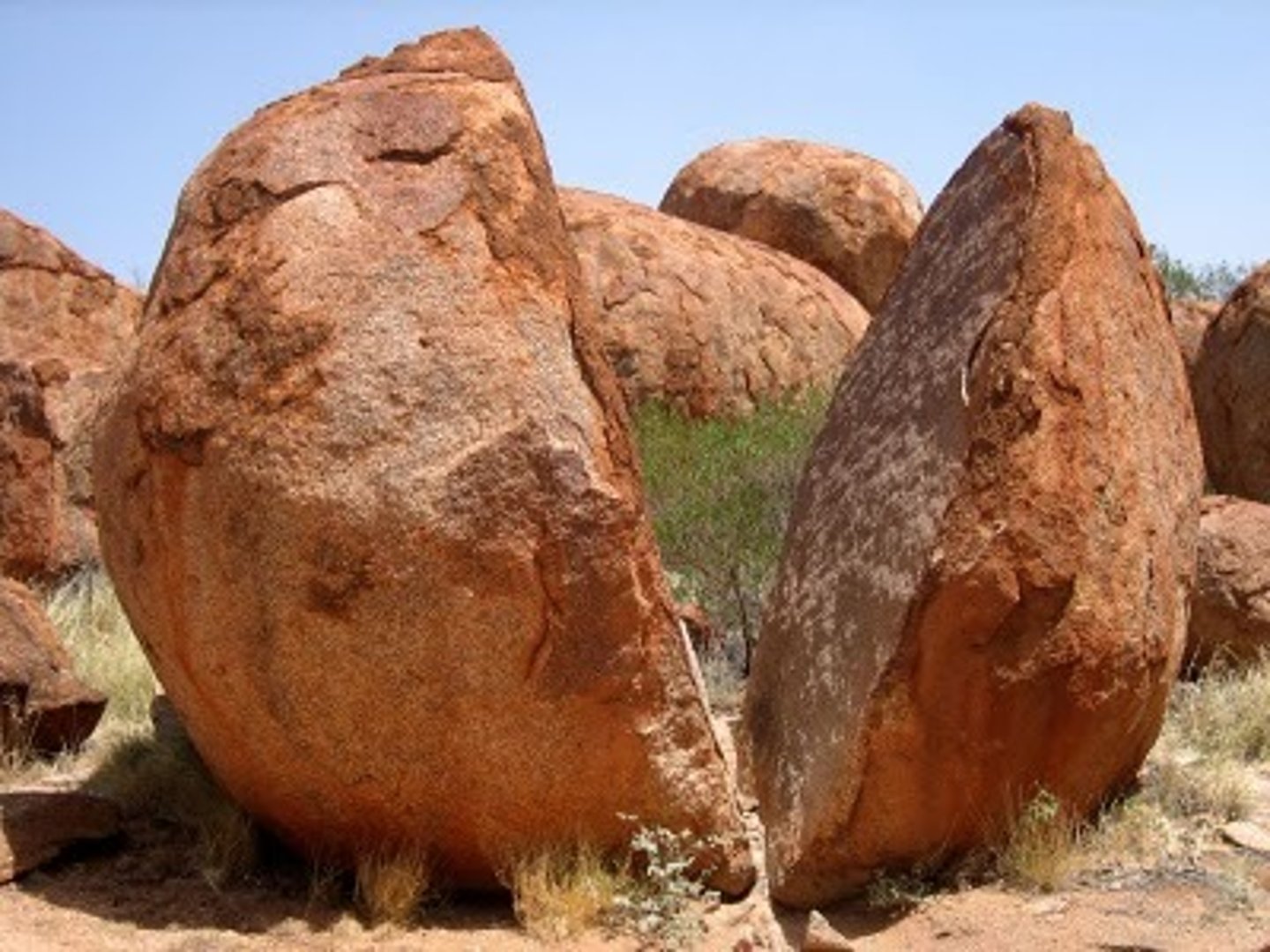
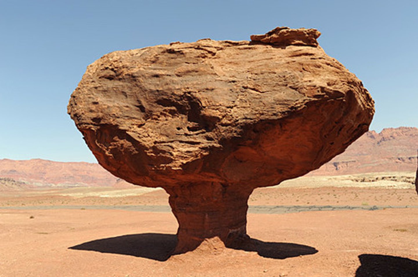
Physical weathering
Breaking rocks into smaller pieces by physical forces like freezing and thawing.
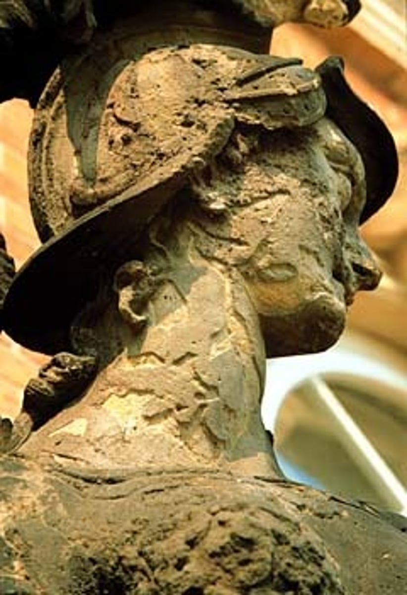
Chemical weathering
Breaking rocks by chemical changes, such as water dissolving minerals.
Abrasion
The wearing away of rocks by rubbing or scraping against other rocks.
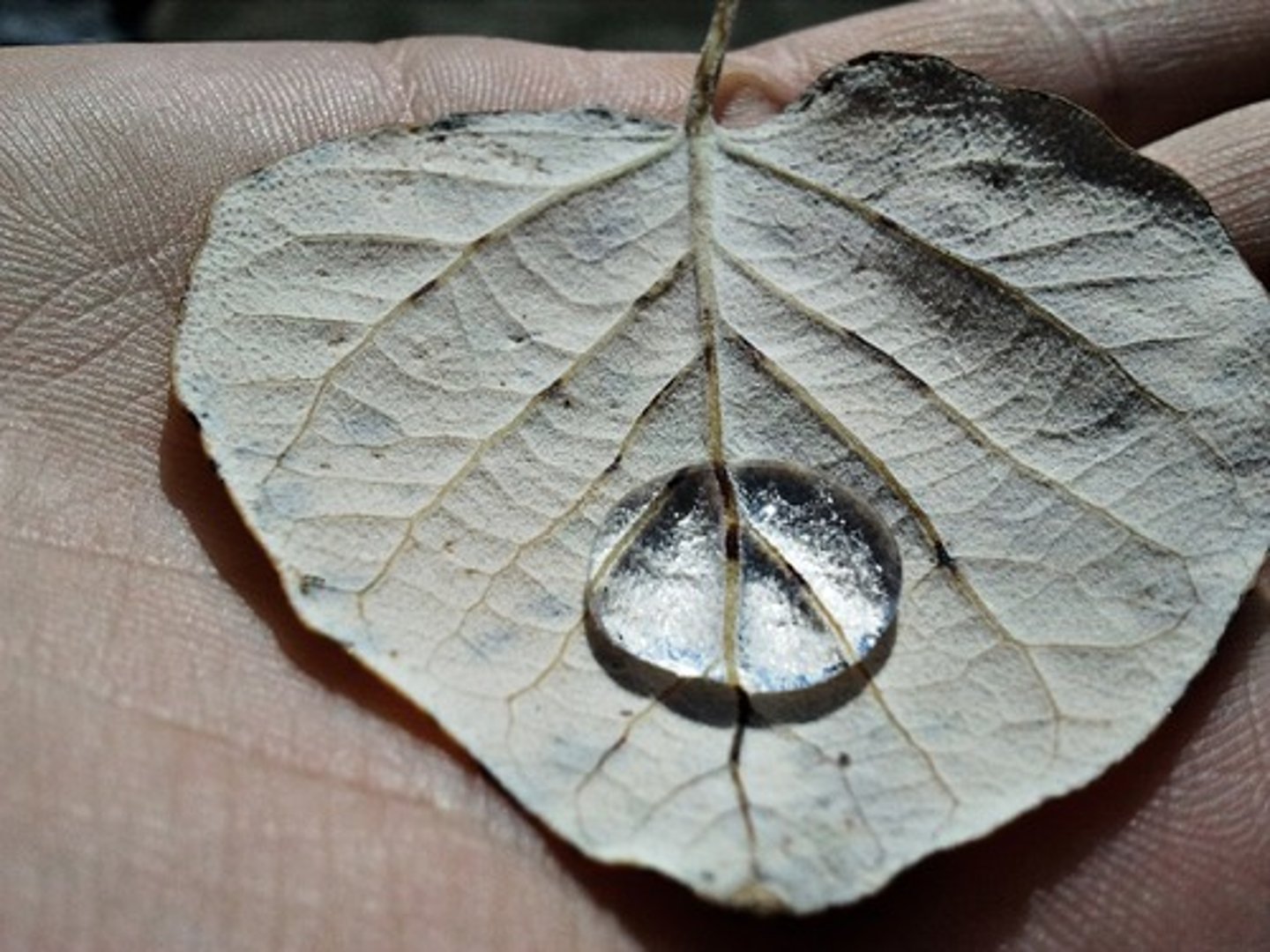
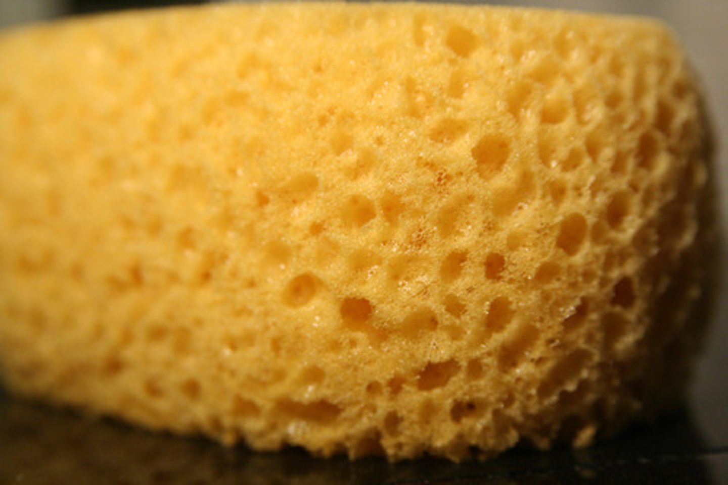
Porous/Porosity
Describes how much empty space (holes) is in a material, allowing it to hold water.