Medmerry Coast - A Level Geography Case Study
1/5
There's no tags or description
Looks like no tags are added yet.
Name | Mastery | Learn | Test | Matching | Spaced | Call with Kai |
|---|
No analytics yet
Send a link to your students to track their progress
6 Terms
Where is Medmerry coast located?
It is located in West Sussex, near Selsey. It is commonly known for its managed retreat scheme.
What was the managed retreat scheme?
It was a scheme adopted as the most cost effective scheme for this stretch of the coastline. It still costed £28 million. The land is low value farmland and caravan sites. It was previously protected by a seawall too costly to replace.
Why was the scheme needed?
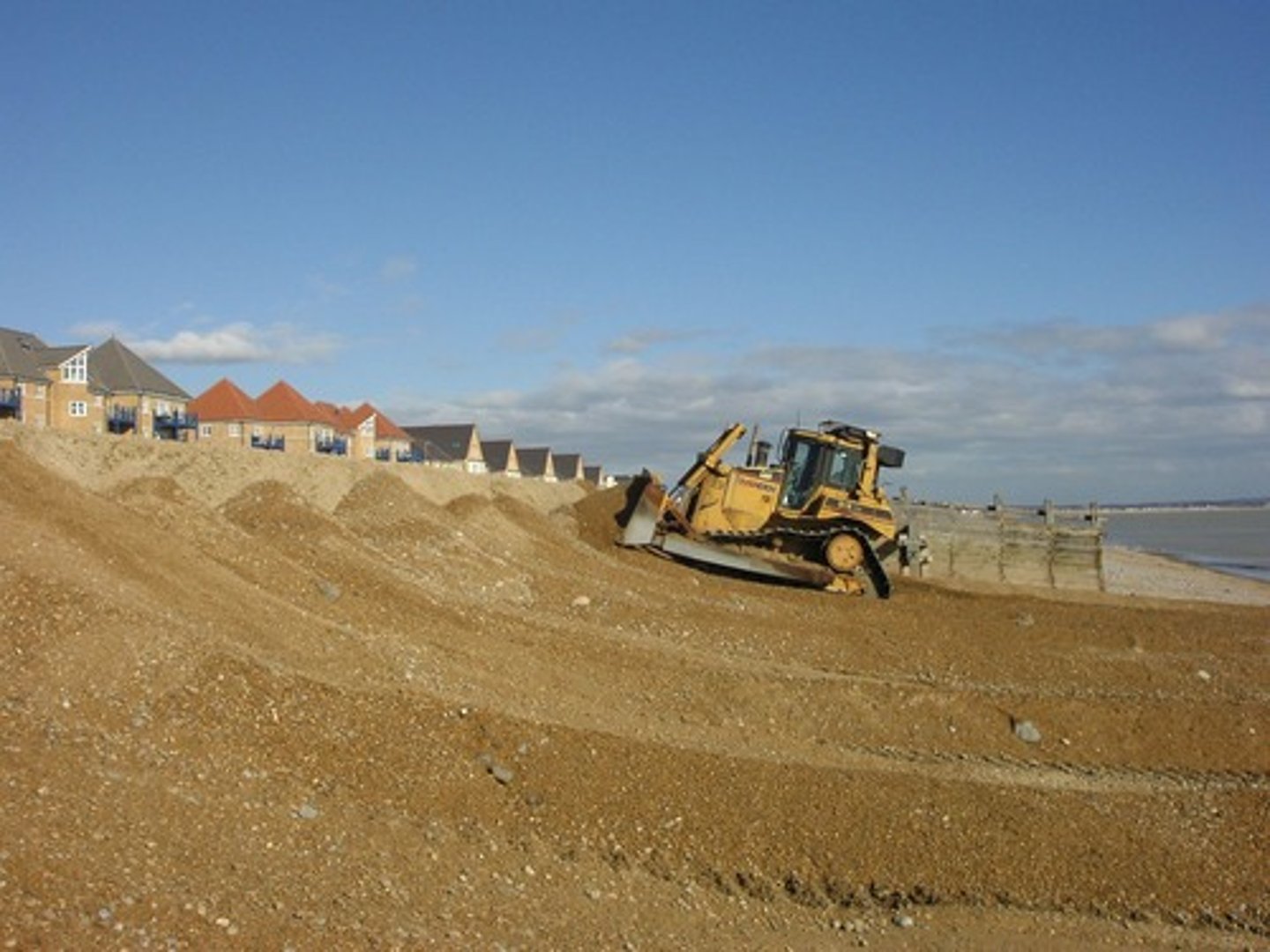
It was at a huge risk of permanent flooding due to climate change. A shingle ridge was the only protection so in 1990 the council started a programme of beach reprofiling, costing an unsustainable £200,000 a year. there was a cause for concern over 348 homes, roads, water treatment plant, holiday homes. In 2008, the last flood cost £5 million in damage.
What did the scheme involve?
- New embankment using clay, aimed to protect properties.
- A channel was built to collect drainage water which could then be drained into the inter-tidal area.
- Rock armour was placed on the edge of the embankment, 60,000 tonnes of rock from Norway.
- 110m hole made in the old shingle bank to allow sea to flood and create new inter-tidal zone.
- 2 car parks, 4 viewpoints and 10km of footpaths, cycle paths and bridleways to encourage tourism.
What was the outcome?
- Two holiday parks, main road, treatment works and 350 homes have been protected from flooding.
- High enough protection for 1000 year flood.
- Total home worth is £60 million so cost-benefit analysis means the scheme was worth it.
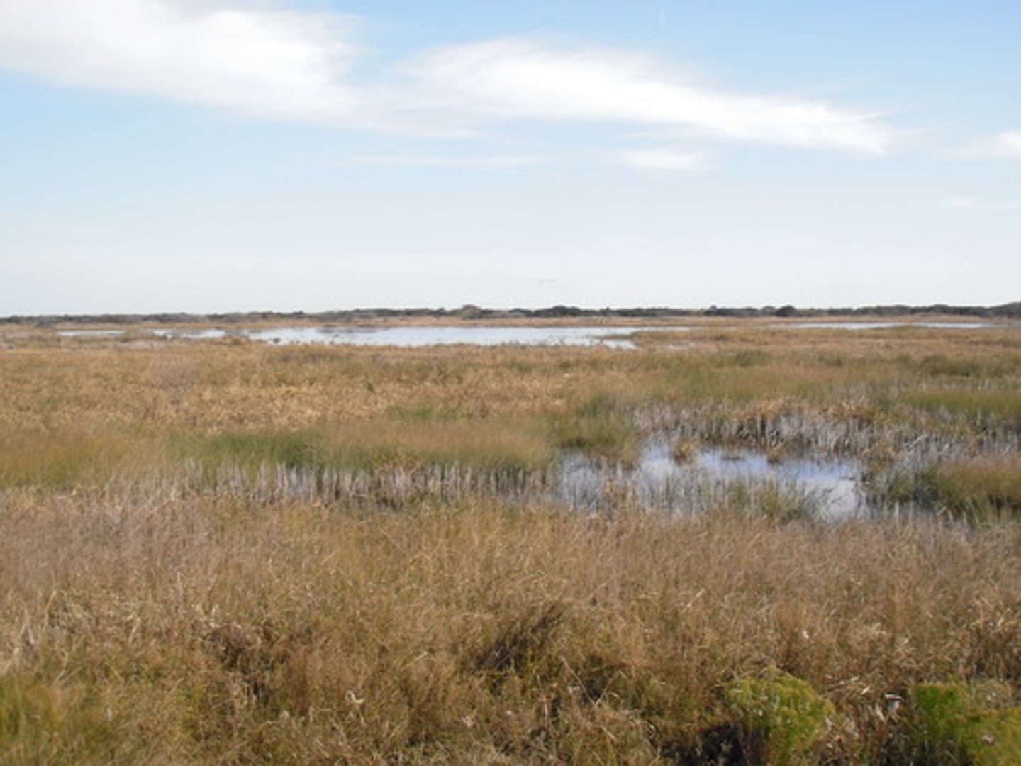
- 180 hectares of land created, good for birds and mammals.
- Tourism has been boosted and eco-tourism is being offered by some holiday parks.
- Created a large natural saltmarsh to buffer the sea.
Has it been successful?
- During the 2013/14 winter, the defenses survived the worst conditions.
- Large number of birds and seals now use the coast.
- Owner of holiday park pleased with outcome and has not flooded since the scheme completion.