Module 1: Introduction to Maps Vocabulary
 Call Kai
 Learn
Learn Practice Test
 Spaced Repetition
 Match
Match Flashcards
 Knowt Play
1/32

Earn XP
Description and Tags
A complete set of vocabulary flashcards based on Module 1: Introduction to Maps.
Name | Mastery | Learn | Test | Matching | Spaced | Call with Kai | Chat |
|---|
No analytics yet
Send a link to your students to track their progress
33 Terms
Map
A two-dimensional (flat) representation of a geographic area or place.
Cartographer
A person who makes maps.
Data aggregation
The process of collecting and organizing large amounts of information.
Spatial perspective
A geographic perspective that seeks to identify and explain the uses of space.
Spatial patterns
The placement or arrangement of objects on Earth's surface; also includes the space between those objects.
Clustered
Describing objects that are clumped together on Earth's surface.
Dispersed
Describing objects that are spread out in some organized fashion on Earth's surface.
Random
Describing a pattern where objects are either clustered or dispersed, thus lacking any organization.
Time-distance decay
Also known as the 'first law of geography'; the idea that near things are more related than distant things, and interaction between two places decreases the farther apart they are.
Map symbols
Graphic elements that help organize the information in a map, such as (but not limited to) dots, stars, arrows, squares, and dotted lines.

Legend
A key to the meaning of the symbols and colors on a map.
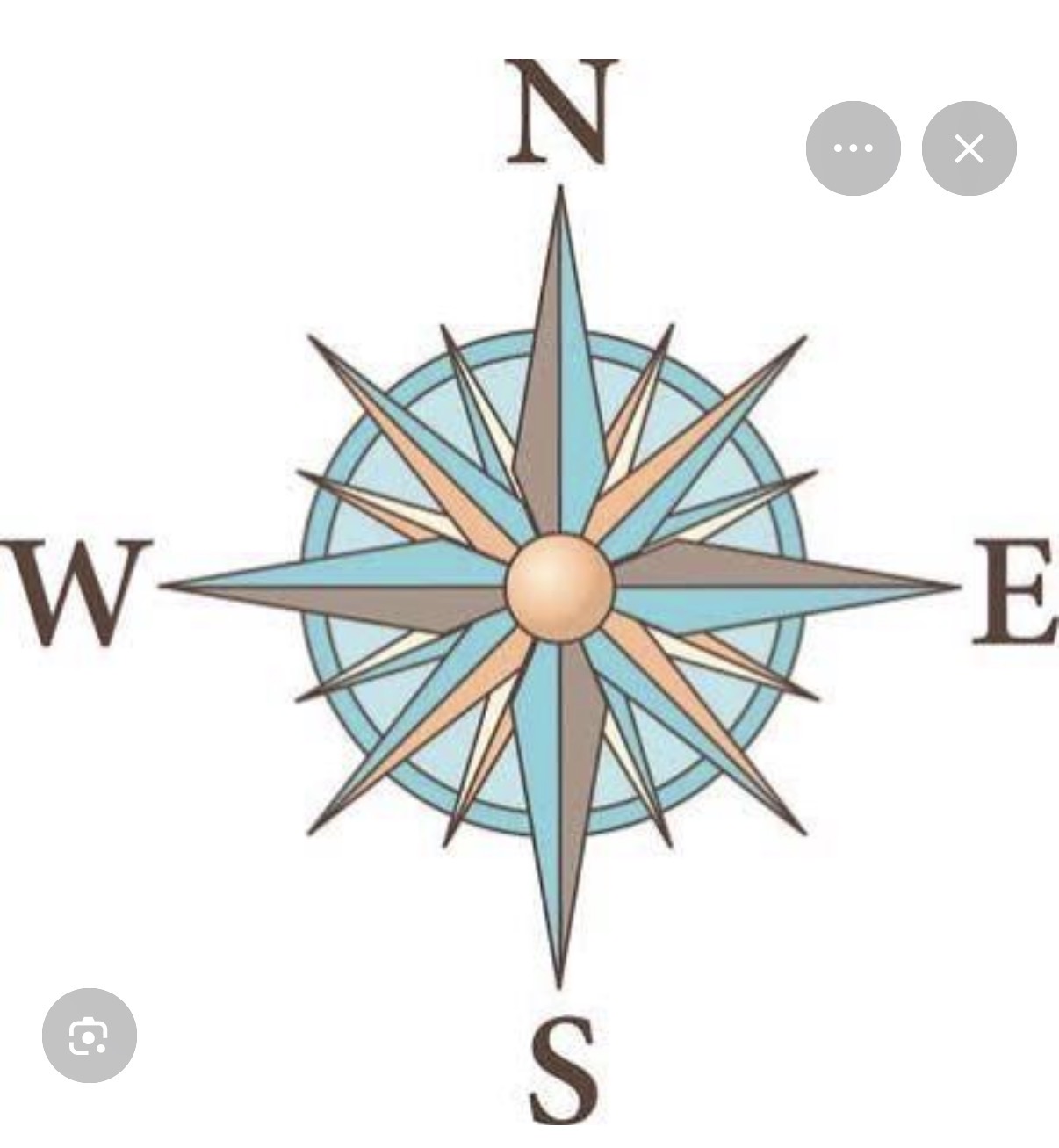
Compass rose
A drawing, usually found on the edge of a map, showing the four cardinal directions (north, south, east, and west and the map's orientation
Absolute direction
Corresponds to the direction on a compass: north, south, east, west, and combinations such as northeast and southwest
Map scale
The distance on a map in relation to distance in actual space; for example, 1 inch on a map might indicate a distance of 100 miles
Scale
The territorial extent of an idea or object
Absolute distance
The distance that can be measured with a standard unit of length, such as a foot, yard, mile, or kilometer
Relative distance
A measurement of the level of social, cultural, or economic similarity between places despite their absolute distance from each other
Relative direction
A direction that can be described as position, such as in front of or behind, to the left or to the right
Elevation
Distance above sea level

Isoline map
On a map, a line that connects or links different places that share a common or equal value, such as elevation
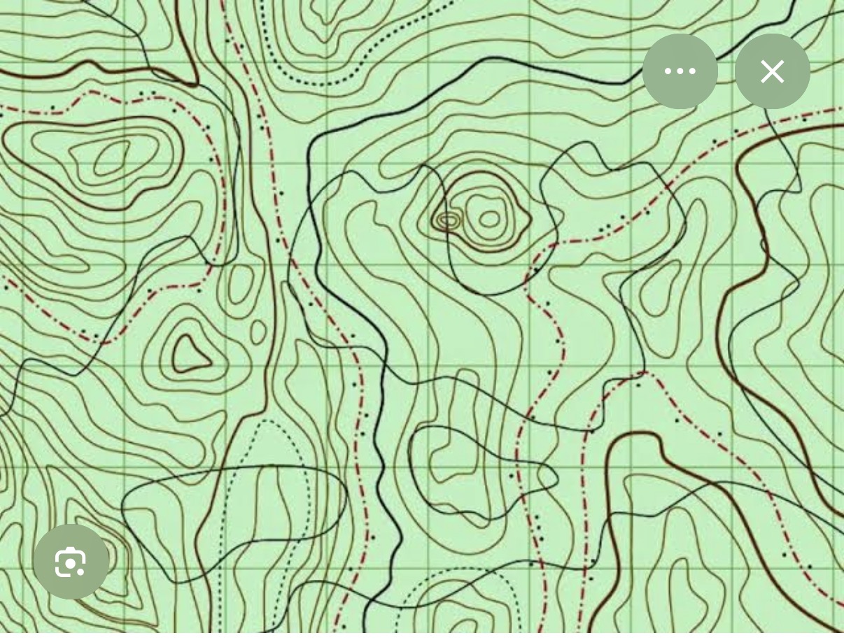
Topographical map
A graphic representation of the three-dimensional configuration of Earth's surface

Reference map
A map that shows geographic locations on Earth's surface, such as the locations of cities or oceans

Thematic map
A map that emphasizes the spatial patterns of geographic statistics or attributes, and sometimes the relationships between them

Choropleth map
A thematic map that shows data aggregated for a specific geographic area, often using different colors to represent different values

Cartogram
A map that distorts the geographic shape of an area in order to show the size of a specific variable; the larger the area on a cartogram, the larger the value of the underlying variable
Proportional/graduate circle map
A map that uses symbols (such as circles or dots) of different sizes to represent numerical values

Dot density/dot distribution map
A map that uses dots to represent objects or counts; the dot can represent one object (a one-to-one dot density map) or it can represent a number of objects (a one-to-many dot density map)
Map projection
A method for representing the surface of Earth or a celestial sphere on a plane (two-dimensional) surface; all map projections distort some aspect of Earth's surface
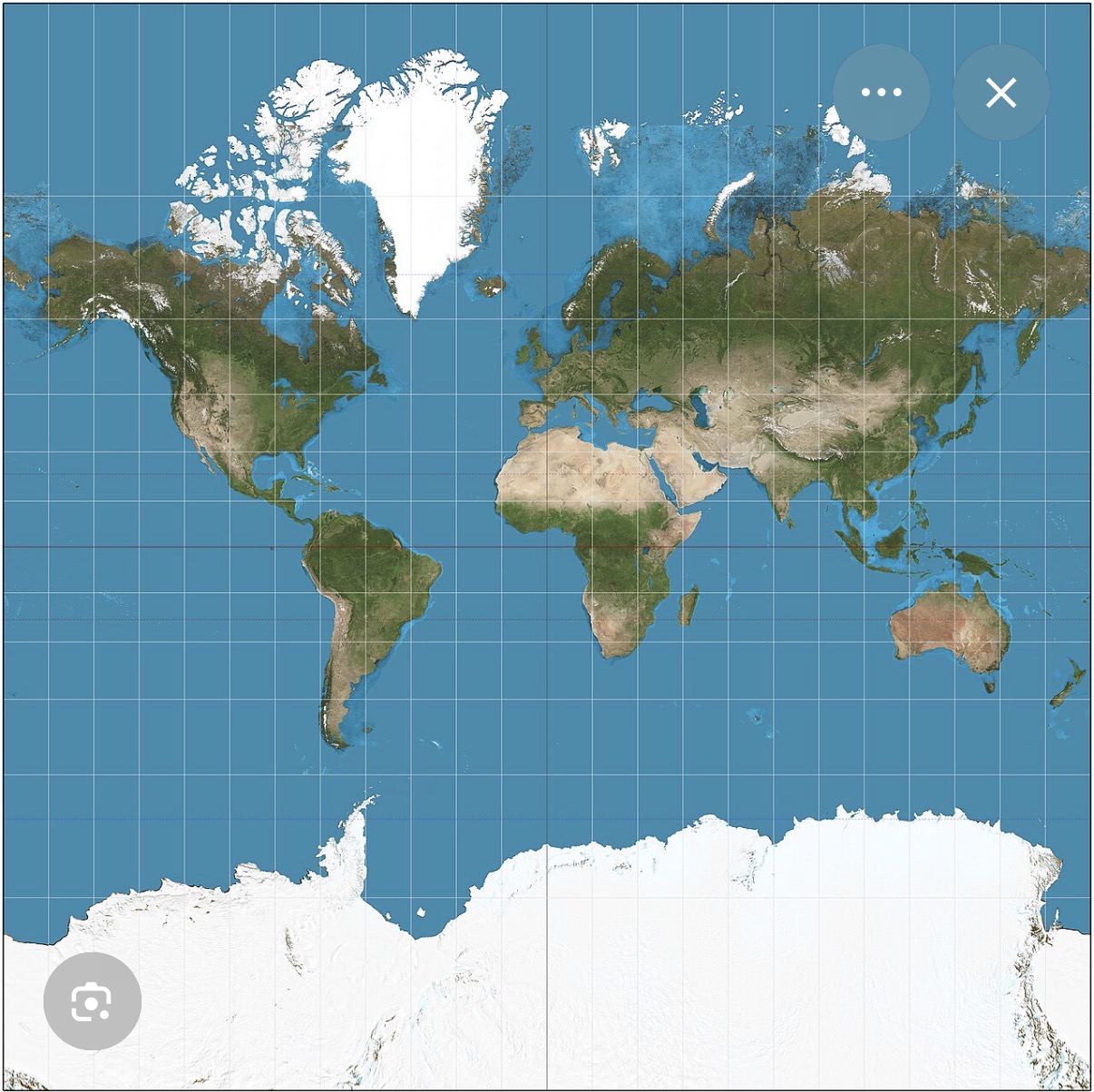
Mercator projection
A map projection that is useful for navigation because the lines connecting points on the map represent the true compass direction; however, landmasses become increasingly distorted the farther away they are from the equator


Peters projection
A map projection that shows all landmasses with their true areas but distorts their shapes

Goode homolosine projection
A map projection that avoids shape distortion and the restrictions of a rectangular map by creating "interruptions" in the map's continuity; in each section, map projection regions are shown "equally," like an orange peel being laid out in a flat surface

Polar projection
A map projection that looks down at Earth from the perspective of one of the poles (North Pole or South Pole

Robinson projection
A map projection that attempts to create the most visually appealing representation of Earth by keeping all types of distortion relatively low over most of the map