Unit 2: Interactions in the physical environment
1/76
Earn XP
Description and Tags
Flashcards about Earth's structure and geological time periods.
Name | Mastery | Learn | Test | Matching | Spaced | Call with Kai |
|---|
No analytics yet
Send a link to your students to track their progress
77 Terms
Crust
Outermost layer of the Earth.
Mantle
Layer beneath the crust.
Outer core
Liquid layer beneath the mantle.
Inner core
Solid layer at the center of the Earth.
How old is the Earth?
Approximately 4.6 billion years.
Precambrian Era
86% of Earth's age, appearance of first single-celled organisms, formation of the Laurentian Mountains.
First Multicellular Plant Life
Algae.
First Multicellular Animal Life
Jellyfish
Paleozoic Era
9% of Earth's age, age of amphibians and fish, first insects, development of sedimentary rock and fossil fuels, formation of Appalachian Mountains.
Paleozoic Era: Canada's East Coast
Formation of Appalachian Mountains and major coal deposits.
Mesozoic Era
4% of Earth's age, Pangea starts to break apart.
Mesozoic Era: Dominant Life
Age of reptiles; dinosaurs are all over the planet.
Cenozoic Era
1% of Earth's age, Western Cordillera completes formation, age of mammals.
Western Cordillera Major Ranges
Coast Mountains, Columbia Mountains, and Rocky Mountains.
Pangaea
Supercontinent that existed during the late Paleozoic and early Mesozoic eras, which eventually split into the continents we know today. Pangaea means “all the land” in Greek.
Alfred Wegener
A German polar researcher and meteorologist best known for proposing the theory of continental drift, which suggests that continents were once connected and have since moved apart. He developed this theory through landfrom evidence, geology evidence, and fossil evidence.
Tuzo Wilson
A Canadian geophysicist who contributed to the theory of plate tectonics.
Continental Drift
The movement of the Earth's continents relative to each other over geological time, leading to the formation and separation of landmasses. This theory was famously proposed by Alfred Wegener.
Plate Tectonics
The Earth's lithosphere moves on tectonic plates over the semi-fluid asthenosphere, causing earthquakes and volcanoes.
convergent boundary
A type of tectonic boundary where two plates move toward each other, often resulting in one plate being forced beneath another, causing subduction, mountain building, and earthquakes.
divergent boundary
A type of tectonic boundary where two plates move away from each other, leading to the formation of new crust as magma rises to the surface, often resulting in mid-ocean ridges and rift valleys.
transform boundary
A type of tectonic boundary where two plates slide past each other horizontally, often causing earthquakes along fault lines without significant vertical movement.
high lands
western cordillera, Appalachian mountains, Innuitian Mountains
lowlands
st. lawrence lowlands, hudson bay lowlands, arctic lowlands
3 types of landform regions
highlands, lowlands, canadian shield
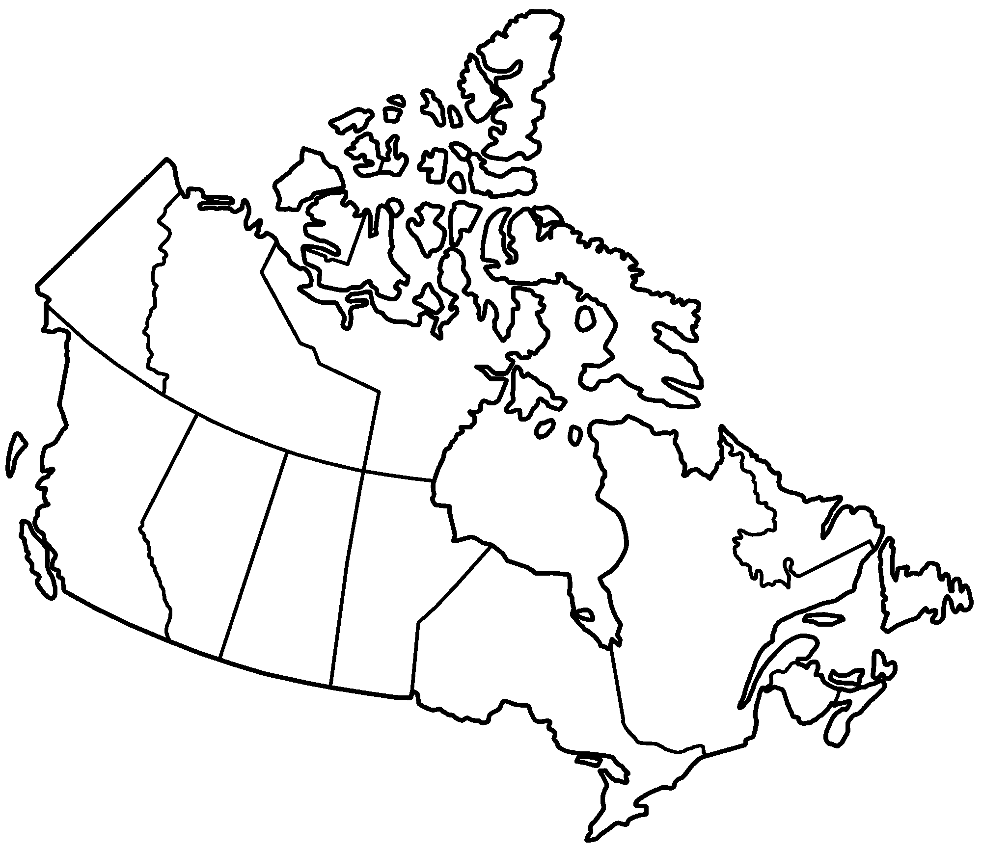
7 landform regions in canada
interior plains, western cordillera, Appalachian mountains, Innuitian Mountains, arctic and hudsons bay lowlands, st. lawrence lowlands, canadian shield.
what is geography
The study of places and the relationships between people and their environments, encompassing both the physical features of the earth and the human-made aspects of the world.
physical geography
the study of natural features and processes of the Earth, including landforms, climates, vegetation, and ecosystems.
human geography
people and things related to people or that they build (e.g. cities, transportation, etc.)
5 themes of geography
location, place, human environment interactions, movement, and regions.
Location
Absolute: A specific place on earths surface and uses a grid system.
Relative: Uses directional words to describe cardinal and intermediate directions. ( N, E, S, & W)
Place
what is it like there, what kind of place is it?
human characteristics (languages, customs, beliefs, population)
physical characteristics (mountains, rivers, type of soil, wild life, climate)
Human Environment Interaction
how people interact to the environment(s)
people:
adapt to their environment
modify their environment
depend on their environment
Movement
how people, goods, and ideas are moved from place to place.
human movement
idea movement
information movement
Regions
united by similar physical conditions
united by common cultural traits
provinces

maps
a symbolic representation of a place, typically drawn on a flat surface, that show the location of features and the relationships between them.
4 concepts of geography
spatial significance
patterns & trends
interrelationships
geological perspective
spatial significance
The importance of a particular location or area, considering its characteristics, features, and how it influences activities or events.
patterns & trends
Recurring arrangements or tendencies observed in geographical or other data.
Interrelationships
Connections and interactions between geographical elements specifically human and natural environments.
Geological Perspective
the concept requires students to consider the environmental, economic, political, and social implications of the issues, events, development, and/or phenomenon that they are analyzing.
sense of place
refers to the emotional connection and meaning individuals attach to a particular location, encompassing both cognitive(what a place is) and affective( how it feels) components.
3 W’s
whats where
why there
why care
latitude
Angular distance, measured in degrees north or south from the equator (0°); lines run horizontally.
longtitude
Angular distance, measured in degrees east or west from the Prime Meridian (0°); lines run vertically from pole to pole.
time zones in Canada
six main ones: pacific, mountain, central, eastern, atlantic, and newfoundland.
GIS: geographic information system
enabling geologists to analyze, visualize, and model spatial data related to the earths surface and subsurface.
GPS: global positioning system
GPS has transformed the field from inferring plate movements to directly measuring them, leading to more accurate models of earths behaviour.
igneous
formed from cooled magma or lava
metamorphic
Formed when existing rocks are changed by heat, pressure, or chemical processes.
sedimentary
formed from fragments of other rocks, minerals, and organic matter that are deposited and cemented together oevertime.
difference between weather and climate
weather changes day to day while climate is the average weather conditions of a region over a long period of time.
Orographic or relief precipitation
a type of rainfall produced when moist air is forced to rise over a mountain range or other elevated terrain.
Convectional precipitation
occurs when warm, moist air near the Earth's surface is heated, becomes less dense, and rises.
causes and impacts
earthquakes-the movement of tectonic plates
tsunamis-large earthquakes on or near the ocean floor
mudslides-Factors causing quick downhill movement of soil and debris.
ring of fire-plate tectonics
global village
the world considered as a single community linked by telecommunications.
human Development Index
a composite statistic used to rank countries by their level of "human development," which encompasses health, education, and standard of living.
How Countries Make Money
taxation, trade, and natural resource extraction.
GDP
a key measure of a country's economic output, representing the total market value of all final goods and services produced within a specific time period, typically a year or a quarte
surplus
a situation where the supply of a resource or asset exceeds the demand for it, resulting in an excess amount.
deficit
a situation where the demand for a resource or good exceeds its available supply within a specific area or for a particular population.
tariffs
taxes imposed by one country on goods and services imported from another country.
Canada Trading Partners
United States, China, the United Kingdom, and Japan.
free trade
a policy where governments do not discriminate against imports or interfere with exports through tariffs or subsidies.
Census
a survey of a population conducted by a governing body to gather information about its people, houses, or other items.
population
all the inhabitants of a particular town, area, or country.
demographics
the study of human populations
immigration and diversity
Immigration is a major driver of ethno-cultural diversity in Canada, with a large percentage of the population being immigrants or having immigrant ancestry.
immigration points system
an immigration system where potential immigrants are assessed and ranked based on a points system, with factors like education, language proficiency, and work experience contributing to the overall score.
demographic trends
refer to the changes in population characteristics over time, such as birth rates, death rates, migration patterns, and age distribution.
rural
a region located outside of cities and towns, typically characterized by open spaces, farmland, and lower population density compared to urban areas.
Urban
A human settlement with a high population density and a built environment, contrasting with rural areas.
urban sprawl
the growth of towns and cities spreading and taking over areas of the countryside.
land use planning
the process of managing how land is used to guide development and resource management decisions.
cities
due to a combination of geographical, economic, and historical factors that attract people to settle and build communities.
types of cities
residential cities, commercial cities, industrial cities, transportation hubs, and those with mixed functions