Unit 1 Map Projections and Coordinates
1/8
There's no tags or description
Looks like no tags are added yet.
Name | Mastery | Learn | Test | Matching | Spaced | Call with Kai |
|---|
No analytics yet
Send a link to your students to track their progress
9 Terms
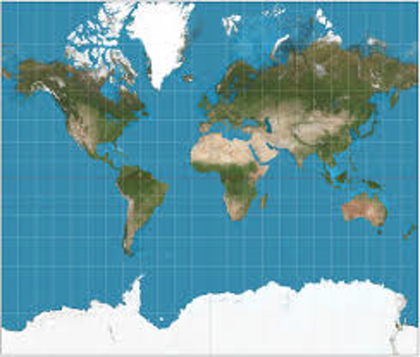
Mercator Projection
a cylindrical projection of the world where the cylinder touches at the equator resulting in increased size and distance distortion at the poles
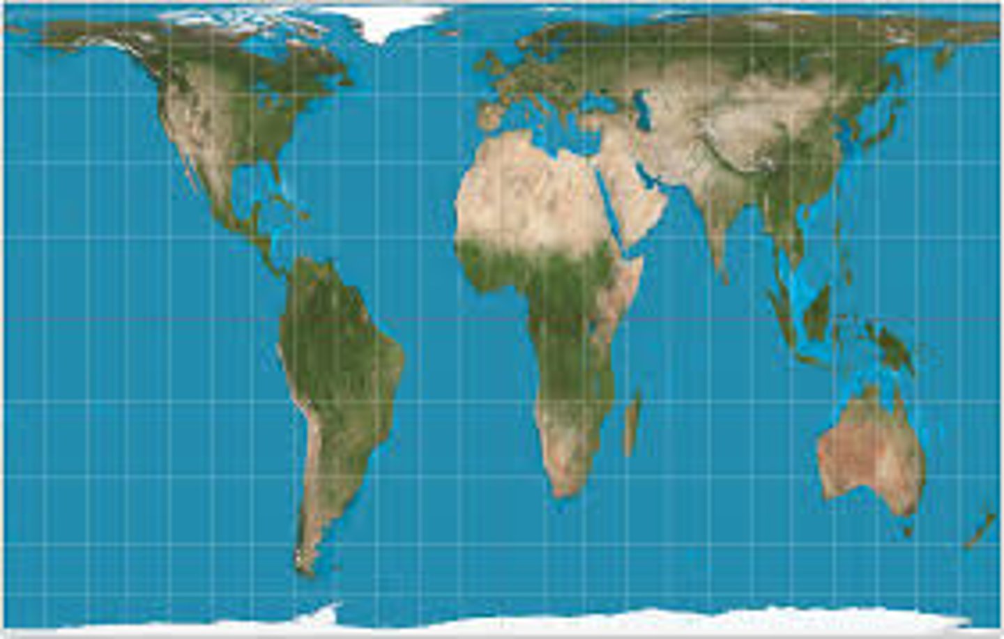
Peters Projection
a cylindrical, equal-area projection of the world purposely centered on Africa in an attempt to treat all regions of Earth equally (major distortions: shape and distance at poles)
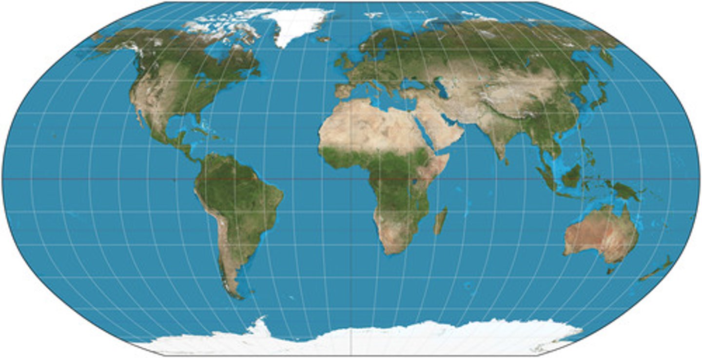
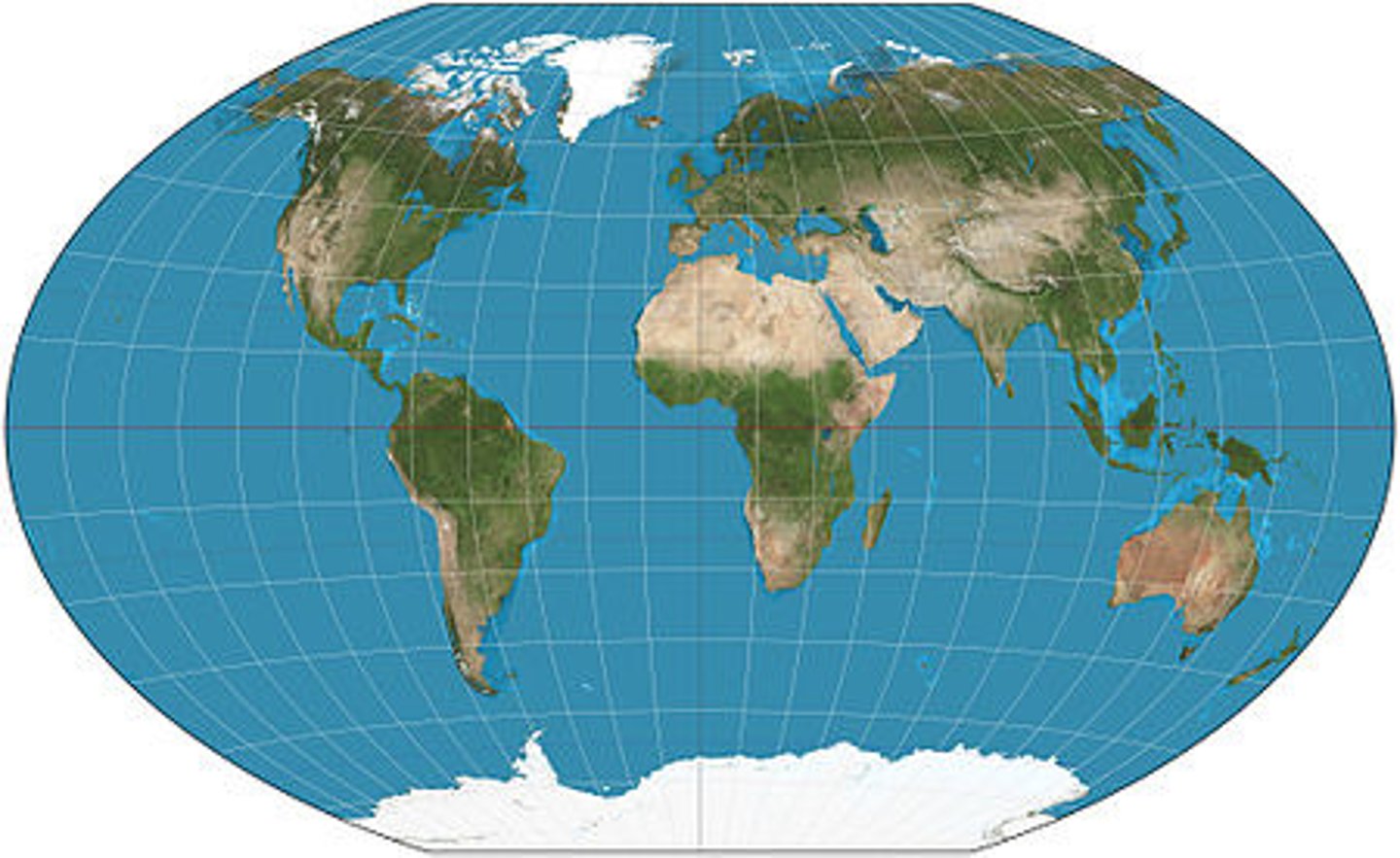
Robinson Projection
a map projection that attempts to balance distortions by distorting everything: size/area, shape, distance, and direction (latitude is straight, longitude is curved)
Winkle Triple Projection
a map projection with curved lines of longitude and latitude - the goal is more "accurate" shape and size/area
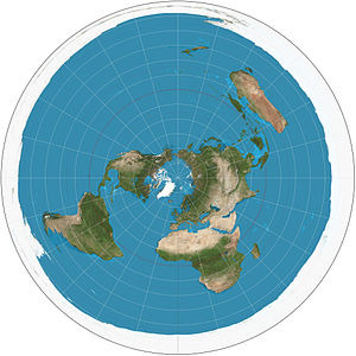
Polar Projection
an azimuthal map projection that is centered on one of the poles
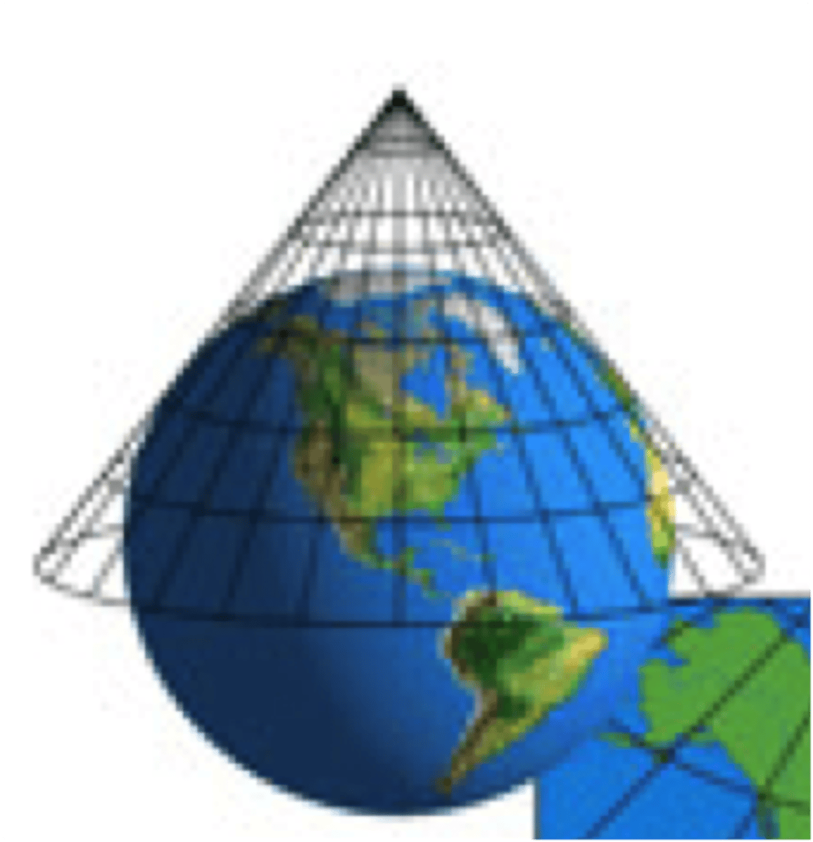
Conic Projection
a map projection that is made by moving the surface features of the globe onto a cone (useful for portions of the globe, such as the United States)
Longitude
the distance east or west of the prime meridian; lines run north/south (AKA meridian)
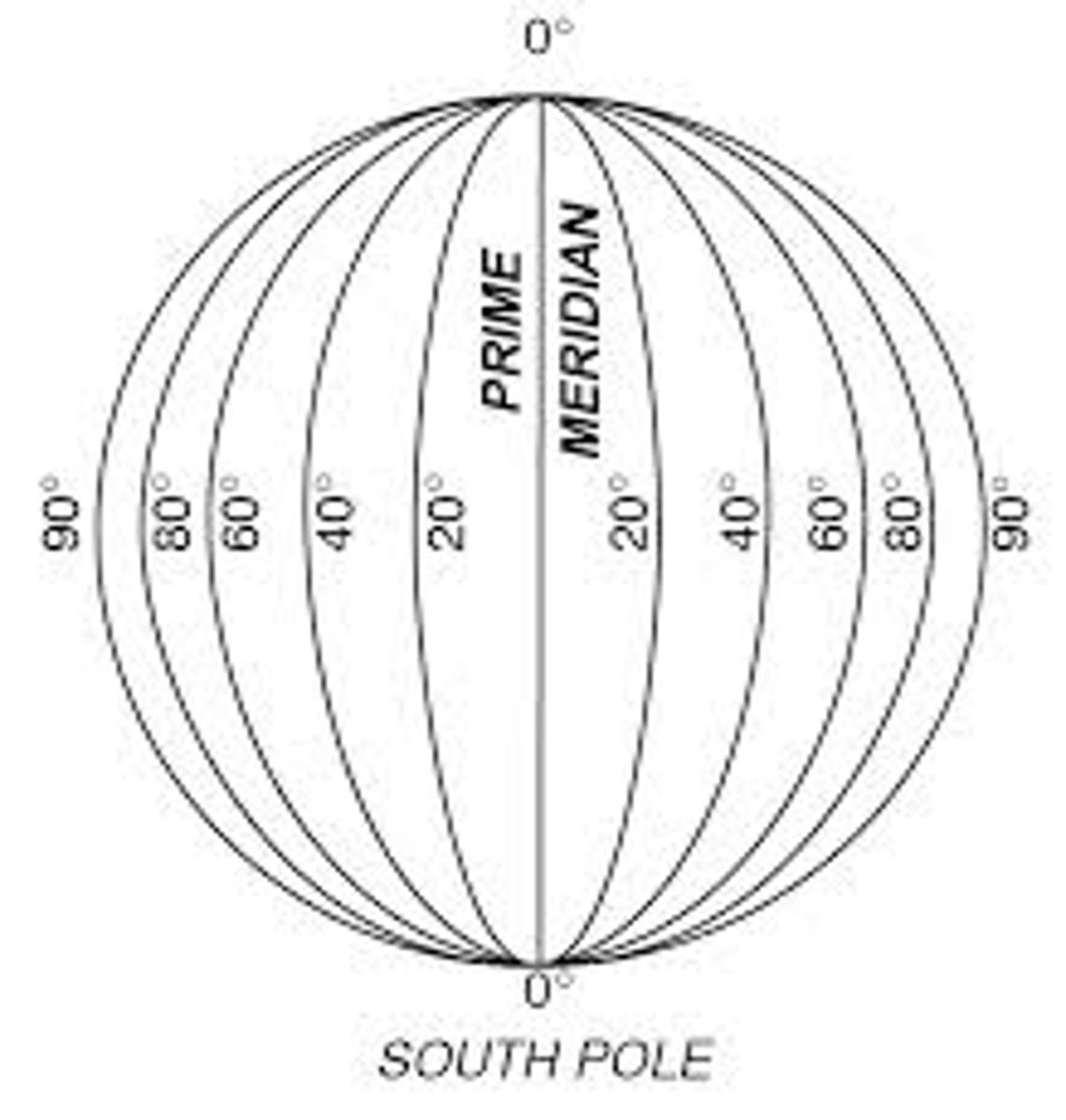
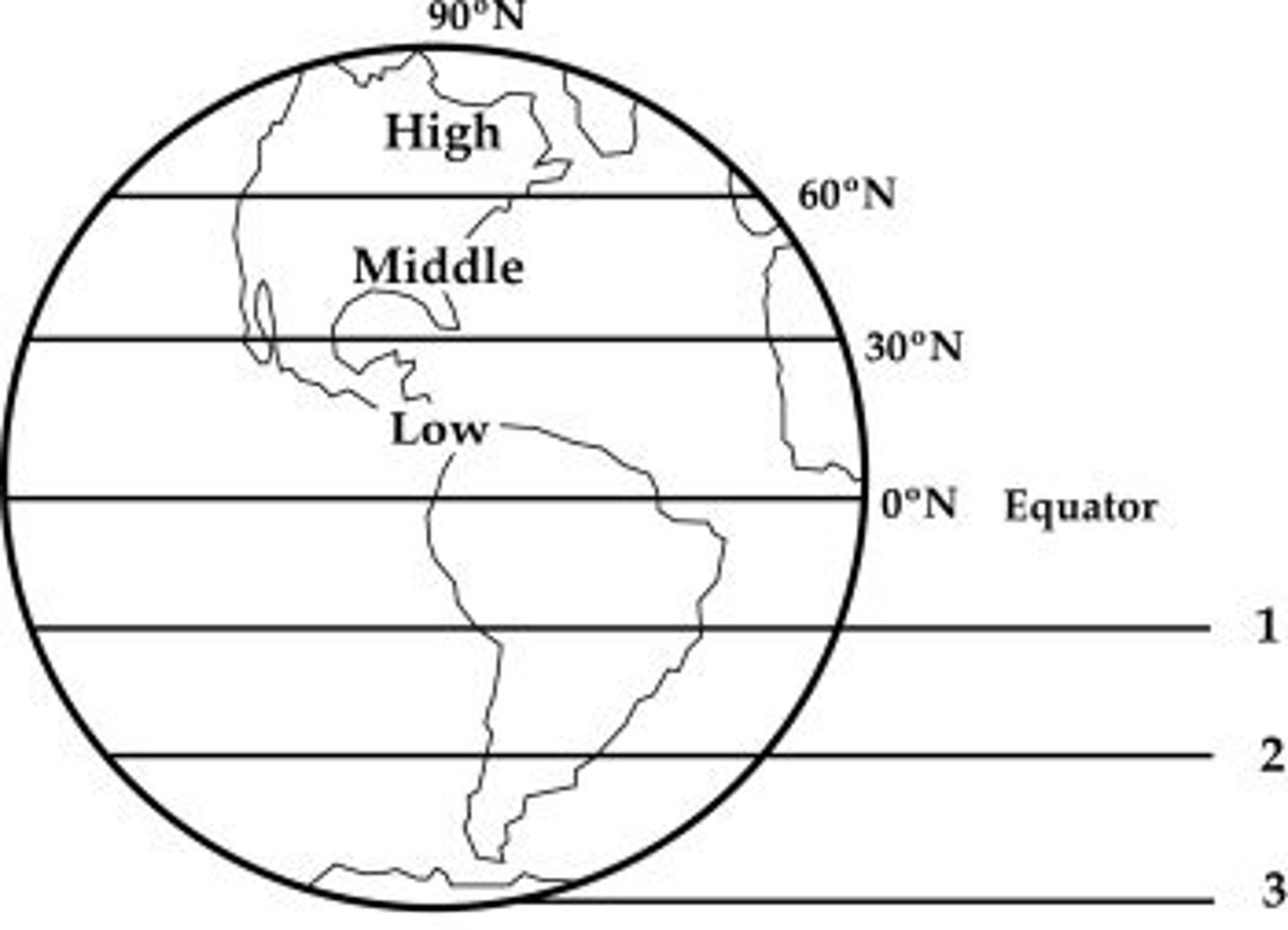
Latitude
the distance north or south of the equator; lines run east/west (AKA parallel)
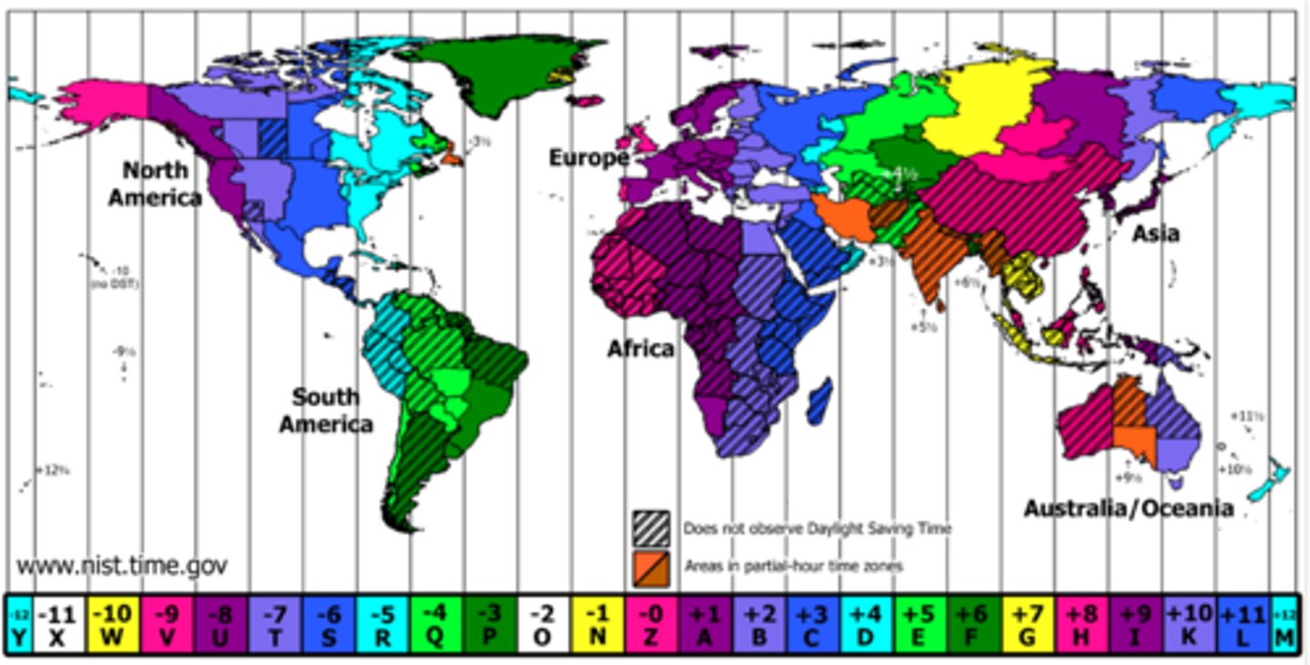
Time Zones
24 regions or divisions of the globe approximately coinciding with meridians at successive hours from the observatory at Greenwich, England