GIS Data Formats, Coordinate Systems, and Map Projections
1/37
There's no tags or description
Looks like no tags are added yet.
Name | Mastery | Learn | Test | Matching | Spaced | Call with Kai |
|---|
No analytics yet
Send a link to your students to track their progress
38 Terms
Aprx
project file
- stores everything related to the project
Ppkx
packaged project
Bookmarks function
return to a specific viewpoint on your map
Save project as
Renaming the project
TIFF
tagged image file format
- high-quality images
- uncompressed, larger sizes
GIF
Graphic interchange format
- small file
- ideal for simplistic drawings
JPEG
Joint photographic experts group
- most widely used for photographs
Feature attribute table
every feature has a record with attribute tables
Data (non-spatial) tables
Tables you can add
- Can add lat & long info but has to be processed to be seen
- can join to feature class to add more attributes
XY Data
Point data table with X and Y attributes (such as lat and long)
- you can do this in a standalone table and display xy data and it is a tool in geoprocessing
Exporting a feature class
you can go to copy feature geoprocessing select from outside the input and name the output whatever you want
Plain ASCII text with comma separated values (.csv)
- Very transportable format, very large files
- Each table record is row terminated with a line-break character (invisible, nonprinting value)
- Has values often separated by comma
Excel
.xls, .xlsx over a million rows and thousands columns allowed
dBase database table
.dbf Field names can only be 10 characters long and has max of columns
microsoft access database
.mdb
Geocodes
used to join external tables
FIPS Codes (2000)
- Federal information processing standards
- Codes for place names throughout the world
ANSI Codes (2010)
- Replaces FIPS codes
- does counties, cities, places
How to determine ANSI codes
first two #s will be the state then next 3 are the county and last #s are the minor civil division
ANSI statistical boundaries
- depending on the boundary how many digits after state and county
Tract: 6 digits
Block group: 7 digits
Block: 10 digits
ESRI Legacy Format
- Folder that has multiple files
- Can have points, lines, and/or polygons
- Has several intermediate data products like topology to speed up processing
- Multiple files, all having the same name but different file extensions
Geodatabase
container used to hold a collection of datasets
Personal Geodatabase
Stores datasets in a Microsoft access
- when you add data you go to the database to choose features, tables, or rasters
Difference between geodatabase and a project file
Geodatabase stores and organizes feature classes, tables, rasters. It can be used across multiple projects. A project file is your workspace for creating maps, layouts, data references and is specific to the project you are working on
Map Scales (1:24,000)
1 in on the map is 24,000 in. on the ground
Latitude
(parallels) 0 latitude (equator) 90° north and south
Longitude
(meridians) 0 longitude (vertical in the center) 180° east and west
Decimal Degrees
ex. 40° 26' 2'' 40+26/60 + 2/3600 = 40.43385°
- if it is west or south make sure it is negative!!!
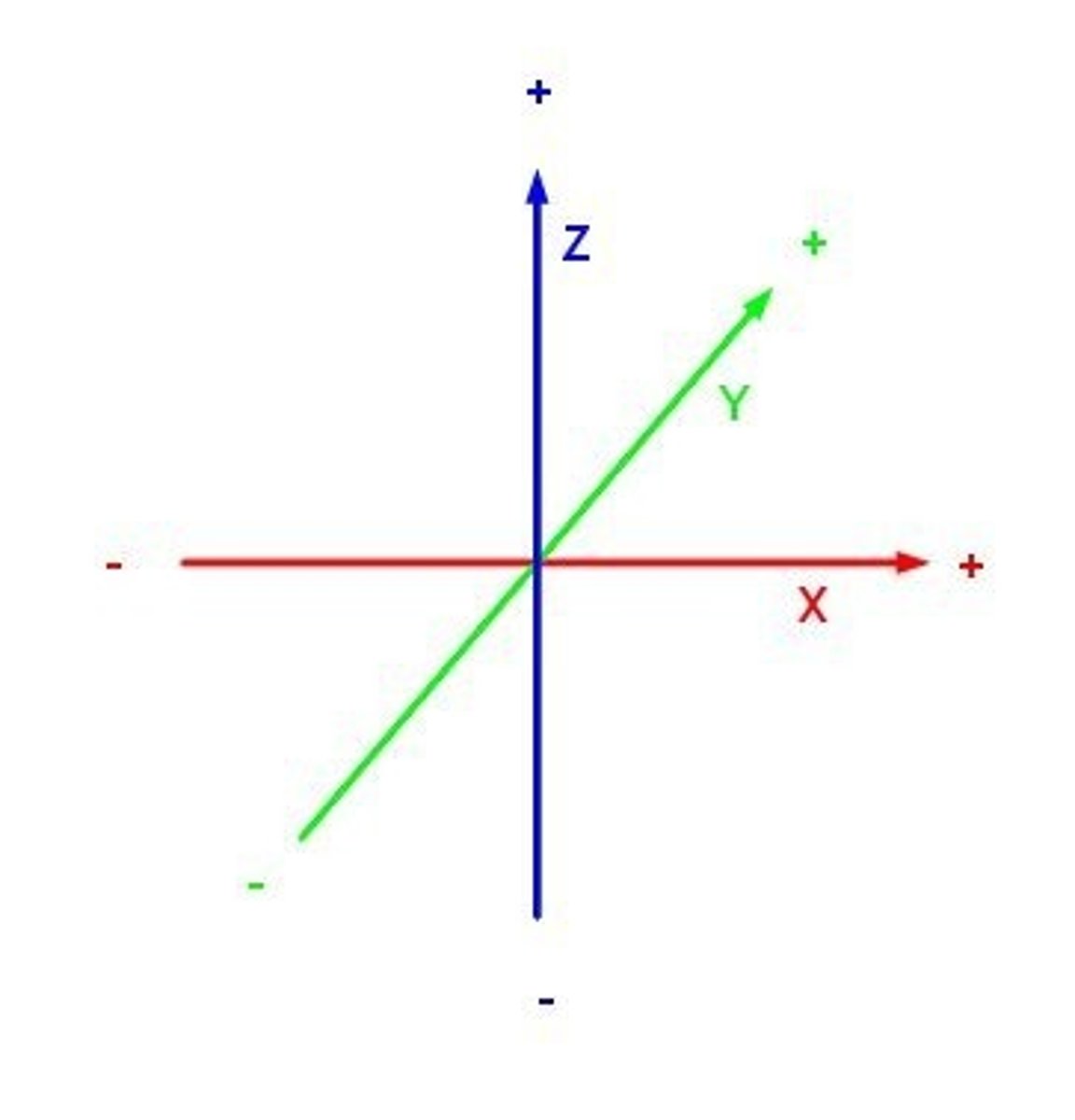
Cartesian Coordinate System
X, Y coordinates, feet or meters
State Plane Coordinates
- Most US local governments use this type of data
- All positive coordinates in feet or meters
- There is 125 zones. And at least one for each state
UTM (Universal Transverse Mercator)
- Used by US military and federal organizations
- Covers world besides north pole and south pole since no one really lives there
Have a specific zone
Metric coordinates
Map Projections
way to represent the curved surface of the earth on the flat surface of a map
Types of projections
- Planar (looks like a rectangle)
- Cylindrical (cylinder)
- Conic (triangle)
Conformal Projection
cylindrical, tangent to the equator
Direction is preserved, which is the good part but large objects can be distorted
Equivalent Projection
- Probably used most often
- It is a conic projection and preserves accurate area
- Shape and scale are not preserved but minimal distortion between standard parallels
- Good for finding distance, area
Compromise Projections
Looks proportional, looks better than the other projections, but doesn't preserve properties (why it is called compromise projections)
When projection is important vs not important
Important: small-scale maps
Not important: large-scale, business, policy
Coordinate systems
either through options or contents, projections/properties, coordinate system