Level 2
1/18
There's no tags or description
Looks like no tags are added yet.
Name | Mastery | Learn | Test | Matching | Spaced |
|---|
No study sessions yet.
19 Terms
latitude
Encircles the Earth parallel to the Equator
Longitude
Connects the poles
United States
Northern Hemisphere
&
Western Hemisphere
Latitude & Longitude are measured in
degrees, minutes, seconds
1° = 60', 1' = 60"'
On sectional charts, lines are shown
every 30 min
MSL
(above) mean sea level
AGL
Height above ground
Federal airways Floor are at what height
1200 AGL
CT
control Tower
ATIS
weather info
where to find skydiving operations
chart supplement
untoward airports are what color
magenta
Towered airports are what color
Blue
CTAF; DEF.
Common traffic advisory Frequency
ATIS; DEF.
Automated terminal information System

VFR. checkpoint
pilot reference
private airport(what’s the symbol)
VORTAC
navigational transmitter
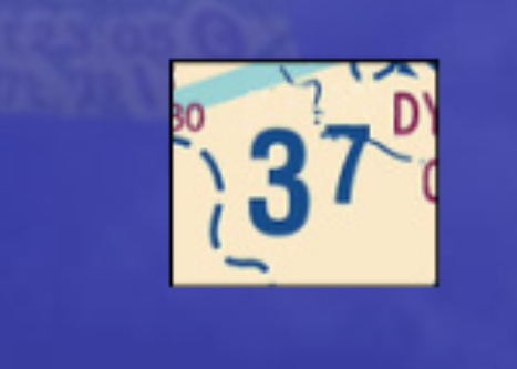
MEF; DEF.
Maximum Elevation Figure