Philippine Architecture: Overview and Influences
 Call Kai
 Learn
Learn Practice Test
 Spaced Repetition
 Match
Match Flashcards
 Knowt Play
1/17

There's no tags or description
Looks like no tags are added yet.
Name | Mastery | Learn | Test | Matching | Spaced | Call with Kai | Chat |
|---|
No analytics yet
Send a link to your students to track their progress
18 Terms
Murillo Velarde Map
1734 map reflecting Philippine territorial extent.
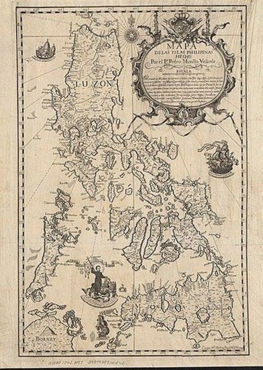
Nicolás de la Cruz Bagay
ENGRAVER of Murillo Velarde Map
Francisco Suarez
ARTIST of Murillo Velarde Map
Fernando Valdes y Tamon
Map was created upon the behest of then governor-general from order of King Philip V
Sierra Madre Mountains
(longest mountain range in the Philippines)
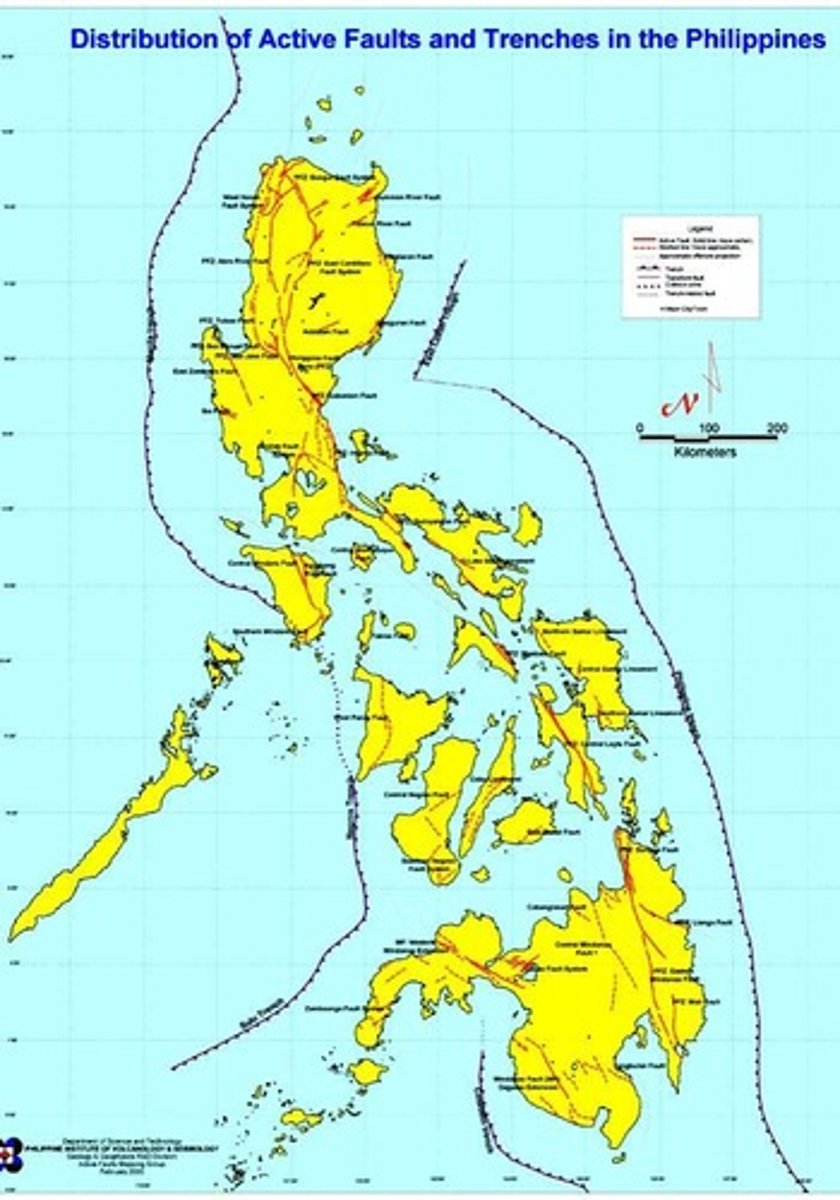
Pacific Ring of Fire
Region prone to earthquakes and volcanic activity.
Animism
Nature worship practiced before Spanish colonization.
Barangay
Early socio-political unit in Philippine governance.
Anitos
good spirits
Mangales
bad spirits
Luzon
Largest island, home to major mountain ranges.
Visayas
Central island group known for cultural diversity.
Mindanao
Southern island with rich cultural heritage.
Filipino Language
Regulated by Komisyon sa Wikang Filipino.
Major Indigenous Languages
Includes Tagalog, Cebuano, Ilocano, and Hiligaynon.
Age of Exploration
15th-17th century period of global exploration.
AMIHAN
Northeast monsoon affecting eastern provinces.
HABAGAT
Southwest monsoon impacting western regions.