Module 2.3: Soil and Groundwater
1/75
There's no tags or description
Looks like no tags are added yet.
Name | Mastery | Learn | Test | Matching | Spaced |
|---|
No study sessions yet.
76 Terms
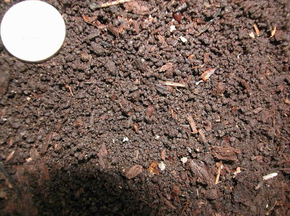
Soil
Any solid earth material that can be removed without blasting (definition by engineers)
Solid earth material that has been altered by physical, chemical, and organic processes such that it can support rooted plant life (definition by soil scientists)
Rock, air, water, and organic material
Soil involves the combination of these elements.
Mineral matter (~45%)
A soil component that is disintegrated and decomposed rock (also state the percent composition)
Water (~25%)
A soil component which is a complex solution containing many soluble nutrients (also state the percent composition)
Air (~25%)
A soil component which is the source of oxygen and carbon dioxide (also state the percent composition)
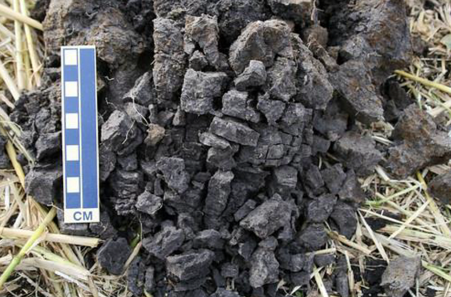
Humus or organic matter (~5%)
A soil component consisting of decayed remains of plants and animals (also state the percent composition)
Ecosystem services
Soil preservation is important in this aspect as it provides essential nutrients to forests and crops, filters water, and enhances water retention.
Land use planning
Soil preservation is important in this aspect as it is the foundation of urbanization, timber management, and agriculture.
Waste management
Soil preservation is important in this aspect as it maintains the sustainability of a site.
Climate change
Soil preservation is important in this aspect as healthy soil regulates Earth’s temperature, mitigates impacts of extreme weather events, and reduces erosion.
Weathering
The first step in soil development involving physical and chemical breakdown of rocks
Rocks are then further modified by the activity of soil organisms.
Parent material
An important factor in soil formation as it is the source of the mineral matter.
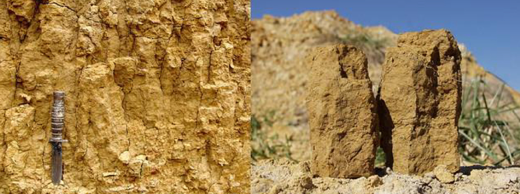
Residual soil
Type of soil formed directly from the weathering of underlying bedrock and remains at its place of origin
Transported soil
Type of soil formed from unconsolidated sediments carried away from its source by agents such as wind, water, or ice and deposited elsewhere
Slope
An important factor in soil formation as it influences erosion, water movement, and vegetation patterns
Steep slopes
Slopes that lead to poorly developed soils
Have low moisture content and accelerated erosion
Gentle slopes
Slopes that lead to average soils
Have some drainage and less erosion
Flat to undulating upland
Slopes that create great soils for vegetation
Have good drainage, minimum erosion, sufficient infiltration of water, and is the optimum terrain for soil development
Marshes and swamps
These are types of wetlands that have thick, dark soils which are poorly drained and water-logged, even at an optimum slope.
Time
An important factor in soil formation since the longer the soil has been forming, the thicker it becomes, and the less it resembles the parent material
Climate
An important factor in soil formation and is the most influential
It affects soil formation through temperature, precipitation levels, and the type of plant and animal life present in the area
Plants and animals
An important factor in soil formation as they have a strong influence on the chemical and physical properties of the soil
Their decay produces organic acids which hastens weathering.
They provide organic matter to the soil which enhances its fertility.
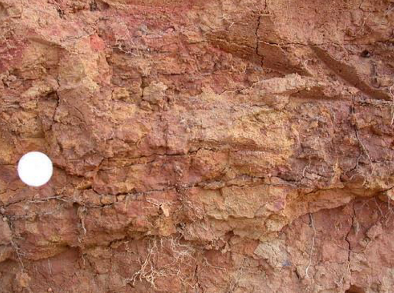
Soil profile
Vertical cross-section from the surface down to the parent material
Soil horizons
Distinct layers formed in well-developed soils
Mature soil
Type of soil characterized by a well-developed profile - indicating that the environmental conditions have been relatively stable over an extended period
Immature soil, steep
Type of soil characterized by the lack of horizons as development has been going on only for a short time (e.g. _ slopes)
O horizon
Soil horizon characterized by loose and partly decayed organic matter
A horizon
Soil horizon characterized by mineral matter mixed with some humus
E horizon
Soil horizon also known as zone of eluviation
Eluviation is the leaching of dissolved or suspended material removed by water from an upper horizon
B horizon
Soil horizon also known as zone of illuviation
Illuviation is the deposition of materials from eluviation.
It is characterized by the accumulation of clay, iron, and aluminum.
O, A, E, and B horizons
Soil horizons which constitute the soil that can support plant life
C horizon
Soil horizon made up of the partially altered parent material
Regolith
It is the layer of loose, unconsolidated material that covers the solid bedrock.
Composed of horizons O to C
R horizon
Soil horizon composed of unweathered parent material
Also known as the bedrock
Through visual or tactile inspection
Two ways to estimate the size of soil particles
Sand
Visual: Individual grains can be seen
Tactile: Gritty
Silt
Visual: Grains can be seen with a 10x hand lens
Tactile: Like baking flour
Clay
Visual: Cannot see the grains with 10x hand lens
Tactile: Cohesive
Soil texture triangle
It is a diagram developed by the US Dept. of Agriculture to show soil texture classes.
It indicates the percent clay, percent silt, and percent sand of a sample.
Loam soil
It is the type of soil best for plant life ue to better moisture characteristics and nutrient storage capacity in comparison to soil that are predominantly clay or coarse sand.
Granular
Soil structure characterized by 1-10 mm grains usually found in the A horizon
Can also be found in B and C horizons
Blocky
Soil structure characteritzed by 5-50 mm grains usually found in the B horizon
Usually designated as angular or subangular
Prismatic
Soil structure characterized by 10-100 mm grains usually found in the B horizon
Called columnar structure if they have rounded tops
Platy
Soil structure characterized by 1-10 mm grains usually found in the E horizon
May also be found in B horizons
Laterite
Type of soil that is red due being highly leached by oxides of iron (Fe) and aluminum (Al)
Pedocal
Type of soil made from pedon (soil) and calcite
Pedalfer
Type of soil derived from pedon (soil) and aluminum (Al) and iron (Fe)
Groundwater
It is freshwater located beneath the ground.
Hydrologic cycle
It is the biogeochemical cycle that recharges the supply of groundwater.
Intergranular
Type of groundwater storage that occurs when it fills spaces between sand grains
Crevice
Type of groundwater storage as it permeates igneous rocks
Solution openings
Type of groundwater storage as it permeates limestones
Porosity
It measures the amount of water that can be held by rocks or sediments.
Calculated by “volume of voids / total volume of material”
Grain size, sorting, and grain packing
The three main factors that affect porosity
Less porosity
When soil is poorly sorted
When soil has rhombohedral packing instead of cubic
When grains are fine-grained instead of well-rounded and coarse
Permeability
It is how easily water can flow through the rock or unconsolidated sediment.
Describes how pores are shaped and interconnected
Gravel
It is the most permeable among all sediment types.
Clay
It is the most porous among all the sediment types.
Aquifer
Rock that stores and transmits groundwater
Unconfined aquifer
Type of aquifer bounded at the bottom by a confining unit
Its water rises to the water table
Confined aquifer
Type of aquifer bounded on top and bottom by confining unites
Water rises to the piezometric water level (potentiometric line/surface) due to natural pressure in rocks
Perched aquifer
Unconfined aquifer defined by a discontinuous confining unit
It has a local water table usually aove the main/regional water table
Water table
The boundary between water-saturated ground and unsaturated ground
Karst topography
It is the distinctive topography that indicates dissolution of underlying rocks by surface water or groundwater.
Caverns
An underground chamber often formed by acidic groundwater dissolving soluble rock at or just below the surface in the zone of saturation
Speleothems
Mineral formations found within caverns formed by deposition of minerals from dripping water in the zone of aeration
Stalactites
Speleothems that hang from the ceiling of a cavern
Stalagmites
Speleothems that grow upward from the cave floor
Columns
Speleothems that form when stalactites and stalagmites meet
Springs
Water bodies that form when the water table, confined aquifers or groundwater-bearing fractures intersect ground surface
Sinkholes
Formed through slow dissolution of limestone by downward-seeping rainwater charged with CO2
Can also form when the roof of a cavern collapses under its weight
Igneous and metamorphic rocks
Types of rocks typically not known to store significant amounts of groundwater
Land subsidence, sinkhole formation, saltwater encroachment, contamination, depletion
Five main groundwater-related problems
Land subsidence
Sinking or settling of the Earth’s surface in a downward vertical movement
Well pumping from aquifers lowers the water table and produces a cone of depression, resulting in subsidence
Saltwater encroachment or saltwater intrusion
The movement of saltwater into freshwater sources, including groundwater
Well pumping can cause an unnatural flow of saltwater towards freshwater sources
Water gap
Human demand exceed the renewable supply based on global trends (according to the Utrecht model)