Leaving Cert Geography Short Questions
1/99
There's no tags or description
Looks like no tags are added yet.
Name | Mastery | Learn | Test | Matching | Spaced | Call with Kai |
|---|
No analytics yet
Send a link to your students to track their progress
100 Terms
Asthenosphere
the upper part of the mantle that flows like treacle
Moho
is the mark between the crust and the mantle (moho discontinuity)
2 minerals in earth's core
Iron and Nickel
Lithosphere
The upper part of the mantle and crust
Endogenic forces
Forces that change the earth's crust from the inside
Exogenic forces
Forces that change the earth's crust from the outside
The focus
Point at the depth ; place where seismic waves emit from
Epicentre
the point on Earth's surface directly above the focus, place where most damage occurs
3 main folding periods...
1- Ancient Caledonian folding period 400 million years ago e.g Leinster mts
2- Armorican folding period 3o00 million years ago
e.g munster ridge valley provence
3- young Alpine folding period 50 million years ago
outside Ireland e.g Alps
folding is also known as
orogeny
Faulting
Crack in the earth's surface where two pieces of land are moving in different directions ( pressure and friction building)
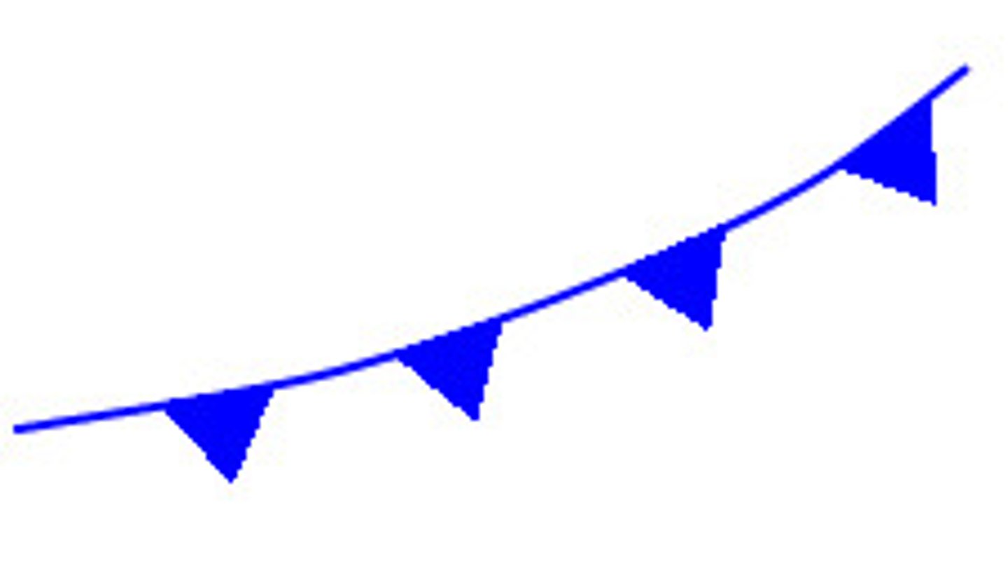
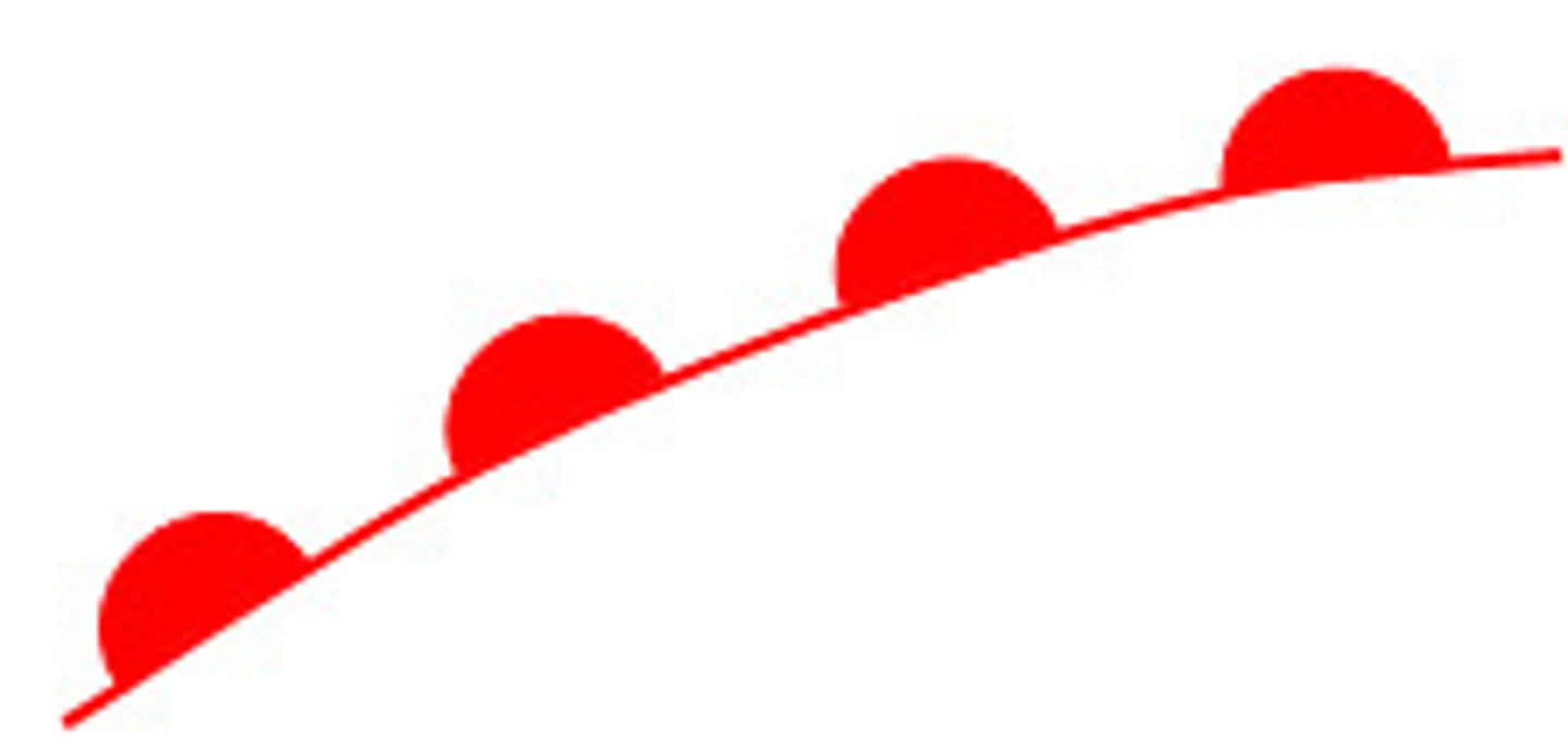
Folding
the bending of rock layers due to compression of tectonic plates ( bend and uplift with aid of heat making rock flexible)
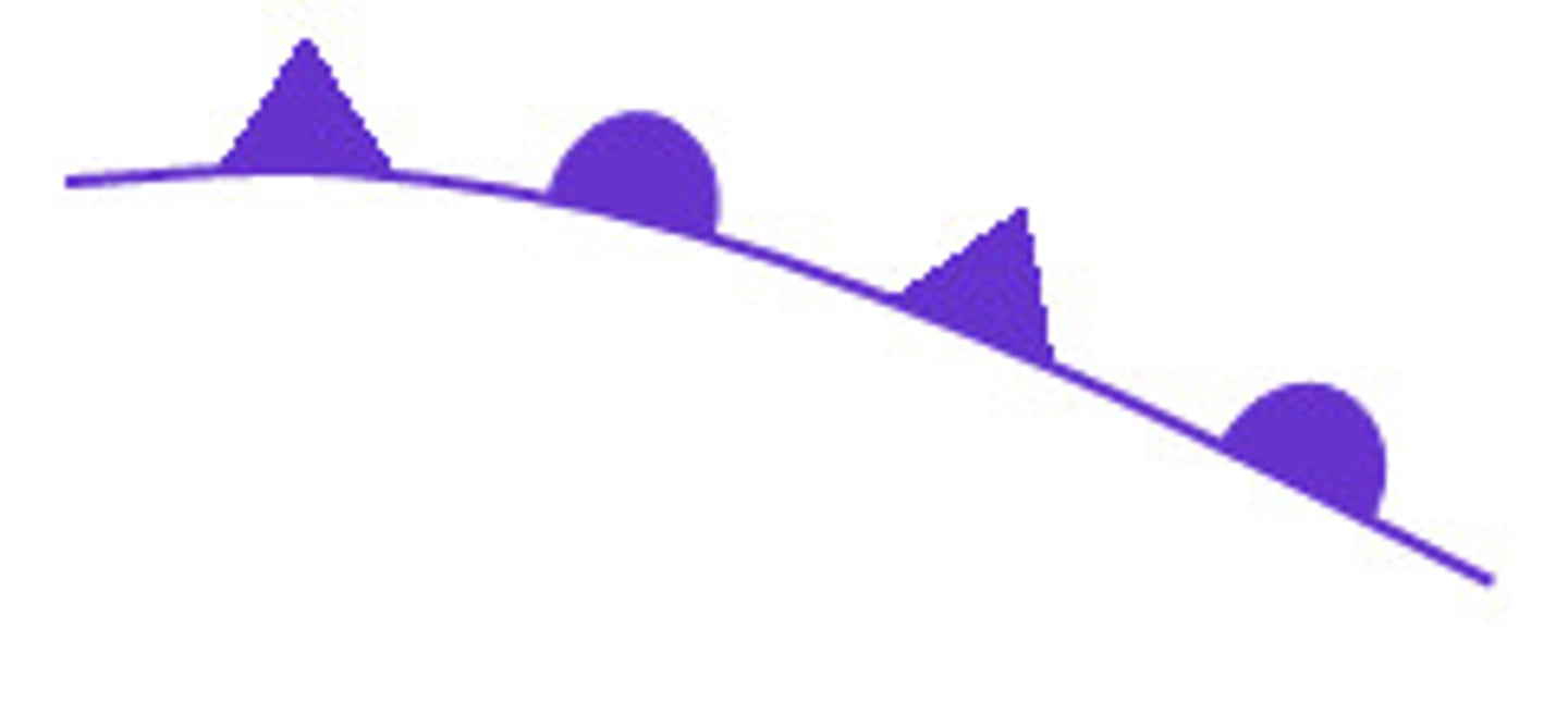
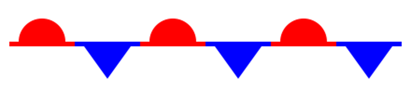
symmetrical folds
where equal pressure was applied to both sides
asymmetrical folds
where pressure was applied more on one side making it more slanted on one side
overfold/recumbent fold
-when more pressure applied on one side causing rock to overturn on itself
-recumbent folds are when overfold becomes horizontal
Normal fault
Type of fault where the hanging wall slides downward; by being pulled apart... revealing fault scarp (rock face)
landform created by normal fault is...
A rift valley, where there's two normal faults parallel e.g the great african rift valley
Reverse fault
a type of fault where the hanging wall slides upward; caused by compression in the crust
landform created by reverse fault is...
A block mountain/a horst, where there are two parallel reverse faults e.g Ox mountains
Thrust fault
type of reverse fault dipping less than 20 degrees
Tear/Transform Fault
is where there is a vertical fault in landscape but the movement has been horizontal
The rock cycle
the series of processes that change one type of rock into another type of rock, by either external or internal processes
external: weathering and erosion
internal: melting, great heat and pressure
Uses of rock
sedimentary: limestone - statues
igneous: granite - worktops
Limestone pavement
is a bare karst landscape found in Burren
Horizontal joints
beddings planes
Vertical joints
Joints
pavement
consists of clints and grikes - which are widened by process of carbonation
Carbonation
rain soaks up carbon dioxide = weak carbonic acid
acid rain falls on limestone which contains calcium carbonate
acid rain turns carbonate into bicarbonate (soluble) which is the washed away by rain
surface karst features
swallow hole doline
swallow hole
an enlarged joint into which water falls
doline
sinkhole
under ground karst features
caves, stalagmite, stalagmite and pillar
stalagtite
rain water dripping from cave roof
rain drops evaporate slightly leaving a
ring-like deposit of calcite
calcite ring builds up to form straw-like
rock fragment can block straw,so calcite on outside:carrot
stalacmite
water drops onto floor
evaporates slightly leaving little mound of calcite on the floor
gradually builds up forming stalacmite
pillar
stalactite met stalagmite in middle
curtain stalactite
crack in roof of cave, calcite deposits in curtain design
Bedrock
The solid layer of rock beneath the soil, found hundreds of metres below the surface
Alluvium
Fine, fertile sediment found at oldest part of river, alluvium is deposited by a river during times of flood
e.g point bar, floodplain
Primary economic activities NW Ireland...
Primary way to earn money in NW...
agriculture
forestry
fishing
fish farming
mining
Secondary economic activities NW Ireland...
secondary way of making money...
big companies e.g merit medical
Tertiary economic activities NW Ireland...
3rd way of making money...
transport
tourism
communications
Fetch
the distance a wave has travelled over water before reaching land
Constructive waves
have a strong swash, bringing up material and depositing it on beach - constructing a beach
Destructive waves
occur in stormy conditions, pounding + eroding coastline. Destructive have strong backwash... pulling and dragging the rock back out to sea with them
Wave refraction
is the bending of the wave crests in towards coastline/ copy the shape of the coastline e.g headlands and islands
Hydraulic action (sea)
the force of moving water - pounding the coastline and wearing it away
Abrasion (sea)
when the sea's load hits and scrapes the coastline, wearing it down
Air compression (sea)
when waves force air into cracks in rock, causing cracks to expand. when waves are released the air is released letting rock to contract again. this continuos expansion and contraction of rock eventually causes it to crack and crumble
Attrition (sea)
is the sea's own load wearing itself down - by hitting+ eroding itself down
Solution (sea)
the salt in saltwater chemically erodes rock on coastline
landforms of marine erosion
bays & headlands
caves, arches, sea stacks, sea stumps
cliffs & wave cut platforms
bays & headlands
-bays are large indentations in the coast (soft rock)
e.g Galway bay
-headlands just out to sea (hard rock)
e.g hook head
caves arches sea stacks stumps
erosion processes combine to enlarge cracks in rock to form caves.. which turn into arches... which turn into sea stacks... which turn into sea stumps e.g Mizen head Co.Cork
Cliffs
are steep slopes of rock formed where land meets sea
Wave-cut platforms
This feature is formed as a result of cliff retreat/ cliff slumping
Marine transport...
long shore drift = material being moved up the shore at angle then pulled out to sea by right angle
Features of marine deposition
1 beaches
2 sand spits
3 tombolos
Beaches
form in sheltered areas where constructive waves deposit material e.g Tramore beach
Sand spits...
long deposits of sand with one end attached to land.
spits form when long shore drift interrupted
e.f Inch strand Kerry
Tombolo
a sand spit that grew out from mainland and attached to an island: Tombolo connects island to mainland
e.g Sutton, Dublin
The ground water table
Line/level marking where rock moves from unsaturated to saturated
human interaction to encourage deposition
Fences in sand dunes to encourage build up of wind blown sand. Fences also prevent the trampling of marram grass ( which hold dunes together)
human interaction to prevent erosion
massive rock armour placed at coast/existing sea wall which absorbs waves energy e.g Lahinch
Mass movement
is the movement of regolith downhill under the influence of gravity
Factors affecting mass movement
natural:
water - if soil is saturated it moves downhill quicker
vegetation - plant roots bind soil together, if plants are gone soil is more loose
Human:
undercutting of soil when building roads
deforestation
skiing in snow
soil creep is slow
evident of bent tree trunks and terrecettes in hill
solifluction sow and wet
soil moving downhill due to permafrost melting
mud flow
fast and wet - usually triggered by torrential rain, saturating soil and causing it to flow downhill, dangerous
Lahar
fast and wet. Lahars form when volcanic ash mixes with water, usually after torrential rain
slump/landslide
rotational slump, sediment suddenly moves downhill
Avalanches
fast and dry, avalanches are classified as dry mass movement as snow flakes act as dry particles.
Rock-falls
fast and dry, exposed rock faces exposed to weathering eventually break down into scree.
scree can become rock fall
name given to lines on a weather map
isohyets
is rainfall more likely during an anticyclone or a depression
depression
what kind of front is this
cold front
what kind of front is this
warm front
what kind of front is this
occluded front
what kind of front is this
stationary front
what unit of measurement is used to measure atmospheric pressure
hectopascal (hPa)
what is the average sea level air pressure
1013 mb
areas with an air pressure of over 1013 mb are areas of _________ pressure
high
areas with an air pressure of lower than 1013 mb are areas of _________ pressure
low
what is a H a symbol of
anticyclones
what is L a symbol of
depression / low pressure
What type of weather is associated with anticyclones?
good weather, clear skies, little wind
What type of weather is associated with a cold front?
bad weather, rain, high winds,
what is it called when isobars make a sharp bend around a low
trough
what weather would be found at the front of 2 air masses
stormy weather
What is a stationary front?
Where two air masses meet, but neither one advances.
What is a cold front?
a front that occurs when a cold air mass moves in and replaces a warm air mass
What is a warm front?
Warm air that moves forward and rises over top of the cooler air.
What is an occluded front?
when a cold front overtakes a warm front
Name one example of a mountain range formed by folding found outside Ireland.
The Himalayas, Alps, Andes
Explain seismologist.
A person who studies earthquakes.
Explain seismometer.
Machines that detects and records earthquakes.
Name two factors that influence the operation of mass movement processes.
Weathering and the removal of vegetation cover.
Name two European Union member states not in the Eurozone area in 2015
Sweden and Denmark.
Name two non-European Union member states using the Euro in 2015.
Vatican City and Andorra.
Name two periods of Fold Mountain building that shaped the Irish landscape over the last 400 million years.
Alpine and Armorican orogeny
Name one process of coastal transportation associated with the formation of sand spits, lagoons and tombolos.
Longshore drift and prevailing winds.