Social studies vocabulary quize study set:
 Call Kai
 Learn
Learn Practice Test
 Spaced Repetition
 Match
Match Flashcards
 Knowt Play
1/24

There's no tags or description
Looks like no tags are added yet.
Name | Mastery | Learn | Test | Matching | Spaced | Call with Kai | Chat |
|---|
No analytics yet
Send a link to your students to track their progress
25 Terms

Absolute location
The exact fixed spot of a place on Earth. It never changes no matter who is looking or where they stand.
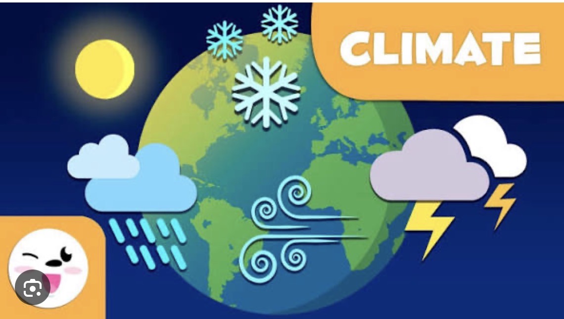
Climate
the average weather pattern in a place over a long time, usually 30 years or more. It tracks changes in temperature, rainfall, wind, and humidity.
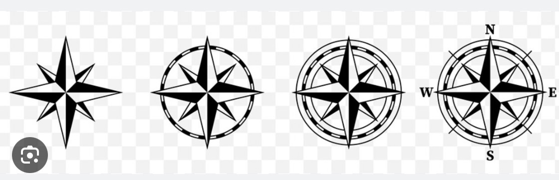
Compass rose
a circular design on maps and charts that displays the main directions north, south, east, and west - along with intermediate points.
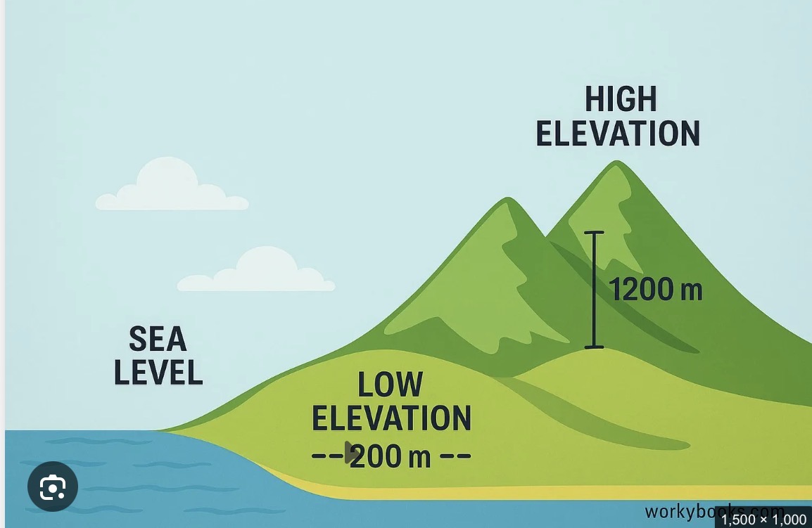
Elevation
the height of a point on the earths surface above sea level.
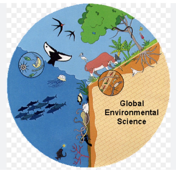
Environment
the sum of all living and non-living things conditions, and influences that surround an organism or community.
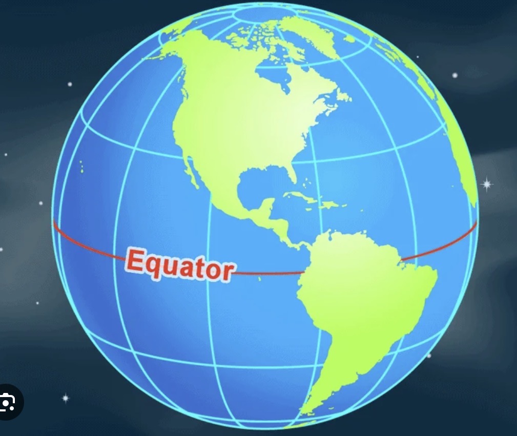
Equator
an imaginary line at 0 degrees latitude that circles the middle of the Earth.

Geography
the study of Earth’s lands, features, inhabitants, and phenomena.

Hemisphere
half of a round ball or sphere.
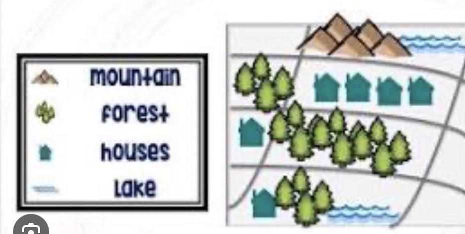
Key
a small box on a map that explains what the lines, colors, and symbols mean.
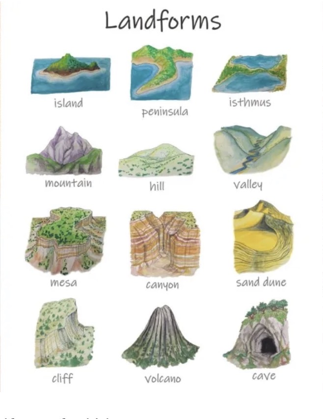
Landform
a natural feature on the solid surface of the Earth or another planetary body.
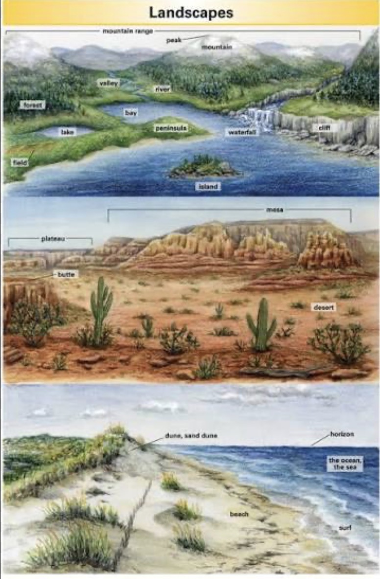
Landscape
the visible features of an area of land including physical land forms like hills and water bodies, living plant cover, and human-made structures.
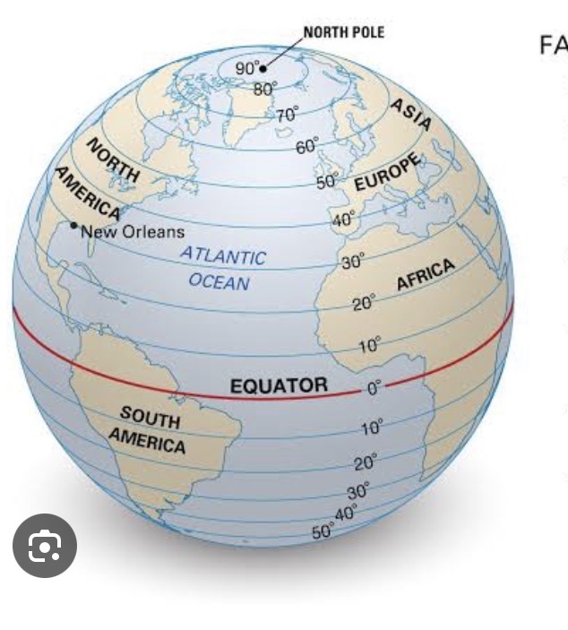
Lines of latitude
also called parallels and imaginary horizontal circles that run east and west abound the Earth.
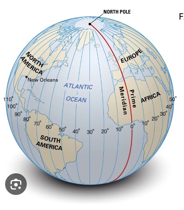
Lines of longitude
also called meridians are imaginary vertical lines that run form the North Pole to the South Pole.

Map projection:
a mathematical method used to flatten the curved three dimensional surface of a globe to a two-dimensional flat plane.

Prime Meridian
the imagination line of 0 degrees longitude that runs from the North Pole to the South Pole.
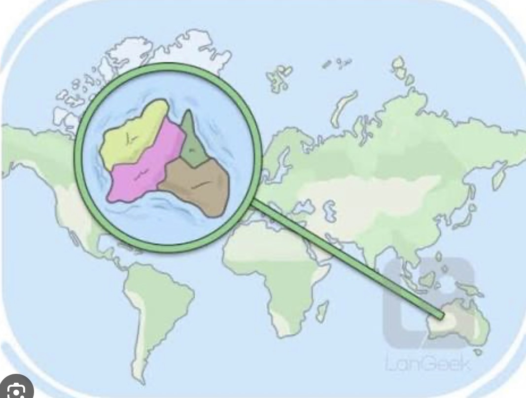
Region
a specific area or division of Earth's surface of any brand space that is grouped together because of shared physical political or cultural features.
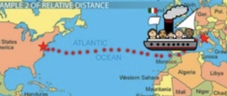
Relative location
describes where a place is by showing its connection to other places, land marks, or things.

Relief
the difference in height between the highest and lowest points of a land area.
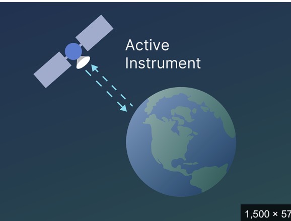
Remote sensing
the process of getting information about an object, area, or planet from a distance without touching it.

Resources
any physical material or substance or assist form the environment that humans value, need, and use the satisfy their wants or improve their quality of life.

Scale
the relationships between a distance on a model, map, or observation and the actual distance on the ground.

Scale bar
a small divided line or ruler printed on a map.

Spatial
relating to space on Earth’s surface and how things are arranged, organized, or distributed across an area.

Technology
tools, systems, and methods such as geographic information system(GIS), GPS, and remote sensing-used to collect, store, analyze, and visualize practical data to solve real world problems.

Thematic map
a specialized map focused on a single topic, theme, or dataset across a geographic area.