METAR & TAF
 Call Kai
 Learn
Learn Practice Test
 Spaced Repetition
 Match
Match Flashcards
 Knowt Play
1/179

Earn XP
Description and Tags
METAR and TAF codes abbreviations
Name | Mastery | Learn | Test | Matching | Spaced | Call with Kai | Chat |
|---|
No analytics yet
Send a link to your students to track their progress
180 Terms
$
Needs maintenance
+
Heavy intensity
ACC
Altocumulus castellanus

ACSL
Altocumulus Standing Lenticular Cloud

A02
Automated Station with Precipitation Discriminator
APCH
Approach
APRX
Approximately
AUTO
Fully automated report
BC
Patches
BL
Blowing
C
Center (Runway designation)
CB
Cumulonimbus cloud
CC
Cloud-cloud lightening - An electrical discharge that travels between two or more separate storm clouds.
CD
Candela
CHI
Cloud-height indicator
CIG
ceiling
CONS
continuous
DOC
Department of Commerce
DOT
Department of Transportation
DS
Duststorm
DSNT
Distant
DZ
Drizzle
FEW
few clouds
FIBI
Filed but impracticable to transmit - automated or manual weather observation was recorded and filed into the system, but network or communication issues prevented it from being sent out or broadcasted on time.
-
Light intensity
/
Indicator that visual range data follows; separator between temperature and dew point data
ACFT MSHP
Aircraft mishap
A01
Automated station without precipitation discriminator
ALP
Airport location point
APRNT
apparent
ATCT
Air traffic control tower
B
began
BKN
broken
BR
mist
CA
cloud-air lightening
CBMAM
cumulonimbus mammatus cloud

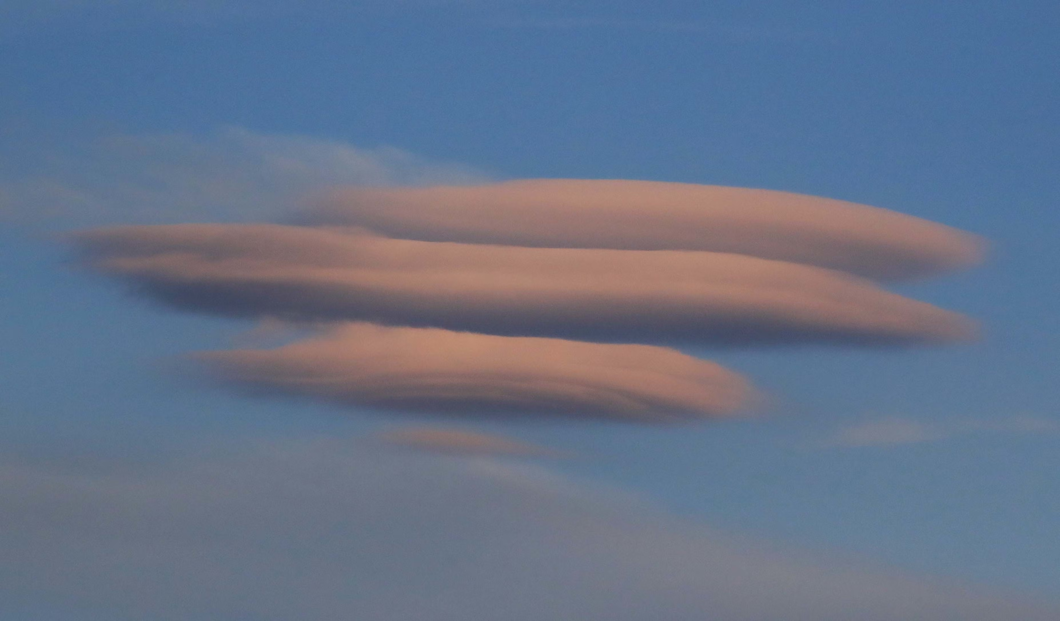
CCSL
cirrocumulus standing lenticular cloud
CG
cloud-ground lightening
CHINO
Cloud-height indicator not available
CLR
clear - no clouds detected below 12,000’ AGL
COR
correction to a previously disseminated observation
DOD
department of defense
DR
low drifting
DSIPTG
dissipating
DU
widespread dust
DVR
dispatch visual range
E
east, ended, estimated ceiling
FC
funnel cloud

FG
fog
FIRST
First observation after a break in coverage at manual station
FMH2
Federal Meteorological Handbook No. 2
FRQ
Frequent
FT
feet
FZ
freezing
G
gust
GS
small hail and/or snow pellets
HZ
haze
ICAO
International Civil Aviation Organization
INTMT
Intermittent
L
left (runway designation)
LST
Local standard time
LWR
Lower
Max
Maximum
MI
Shallow
MOV
Moved/moving/movement
N
north
NCDC
National Climatic Data Center
NOS
National Ocean Survey
NOTAM
Notices to Airmen
NWS
National Weather Service
OFCM
Office of the Federal Coordinator for Meteorology
OVC
Overcast
P
Indicates greater than the highest reportable value (Plus)
PL
Ice pellets
PNO
Precipitation amount not available
PRES
Pressure
PRESFR
Pressure falling rapidly
PWINO
Precipitation identifier sensor not available
R
right (runway designation)
RTD
Routine delayed (late) observation
RVR
Runway visual range
RY
runway
SA
sand
FROPA
Frontal Passage
FU
smoke
FZRANO
Freezing rain sensor not available
GR
hail
HLSTO
Hailstone
IC
Ice crystals, in-cloud lighting
INCRG
increasing
KT
knots
LAST
Last observation before a break in coverage at a manual station
LTG
lightening
M
minus, less than
Min
minimum
MT
mountains
N/A
not applicable
NE
northeast
NOSPECI
No SPECI reports are taken at the station
NW
northwest