geography
1/39
There's no tags or description
Looks like no tags are added yet.
Name | Mastery | Learn | Test | Matching | Spaced |
|---|
No study sessions yet.
40 Terms
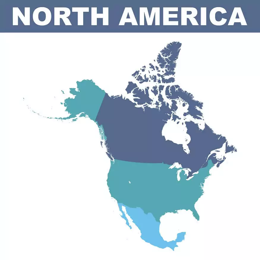
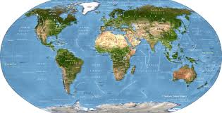
north America
the continent that has the usa

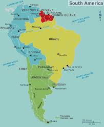
south america
it is a continent that is south of north america


aisa
Asia is the next door neighbor to europe b


europe
europe is the neighbor to aisa


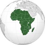
africa
africa is right under europe
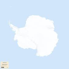
antarctica
antarctica is at the bottom of the map


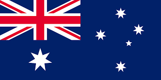
Australia
Australia is the content that is just all alone

south atlantic ocean
it is the ocean near antarctica

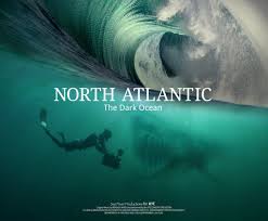
north atlantic ocean
it is the ocean in between south America and Africa
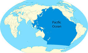
pacific ocean
it is the ocean near the equator


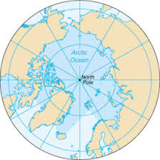
arctic ocean
it is above every thing
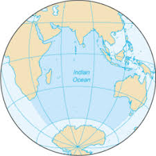
indian ocean
it is under asia and beside Australia

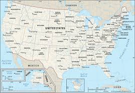
usa
the USA is in north America


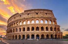
rome
rome is a city in Europe

greece
it is in between Africa and Europe


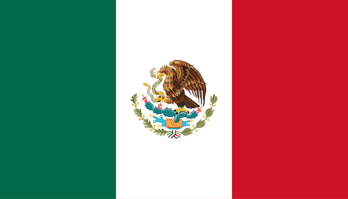
mexico
it is in between north America and south America

title
tells u what it is about


key /legend
tells us what the symbols are

inset map
gives us a bigger picture


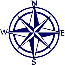
compass rose
shows us directions
scale
varys from map to map


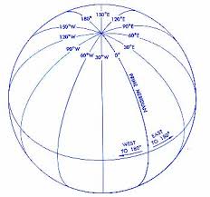
degrees
units of longitude and latitude
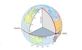

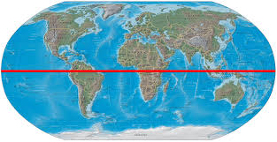
equator
the imaginary line that runs around the earth

meridians
imaginary lines that run in between the north and south pole


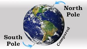
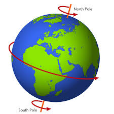
north pole
the point on earth located at 90 degrees


parallels
the imaginary lines on the earth that run parallel to the equator


south pole
the point on earth located at 90 degrees
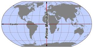
prime meridian
the imaginary line that runs in between the north and south pole on earth at 0 longitude meet


Cartographer
a person who makes maps


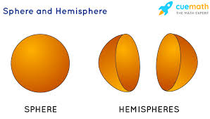
Hemisphere
a half of the earth, usually as divided into northern and southern halves by the equator, or into western and eastern halves by an imaginary line passing through the poles.

Northern Hemisphere
North America, the northern part of South America, Europe, the northern two-thirds of Africa, and most of Asia.
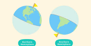

Southern Hemisphere
most of South America, one-third of Africa, Australia, Antarctica, and some Asian islands.


Eastern Hemisphere
Europe, Africa, Asia, the entire continent of Australia, and a large part of Antarctica.

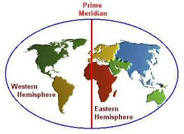
Western Hemisphere
all of North and South America, as well as parts of Africa, Europe, Asia, and Antarctica


Geographic Grid
the internationally-recognized system of latitude and longitude used to location positions on Earth's surface.

Index
a map that shows (as by enclosing a small area in a rectangle on a large map) the location of one or more small areas in relation to a larger area and that typically points up special features in the small areas about which information is desired.

Relative location
a description of how a place is related to other places
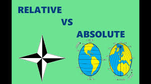

Absolute location
the precise geographic coordinates of a specific point on the Earth's surface, usually expressed in terms of latitude and longitude.

grid
a framework of spaced bars that are parallel to or cross each other; a grating.


Physical Map
a real map