Aircraft Instruments Classification
1/10
There's no tags or description
Looks like no tags are added yet.
Name | Mastery | Learn | Test | Matching | Spaced |
|---|
No study sessions yet.
11 Terms
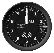
Altimeter
An instrument that measures an aircraft’s altitude, or its height above a specific reference level, usually at sea level.
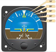
Altitude Indicator
A flight instrument that displays the aircraft’s orientation relative to the earth’s horizon.
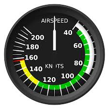
Airspeed
An aircraft’s speed relative to the air its flying through, as opposed to its speed over the ground.
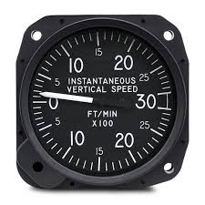
Vertical Speed Indicator
An instrument that displays the rate at which an aircraft is climbing or descending.
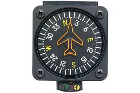
Compass System
CA navigation aid that indicates the heading (direction) of the aircraft relative to the Earth’s magnetic field.
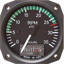
Tachometer
An instrument that measure and displays the rotational speed of the aircraft engine, typically in revolutions per minute (RPM).
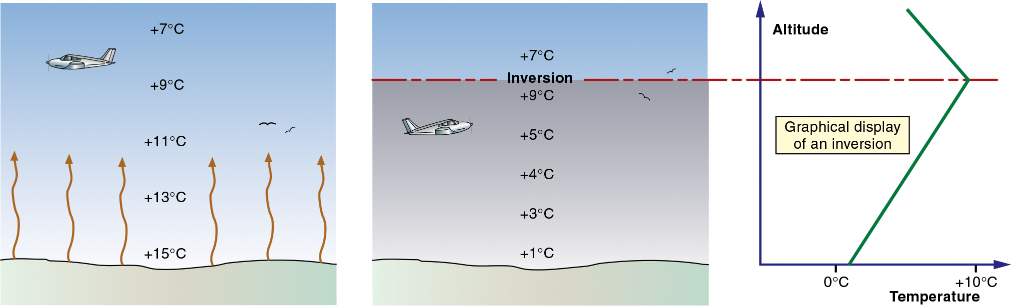
Temperature
Used to determine density, which influences lift and drag, and also impacts the formation of icing.
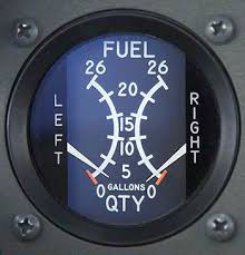
Fuel Quantity
The amount of fuel available for use during flight, typically measured in gallons or pounds.
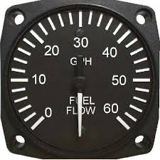
Fuel Flow
The rate at which fuel is delivered to an engine.
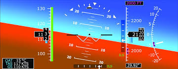
Glideslope
The vertical guidance provided by an Instrument Landing System (ILS) to assist pilots in descending towards a runway during an approach.
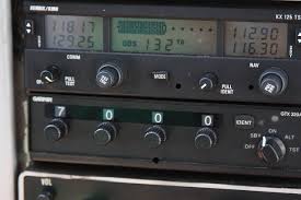
Distance Measuring Equipment (DME)
A radio navigation system that measures the slant range distance (distance at an angle) between an aircraft and ground station.