Map Types and Elements
1/20
There's no tags or description
Looks like no tags are added yet.
Name | Mastery | Learn | Test | Matching | Spaced |
|---|
No study sessions yet.
21 Terms
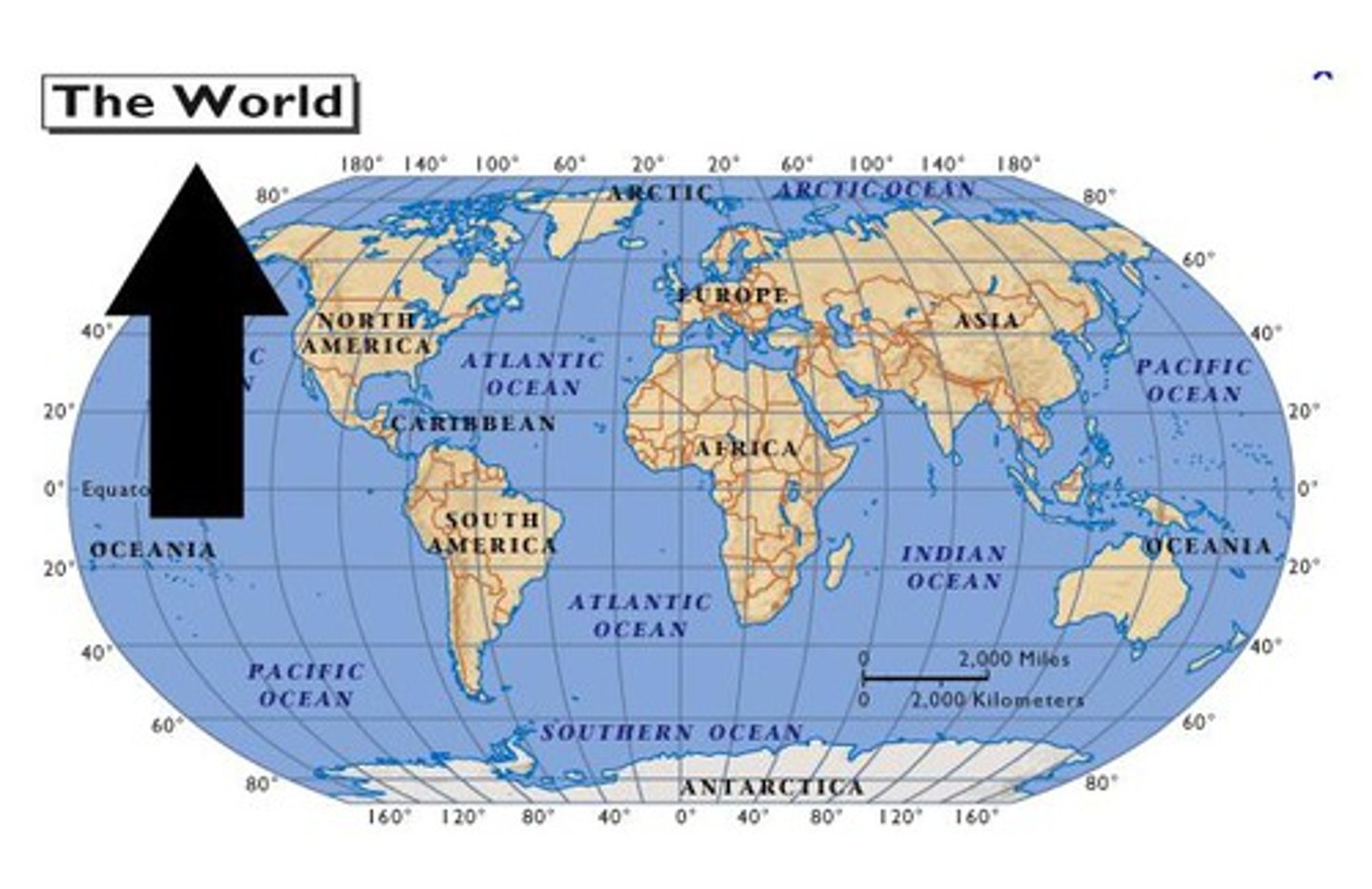
title
tells the main topic of the map
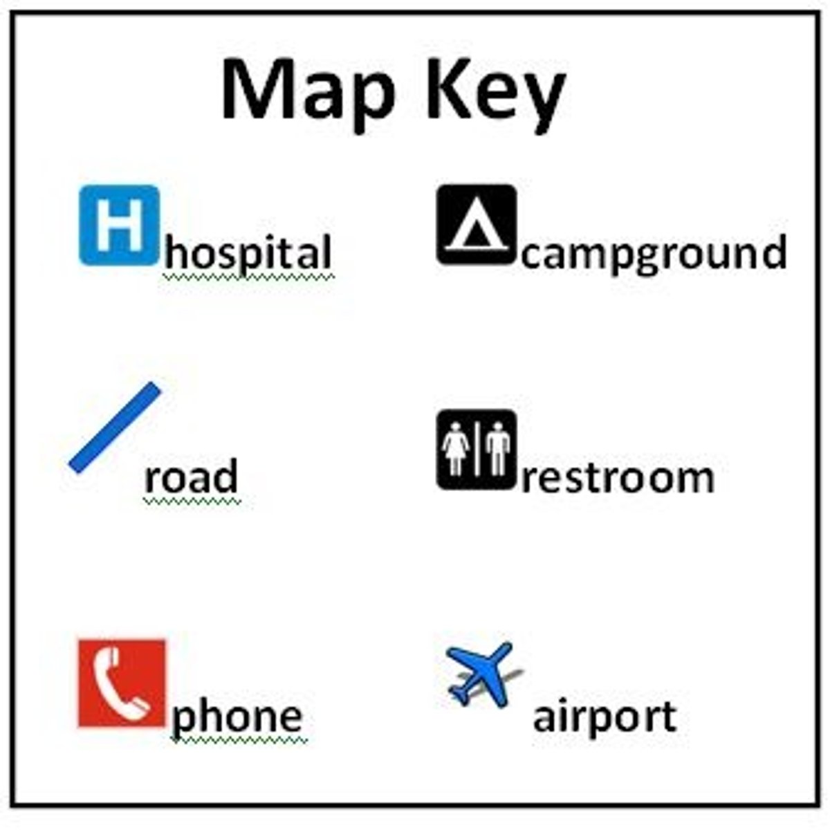
Key/Legend
explains the symbols on a map
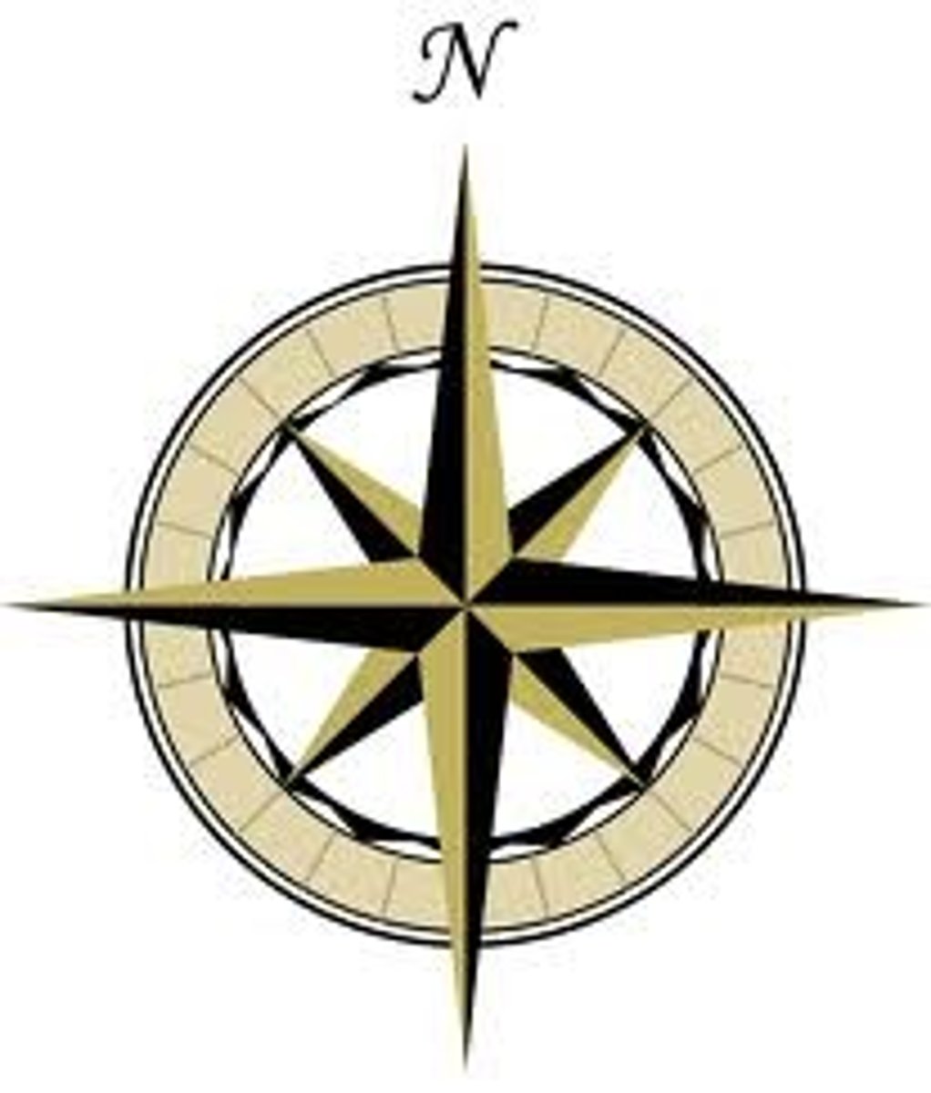
compass rose
shows north on a map
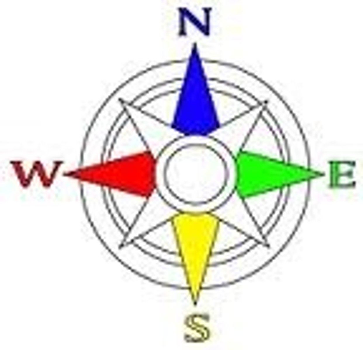
cardinal directions
north, south, east, west
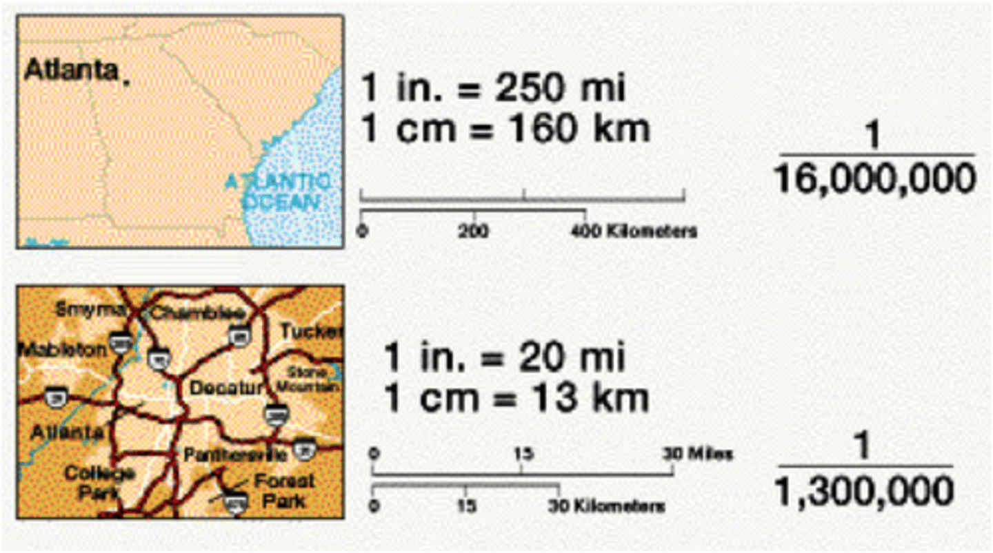
scale
how the distance on a map relates to distance on the Earth
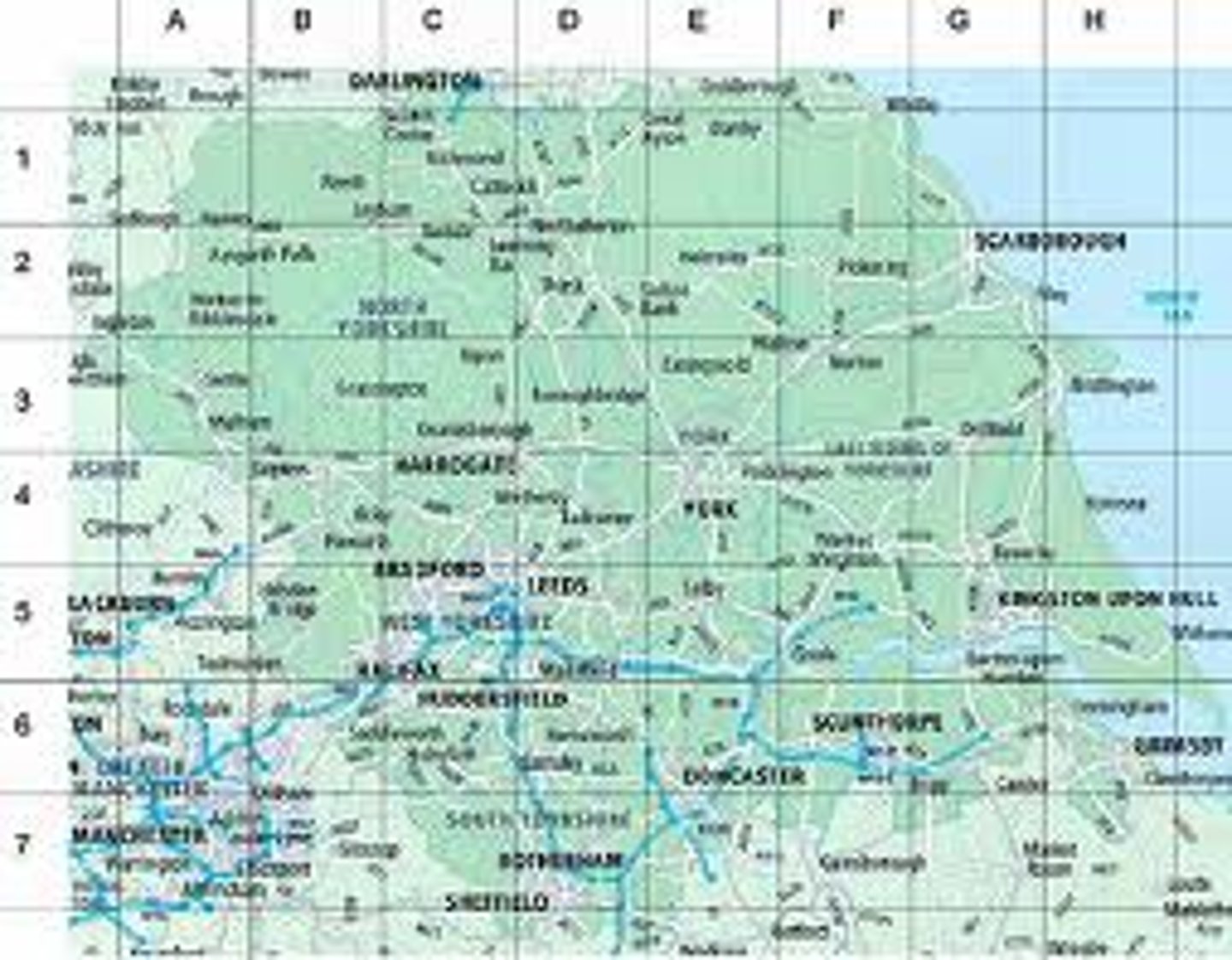
grid
lines on a map that can be used to locate any place on the map
Longitude
Distance east or west of the prime meridian, measured in degrees
Latitude
distance north or south of the Equator, measured in degrees
orientation
shows where North is in relationship to the map
physical map
a map that shows land and water features
political map
A map that shows man-made features such as boundaries, countries, and cities.
thematic map
a map that emphasizes a single idea or a particular kind of information about an area, such as population, airline routes, spread of disease, or climate
Equator
an imaginary line drawn around the earth equally distant from both poles, dividing the earth into northern and southern hemispheres and located at 0° latitude.
Prime Meridian
The meridian, designated at 0° longitude, which passes through the Royal Observatory at Greenwich, England and divides the earth into Eastern and Western hemispheres
hemisphere
a half of the earth, usually as divided into northern and southern halves by the equator, or into western and eastern halves by an imaginary line passing through the poles.
Global Positioning System (GPS)
A system that determines the precise position of something on Earth through a series of satellites, tracking stations, and receivers.
Mercator Projection
A cylindrical map projection that is useful for navigation because it maintains accurate direction but has distortion in area that makes certain landmasses appear oversized.
Gall-Peters Projection
Map created to show the relative sizes of the earth's continents accurately (equal area), but distorts shape (stretched out)
Winkel Tripel Projection
best map projection for providing a balance between size and shape
map projection
a way of representing the spherical Earth on a flat surface
cartographer
a person who makes maps