quizlet.com/559921395/ap-human-geography-unit-1-flash-cards/
 Call Kai
 Learn
Learn Practice Test
 Spaced Repetition
 Match
Match Flashcards
 Knowt Play
1/61

There's no tags or description
Looks like no tags are added yet.
Name | Mastery | Learn | Test | Matching | Spaced | Call with Kai | Chat |
|---|
No analytics yet
Send a link to your students to track their progress
62 Terms
spatial approach
considers the arrangement of the phenomena being studied across the surface of the earth
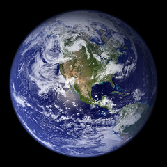
physical geography
the branch of geography dealing with natural features and processes

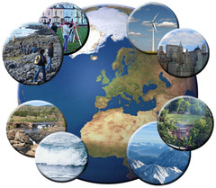
human geography
The study of where and why human activities are located where they are
absolute location
Exact location of a place on the earth described by coordinates

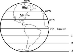
latitude
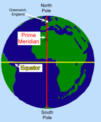
distance north or south of the Equator, measured in degrees (horizontal lines, also called parallels)
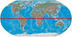
equator
the imaginary center line of latitude that divides the northern and southern hemispheres.
longitude
Distance east or west of the prime meridian, measured in degrees (vertical lines, also called meridians)

prime meridian
0 degrees longitude - passes through Greenwich, England
International Date Line
the line of longitude that marks where each new day begins, centered on the 180th meridian

relative location
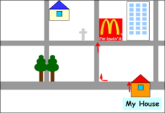
the regional position or situation of a place relative to the position of other places
connectivity
the degree of linkage between locations from one another
accessibility
the relative ease with which a destination may be reached from some other place

place
A specific point on Earth distinguished by a particular character.

region
An area distinguished by a unique combination of trends or features.
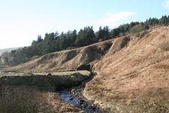
site
The physical character of a place
situation
the location of a place relative to other places

sense of place
The feeling that an area has a distinct and meaningful character

toponyms
name given to a portion of Earth's surface

proximity
nearness in space, time, or relationship

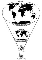
time-space compression
term for the reduction in time it takes for something to diffuse to a distant place
spatial interaction
movement of people, goods, info, etc between different places

friction of distance
A measure of how much absolute distance affects the interaction between two places.

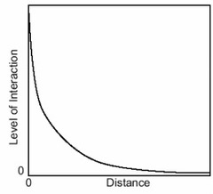
distance-decay
contact diminishing with increasing distance and eventually disappear.
spatial association
The relationship between the distribution of one feature and the distribution of another feature.
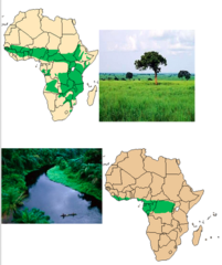
density
The frequency with which something exists within a given unit of area
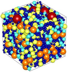
distribution
The arrangement of something across Earth's surface.
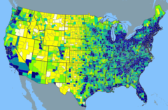
human-environment interaction
The geographic theme that explores how people use, adapt to, and modify the environment

cultural ecology
the geographic study of human-environment relationships
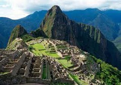
environmental determinism
the idea that human behavior is controlled by the physical environment

environmental possibilism (or possibilism)
culture may be affected by geographical or environmental conditions but is ultimately determined by social conditions and human agency
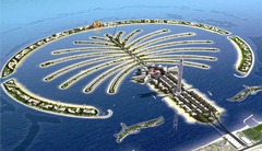
field observation
a study of a phenomenon in a natural setting

aerial photography
Taking images of the earth from elevated positions as a means of gathering geographic data

built environment
man-made or constructed parts of a landscape or area

cultural landscape
the visible imprint of human activity and culture on the landscape

patterns
recurring characteristics or events

reference maps
show locations of places and geographic features

political map
A map showing units such as countries, states, provinces, districts, etc.

physical map
A map that shows mountains, hills, plains, rivers, lakes, oceans, etc.
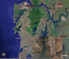
thematic map
A map that shows a particular theme
a map that shows specialized information

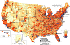
choropleth map
A map that uses differences in shading or coloring to indicate statistical ranges.
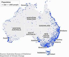
dot distribution map
each dot represents an identical unit and conveys data by amount present
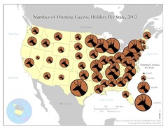
graduated symbol map
Contain symbols varying in size to show relative quantitative values
isoline map
map line that connects points of equal or very similar values

topographic map
A map that shows the surface features of an area.
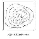
cartogram
a type of map used to present statistical info - stretch
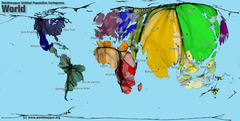
map projection
a way of representing the spherical Earth on a flat surface (leads to distortion)
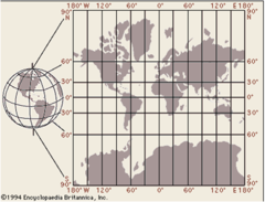
Mercator map projection
accurately shows shape and direction, but distorts distance and size of land masses; used for navigation across and ocean

Gall-Peters Projection
equal area projection that distorts the shape of land masses (looks stretched out)
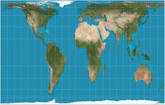
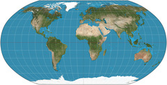
Robinson projection
The lines of latitude and longitude almost intersect at right angles except near edges.
Useful projection for display of oceans but land masses are distorted.
regionalization
The process of dividing an area into smaller segments called regions.
formal region (AKA uniform or homogenous)
a group of places that have similar attributes, for example, a political region

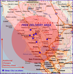
functional (or nodal) region
Consists of a central place and the surrounding places affected by it
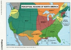
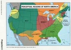
perceptual (or vernacular) region
a region defined by popular feelings and images rather than by objective data.
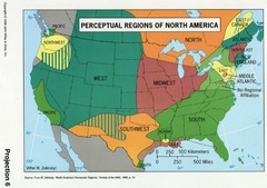
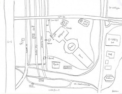
mental map
A map which represents the perceptions and knowledge a person has of an area
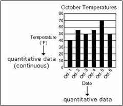
quantitative data
numerical data
qualitative data
Information describing color, odor, shape, or some other physical characteristic

Hierarchical Diffusion
the spread of a feature or trend from one key person or node of authority or power to other persons or places

Stimulus Diffusion
The spread of an underlying principle, even though a specific characteristic is rejected.

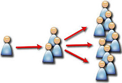
Contagious Diffusion
The rapid, widespread diffusion of a feature or trend throughout a population.
Geographic Information System (GIS)
A computer system that stores, organizes, analyzes, and displays geographic data.

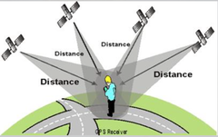
Geographic Positioning System (GPS)
A system that determines the precise position of something on Earth through a series of satellites, tracking stations, and receivers.
Remote Sensing
The acquisition of data about Earth's surface from a satellite orbiting the planet or other long-distance methods.
