APHUG - Unit 1 vocab + concepts
 Call Kai
 Learn
Learn Practice Test
 Spaced Repetition
 Match
Match Flashcards
 Knowt Play
1/36

Earn XP
Description and Tags
Practice
Name | Mastery | Learn | Test | Matching | Spaced | Call with Kai | Chat |
|---|
No analytics yet
Send a link to your students to track their progress
37 Terms

Reference Map
A map that displays things such as roads and political boundaries for navigation, and a map that shows the absolute locations of physical and man-made geographic features.
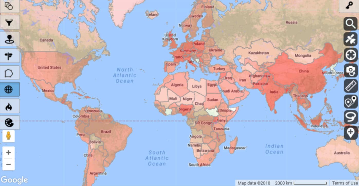
Thematic Map
A map that focuses on a specific theme or subject area, visualizing data such as population density, climate, or land use patterns.

Choropleth Map
A map that uses different shades of color to represent a certain variable of data in an area.
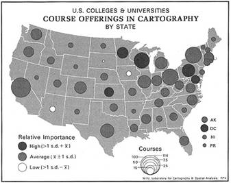
Graduated (Proportional) Symbol Maps
A map that uses symbols of different sizes to indicate different amounts of what is being mapped. (eg. the size of a circle indicates the amount of trees in each state.)
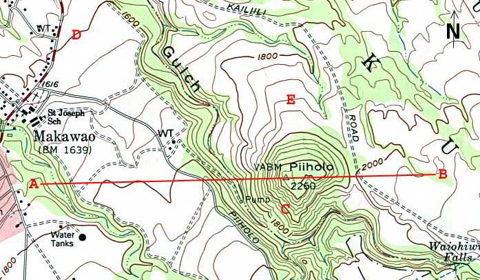
Isoline Maps
An isoline map is a thematic map that uses continuous lines to connect points sharing the exact same numerical value
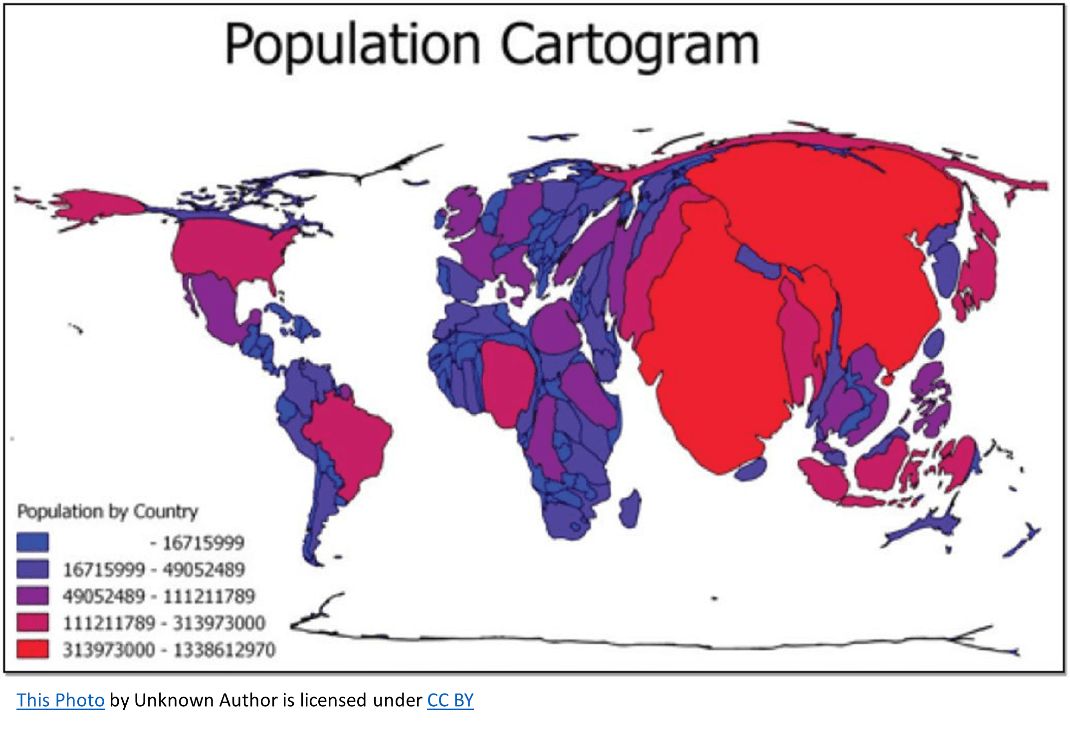
Cartograms
Cartograms are thematic maps that alter the geographic size or shape of regions to make their area proportional to a numerical variable rather than their physical land area.
Spatial Patterns Represented on Maps
Maps can show: Clustering, Dispersal, random, or uniform patterns.
Elevation Represented on Maps
Elevation can be represented by both Choropleth maps and Isoline maps
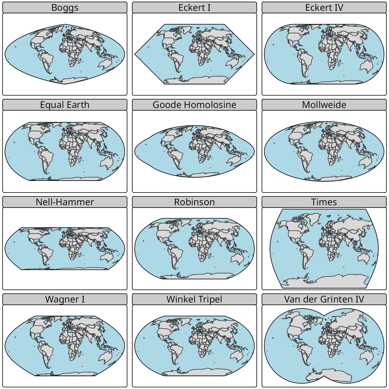
Map Projections
The process of showing the Earth, a 3D surface, on a 2D surface such as a map, causing distortions in distnace, shape, direction, or the area of continents and other landforms.
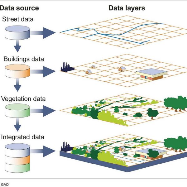
Geographic Information Systens (GIS)
A computer system that analyzes and displays geographic data using layers.
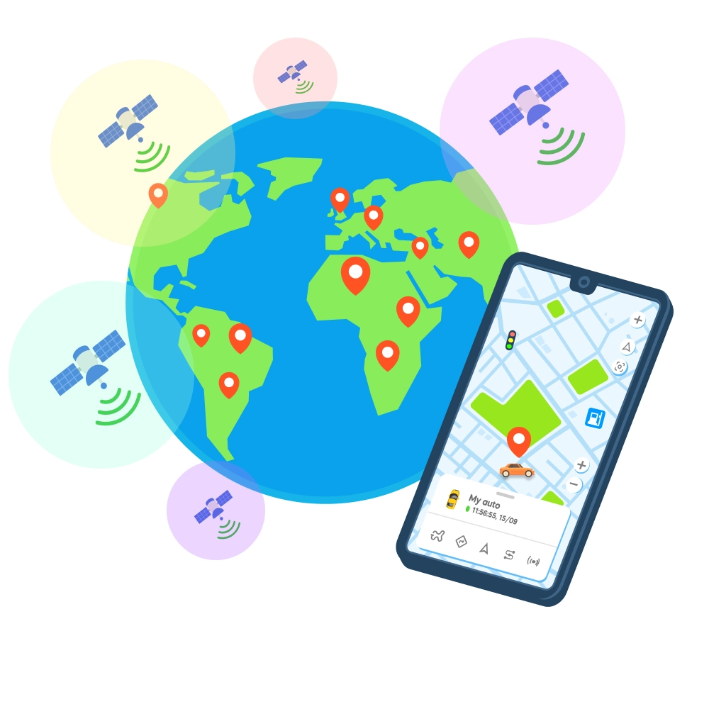
Global Positioning System
A satellite-based system that provides the absolute location of a place.
Remote Sensing
Collecting data about Earth's surface from satellites or aircraft.
Field Observation
a method where a researcher physically visits a location to directly record information about human activities, land use, and landscape features.
Absolute Location
The exact fixed place of an object on the Earth (latitude and Longitude)
Relative Location
describes where a place is compared to other landmarks, using direction, distance, time (eg. “the store is next to the river”)
Accessibility
The ease with which one can reach a certain location from other locations.
Aerial Photography
The practice of capturing images of the ground, landscape, or structures from an airborne platform, like a drone or airplane.
Built Environment
All physical, human made features and infrastructure that form the tangible setting for human activity.
Cartography
The art and science of making maps.
Cartographic Scale
The mathematical ratio between the distance on a map and the actual distance on the ground
Concentration
The extent o a features spread over a geographic space. (Eg. features that are clustered of dispersed.)
Connectivity
The degree of economic, social, cultural, or political connection between 2 or more places.
Cultural Ecology
Cultural ecology is the study of how human cultures adapt to their physical and social environments.
Cultural Landscape
The visible imprint pf human activity and culture on the physical environment.
Density
The number of a specific variable, (like adults with a college degree), per unit of a land area.
Diffusion
The geographic process by which cultural traits, ideas, innovations, diseases, and practices are spread from a central point across space and time.
Distance
The physical or perceived distance between two points or places on Earth’s surface.
Distance-Decay
A geographical concept stating that the interaction, use, or similarity between two locations decreases as the physical distance between them increases.
Distoration
The inevitable change in shape, area, distance, or direction that happens when you flatten the three-dimensional Earth onto a two-dimensional map
Distribution
The pattern of how individuals or groups are arranged in a specific space (clustered, dispersed, or uniform).
Elevation
The height of a place above or below sea level.
Environmental Determinism
The belief that the physical environment, such as climate, terrain, and natural resources, directly shape human culture, behavior, and social development.
Equator
The imaginary line of latitude at 0° that circles the entire middle of earth dividing it into the northern and southern hemisphere.
Field Observation
A primary