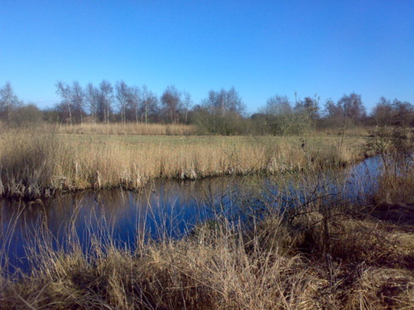
5th grade Landforms
1/31
There's no tags or description
Looks like no tags are added yet.
Name | Mastery | Learn | Test | Matching | Spaced |
|---|
No study sessions yet.
32 Terms
landform
a physical feature of the earth's surface
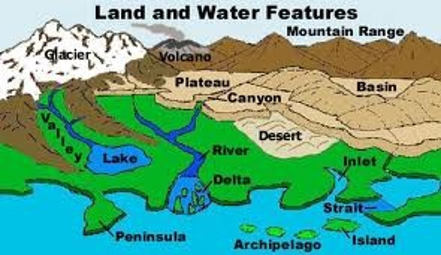
mountain
landform in which the earth's surface rises usually higher than 1,000 ft
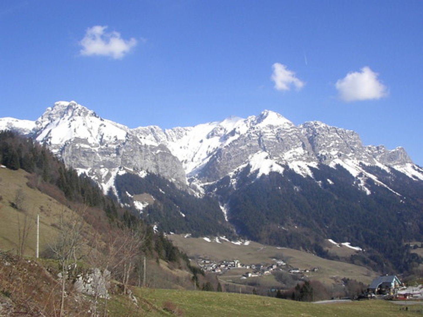
valley
long, low area of land between hills or ranges of mountains
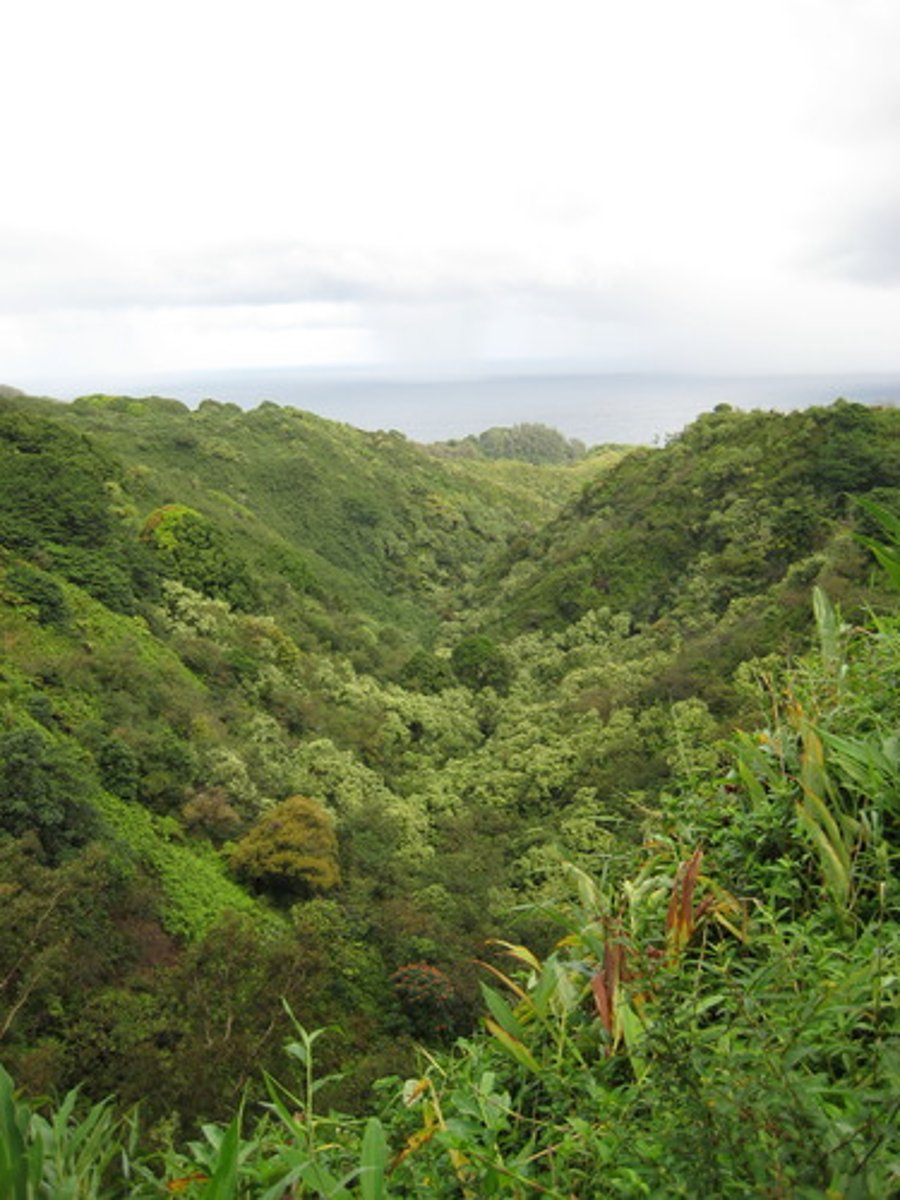
canyon
steep-walled valley created by a river or stream
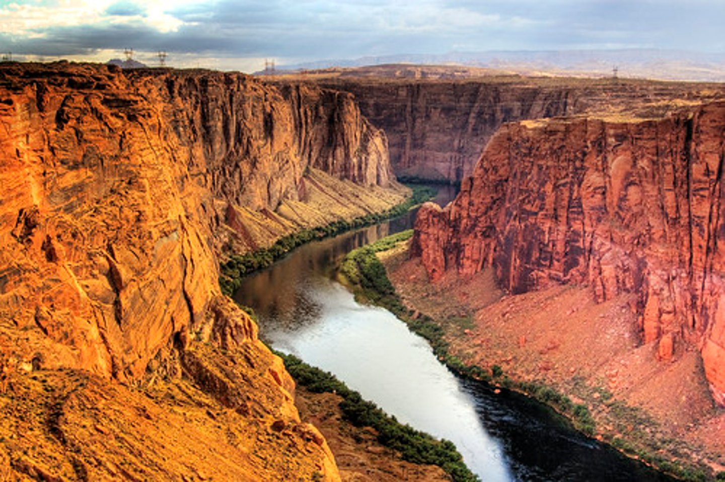
glacier
large body of year-round ice & snow that moves slowly across the land and deposits sediment where it melts
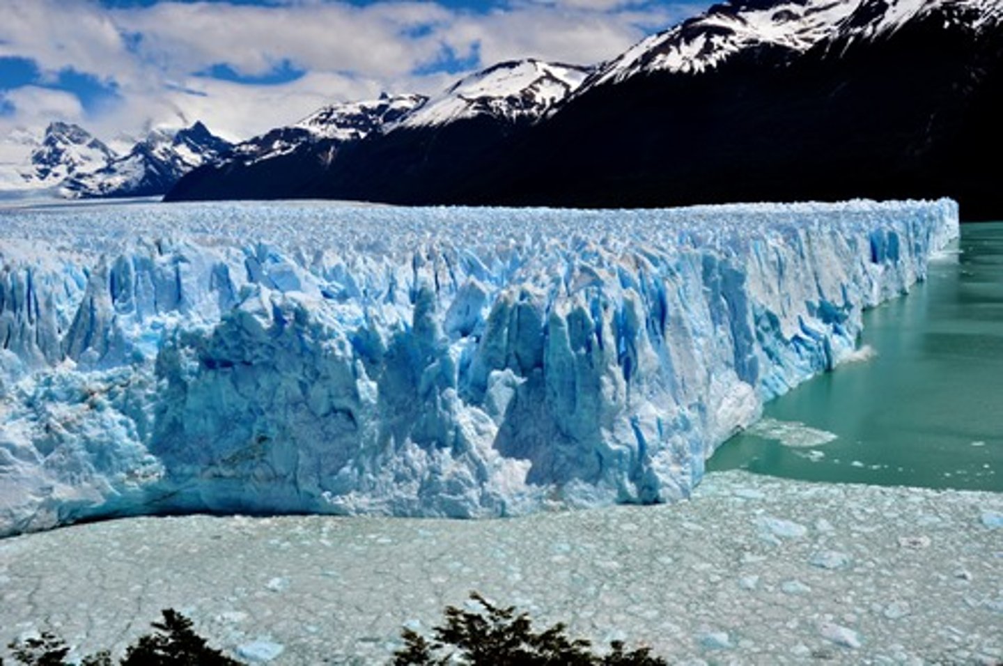
erosion
process of moving weathered soil and rock by water, wind, and ice
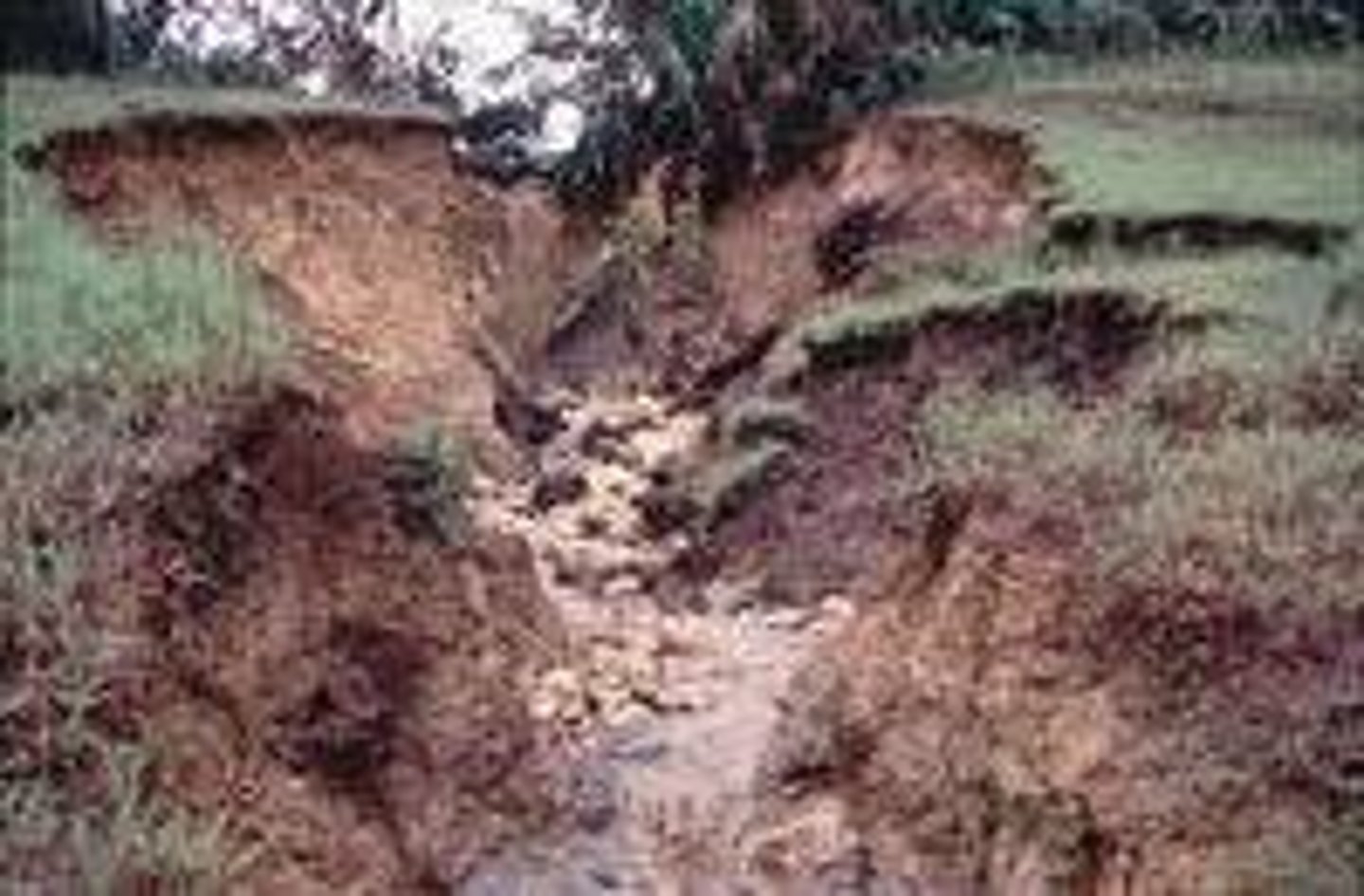
deposition
process of dropping sediment in another location
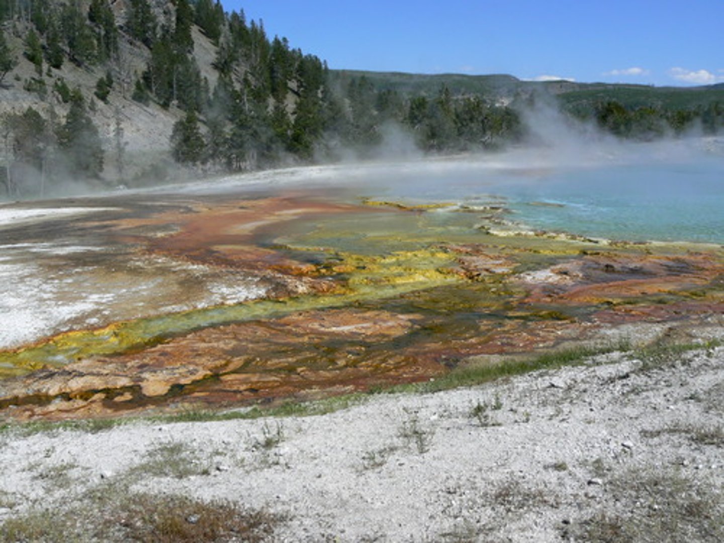
weathering
process of wind, water, and other factors breaking down rocks into soil and tiny pieces
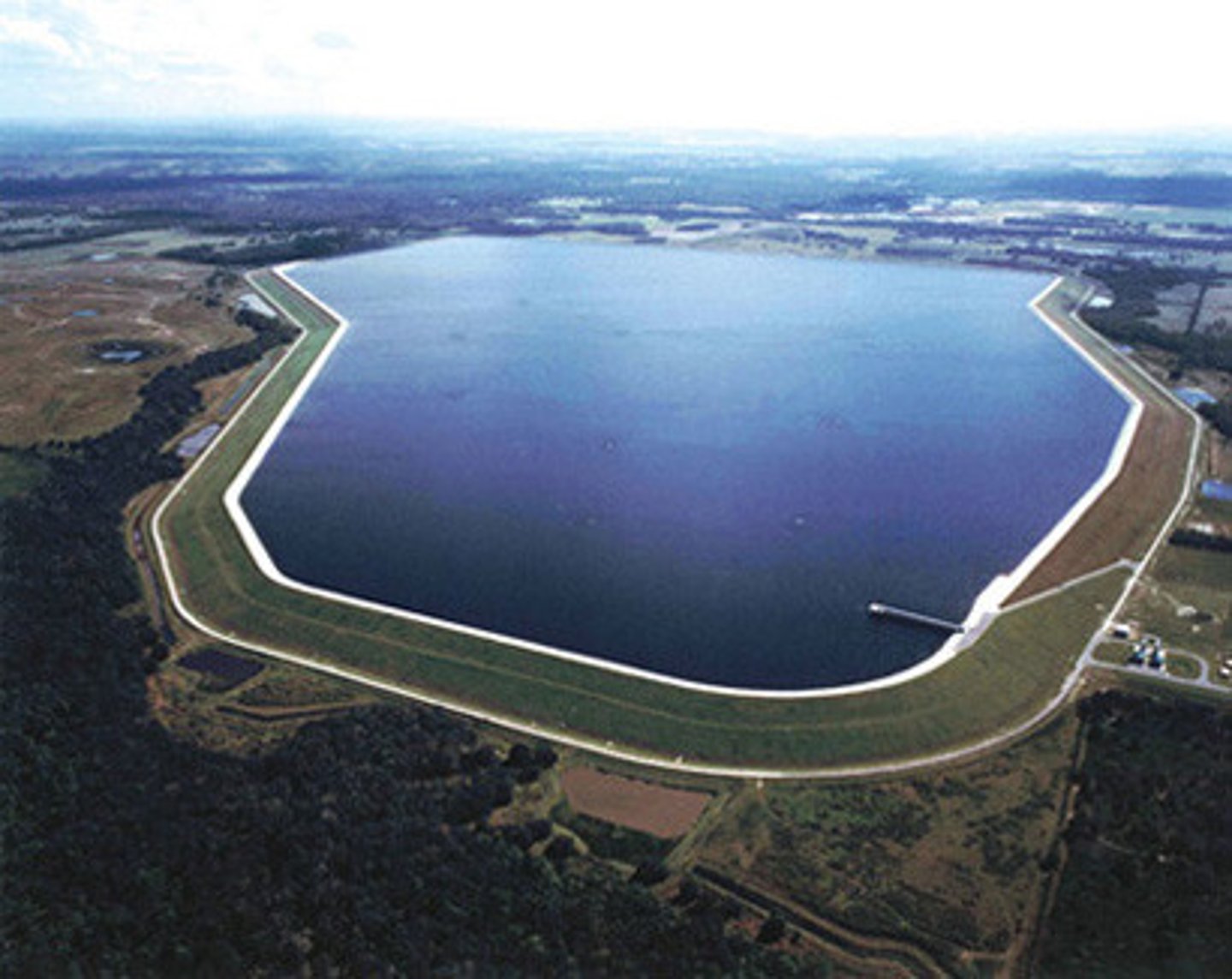
reservoir
usually a man-made storage area for fresh water
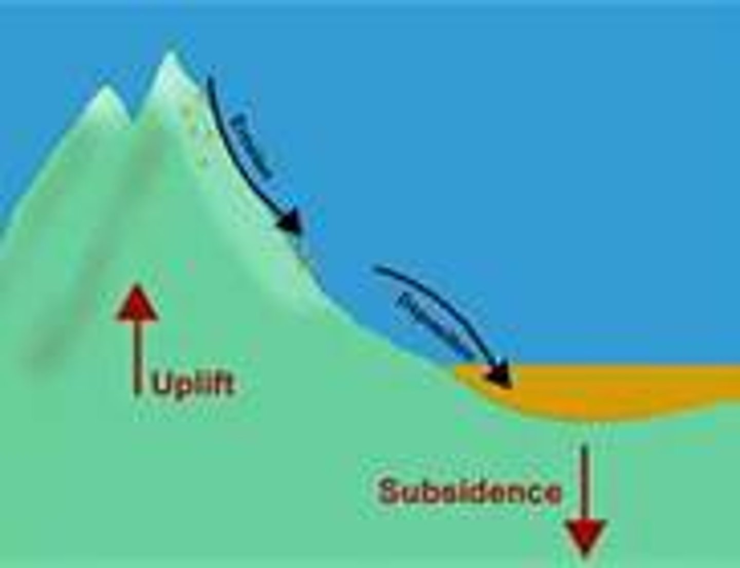
uplifting
the process in which the earth's crust raises to form mountains. It begins when heat from the center of the earth rises and pushes the ground up to create hills and mountains.
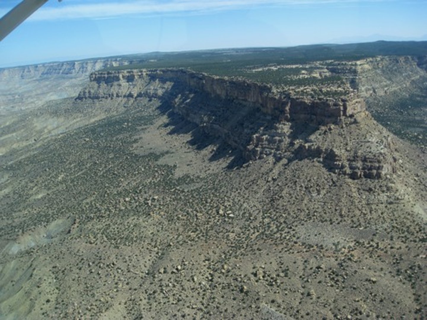
plateau
a large area of flat land that is higher than the surrounding land
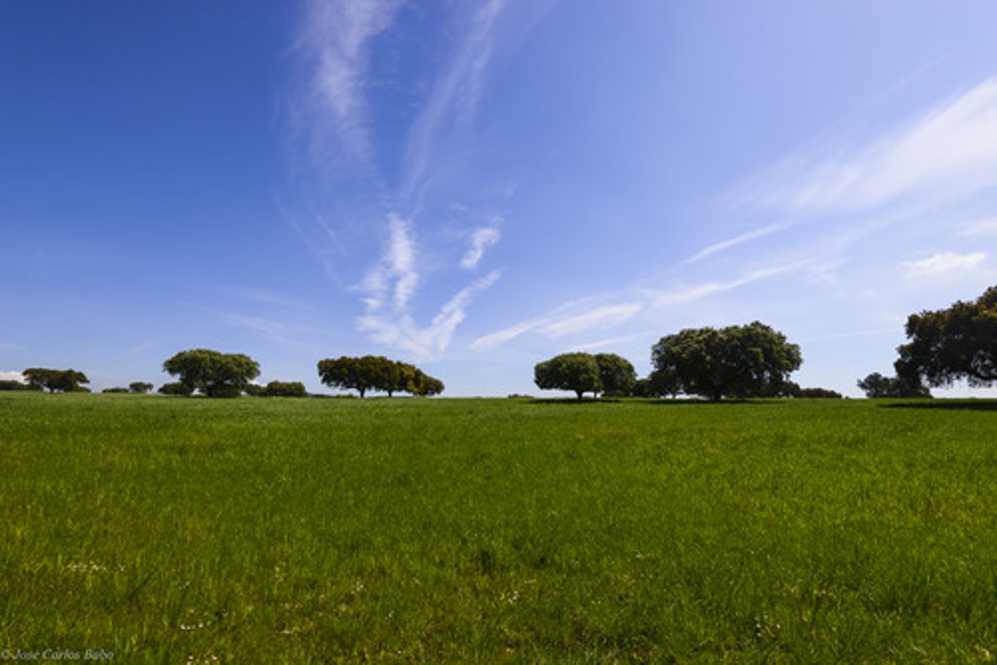
plain
large, flat area of land with few trees
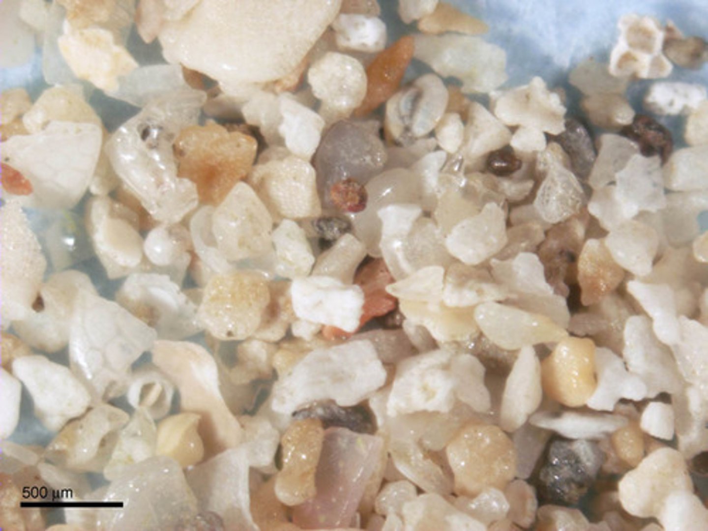
sedimentation
the process of particles clumping together and settling to the bottom of a body of water
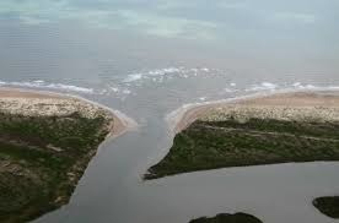
river
a large natural stream that flows into a larger body of water

source
the beginning of a stream or river

mouth
the part of a river that empties into another body of water
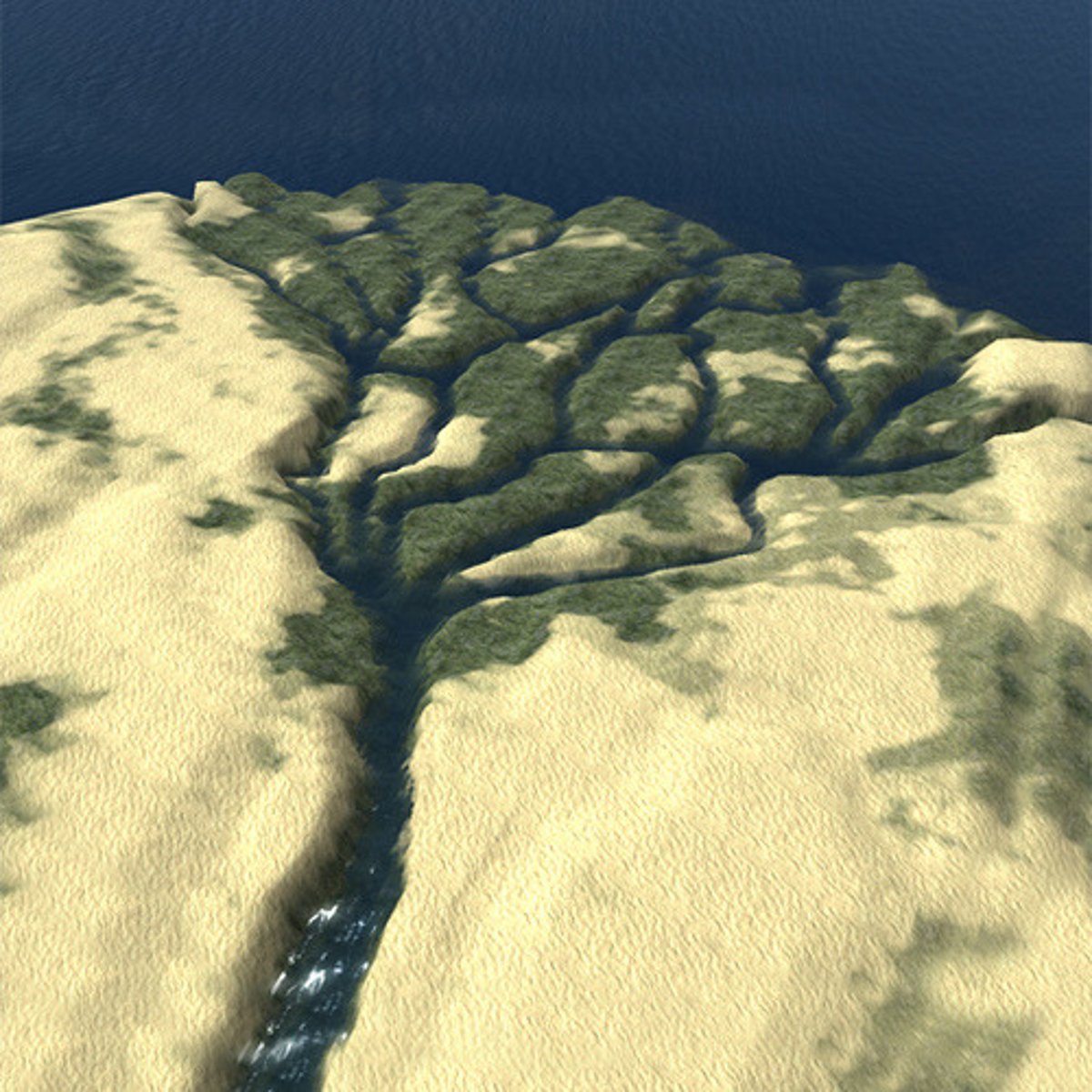
delta
a deposit of sediment where a stream enters a larger body of water
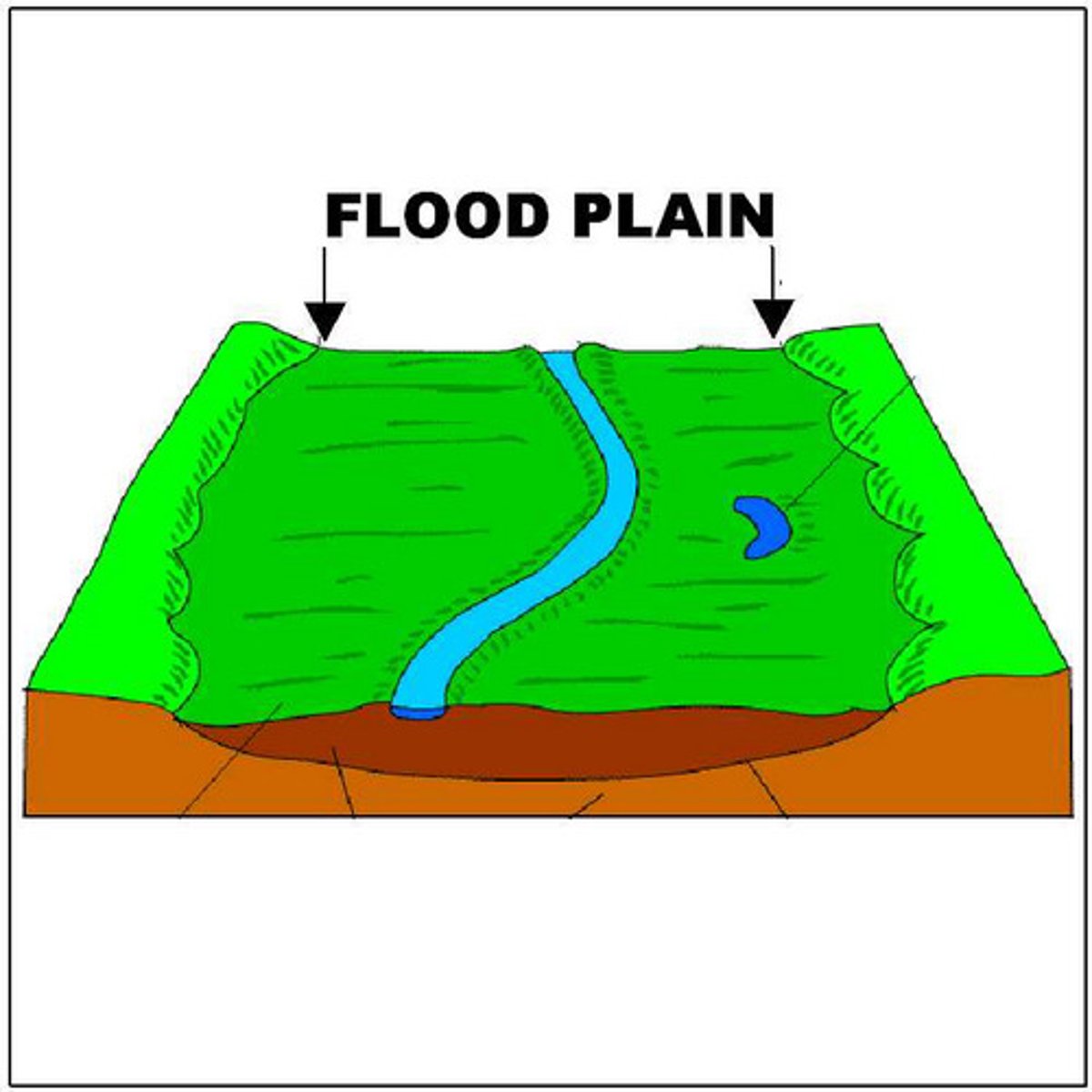
flood plain
the low-lying land near a stream or river that is covered by water during heavy rainfall or spring melting
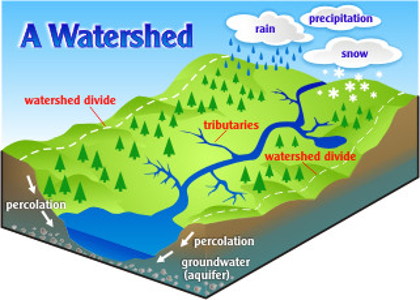
watershed
a area of land that is drained by a common systems of streams
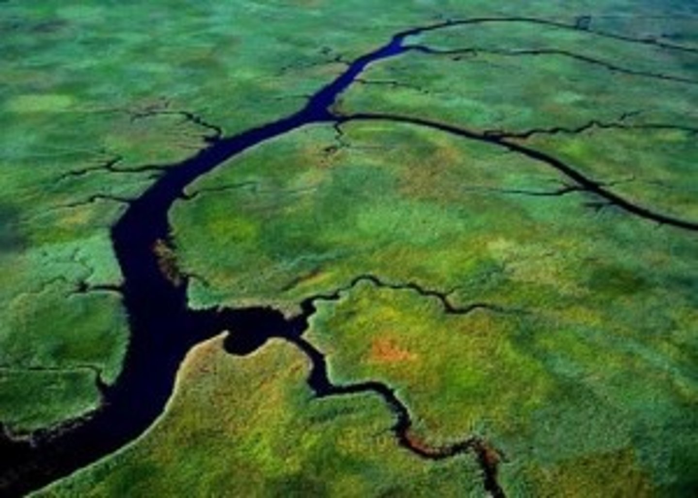
tributary
a stream or river that feeds into a larger body of water
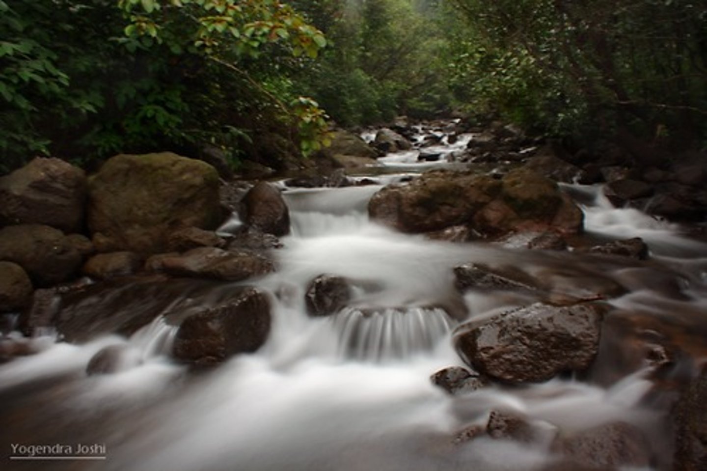
flow
to move or pass along evenly in a stream
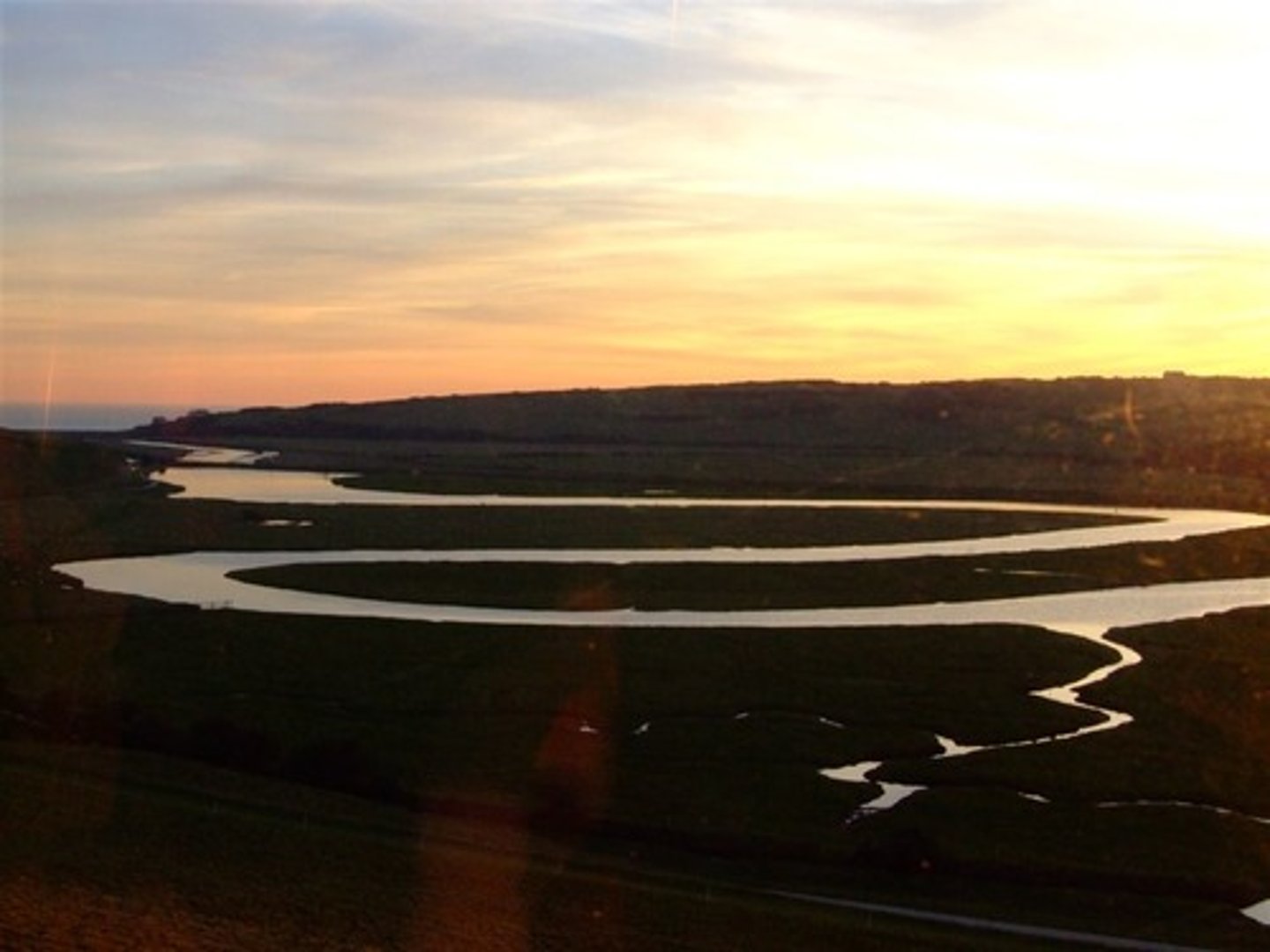
meander
a bend or curve in a stream or river
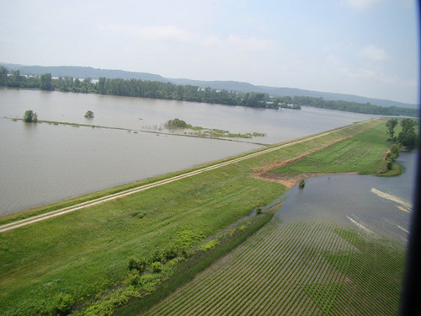
levee
an embankment usually on the side of a river used to prevent overflowing
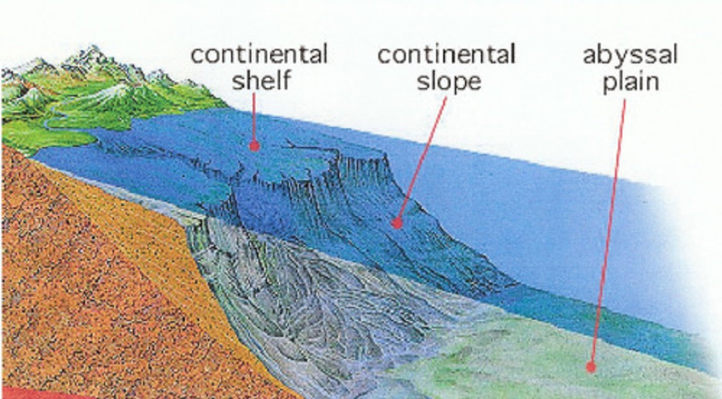
slope
land that is on an incline - slanting up or down
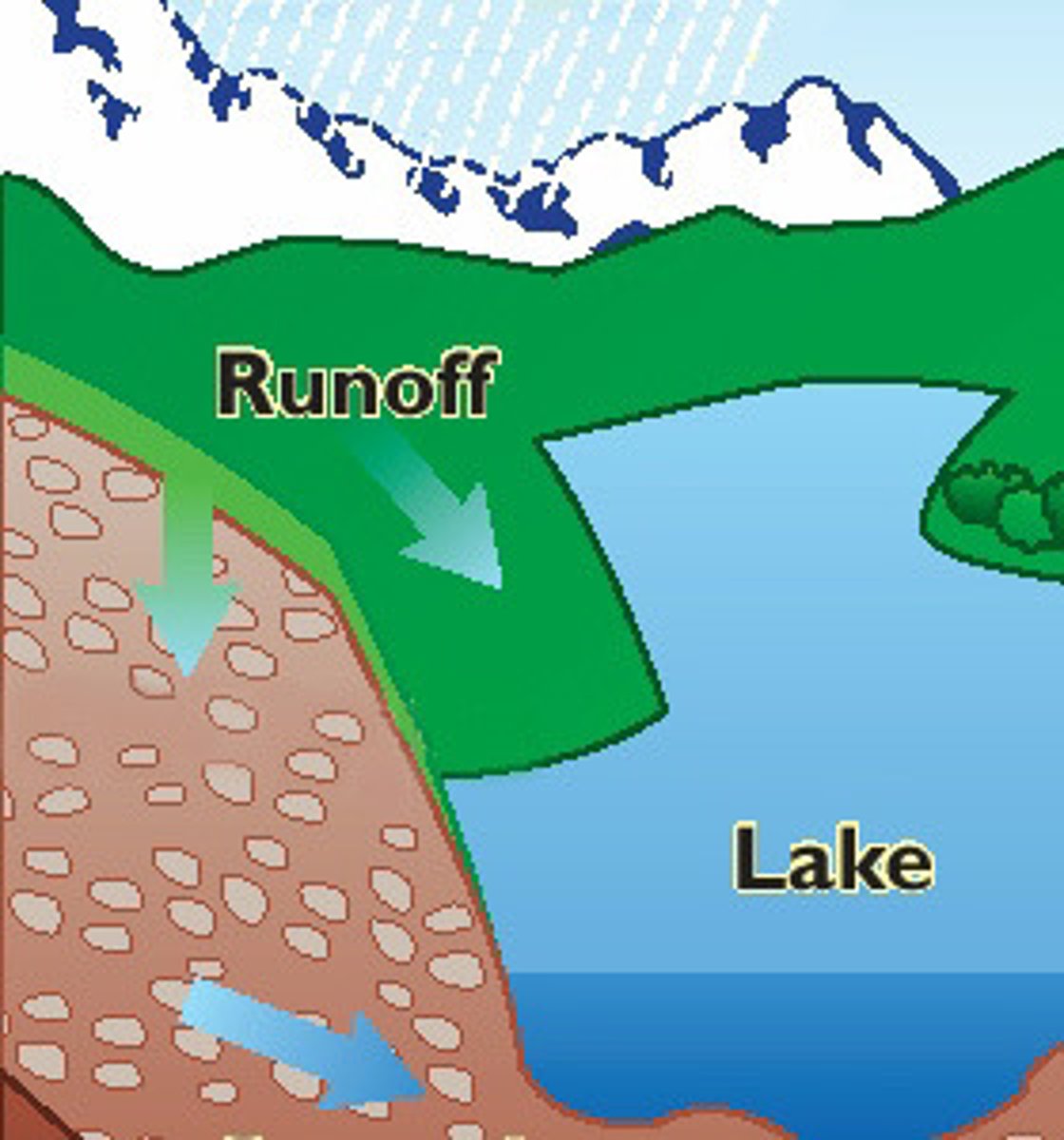
runoff
water that drains or flows after rain or melting snow into a river
topography
the features on the surface of a particular area of land
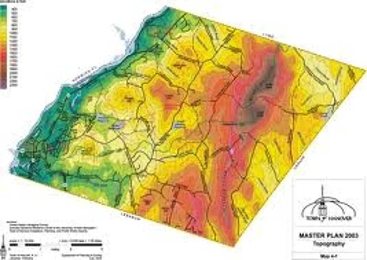
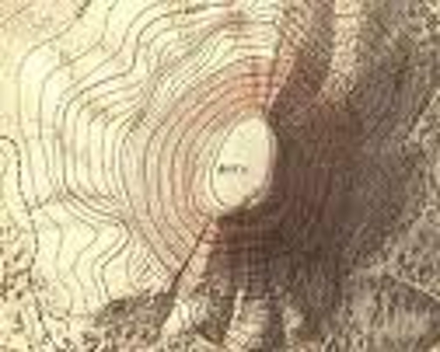
topographic map
a map that uses contour lines to show the slope and elevation of the land
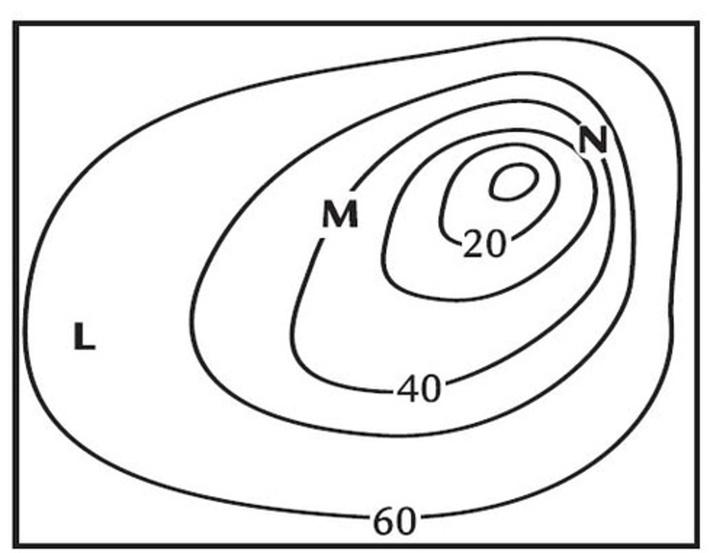
contour lines
lines that connect equal points of elevation
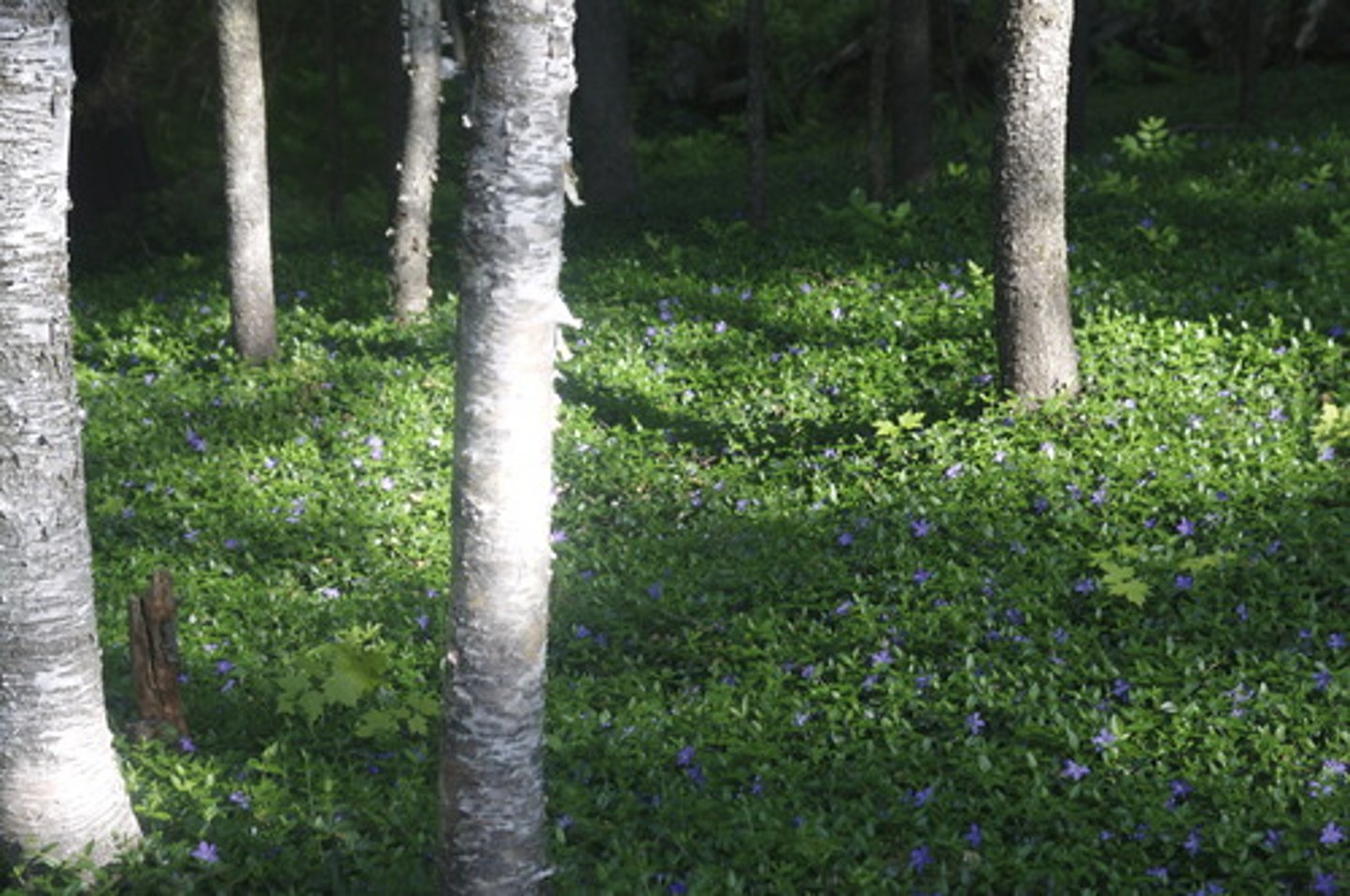
ground cover
dense low plants often used to hold soil in place to prevent erosion
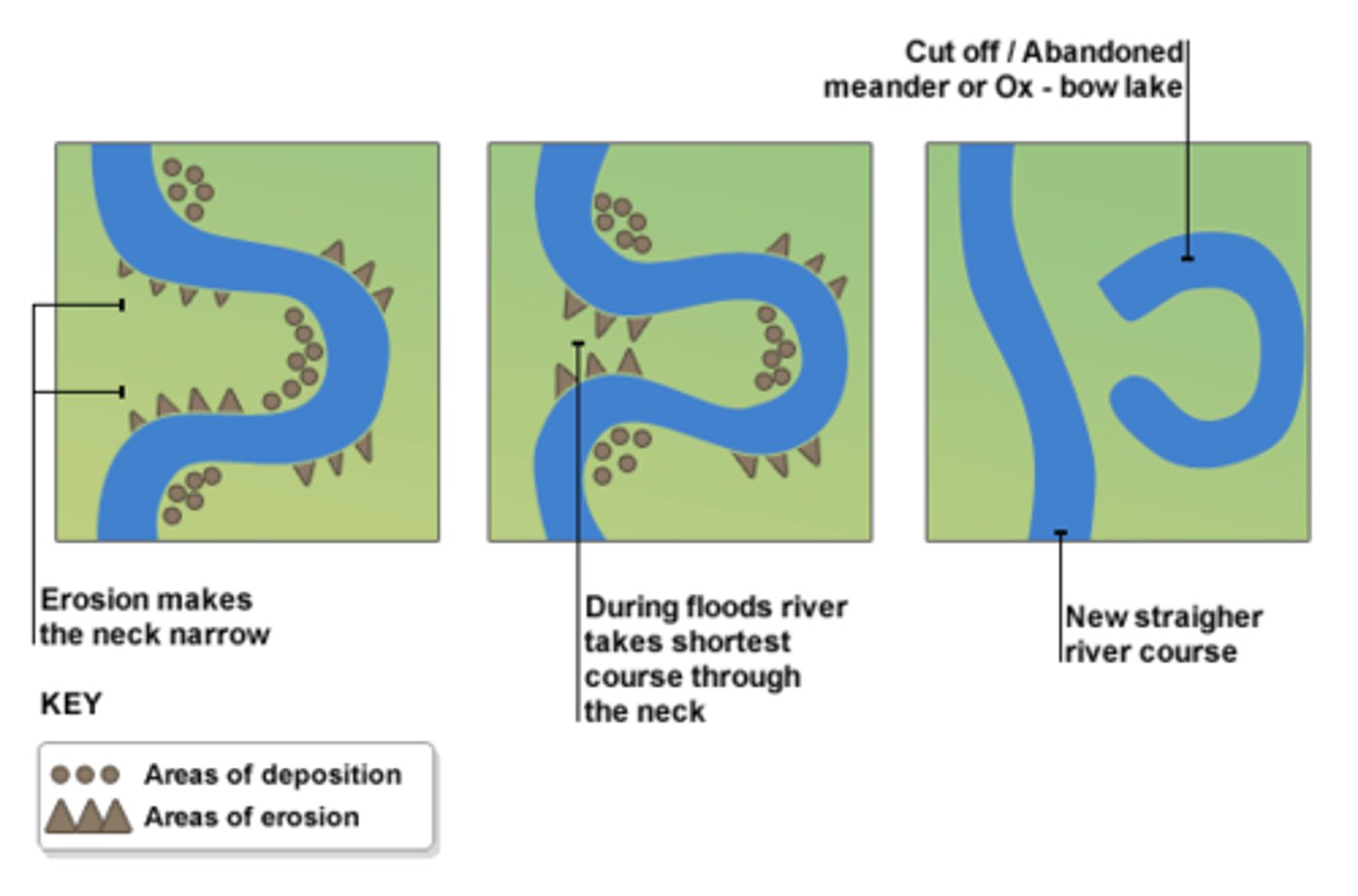
ox-bow lake
a bow shaped lake formed by erosion from a meandering river or stream
reclamation
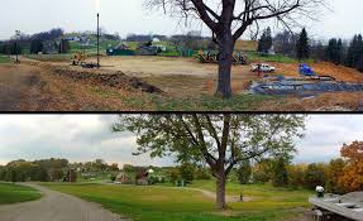
process of restoring a damaged ecosystem
wetlands
water ecosystems like saltwater marshes, mangrove swamps, and mud flats
