AP Human Geography study guide
1/67
There's no tags or description
Looks like no tags are added yet.
Name | Mastery | Learn | Test | Matching | Spaced |
|---|
No study sessions yet.
68 Terms
Geography
The study of the Earth's surface, human activity, and the spatial relationships between places.
Human Geography
The study of where and why human activities occur and how they relate to the physical environment.
Physical Geography
The study of the natural features and processes of Earth's surface.
Spatial Perspective
A geographic viewpoint that looks at where things occur and why they are located there.
Place
A specific location on Earth distinguished by particular physical and cultural characteristics.
Location (Absolute)
The exact position of a place using latitude: a coordinate system measuring distance north or south of the equator, and longitude: a coordinate system measuring distance east and west from the prime meridian.
Location (Relative)
A place's position in relation to other places.
Site
The physical characteristics of a location, such as climate, topography, and water sources.
Situation
A location's relative position compared to other places. More general
Region
An area defined by one or more distinctive characteristics.
Formal (Uniform) Region
An area where everyone shares one or more distinctive traits.
Functional (Nodal) Region
An area organized around a central node or focal point.
Perceptual (Vernacular) Region
A region defined by people's cultural perceptions and feelings.
Scale
The relationship between the portion of Earth being studied and Earth as a whole.
Globalization
The process by which the world is becoming increasingly interconnected.
Distribution
The arrangement of features or phenomena across space.
Density
The frequency of something within a given area.
Arithmetic Density
Total population divided by total land area.
Physiological Density
Population divided by arable land area.
Agricultural Density
Farmers per unit of arable land.
Concentration
The spread of something over a given area (clustered - objects in an area that are in close proximity vs. dispersed- objects in an area that are not in close proximity).
Pattern
The geometric arrangement of features in space.
Distance Decay
The declining influence of a phenomenon as distance increases.
Time-Space Compression
The reduction in time it takes for something to reach another place due to technology.
Diffusion
The process by which a characteristic spreads across space over time.
Relocation Diffusion
Spread of an idea through physical movement of people.
Expansion Diffusion
Spread of an idea in an additive process from one place to another.
Hierarchical Diffusion
Spread of an idea from persons or nodes of authority to others.
Contagious Diffusion
Rapid, widespread diffusion of a characteristic throughout the population.
Stimulus Diffusion
Spread of an underlying principle, even though a specific trait is rejected.
Cultural Ecology
The geographic study of human-environment relationships.
Environmental Determinism
The belief that the physical environment shapes human culture and behavior.
Possibilism
The idea that humans can adjust and adapt to the environment.
Sustainability
Use of Earth's resources in a way that ensures future availability.
Map
A two-dimensional representation of Earth's surface or part of it.
Cartography
The science of making maps.
Map Scale
The relationship between a feature's size on a map and its actual size on Earth.
Projection
The method of representing Earth's curved surface on a flat map.
Geographic Information System (GIS)
A computer system for capturing, storing, analyzing, and displaying geographic data.
Global Positioning System (GPS)
A satellite-based system for determining absolute location.
Remote Sensing
Collection of data about Earth from satellites or aircraft.
Reference Map
Map showing general features like boundaries, cities, and physical landmarks.
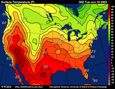
Thematic Map
Map emphasizing a specific theme or pattern (e.g., climate, population).
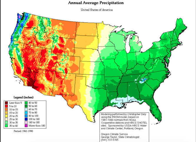
Choropleth Map
A thematic map using shading or colors to show data values.
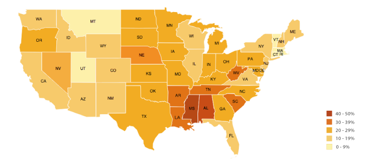
Dot Map
A thematic map using dots to represent occurrences or quantities.
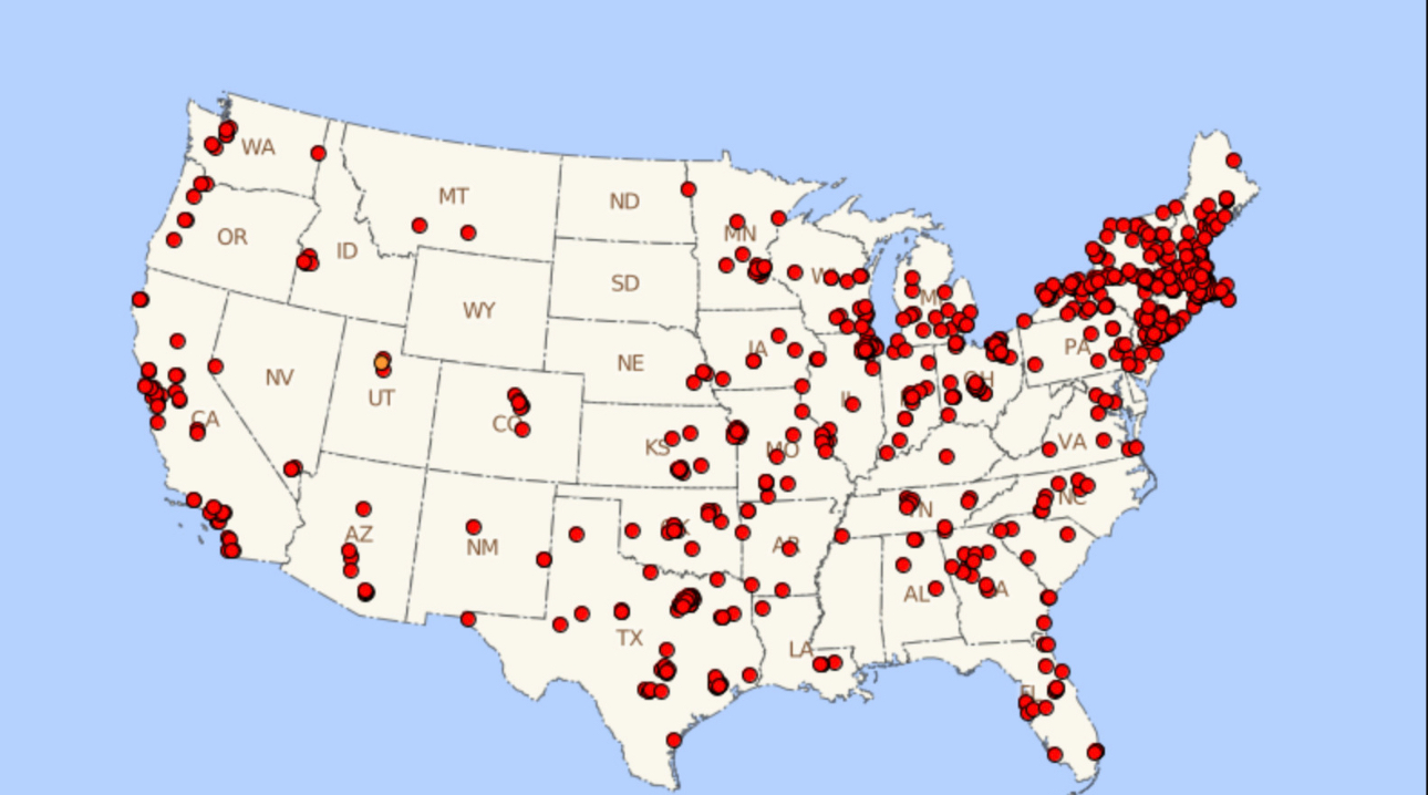
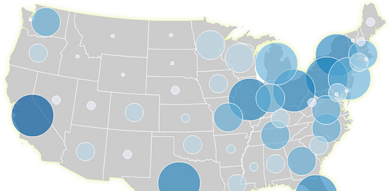
Graduated Symbol Map
A thematic map using differently sized symbols to indicate magnitude.
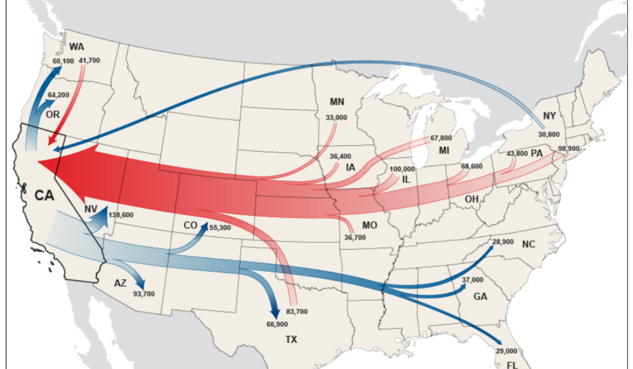
Flow Map
A thematic map showing movement of people, goods, or ideas.
Toponym
The name given to a place.
Development
The process of improving the economic, social, and political well-being of people through growth, innovation, and quality of life improvements.
HDI (Human Development Index)
A composite measure of a country's development based on life expectancy, education level, and per capita income.
Wallerstein's World-systems theory
A model that explains the global economy as a system divided into core, semi-periphery, and periphery countries that are linked by unequal economic relationships.
GII (Gender Inequality Index)
A measure of gender disparities in a country based on reproductive health, empowerment, and labor market participation.
GDI (Gender Development Index)
A measure comparing the HDI scores of men and women to assess gender equality in human development.
AFR (Adolescent Fertility Rate)
The number of births per 1,000 women aged 15-19 in a given year.
MMR (Maternal Mortality Ratio)
The number of maternal deaths per 100,000 live births due to complications from pregnancy or childbirth.
Scale of analysis
The spatial or temporal scope at which data is examined, such as local, regional, national, or global levels.
Level of aggregation
The degree to which individual data points are grouped or summarized into broader categories for analysis.
Gross National Income (GNI)
A measure of the total wealth generated within a country, used to compare economic development between countries.
Linear
Description of objects in close proximity, common distribution pattern found along a road or river in a straight line.
Mercator Projection
Map projection distorted on the North and South margins, famous for greatly enlarged misrepresentation of Greenland.
Cartogram
A graph in the form of a map distorting the size of geographic units to reflect data.
Hearth
The place where an innovation originates.
Homogenous
Composed of parts or elements all of the same kind or nature.
Distortion
Inaccuracy created when a three-dimensional area is represented on a two-dimensional flat surface like a map.
Less Developed Country (LDC)
Places that have had historically uneven economic and population growth levels.
More Developed Country (MDC)
Also known as a relatively developed country or a developed country, country that has progressed further along the development continuum.
Scale of Analysis
The spatial extent of level at which a phenomenon studied (ex/ global, national, state).
