Social Studies 4th Grade
1/23
There's no tags or description
Looks like no tags are added yet.
Name | Mastery | Learn | Test | Matching | Spaced |
|---|
No study sessions yet.
24 Terms
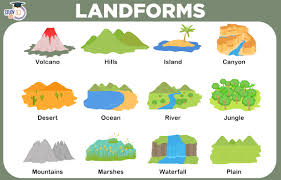
Landform
A natural feature of Earth’s surface such as a hill, a cliff, or even an island
Mesa
It is like a hill, but the top is flat
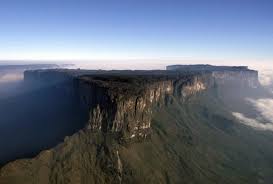
Plateaus
They are large, flat raised areas of land.
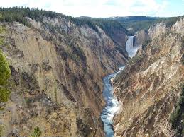
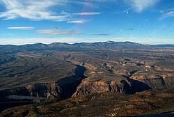
Canyon
It is a deep, narrow valley with steep, rocky sides.
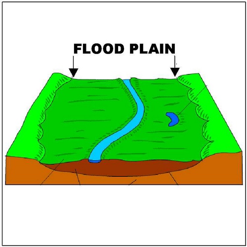
Flood Plain
It is formed after a river has overflowed
Geography
The study of the Earth
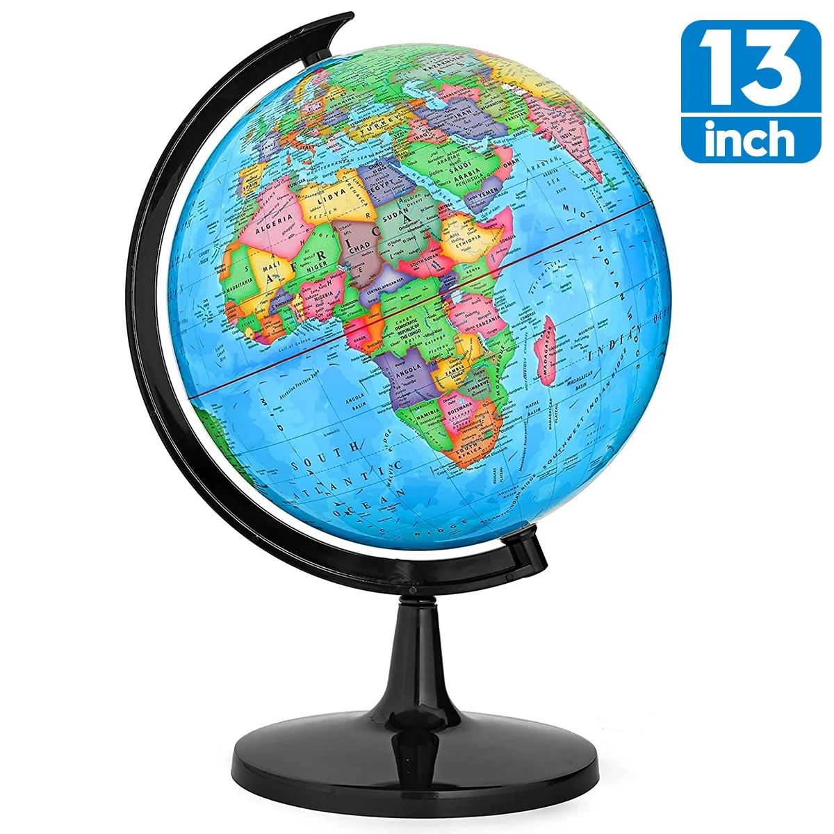
Globe
A round model of Earth
What are the 5 divided themes of Geography?
Location, Place, Human or Environmental Interactions, Movement, and Region
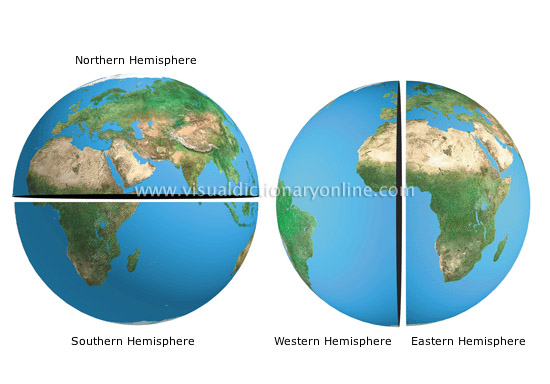
Hemisphere
It divides the Earth into halves (in 2) between the equator and the prime median.

Prime Median
The line drawn from the North Pole to the South Pole, that divides Earth into the Western Hemisphere and the Eastern Hemisphere
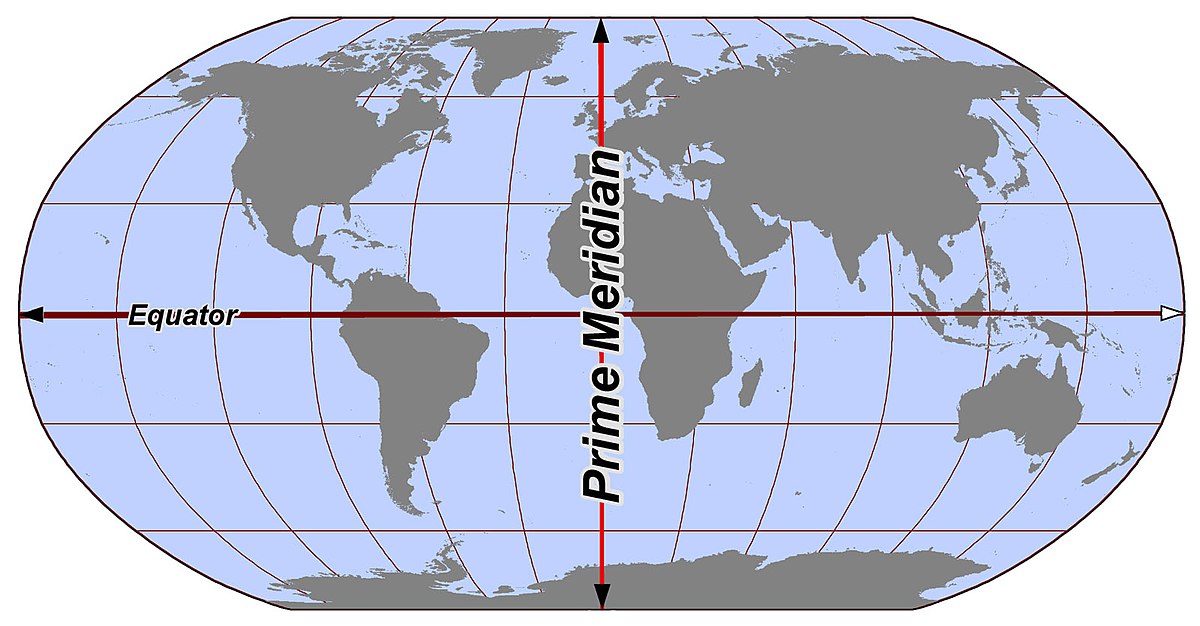
Equator
An imaginary line that runs around the center of the Earth halfway between the North and South Pole
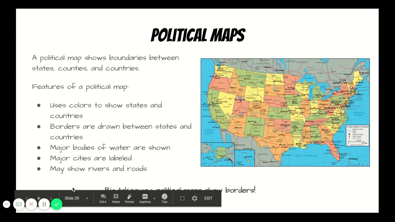
Political Map
It shows major landforms and bodies of water to help locate places
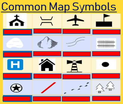
Symbol
A small drawing, line of color that stands for something on a map
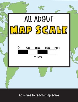
Map Scale
It shows the relationship between distance on a map and distance on Earth
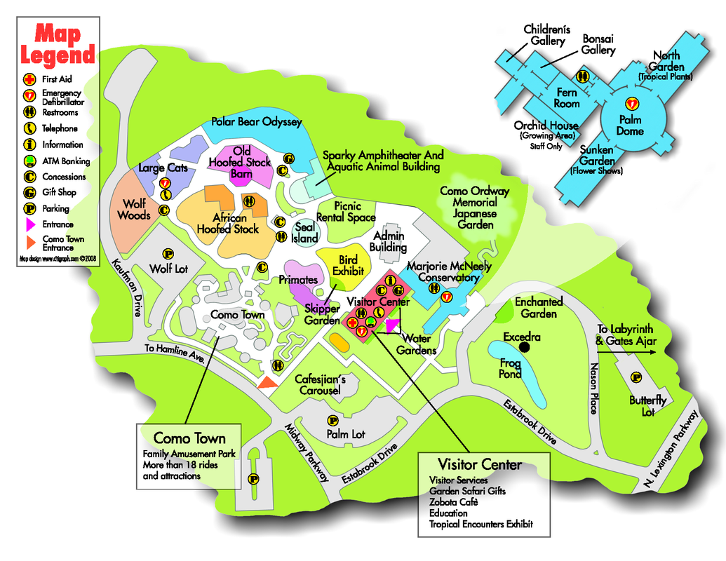
Map Legend
A key that tells what each symbol on the map stands for
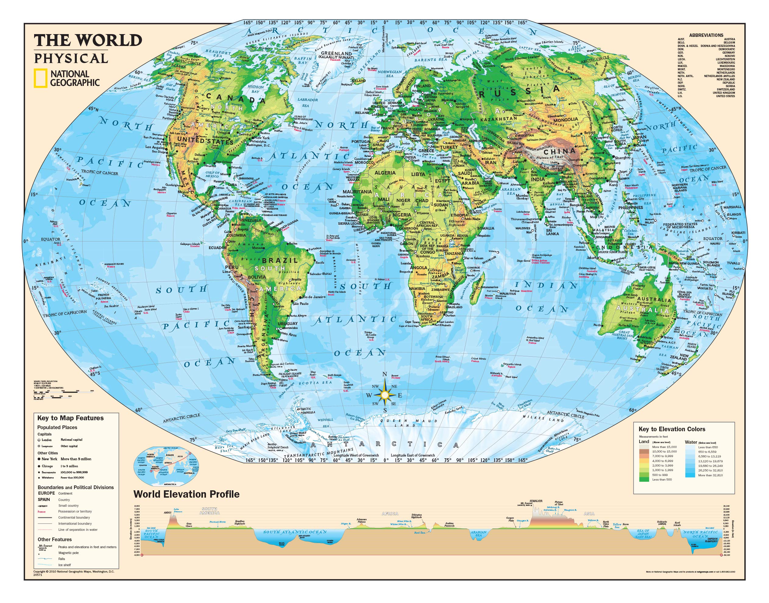
Physical map
A map that shows geographic information of a place, such as landforms and bodies of water
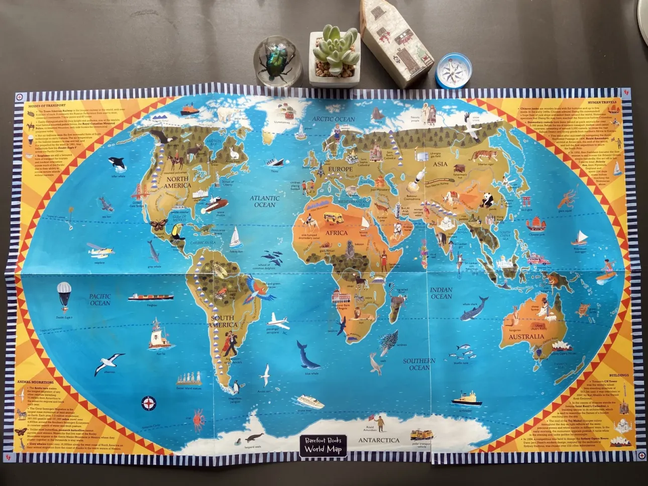
Atlas
A collection or book of maps
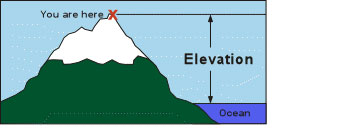
Elevation
The height above sea level
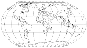
Grid
A system of lines that cross each other forming a pattern of squares
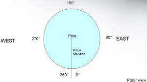
Degrees
A unit of measurement; There are 360 degrees of latitude and longitude used to locate places on Earth
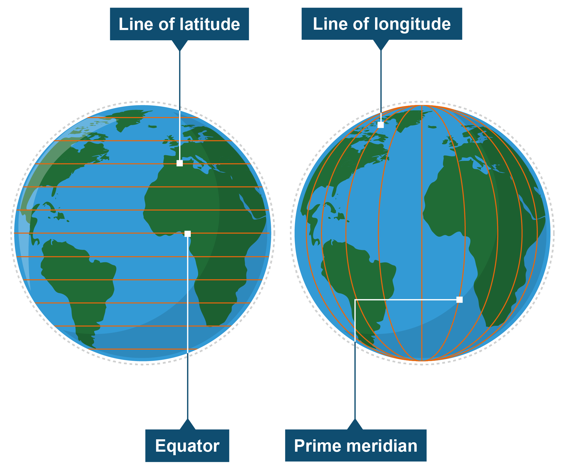
Longitude
A set of lines that run through the North and South Pole

Latitude
Set of lines that measure the distance of North and South of the equator
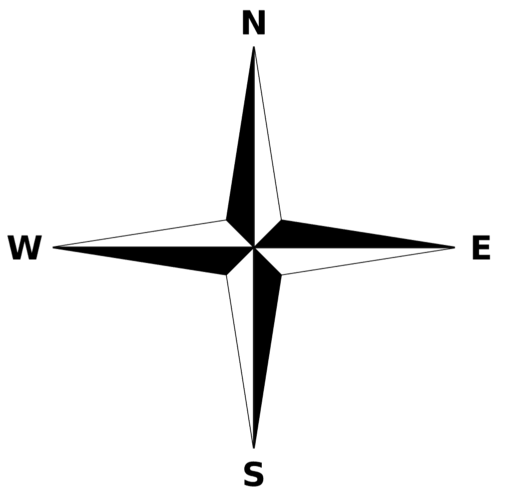
Cardinal Directions:
North, South, East, West
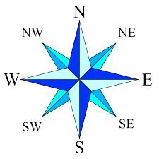
Intermediate Directions:
Northeast, Southeast, Northwest, Southwest