AP Human Geography - Unit 1
1/45
Earn XP
Description and Tags
Name | Mastery | Learn | Test | Matching | Spaced | Call with Kai | Chat |
|---|
No analytics yet
Send a link to your students to track their progress
46 Terms
Absolute distance
coordinates, specific location
Relative distance
In relation to something else
Absolute direction
North, East, South, West
Relative direction
left, right, up, down
Large scale/ number
more zoomed in/ detailed
Small scale/ number
Zoomed out, less detail
Cartographic scale
ratio of map to actual
geographic scale/ relative scale
amount of territory
Scale of the data
geography measurement
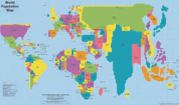
Thematic map
Show data
Reference map
Show people where to go
Choropleth Maps
Uses colors/ shades

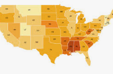
What type of map is this?
Choropleth map
Dot distribution map
Specific location
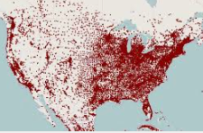

What type of map is this?
Dot distribution map
Graduated symbol map
Symbols size to show amount

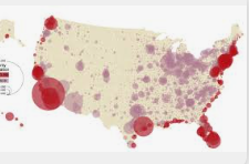
What type of map is this?
Graduated symbol map
Isoline map
Use lines to show variation
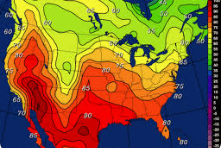

What type of map is this?
Isoline map
Cartogram
Map that changes the size of the
countries based off a factor

What type of map is this?
Cartogram
quantitative
numbers
qualitative
interpretations
census
official population count
Demographic info
Info about the people who live in a specific place
Remote sensing
Satellites and aircraft based sensors
GPS
Global Positioning System
Site
absolute location and physical characteristics
Situation
Relative location
Toponyms
Name given to a place that describes it (can be accurate or inaccurate)
Environment Determinism
Human Behavior is controlled by the physical environment
Possibilism
People can live in harsh climates by shaping it
Distance decay
The farther away something is the less you interact with it
True or False, the smaller the number, the smaller the scale?
True
What’s GIS do
Geographic Information Systems, break geographic data into layers
Formal Region
Area that has 1 or more shared traits
Functional Region
Also called Nodal Region, Area organized by its function around a focal point (node)
Perceptual Region
Also called Vernacular Region, regional that reflects people’s thoughts
Clustered
Also called Nucleated
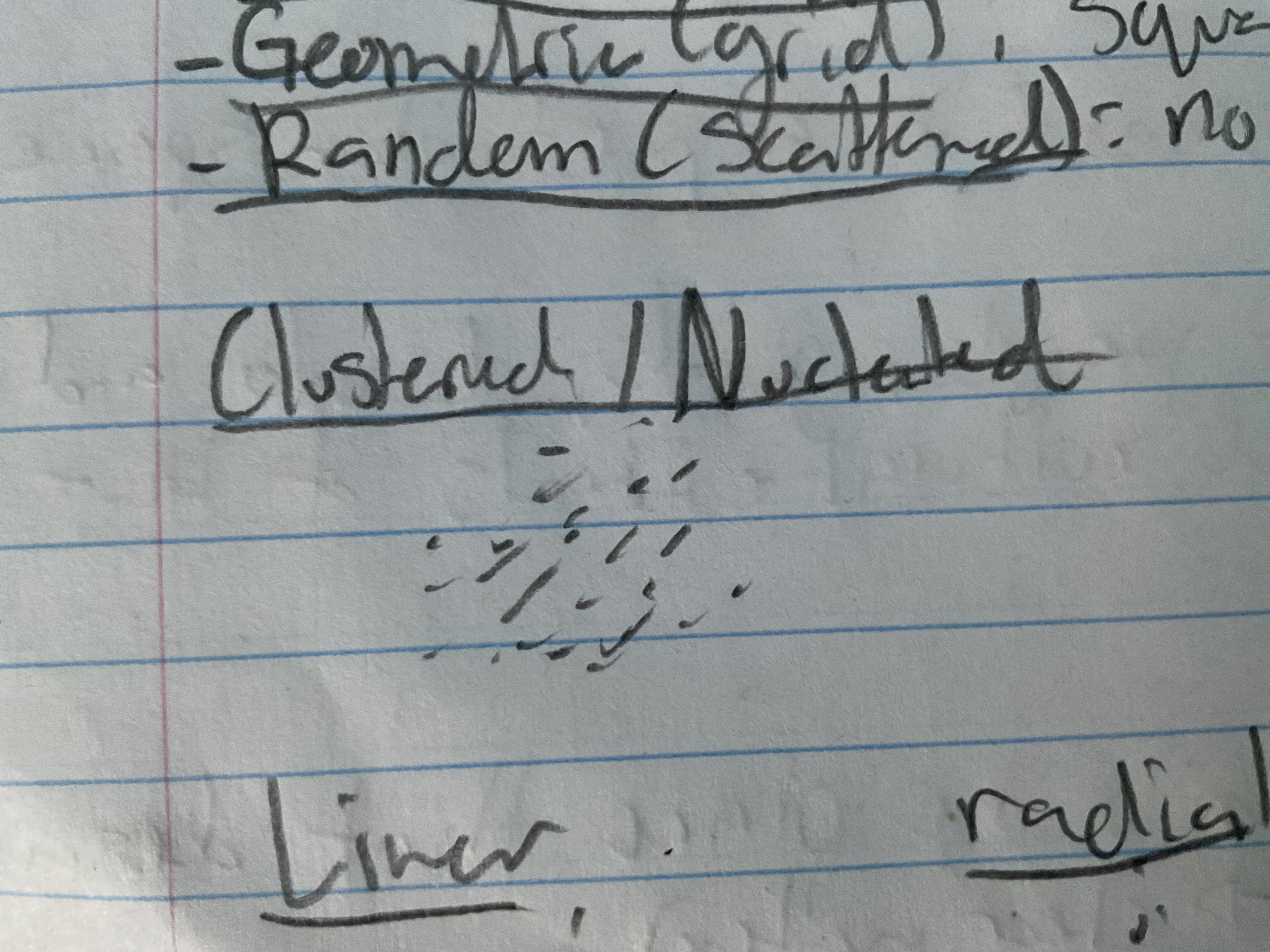
Peripheral
Circle
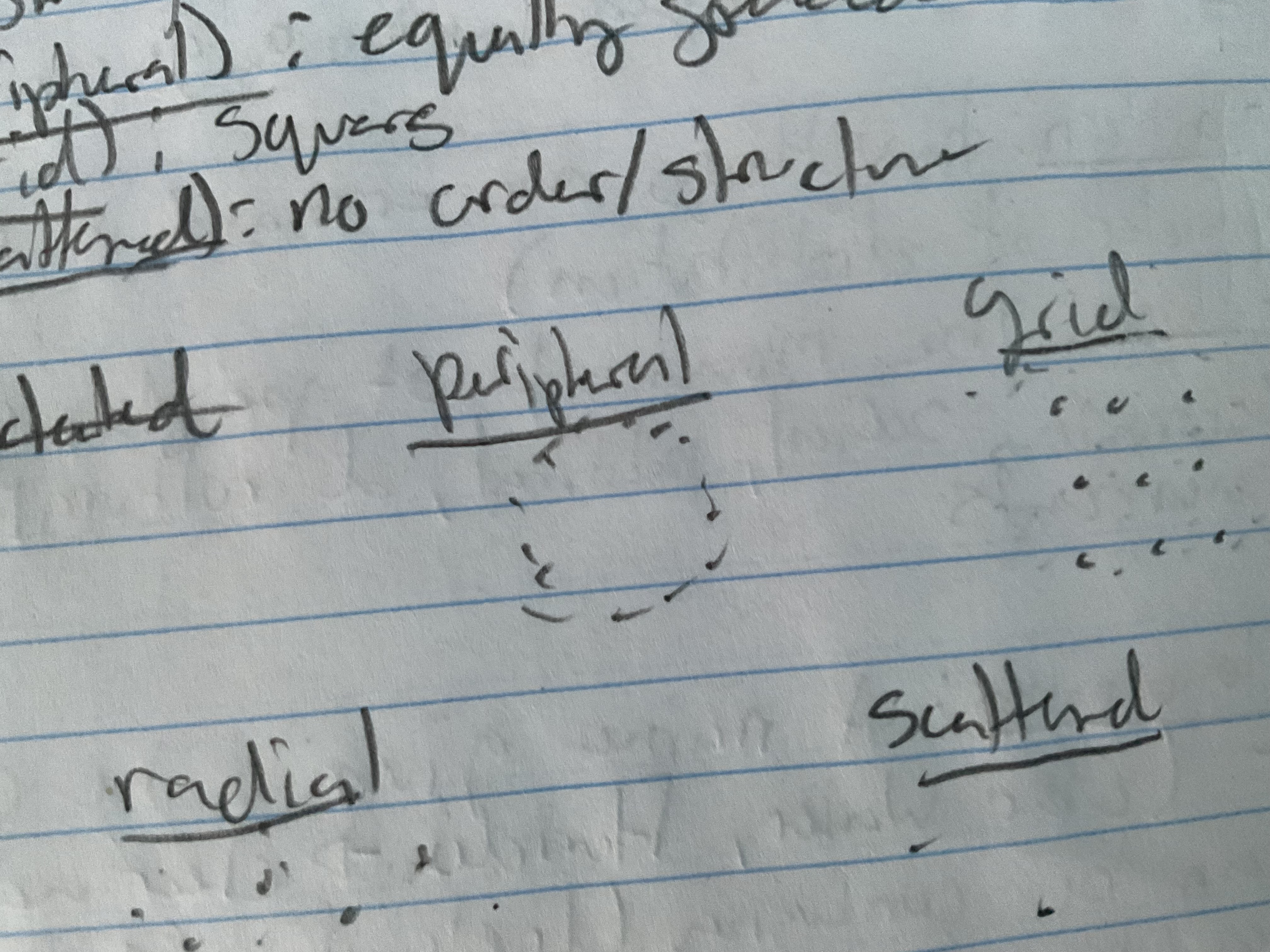
Grid
Squares
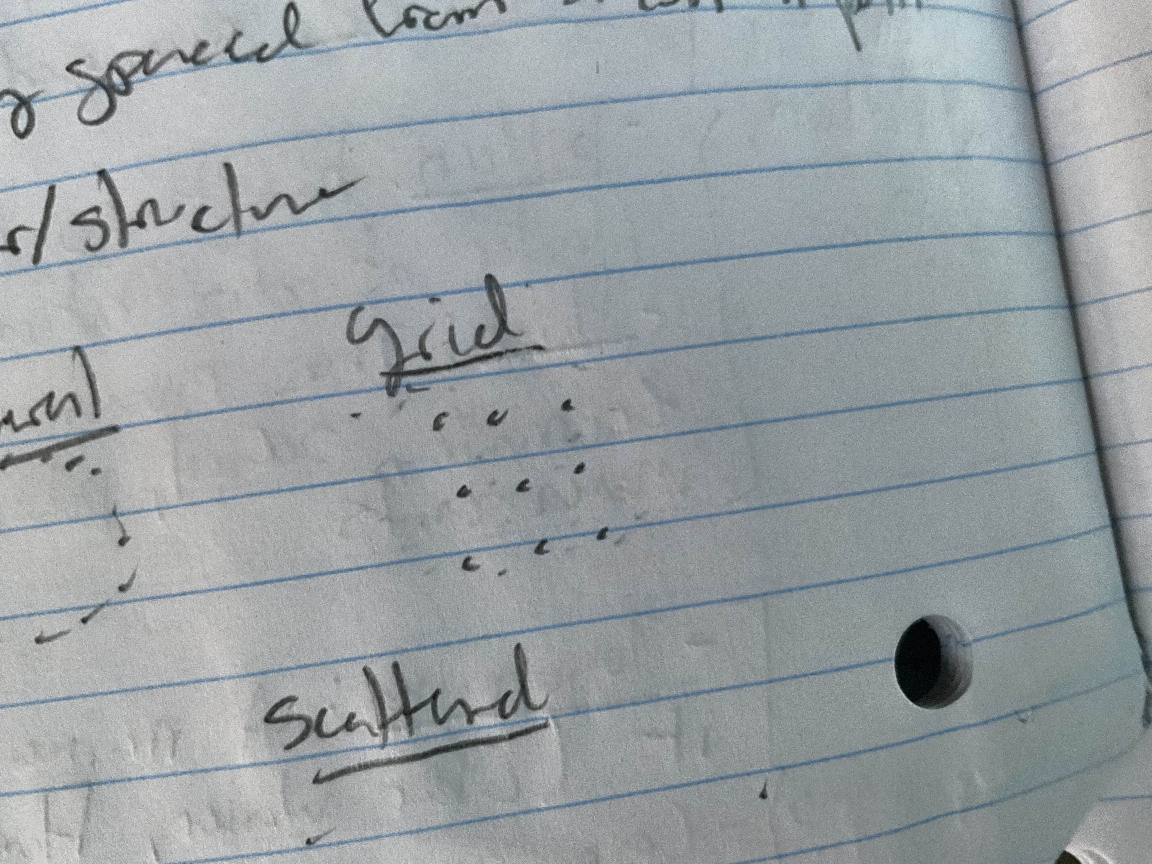
Linear
Line
Radial
Star
Scattered
Random
Mercador (purpose, strength, weakness)
Purpose: navigation
Strength: direction
Weaknesses: Distorts landmasses near the poles
Robinson (purpose, strength, weakness)
Purpose: Education
Strength: Minimizes size distortion
Weaknesses: No true direction