3 Describing locations, coordinate systems and projections
 Call Kai
 Learn
Learn Practice Test
 Spaced Repetition
 Match
Match Flashcards
 Knowt Play
1/48

There's no tags or description
Looks like no tags are added yet.
Name | Mastery | Learn | Test | Matching | Spaced | Call with Kai | Chat |
|---|
No analytics yet
Send a link to your students to track their progress
49 Terms
Linking data to a location
Georeferencing
What sorts of georeferences are used by people?
place names
addresses
What sorts of georeferences are used by computers?
coordinate systems
Requirements for georeferences
uniqueness
shared meaning (everyone should interpret it the same way)
persistent over time
Potential exam question:
Give an example of a georeference which is not unique?
Give an example of a georeference which is not persistent over time?
Let’s meet at the train station (not unique, which train station?)
borders of Switzerland, a city
Properties of georeferences
domain of uniqueness
may be based on measurement or be relative
positional uncertainty
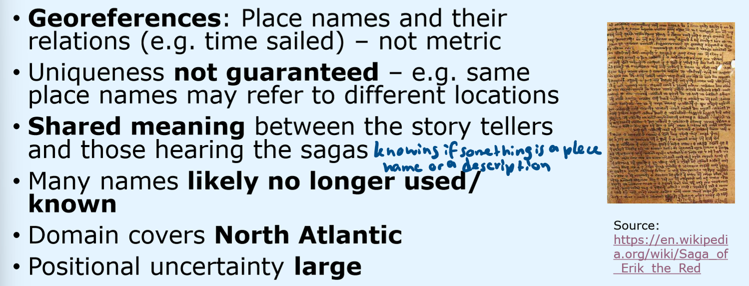
Let’s analyze the georeferences in the Icelandic saga!
What type of georeferences are there?
uniqueness?
shared meaning?
persistent over time?
domain?
positional uncertainty?
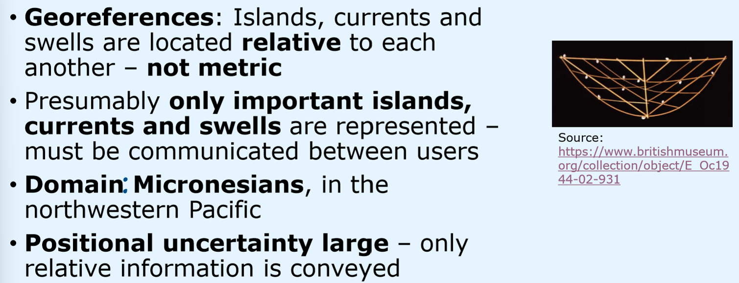
Let’s analyze the georeferences in the Rebbelib!
What type of georeferences are there?
uniqueness?
shared meaning?
persistent over time?
domain?
positional uncertainty?
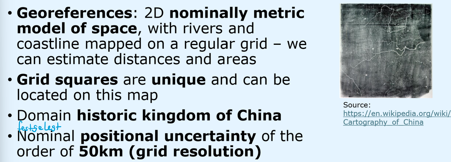
Let’s analyze the georeferences in the Yu Ji Tu!
What type of georeferences are there?
uniqueness?
shared meaning?
persistent over time?
domain?
positional uncertainty?
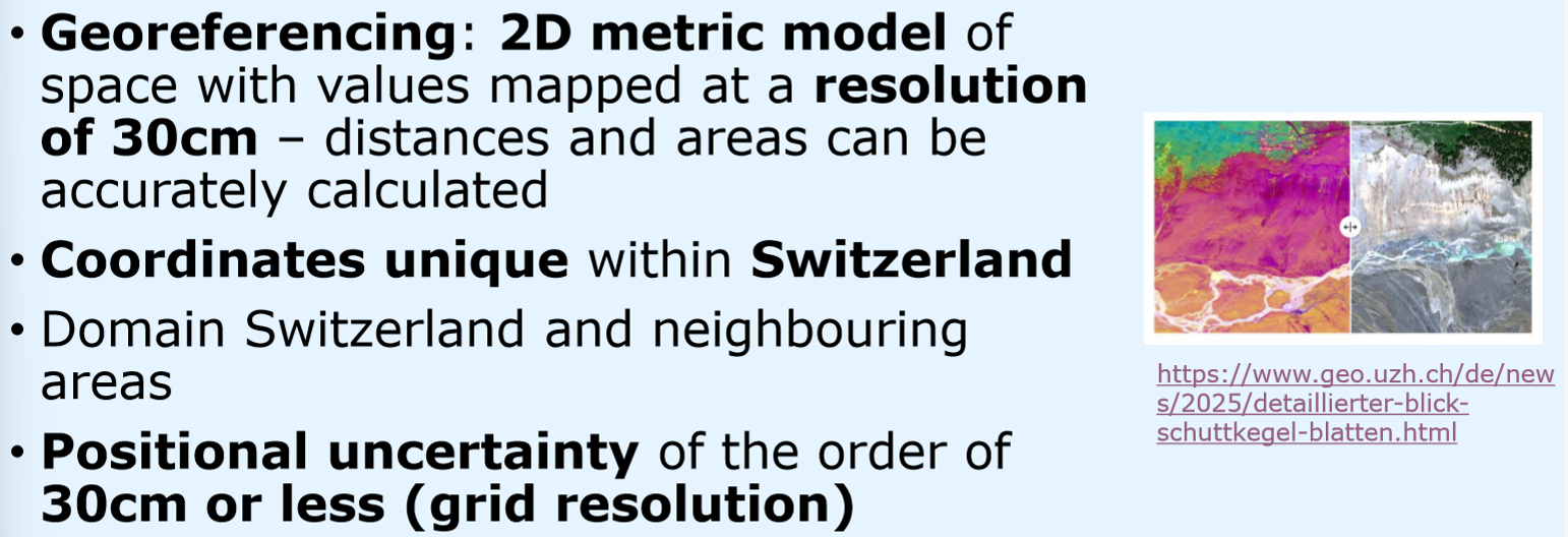
Let’s analyze the georeferences in Predicting and responding to disasters!
What type of georeferences are there?
uniqueness of coordinates?
domain?
positional uncertainty?
Let’s analyze the georeferences in Choosing routes!
What type of georeferences are there?
uniqueness of coordinates?
domain?
positional uncertainty?
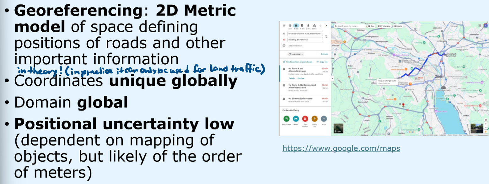
3 approaches to georeferencing
place names
objects and their relative position to each other
coordinates for positions of discrete objects or continuous fields (reflectance values)
Problems of place names
one place can have more than one name (Flurnamen)
several places can habe the same name
names can change over time
names can have different positional uncertainties (Switzerland vs Rütli, Seelisberg, Switzerland)
What do these problems of place names mean for computers?
These problems can be solved by people but can be difficult for computers, especially rescue services
Problems of addresses and postcodes
different systems in different countries, less formalized
address of a house isn’t always the exact location of the person in MFH or Altbauten
informal settlements are often not captured
Referencing system based on distance, allow to identify locations on a network, historical example: milestones, today: transport networks
Linear reference systems
Potential exam question:
Place names, addresses an distance along e.g. railway tracks can all be used to locate information (as georeferences). Using examples, discuss potential advantages and disadvantages of such approaches to georeferencing
Place names:
(+) Names appear across languages and cultures
(-) not unique
(-) can refer to multiple objects
Adresses:
(+) systematic
(-) different systems in different countries
(-) don’t always specify an exact location
LRS:
(+) easy to map
(-) one-dimensional
(-) only locations along the network
Potential exam question:
Is Bahnhofstrasse 30 a unique georeference? Explain briefly why this is (not) the case?
not unique
lots of streets across Switzerland and other german speaking countries have one street with the same name
What georeference is used for making maps and calculations?
Metric georeferencing
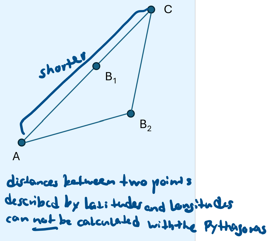
Metric georeferencing:
Geometric property where dist(AC) < dist(AB) + dist(BC)
Triangle inequality
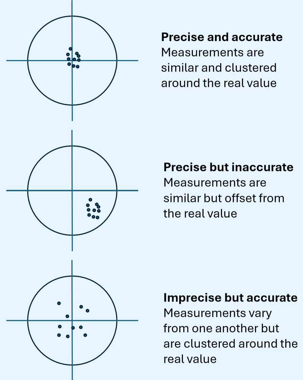
Detail and repeatability of a measurement in metric georeferencing
Spatial precision
How close a measurement is to reality
Accuracy
Precise and accurate
Precise but inaccurate
Imprecise but accurate
Angle measuring distance north or south of equator
with a fixed point relative to earth (north star)
Latitude
Angle measured using time relative to Greenwich
with very accurate clocks
Longitude
How is latitude defined?
Earth be approximated as an ellipsoid at sea level, the flattening of this axis is 1/300 compared to an axis parallel to the equator
How is longitude defined?
We start from the eat axis of rotation. Earths centre of mass lies on this axis and a plane perpendicular to the axis. We divide earth into 360° of longitude (each parallel to axis of rotation). Each degree can be subdivided into 60min and 60s. Prime meridian (0°) runs through Greenwich Observatory
Parameter set describing properties of an ellipsoid
Datum
Global standard ellipsoid for global positioning
WGS84
Properties of WGS84
Semimajor axis: centre to equator (6378km)
Flattening: 1 in 298
0° longitude 100m east of Greenwich Observatory
Standard code system for datums and projections
originally developed by European Petroleum Survey Group
EPSG codes
Official geographic coordinate system for Switzerland
CH1903+
Why do we need projections?
On a map the world needs to be represented as 2D. To go from ellipsoid 3D to 2D we need to project from spherical coordinates (latitude, longitude) to cartesian coordinates (x, y) -> for this disortion we need a starting point which is a datum of the geographic coordinate system we are starting from (WGS1984 or CH1903+) and a set of equations to transform latitude/longitude into x,y
Projections that maintain the shapes of small features
Conformal projections
Projections that maintain correct surface sizes
Equal area projections
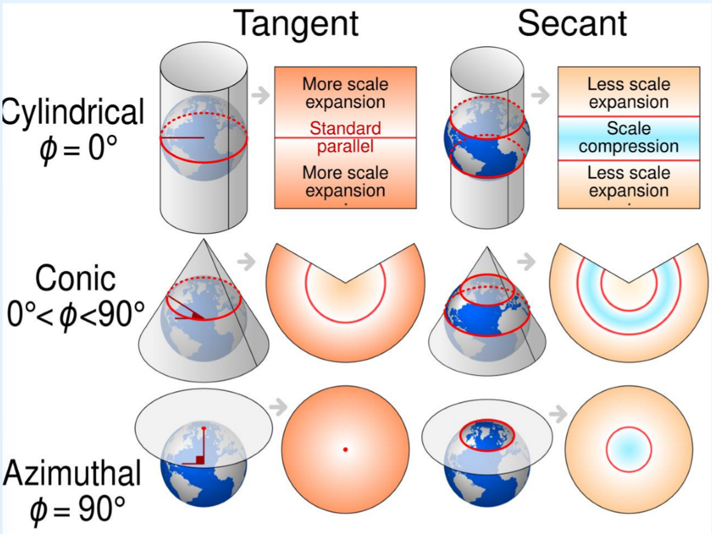
Projection where we wrap a cylinder round the earth, the distortion is the smallest where the cylinder touches the earth
Cylindrical
Projection where we touch the earth with a flat sheet of paper
Planar
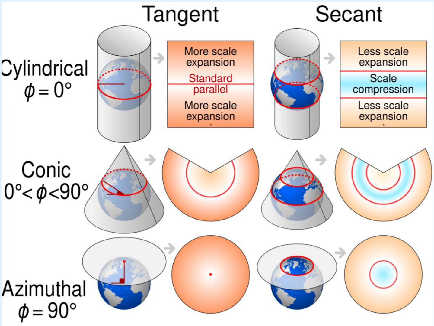
Projection where we wrap the earth in a cone
Conic
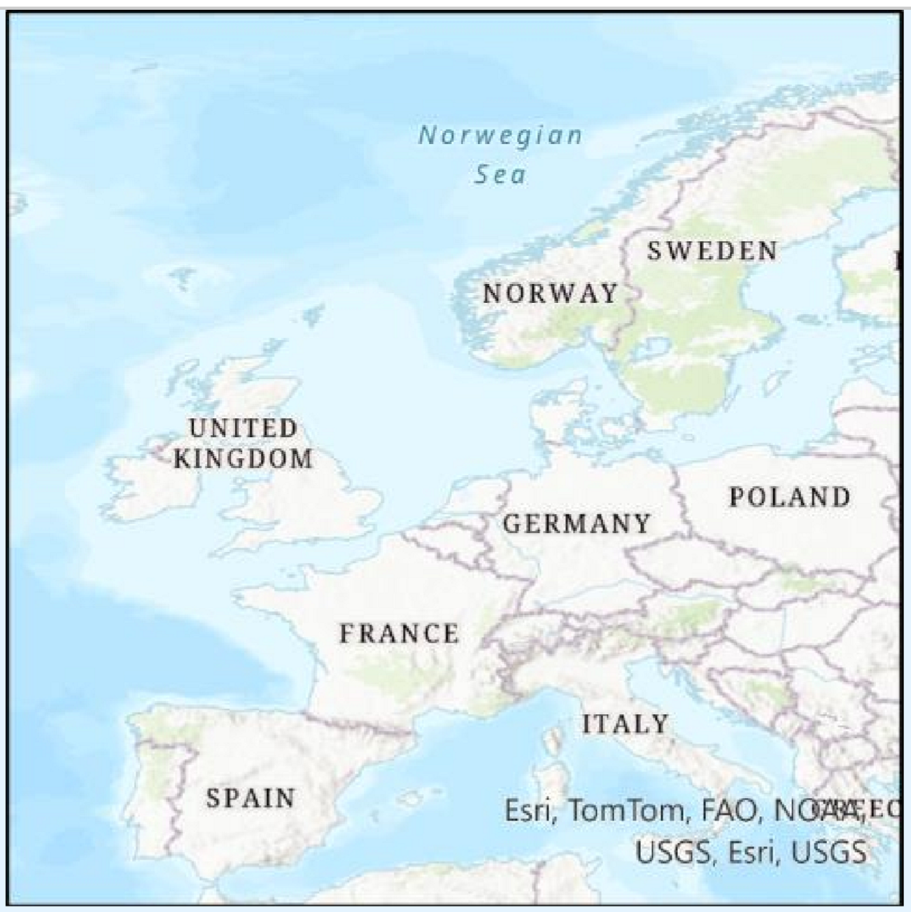
Simplistic projection mapping long/lat directly to x/y, no equal area
Plate carré
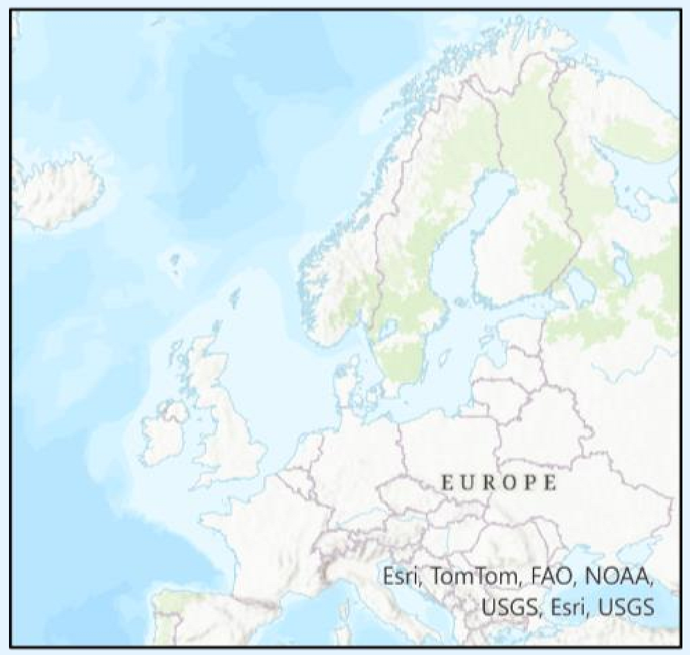
Conformal cylindrical projection with a tangent at the equator
x = λ and y = ln(tan(Φ/2 + π/4)
Mercator
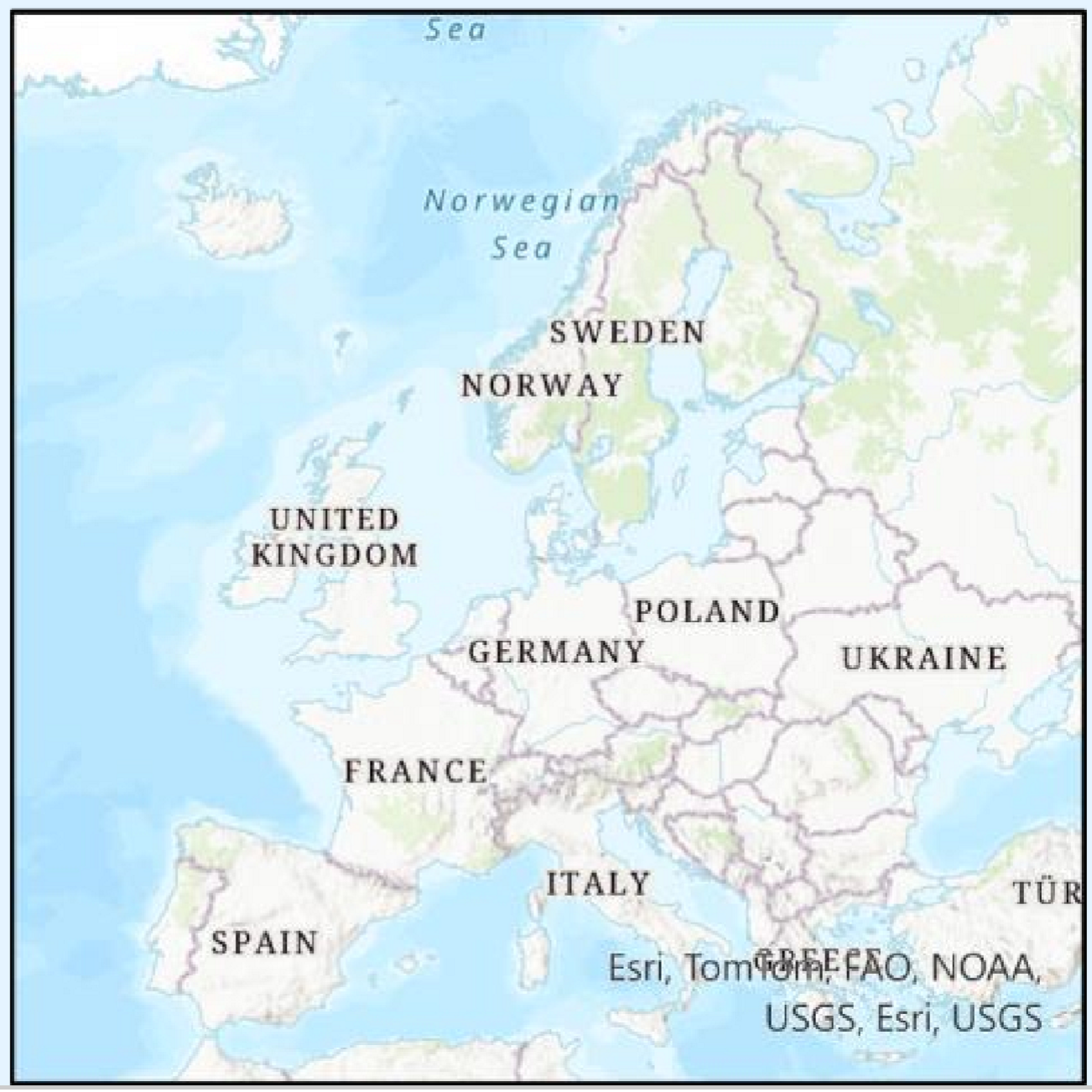
European projection standard, area preserving
Lambert azimuthal equal area
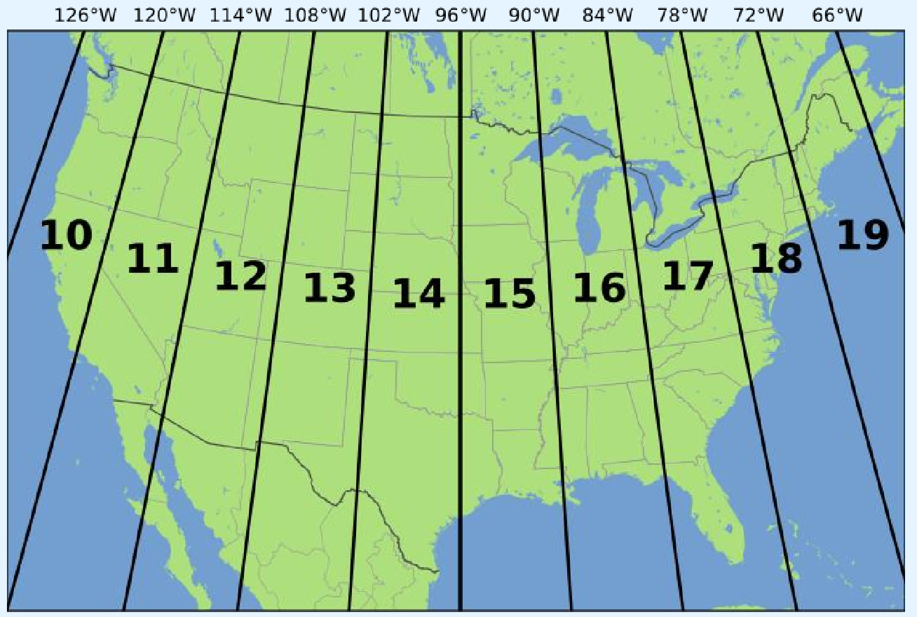
Projection type wrapping a cylinder around poles, military, global remote sensing data, divided into 60 zones, positional uncertainty of 0.04%
Universal Transverse Mercator
What are most countries’ local projections based on?
GPS coordinates
Can you transform between datums and projections?
Yes
Problems when transforming between datums and projections?
GIS reprojects the data on the fly, but all the data should be transformed for calculations
Distortion becomes a problem for maps with large areas
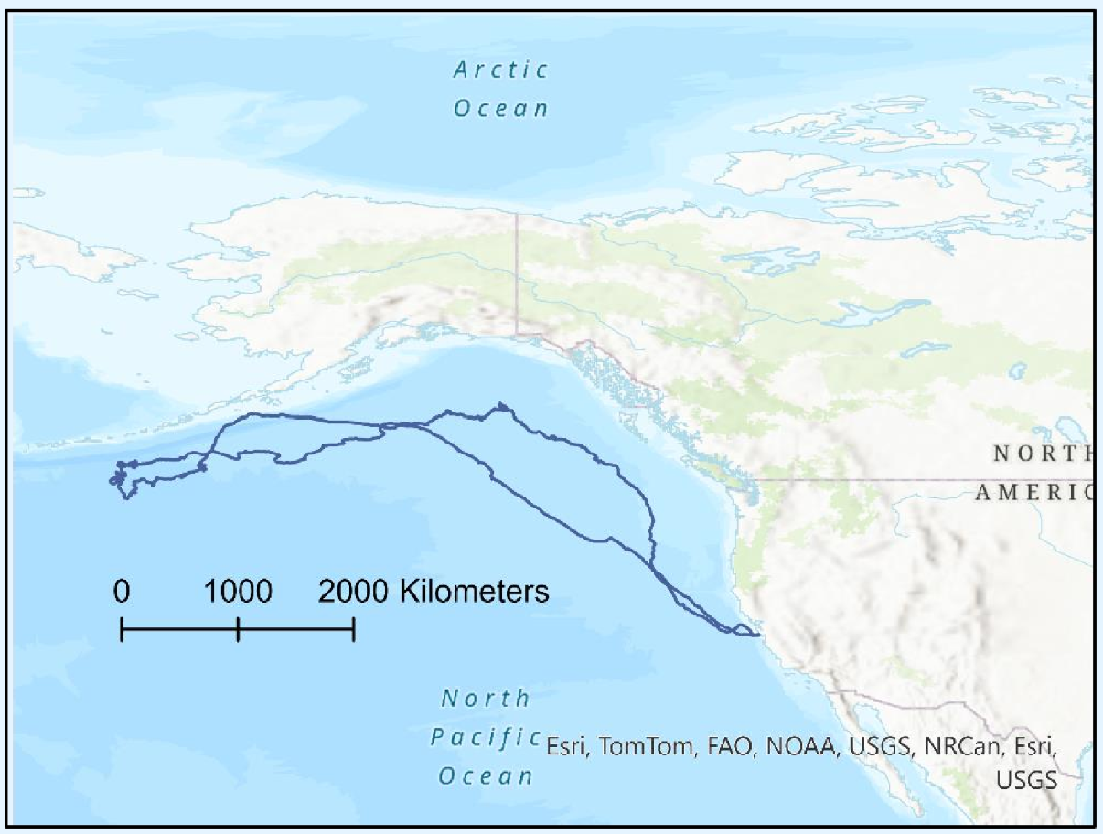
Seal journey projected with WGS84
Plotting in 2D using WGS -> lot of disortion
Distance is in degrees -> not meaningful GEO113 – GIS HS2025 Summary gigi 15
-1° is 111km at equator, 0km at pole
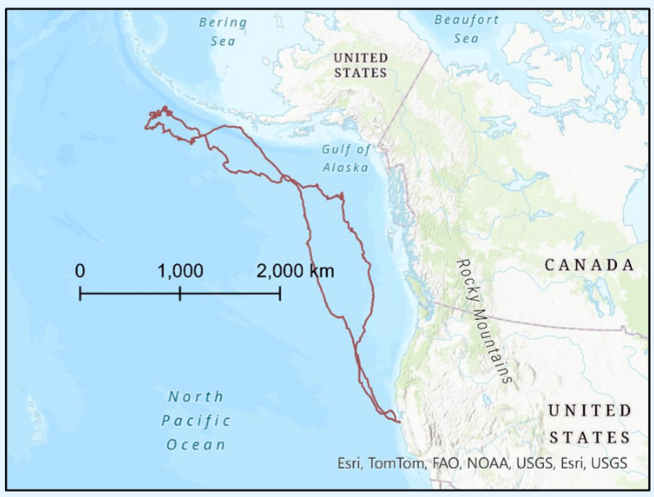
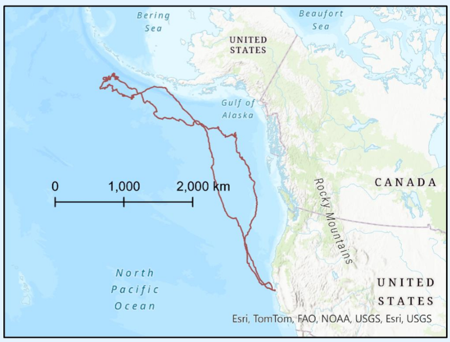
Seal journey projected with Lambert conformal conic
shapes good
distances are accurate along parallels and disorted elsewhere
better for calculating areas than distances
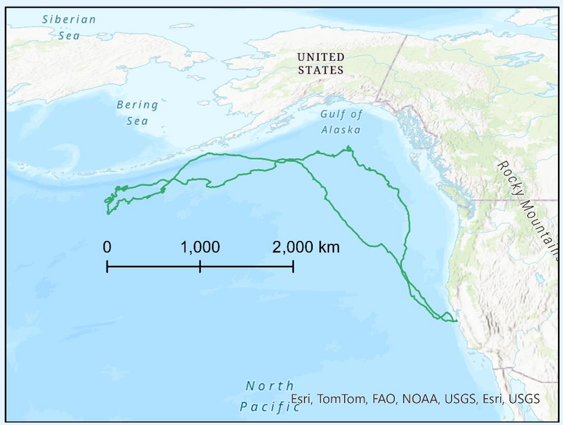
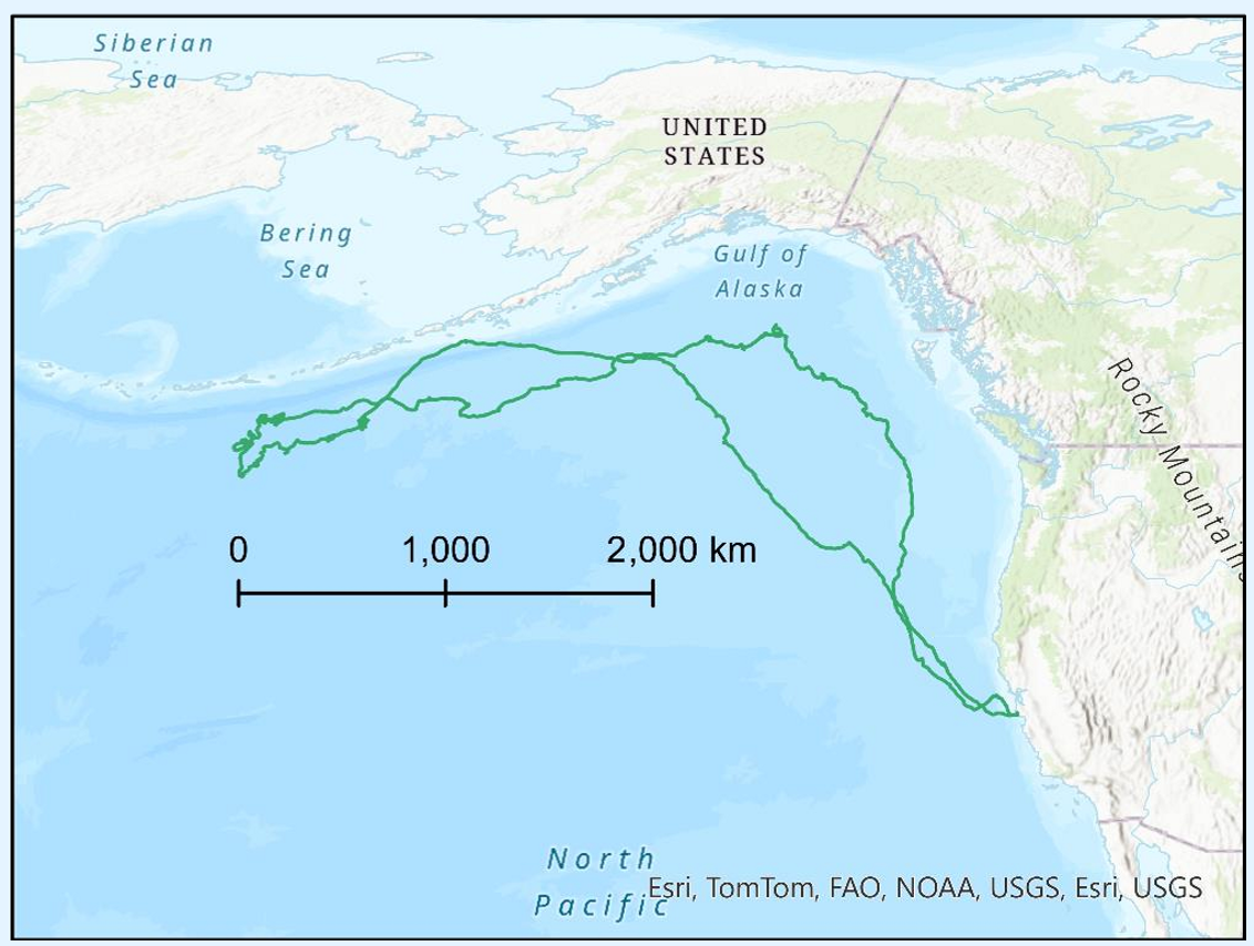
Seal journey projected with equal area projection
Relative areas good
Shapes, distances disorted
Potential exam question:
You are working with biologists who are monitoring the position of migrating storks. The biologist wants to measure the size of their territories. The positional data have been collected using geographic coordinates in WGS84. The biologist wants to plot positions and measure areas using a Plate Carrée projection (x=longitude y=latitude).
Explain why this is a dreadful idea
SInce the biologist wants to measure areas globally, the plate carrée will distort the areas. The positions of the storks will also be off, because the plate carrée maps latitude and longitude directly to cartesian coordinates.